
I think the hiking trails in the Mountain Bridge Wilderness compose the best trail system in all of South Carolina. There are many connectors allowing you to piece together loops of varying sizes. It’s my goal to hike every foot of this system in 2017. I recently hiked loops involving Raven Cliff Falls, Coldspring Branch/Bill Kimball, and Pinnacle Pass/Rim Of The Gap. This hike was longer (I think somewhere between 11 and 12 miles) and much more rewarding than those loops. You will be challenged if you attempt this loop.
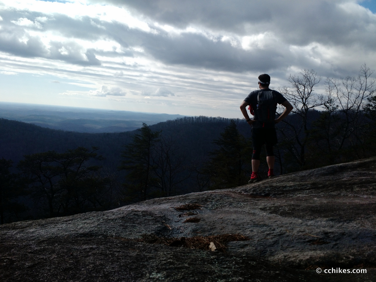
I’m calling this the Caesars Head loop because it takes you from Caesars Head across the sheer ridge lines of the stony peak and down into the gorge. From the bottom, you keep circling the mountain until you’re back at the summit. The climb back up is strenuous. As a matter of fact, most of this hike is strenuous. Several parts of this loop feature conditions where an errant footstep will result in certain death. But walking ledges and scrambling around boulders is what makes this loop so much fun.
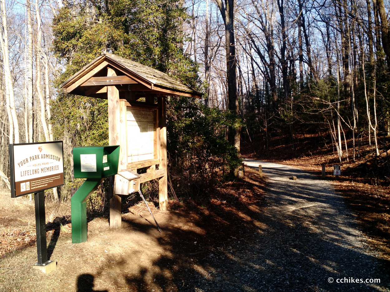
Park at the Caesars Head office. The lot features restrooms (no sinks in the outdoor privies, so bring some hand sanitizer), a water fountain, and a store. The gates are only open from 9:00 am – 4:00 pm, so there’s no sense in arriving earlier than that. But try to get there around 9:00. This parking area fills up fast on sunny weekends. If you need to start hiking earlier, then park at the Raven Cliff Falls lot just down the road and connect to the loop from there (3→7→15). Parking is $2 per person.
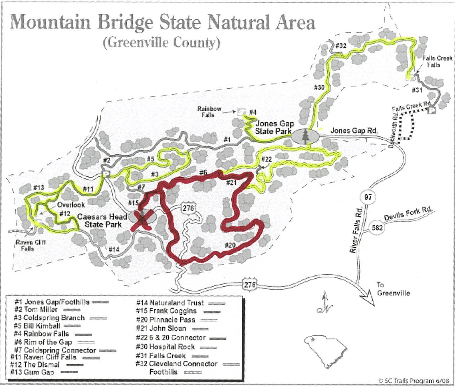
Here’s a map of the loop. The red is the Caesars Head Loop. The yellow is everything I’ve hiked in the area so far. This map is outdated and not entirely accurate. Drop $2 on a current map at the ranger station and carry it with you. I would have scanned mine, but I gave it to two guys in khaki pants and carrying Starbucks cups who had no business being where they were on the mountain.
I talked to the rangers and they recommended that I hike the loop clockwise. Honestly, I don’t think the direction would have made much of a difference. You’re just walking down and then back up the mountain. This loop took me 4½ hours to complete.
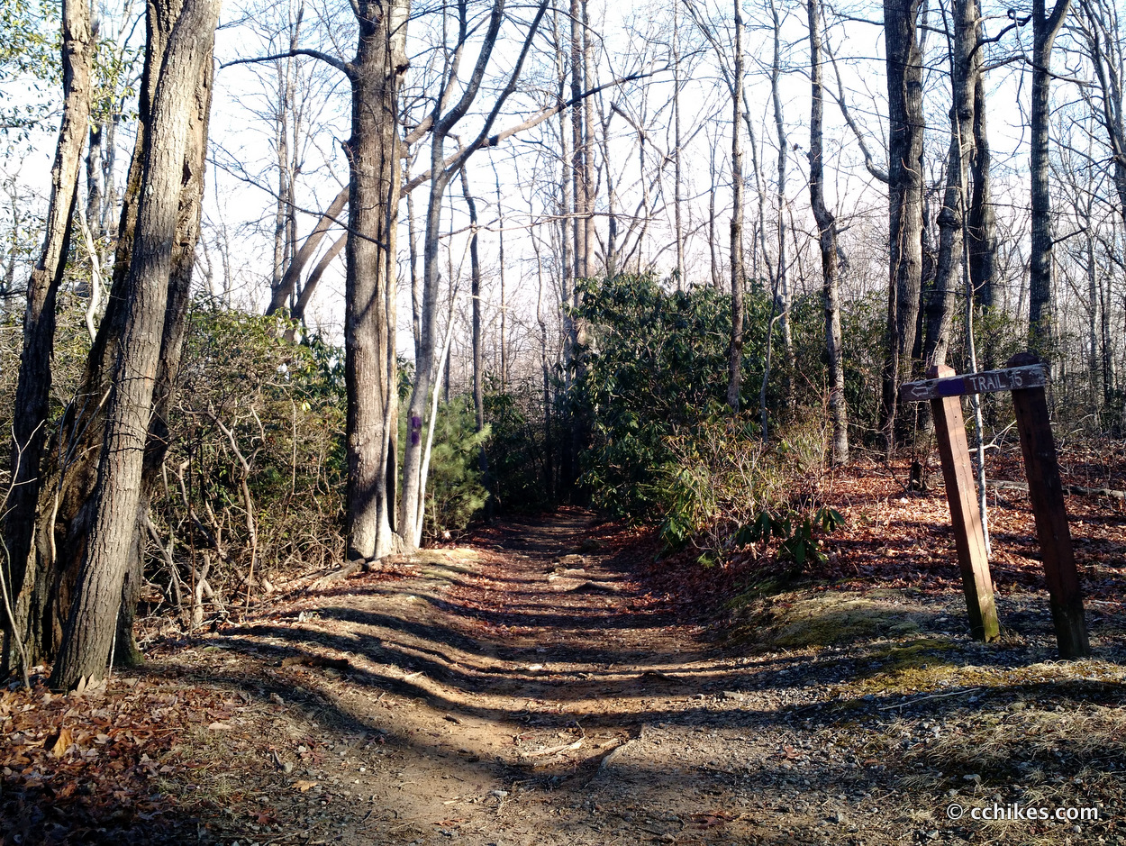
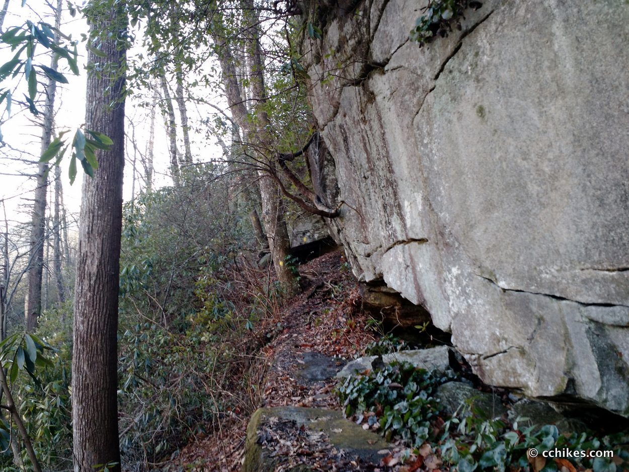
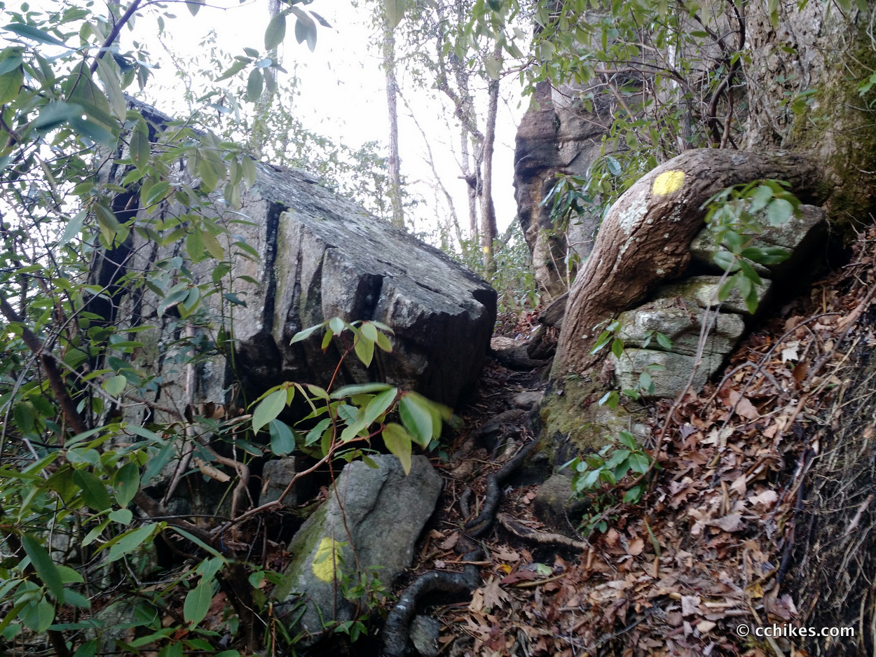
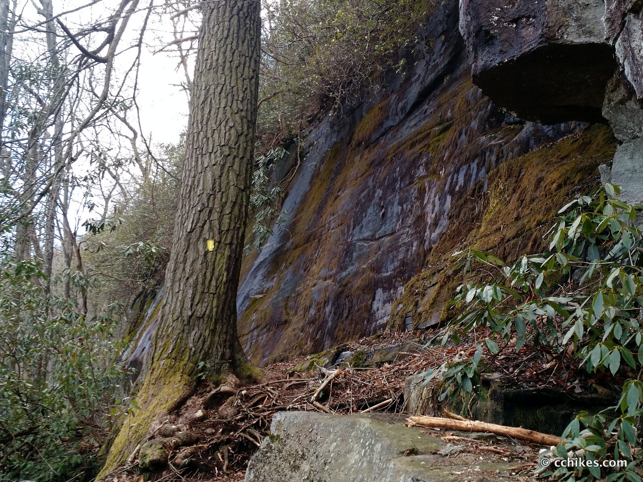
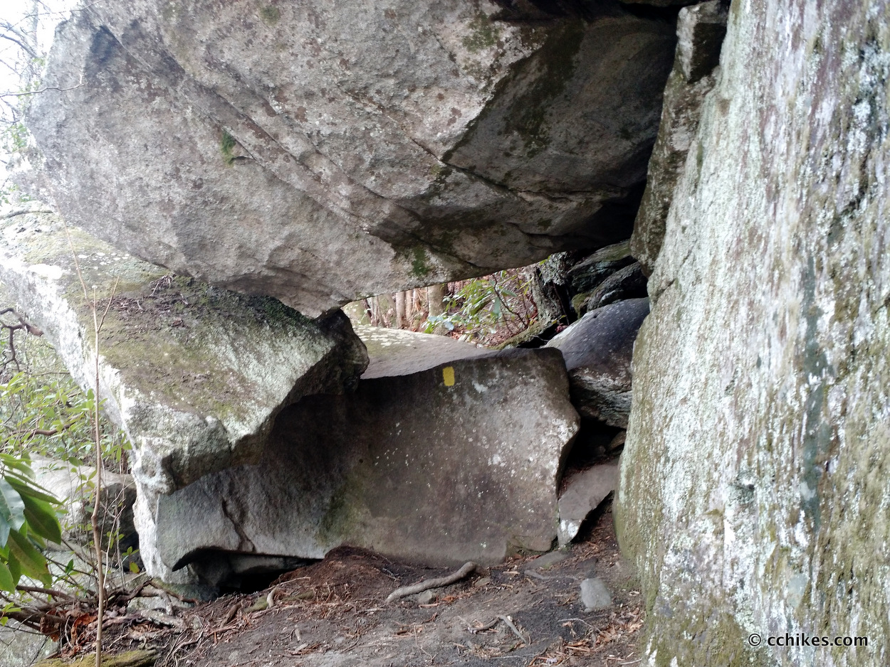
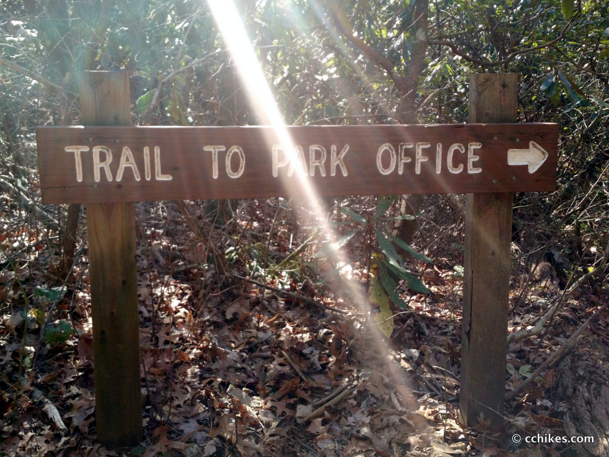
The trailhead is on the other side of HWY 276. Register at the trailhead or else no one will know to come looking for you in case of an emergency. It’s a pretty easy stroll on Frank Coggins (15) until you get to Rim Of The Gap (6). The rim is basically ledge walking. The pathway size varies, but there are many areas where a fall would be fatal. This is not an area for pets or small children. I had a blast. There’s even a hole between the boulders the trail forces you to squeeze through.
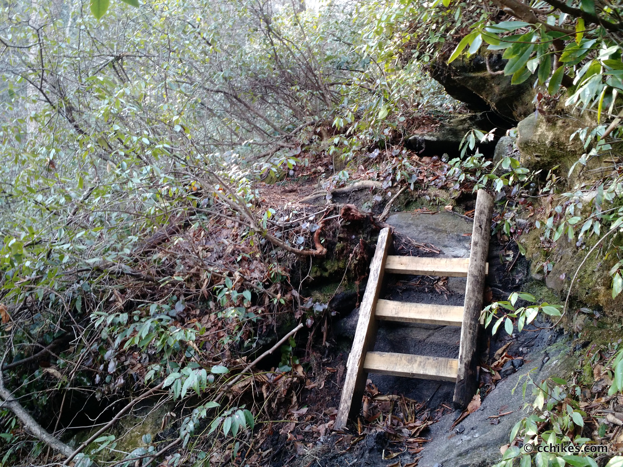
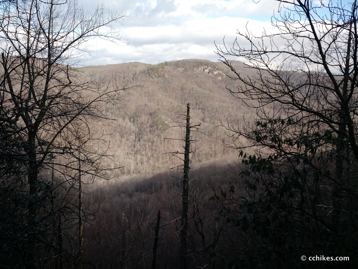
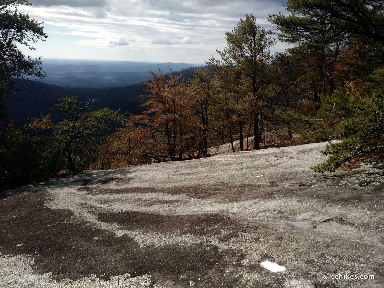
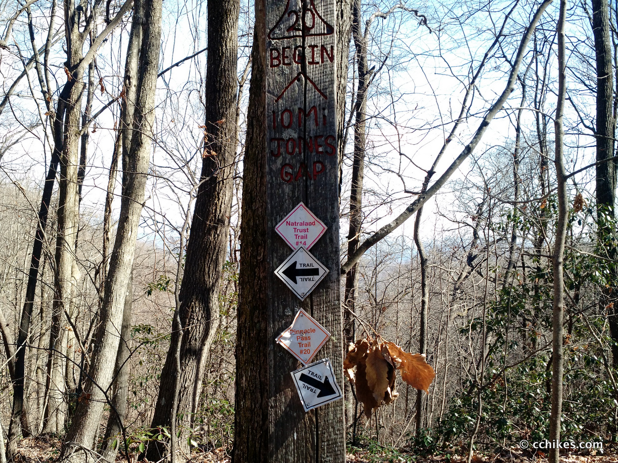
The John Sloan (21) connector is an old forestry road. It brings you to Pinnacle Pass (20), which is tons of fun. This trail takes you down the mountain. Part of the pathway involves scrambling, but it’s not nearly as dangerous as the Rim. The trail goes straight across a beautiful rocky overlook.
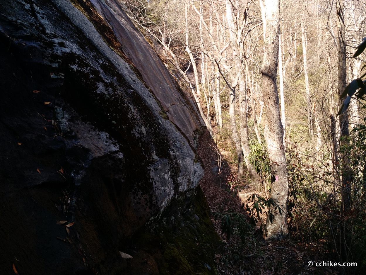
One part of this trail is confusing. The downhill, single track trail spits you onto an old roadbed next to the river at the bottom of the gorge. This is the same trail you were just on, but there are blazes in both directions. It doesn’t make any sense. You turn right here and you’ll soon cross a small concrete bridge. That will confirm that you’re headed west. The bridge is a good place to take a break. The breeze over the water acts like natural air conditioning.
This part of the trail is mostly old forest roads that steadily climb back up the mountain. There are switchbacks when necessary, so it’s not too strenuous. Once you start crossing HWY 276, the trail gets steeper and is very strenuous the rest of the way. Eventually, you’ll intersect with another part of Frank Coggins (15) and you’ll take that back to the park office.
I only ran into 3 other hikers when I was on the trail—and this was one of the busiest hiking days of the year. It appears that everyone else likes to take short strolls to waterfalls. It’s just as well, as this is one of the more difficult hikes in the area. For comparison, I found this to be much more strenuous than Looking Glass Rock and Pilot Mountain.
I should add that using trekking poles will go a long way toward minimizing the impact on your knees. Plus, your upper body strength is wasted on climbs without poles. Learn which trekking poles I use and recommend.


Leave a Reply