


This loop was sort of an accident. As I said before, I’m trying to hike every foot of the Mountain Bridge Wilderness this winter. I’ve done much of it before, but this is a fun way for me to try to maintain the trail legs I’ve developed in anticipation of my John Muir Trail thru-hike in fall of 2017.
I was in the middle of a great weekend that’s been overshadowed by some marketing consulting work that I’ve allowed to back up on me. So I decided to squeeze in some miles before hitting up a microbrew to knock out some weekend laptop work. In a rare occurrence for me, I slept in and didn’t get to Jones Gap State Park until 10:15 a.m. When I arrived at the gate, the ranger told me he had just given the last parking spot to the previous car. The park had only been open for 75 minutes—which was a bit surprising—but I didn’t really mind.
I drove to the Raven Cliff Falls parking lot at Caesars Head instead. Starting there tacked some welcome miles and elevation onto my hike. I turned this into a ~8.5 mile loop that featured several waterfalls and minimal backtracking.
Orienteering
The trail map is available here. I’ll publish a better map when I’ve completed the Mountain Bridge Wilderness and recommend a comprehensive, progressive system of loop hikes to take full advantage of the trail network.
About the loop
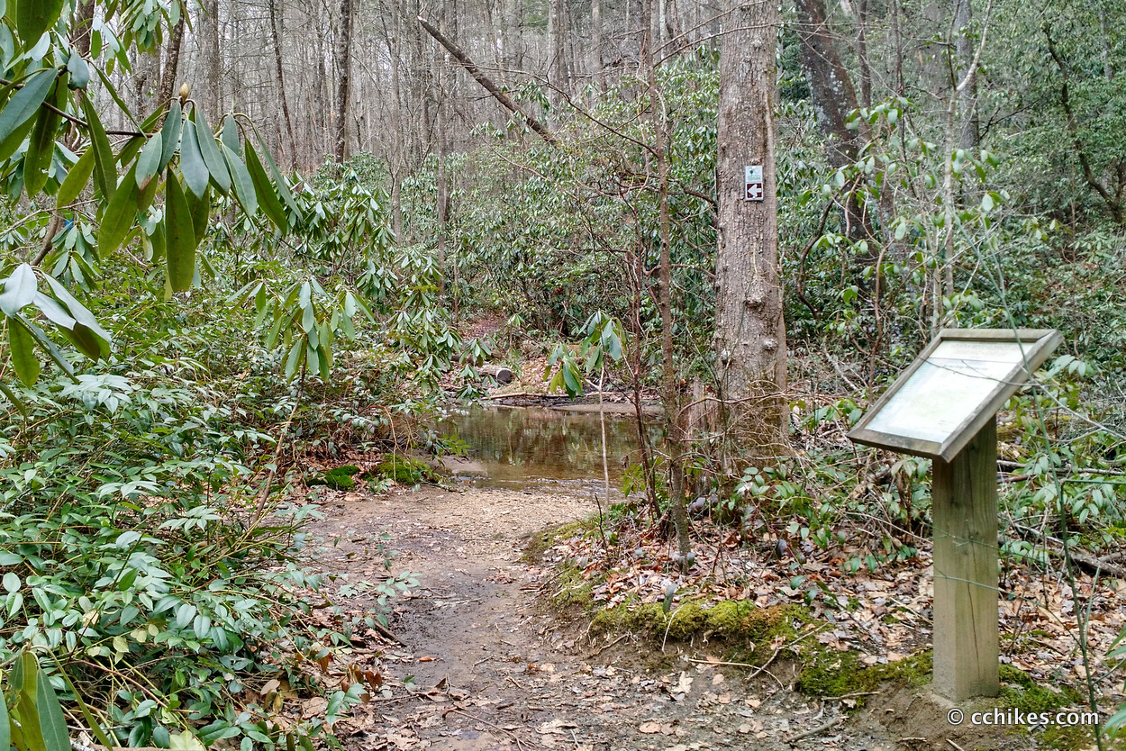
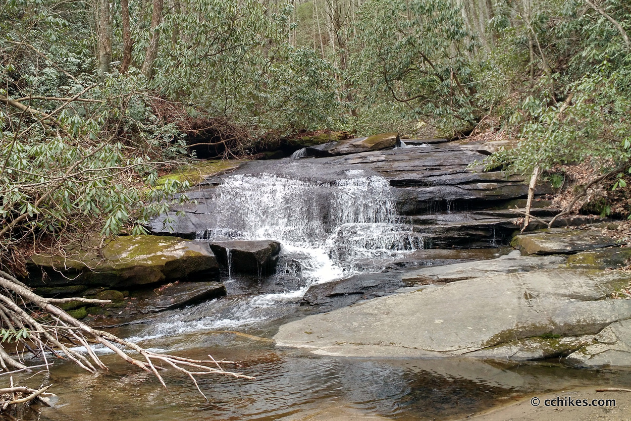
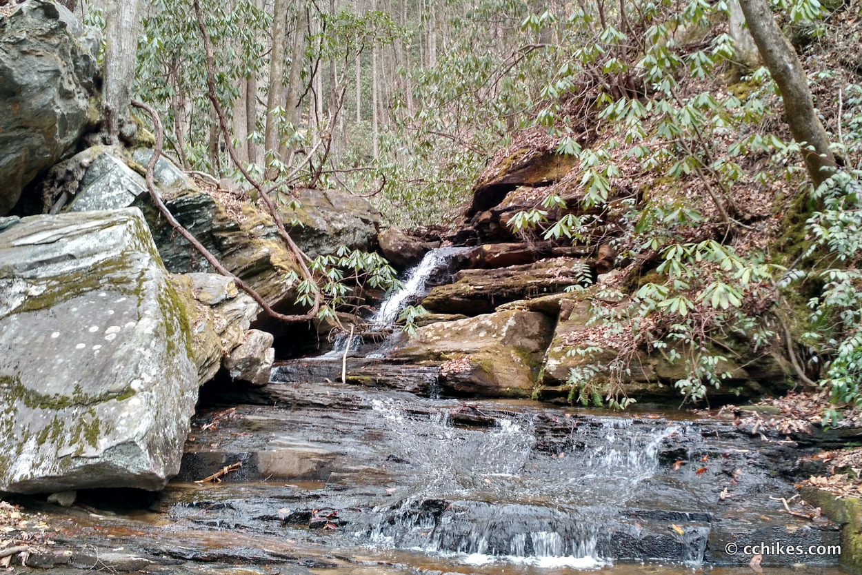
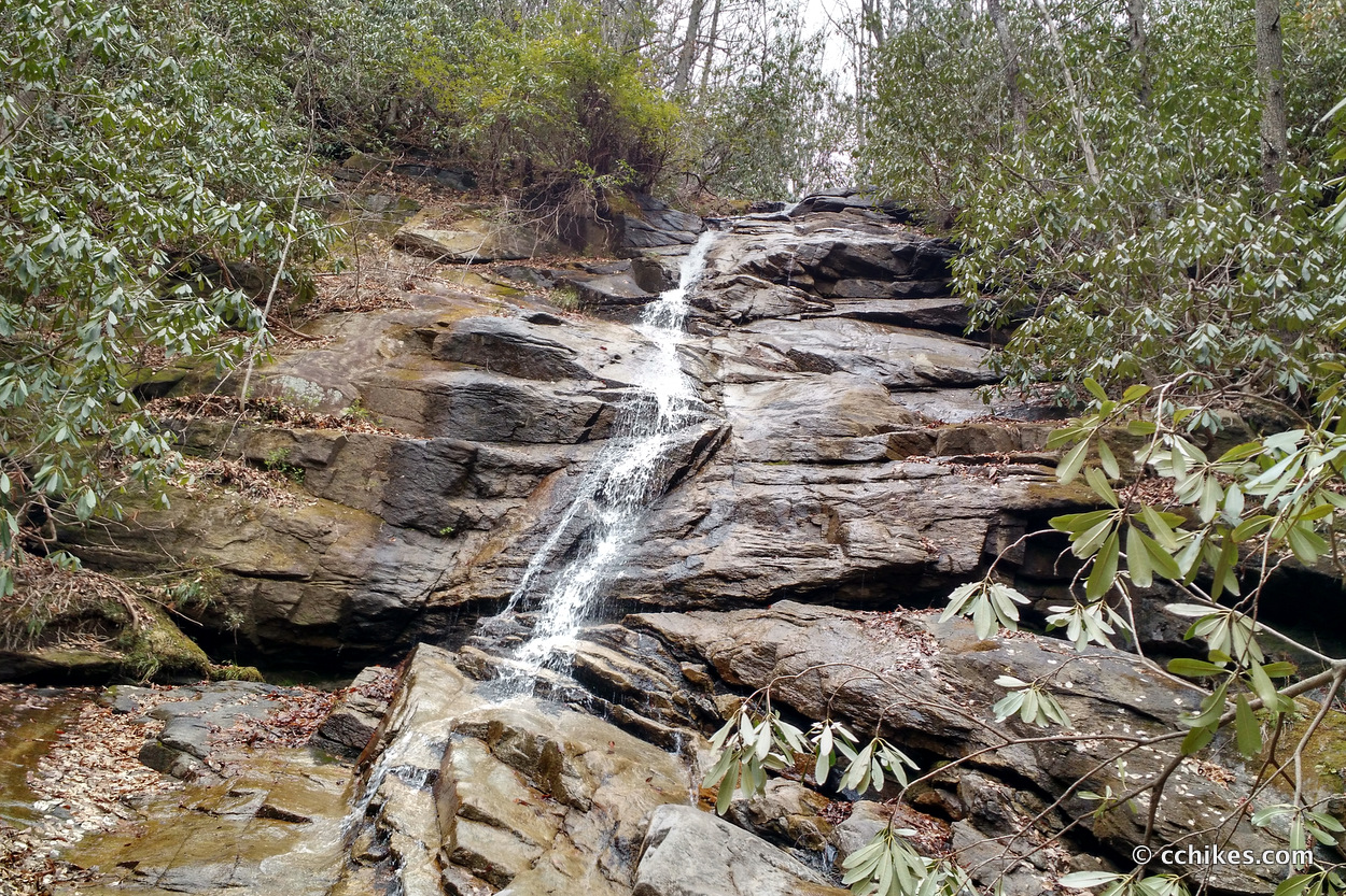
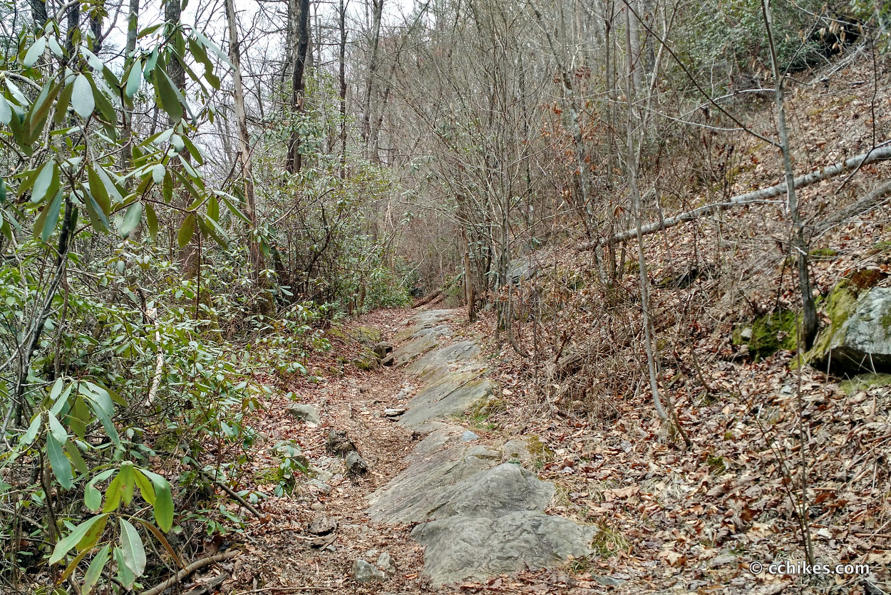
I took the Tom Miller Trail (2) to the Jones Gap Trail (1). The Jones Gap Trail is one of the easiest trails in the Wilderness. It basically follows the river and descends gradually as you make your way toward Jones Gap State Park. I visited Jones Gap Falls. I didn’t go on to Rainbow Falls (4) because I didn’t want to add more backtracking (and I think it’s more fun to start that hike from Jones Gap State Park), but you could easily tack on that extra mile.
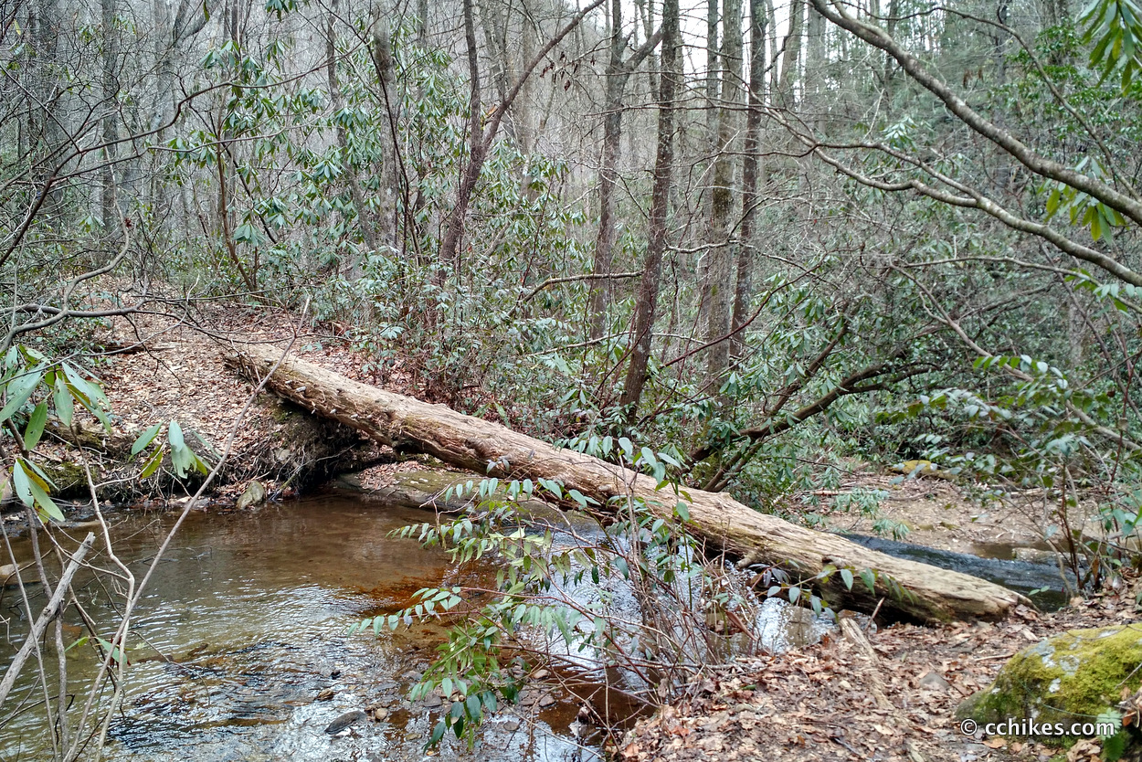
After that, I backtracked to the intersection of the Coldspring Branch Trail (3). Not far after turning onto Coldspring Branch, I turned onto the Bill Kimball Trail (5). This trail is where you buy back all of the elevation you’ve lost on the loop—and you buy it at a premium. You lost it over many miles, and you gain it back very quickly. You can stay on Coldspring Branch (3) and avoid this trail if you want, but it’s really pretty when you get around the bluffs. That said, taking Coldspring in lieu of Kimball will get your shoes wet unless it’s very dry out.
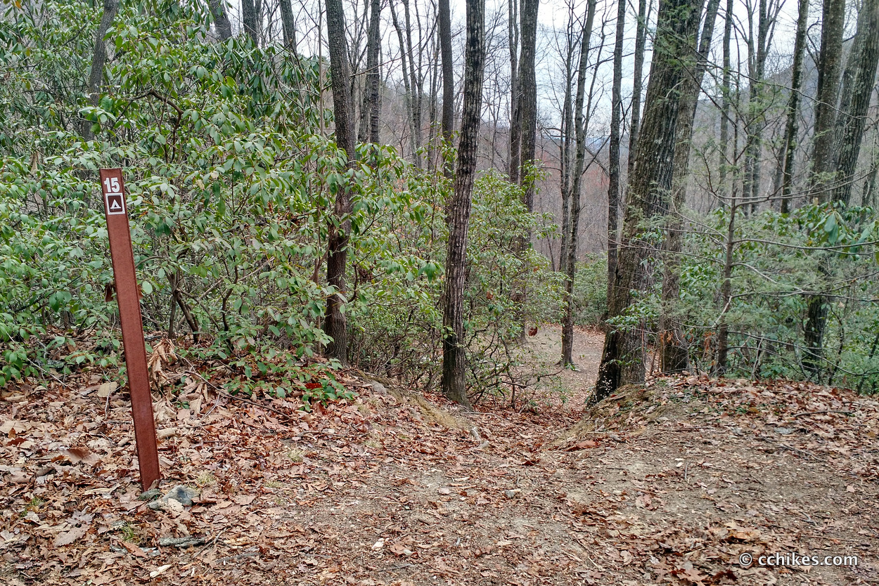
Bill Kimball (5) dead-ends back at Coldspring Branch (3) and you take Coldspring back to the parking lot. There’s ample signage at each trail intersection, so you really can’t get lost unless you don’t know where you are. I should add that there are campsites (that must be reserved) all along Jones Gap Trail, so this would make a great overnight hike. You could make it easy by going counter-clockwise and descending on Bill Kimball. That way, the more technical part of the hike is behind you.
Take a map and you can piece together loop hikes of varying lengths. If you’re doing a section that involves elevation, I recommend taking trekking poles.
Navigate
More
Discover more North Carolina trails.
Discover more South Carolina trails.
Discover more loop hikes.
Discover more waterfalls.


Leave a Reply