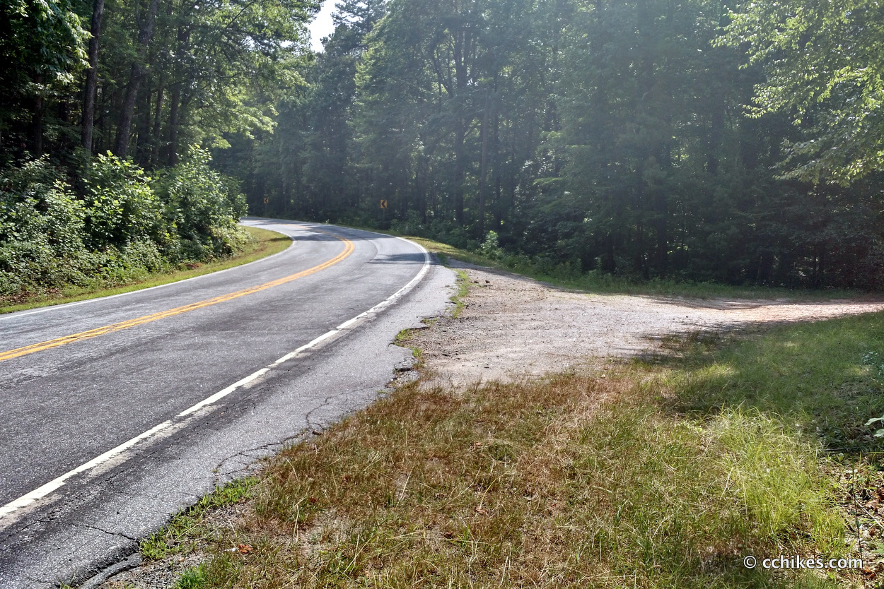
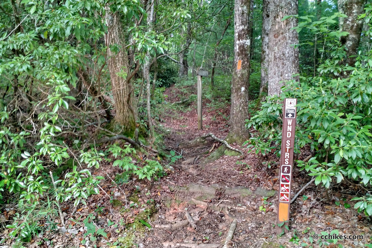
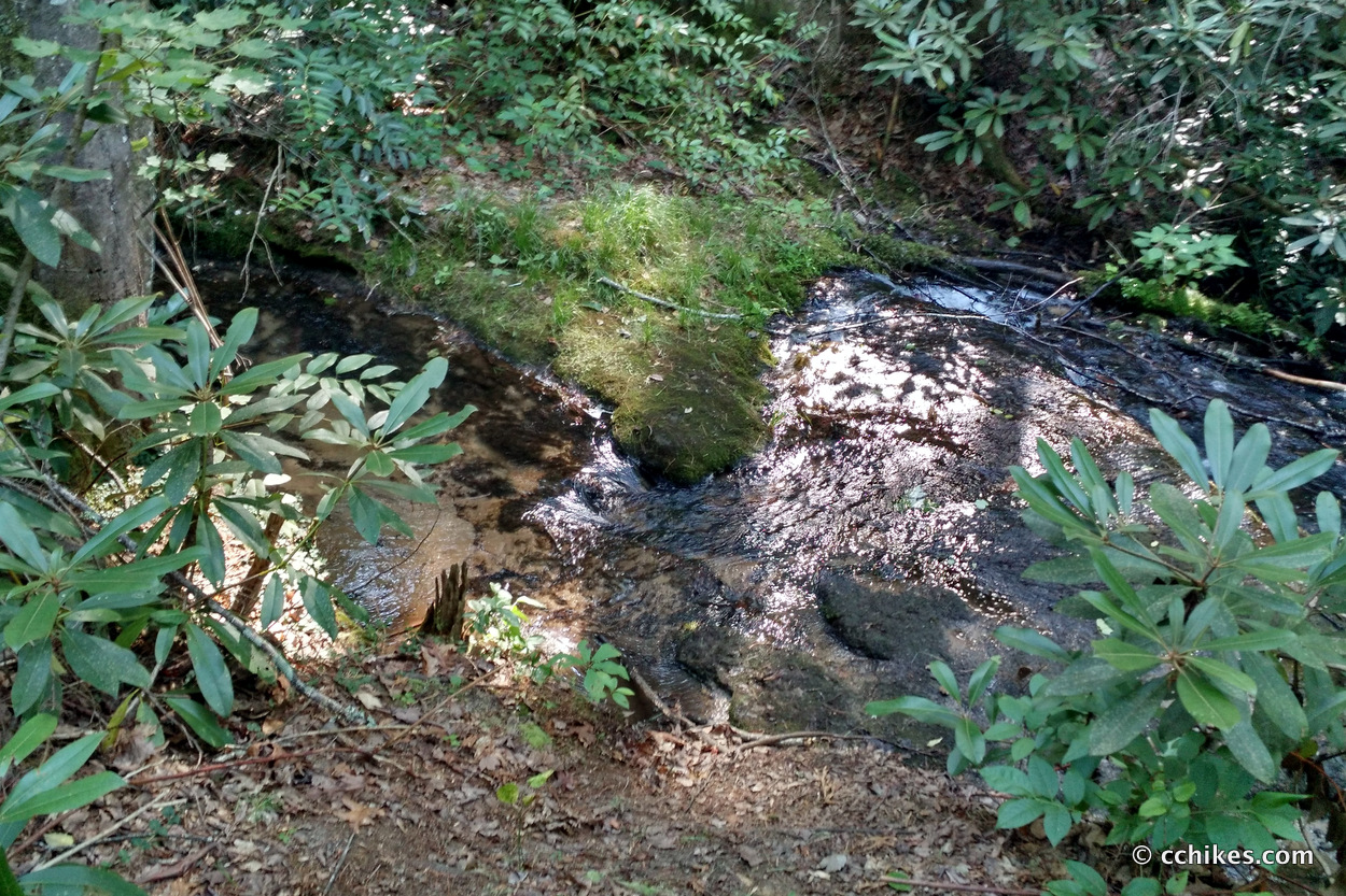
Winding Stairs Trail is a 3.5-mile hike of moderate difficulty in the Mountain Rest wilderness area near where GA, NC, and SC intersect. It’s very close to Cherry Hill Campground and Burrells Ford Campground. There’s actually a spur off the trail that takes you right into Cherry Hill. I parked at the Northern Terminus just off SC Highway 107. This is the same gravel pull-off you use to hike Big Bend Trail & Falls. The trail follows the West Fork of Townes Creek.
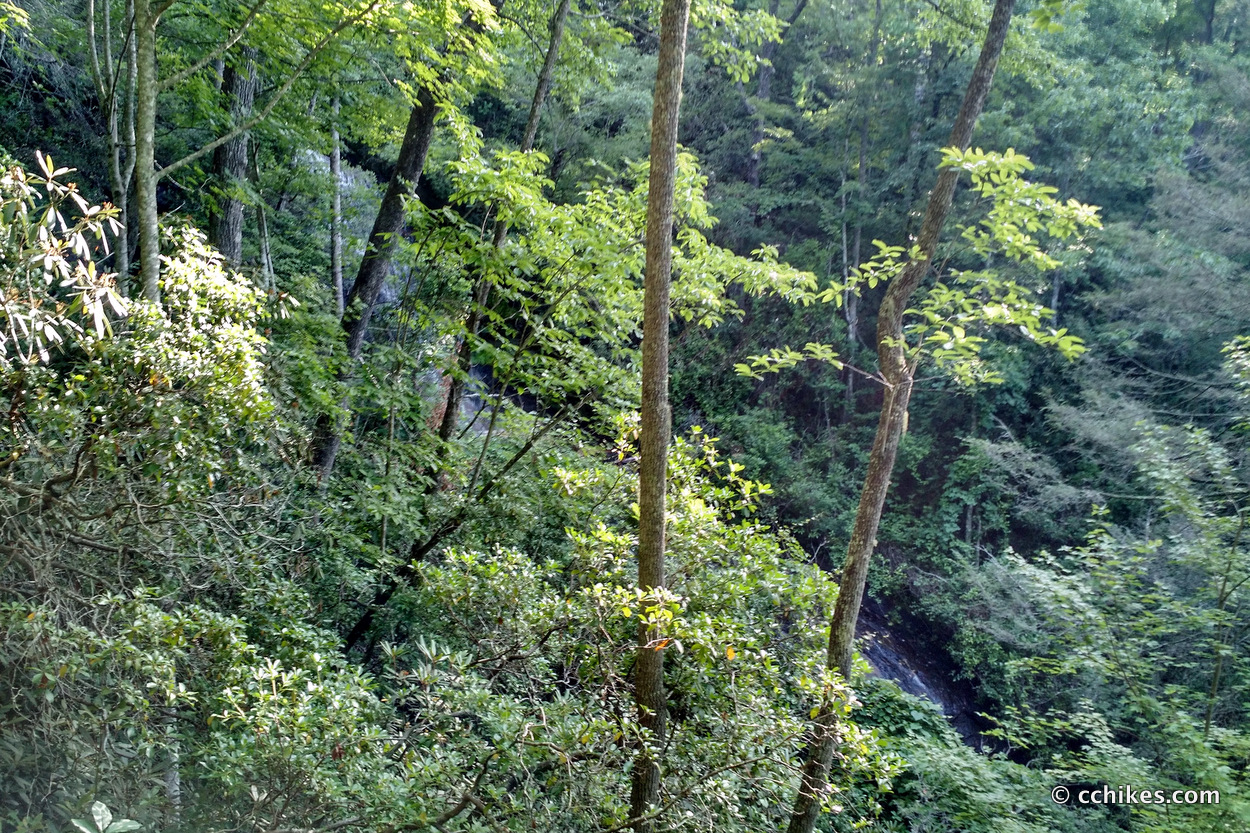
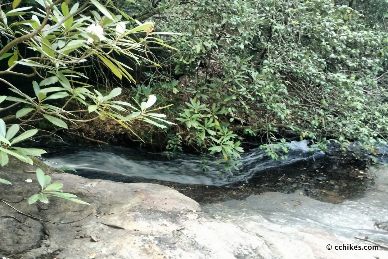
This is not a hike I would do again in the summer. It’s billed as featuring three waterfalls and thick oak canopies. There is a canopy alright, which is nice for shade in the warmer months, but you can’t really see any of the falls. Walking south (and downhill), you first hit Miuka Falls, which boasts a 75-foot cascade. The problem is that all you see are leaves. It reminds me of Hickey Fork Trail & Falls in the sense that it’s a lot of work for no real payoff. Plus, the falls aren’t really on-trail. You have to deduce that you should follow an unmarked spur based on the loudness of the water. The next two falls are underwhelming from the trail. The side trail for the third falls (Secret Falls?) is a very demanding downhill scramble.
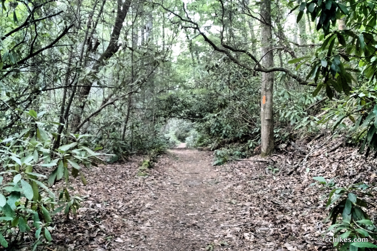
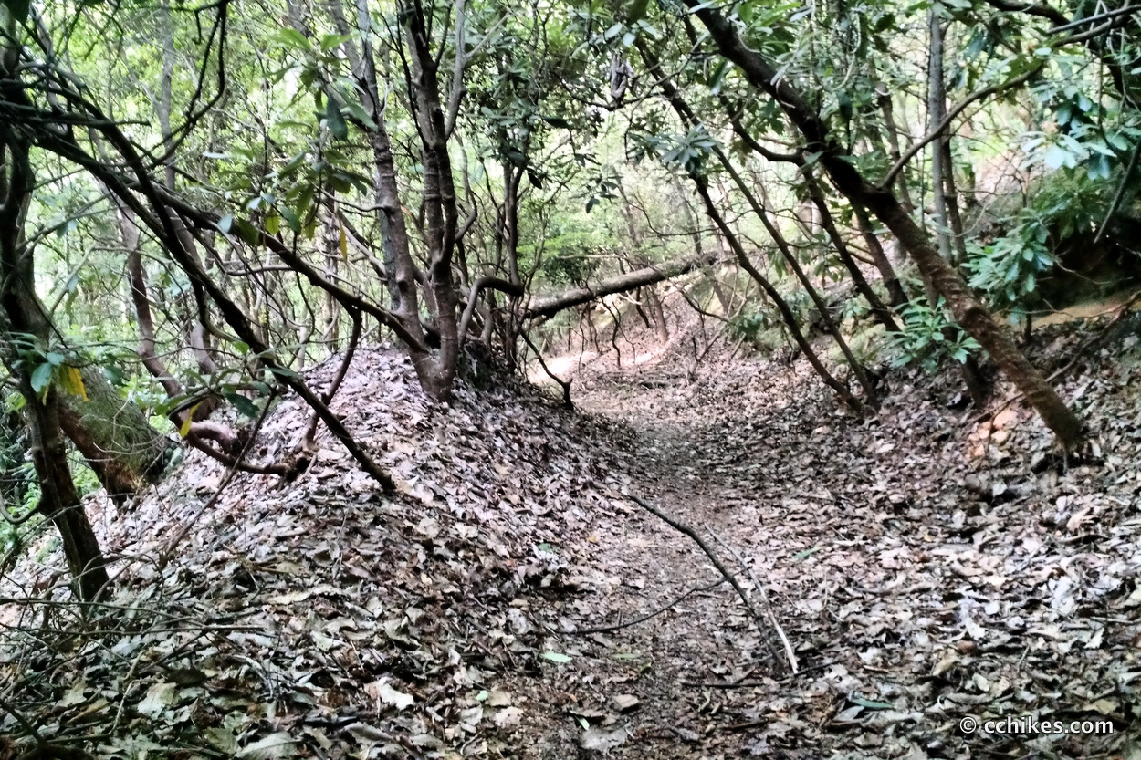
If you’re into hiking the green tunnel, then this is a pretty good place to go. Most of the hike is downhill if you start where I did, but there are switchbacks in areas where the climb would be strenuous. As an out-and-back, that means you’re walking uphill the entire way back to the car. You’re faced with over 1000 feet of climbing in around three miles (the half mile closest to the trailhead is pretty flat) from the bottom back to the top, so prepare to sweat.
I can think of better trails in the area that feature scenic falls and elevation. Glen Falls is just on the other side of Highlands, about 25 miles away. If I were to recommend this hike to someone, I would tell them to do it in the winter or early spring. The views would be better, the bugs would be minimal, and the humidity wouldn’t be nearly as bad. Maybe that’s why I didn’t see anyone else there in July. Plus, it would be easier to bushwhack your way to the base of the waterfalls and get some good pictures.
Of course, you could shuttle a car to the southern trailhead on Tommassee Road (FS 710) and walk downhill the whole way. That could be fun if you’re looking for a leisurely stroll, but it would be hard on your shins without trekking poles.
I learned about this trail from the book, Waterfall Hikes of Upstate South Carolina. If you’re planning to hike it, make sure you screenshot the driving directions. There is no cell service in the area. I recommend using trekking poles on this hike due to the elevation changes and dousing down with insect repellant before starting out. Oh, and make sure to fill up your water bottle at Moody Spring just up the road.


Moody Spring • C.C. Hikes
[…] This is near Big Bend Trail & Falls, King Creek Falls, and Winding Stairs Trail. […]