


Scroll down to get instructions about the loop.
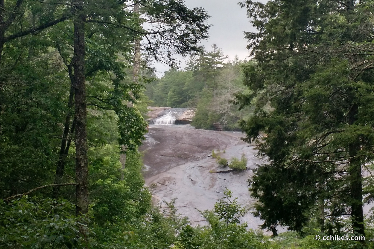
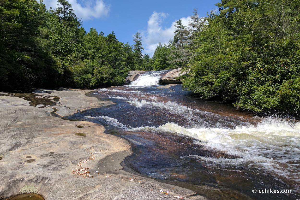
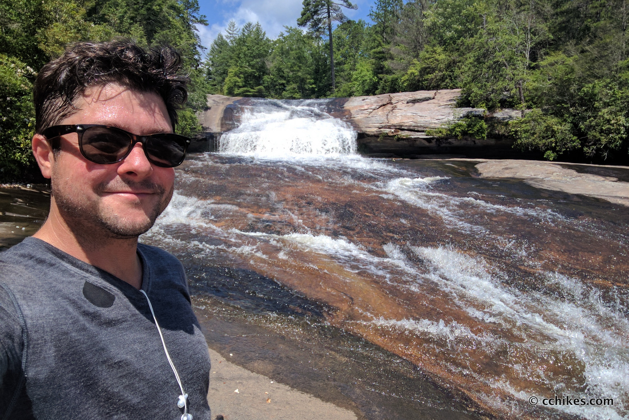
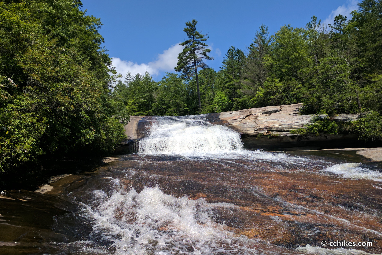
Bridal Veil Falls is a 120-foot waterfall in DuPont State Forest in North Carolina. This is the same area that boasts Hooker Falls, Triple Falls, and Wintergreen Falls. The area is great for hiking, mountain biking, horseback riding, and swimming. As a matter of fact, this area is the setting for the games in the first Hunger Games movie. This is not to be confused with the other Bridal Veil Falls, which is a fun little waterfall on Highway 64 near Highlands, NC.
The entire area was donated by DuPont USA for use as a recreational area. Most of the trails are old, gravel logging roads. There is very little cell reception, so screenshot the directions. There are several ways to access the falls. I wanted to do around 5 miles, so I chose the route from Fawn Lake Access.
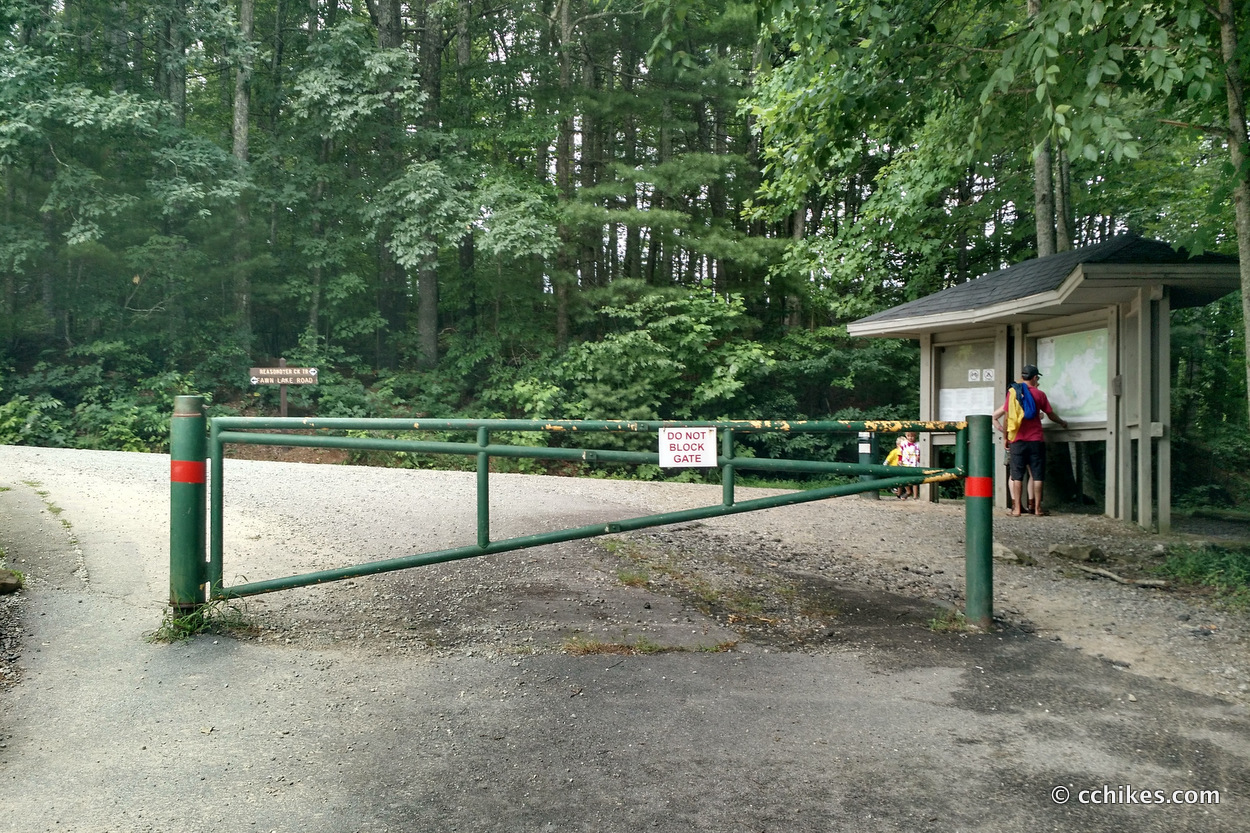
Park at the Fawn Lake Access Area. There is ample parking in the lot, but there are no public restrooms available.
About the hike
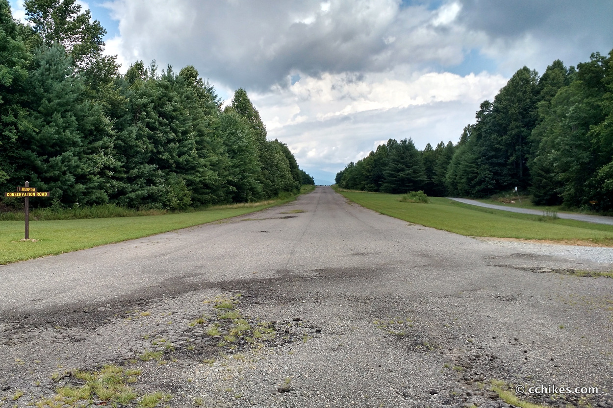
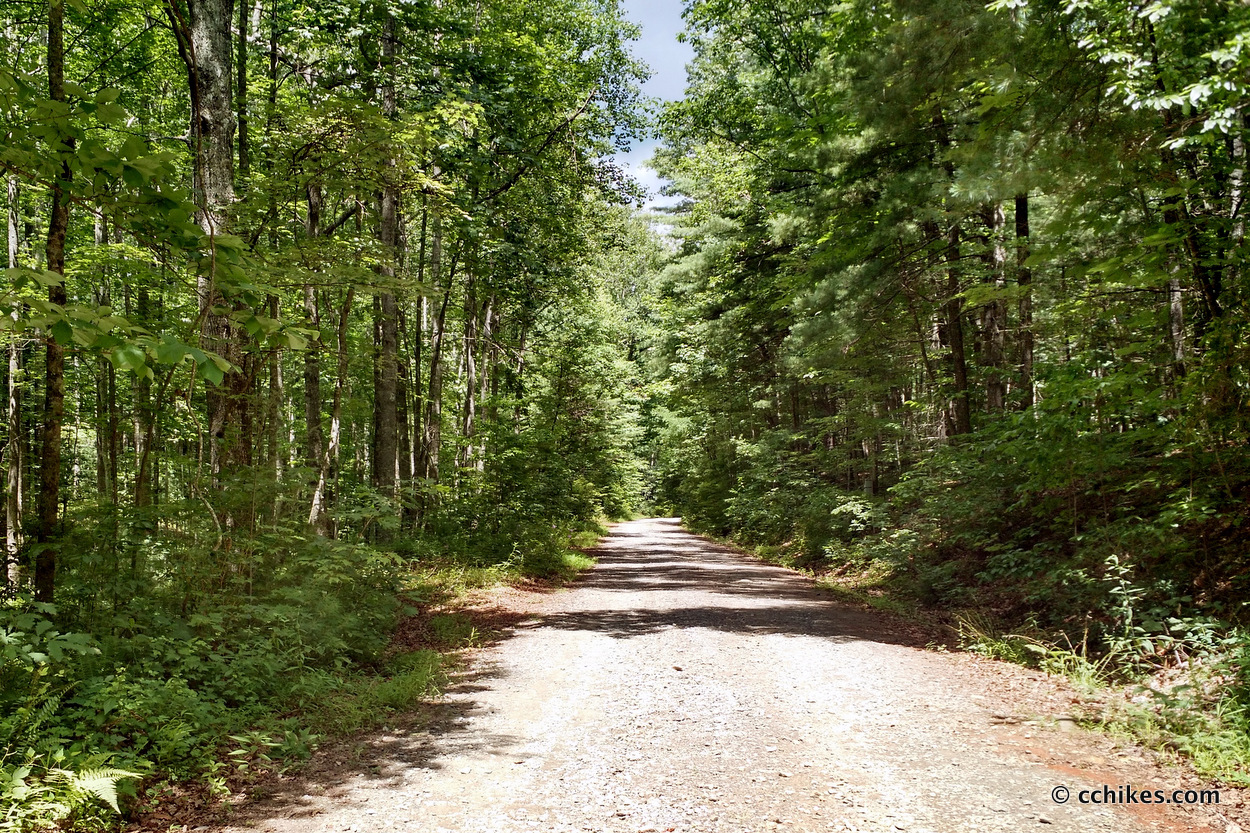
Walk around the gate and take a right onto the gravel road. Next, you’ll walk past some power lines and the road will soon intersect with Conservation Road. Turn left onto Conservation Road. You’ll walk a couple of miles on this road. It’s mostly level until you get to the airfield. Once you cross the runway, you’ll drop in elevation. This is the only challenging part of the hike and it’s not bad. Hike until you see a sign for Bridal Veil Falls Road and turn left.
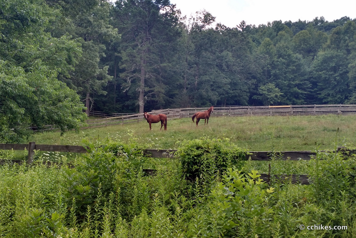
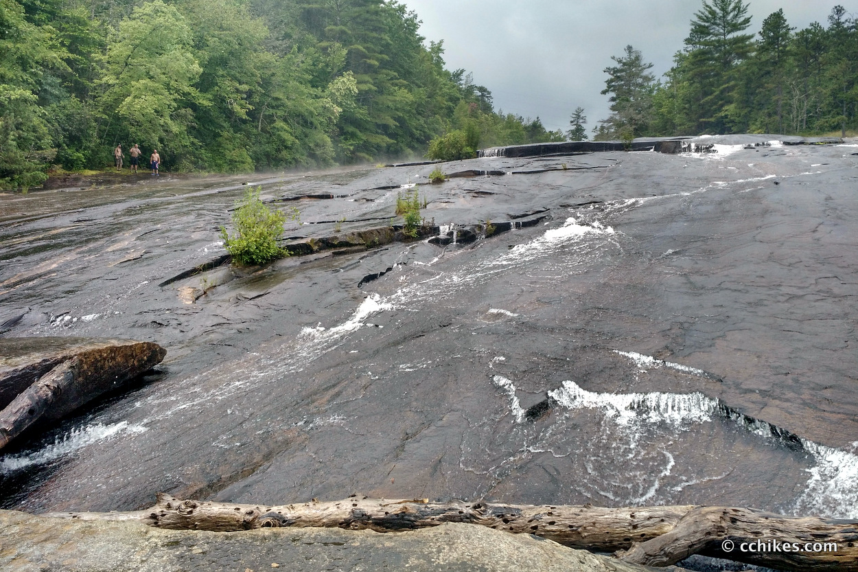
You’ll walk past some horse stables and the road will eventually end at a viewing platform for the falls. After that, the trail spits you out onto the rocks at the base of the falls. Despite the warning signs, people scramble all over the falls. When wet, the rocks are very slippery. Like Issaqueena Falls, Looking Glass Falls, and Schoolhouse Falls, there is a cave behind the cascade that you can access. It was used to film the famous “stay alive” scene in the film, The Last of the Mohicans.
I got caught in a summer storm on my way to the falls. I mostly waited it out under a tree in the woods, but I still got pretty soaked. I wanted to hike around the falls to the top to walk behind the cascade, but the mud and speeding runoff made that seem too dangerous considering that I can come back on a day when the weather is more predictable.
Impressions
All in all, this was an easy 5-mile hike. Knowing what I know now, I would have preferred to bike it. I’ll have to go back when it’s dry and not as crowded to get a better look at the area. Like I said, there are several ways to access the falls. I might try to hike a longer loop next time.
Turn this into a loop hike
I went back and made this a loop hike by using the directions below to get to the falls and then reversing the directions above to get back to the parking lot. It was a nice little stroll. Just know that the trails listed below are primarily used by mountain bikers. Technically, bikers are last in terms of right of way—it’s horseback riders first, hikers second, and mountain bikers last. But simple physics dictate that you’re better off not forcing the issue.
A more difficult hike can be made from the Fawn Lake Access Area by turning left on the Fawn Lake Loop 0.20 miles, left on Mine Mountain Trail 0.90 miles, left on Cart Trail 0.51 miles, left on Laurel Ridge Trail 0.33 miles and right on Corn Mill Shoals Trail 1.05 miles. Total = 2.99 miles.
Note that Fawn Lake Loop is the gravel road past the gate that runs above the parking lot. And I think Corn Mill Shoals is just called Shoals Trail on the signs.
Navigate
More
Discover more North Carolina trails.
Discover more waterfalls.
Discover more loop hikes.


Visit Bridal Veil Falls, a roadside attraction in North Carolina
[…] is not to be confused with the Bridal Veil Falls in DuPont State Forest, whose cascade was used to film the famous “stay alive” […]