

Read about my complete John Muir Trail experience, including prep, gear, logistics, and post-hike impressions.
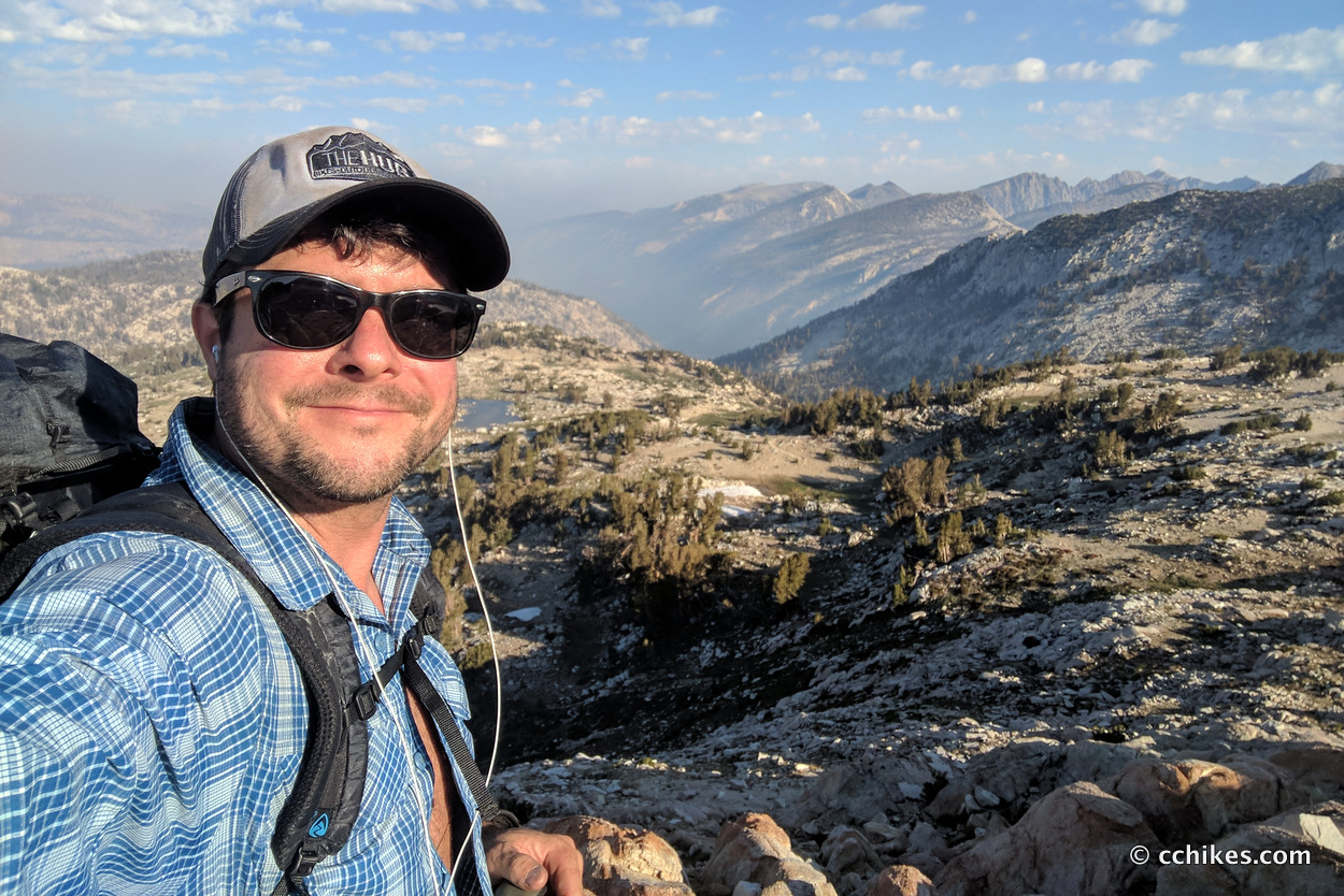
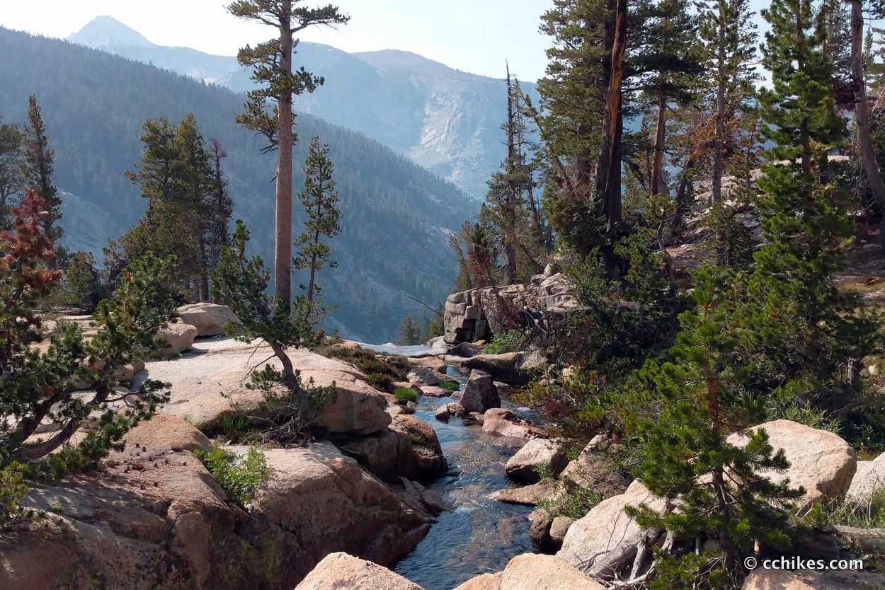
I woke up and climbed up and over Silver Pass, which was pretty spectacular. Once again, I was blown away as the way the lakes and meadow revealed themselves while I climbed up the craggy, granite mountains.
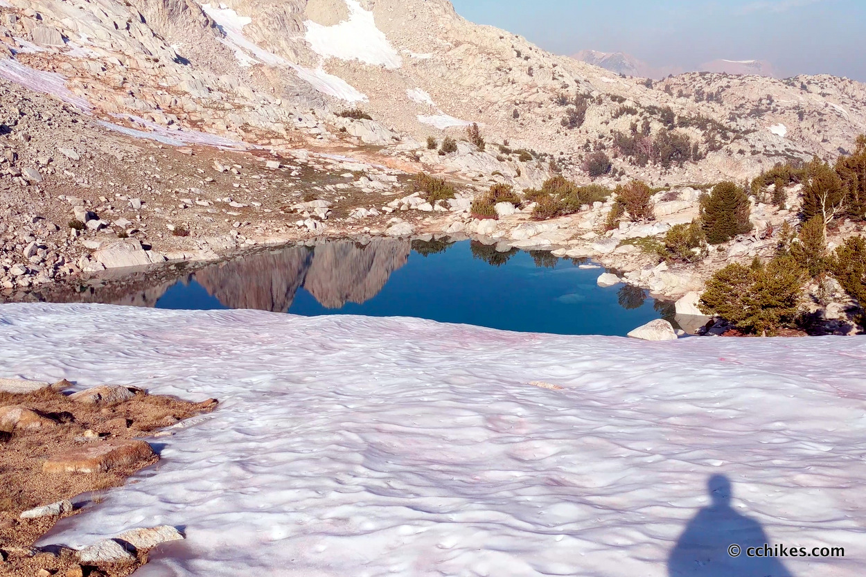
I think this was the first time I had to cross snow banks on my hike. Prior to this, I would work my way around the bulky, dangerous ice formations. The way back down the mountain was absolutely gorgeous. The trail gave up thousands of feet of elevation, all while following a cascading waterfall. I encountered sheer cliff faces all the way down, and it felt exhilarating.
I met several PCT thru-hikers at this point. They were all headed to Vermillion Valley Ranch (VVR) to shower, grab hot meals, and pick up their resupplies. They took the side route at the trail intersection and I crossed the footbridge. You know how I felt bad for the poor bastards climbing to Lake Virginia the day before? Well, I was faced with a climb that dwarfed that climb. It was positively excruciating. Fortunately, there was water along the climb.
I walked back and forth up this mountain for close to 2 hours, and I’m a pretty fast hiker. The climb featured several false summits that sucked the enthusiasm right out of me. It was a grueling climb. Thank goodness there was a trickle or water on one side of the mountain. I was able to get water several times without having to carry much in my pack.
I ran into a cluster of 20-somethings sitting near the top of the mountain. They were complaining that they ran out of water. I told them that there was a water source maybe 10 minutes back down the trail. They explained that no one wanted to walk back down to get it just to climb back up. I suggested that they play rock/paper/scissors to determine who goes to get it. That person could take several water bottles in an otherwise empty backpack and the weight wouldn’t be too bad. They stared at me as if I had suggested that they casually take up cannibalism. I left them to their misery.
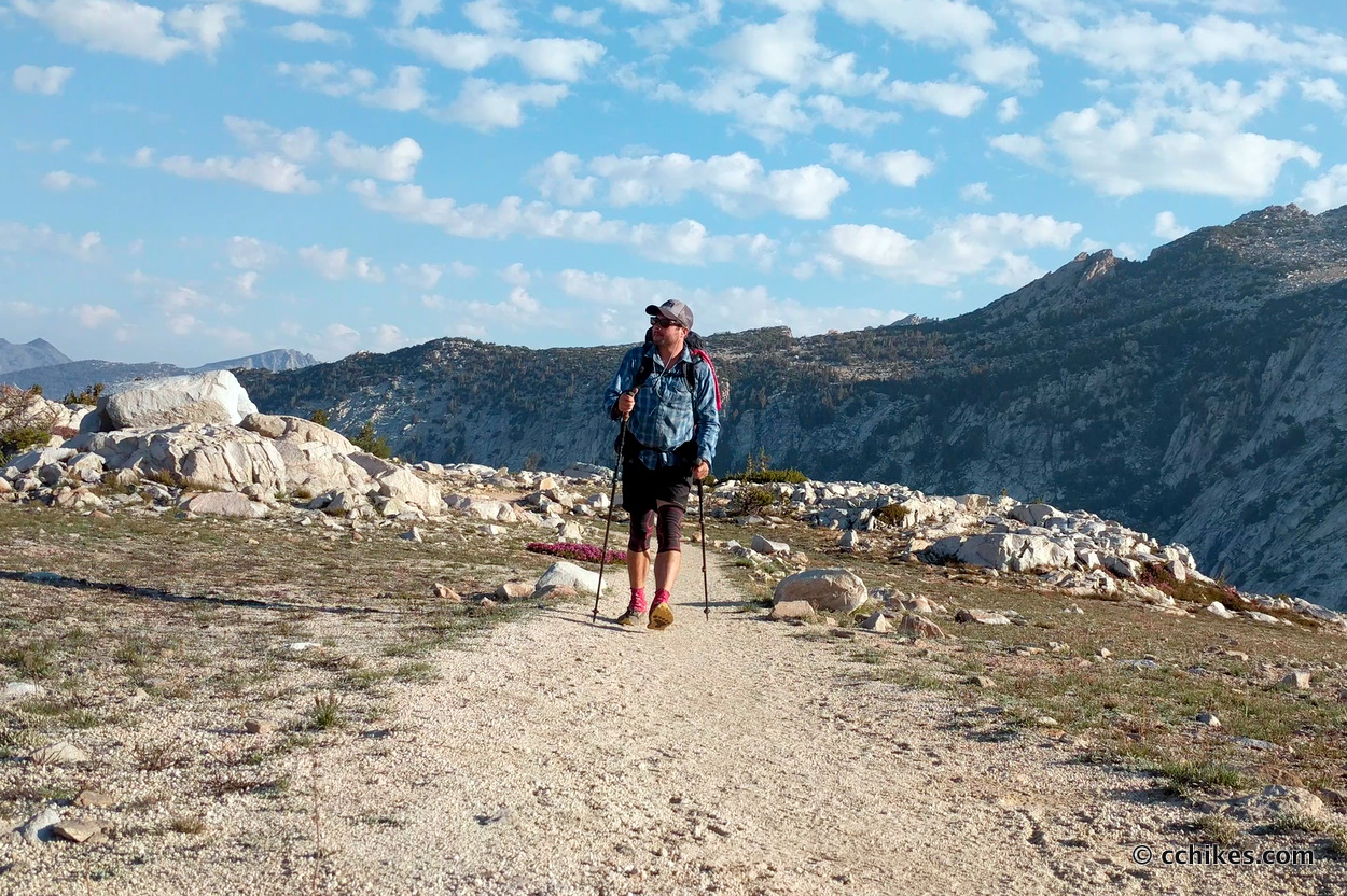
I finally reached the summit and welcomed the inevitable ridge walking. I started cranking out the miles as I made my way down the mountain. There are some campgrounds in this area and I passed a lot of section-hikers. Once on the other side of the mountain, I followed Bear Creek uphill for several miles. It was a gradual, easy climb. The sky started getting dark in the afternoon and I eventually realized that I should make camp if I wanted to stay dry.
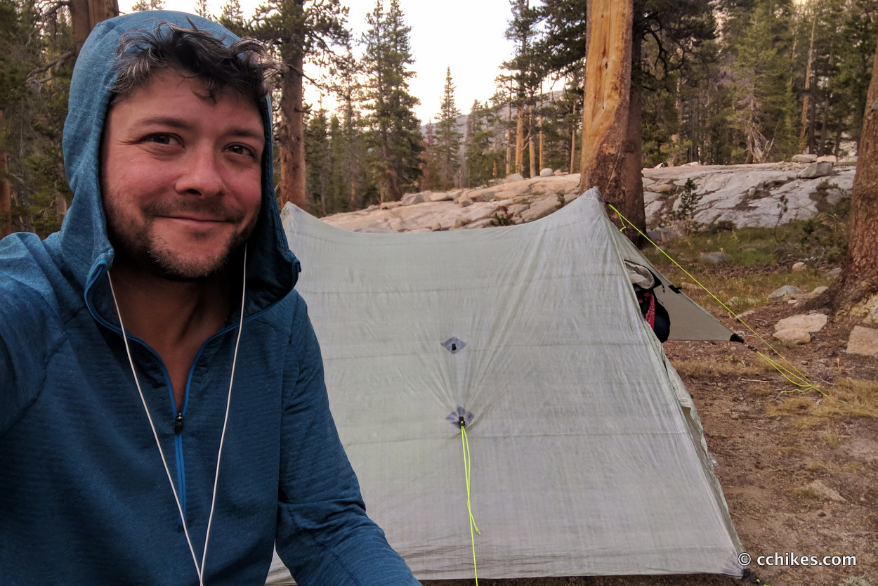
When the rain held off, I took advantage of my waterside campsite to bathe and wash my clothes for the first time of my hike. The rain held off completely and my clothes were all dry by the next morning.
This was the first time I crashed early and realized how exhausted I was. My mind was excited about approaching Muir Trail Ranch (MTR) the next day. As I mentioned before, I’m motivated by food. I had a 5-gallon bucket waiting for me at MTR. That excitement motivated me to keep walking. But when I decided I wouldn’t be walking anymore that day, my mind let my body relax and I was pulled into sleep.
It was early enough that I effectively napped for a while. I woke up, stretched my body through dusk, and finally ate dinner. I eventually crawled back into my tent and fell back to sleep.
Campsite
Watch the video
Follow in my virtual footsteps as I make the 200-mile journey from Tuolumne Meadows in Yosemite National Park to the Mt Whitney Portal. Watch the entire video or jump ahead to specific days. You can find more information to help you plan your own JMT hike at cchikes.com/JMT17.


Leave a Reply