
Walls Of Jericho is a steeply walled river valley near Scottsboro, Alabama. I learned about it years ago, but I’m rarely in that area. I took the long way from Birmingham, Alabama back to Greenville, South Carolina after Christmas 2016 just to squeeze in some adventures. I barely fit in Walls Of Jericho after squeezing Mt. Cheaha, Noccalula Falls, and Little River Canyon into one of the shortest days of the year.
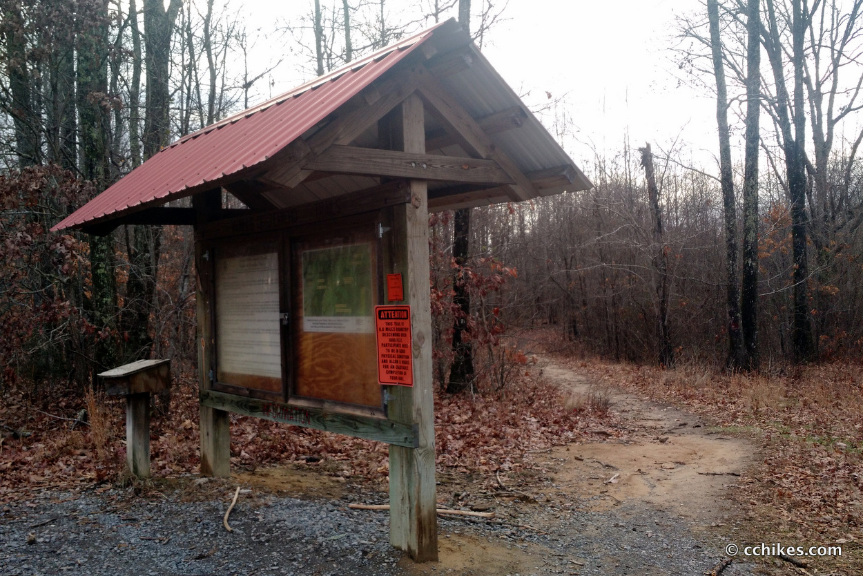
There are two distinct trail heads and parking lots for Walls Of Jericho. One is for horseback riders and the other is for hikers. Of course, you can hike the horse trail, but it will add considerable mileage to your hike. If the sign for the parking lot does not feature hikers, you are at the wrong trail head. If the trail takes you past a yellow gate, you are at the wrong trail head. Go a little further down the road (north toward Tennessee) and you will see the sign with the hiker icon. That is the proper trail head and the path is directly behind the sign. There is a port-o-let in the parking lot but no trash cans. It’s pack in/pack out.
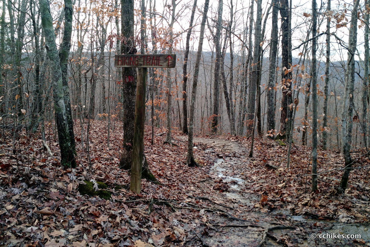
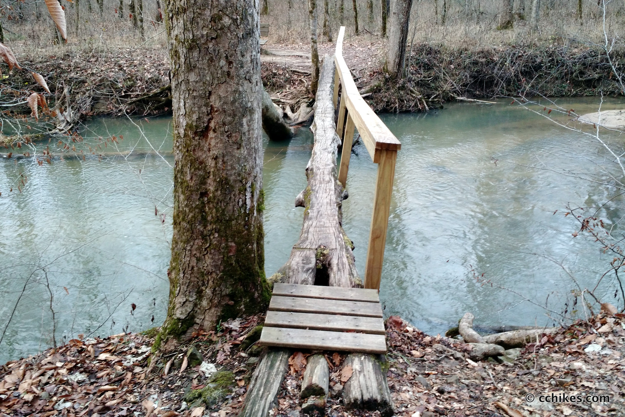
There’s not much to say about the hike. It’s 3+ miles down to and across the river and into the ravine. The elevation drops 1000 feet in the first two miles to the river. Then you hike uphill the whole way back. That makes this a strenuous 6+ miles of hiking. Other hikers thought I was crazy for starting at 3:30 p.m. After the mileage I had already done that day, maybe it was a little ambitious reckless.
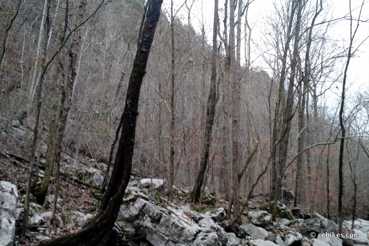
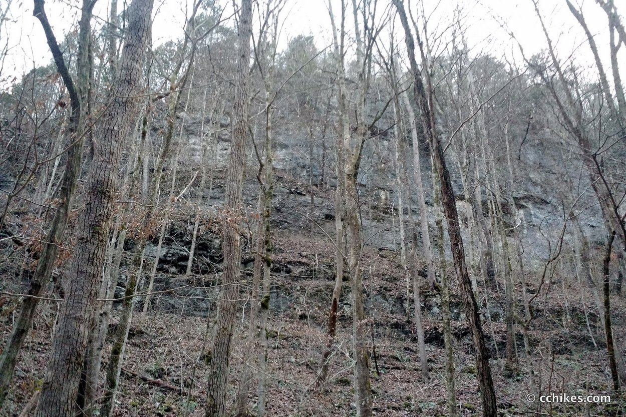
I basically flew down the trail to make sure I had enough sunlight to get some pictures of the towering cliffs. This is one of those instances where the pictures simply cannot accurately capture the scenery. Between the low light and the massive scope of the panorama, I was unable to convey the impressive nature of the location. I took a video, but it fails to reproduce the spectacle.
The area around the river features many primitive campsites. The ground is level and there are established sitting areas and stone fire rings. The campers I ran into relayed that the area is packed with overnighters on warmer weekends. Judging by the many cars in the parking lot and the relatively few hikers I ran into, there were more people camping than I encountered on the trail.
I was very concerned about losing the trail on the way back to the trailhead. The ground is rocky and the earth is slick with mud. As the sun dipped behind the mountain peaks, I donned my back-up headlamp that I keep in my daypack. It’s a 1 oz Petzl eLITE 26 Lumen Headlamp that is meant more for camp use than night hiking. I use a Black Diamond ReVolt 130 Lumen Rechargeable Headlamp for night hiking and even that is inadequate when it comes to negotiating uneven ground in the dark.
I believed that if I could make it just above the rockiest part of the trail before the ambient light completely disappeared I’d have a better chance of staying on the trail. My plan worked. By the time I was in complete darkness, I could barely make out the trodden path from the freshly fallen leaves. I was surprised when I popped out in front of my car because I was so focused on the ground directly in front of my feet. I stared for a long while trying to make sense of the gravel.
In retrospect, this was very dangerous. Had it not been unseasonably warm, I probably wouldn’t have even tried it. As it was, I rolled the dice and managed to cap the day with yet another incredible view. The cost was that I didn’t get to really enjoy it. I plan to go back and spend a day there in the spring. Maybe I’ll combine it with a trip to the Sipsey Wilderness in northwest Alabama.
I will say that I’m proud of my strength and endurance. I crushed the 6+ mile hike with over 2000 feet of elevation changes in a mere 115 minutes. When you factor in my idle time spent talking with others and taking pictures of the area, that means I was moving at close to 4 miles per hour. That’s my treadmill speed. To manage that on the way back out of the canyon in the dark is impressive. Dumb, but impressive.
I rewarded myself with a large hamburger in Chattanooga before crashing at a friend’s house in Dalton, Georgia. The next morning, I hiked around Amicalola Falls on the approach to the Appalachian Trail.
Note on the mileage
I’m not sure of the mileage here. Most sources pegged this loop at 6 miles. My body told me it was 7 or more. My Fitbit measured it at closer to 8 but it’s not accurate when I’m doing elevation. If I had to guess, I’d say this loop is closer to 7 miles. I’ll map it one-way the next time I’m there.


Leave a Reply