


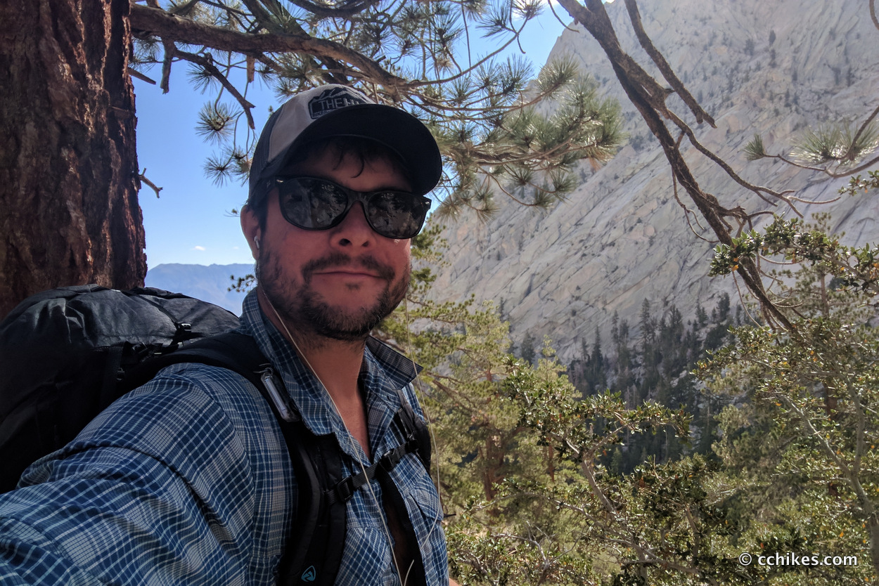


Read about my complete John Muir Trail experience, including prep, gear, logistics, and post-hike impressions.
I had been told by some NOBOs that I should plan to wake up around 4:00 am if I wanted to summit Mt Whitney in time to watch the sunrise. I’m a pretty fast hiker, so that time made sense to me considering the low mileage. Other hikers who go slower and do fewer miles than me had picked all the low-hanging fruit in terms of campsites the night before. That forced me to camp at a site practically on the John Muir Trail (JMT) toward the Mt Whitney Summit Trail junction. I was okay with that since it meant I had a shorter hike to the summit the next morning.
At around 2:30 am, a train of headlamps passed right by my tent. They weren’t quiet. I had visions of a drunken wedding party doing the bunny hop on the trail. They must all have been surprised to see me there, since they shone their LED lights directly into my tent one after the other. I lay there stewing in rage while 2 more groups passed by my tent in the wee hours of the morning.
This was my highest elevation camp on the whole JMT. There was also a layer of hail on the ground. So not only was it cold because of the elevation, but the wind was blowing over ice. It’s an understatement to say that I desperately wanted to remain tucked inside my sleeping quilt until my alarm sounded at 4:00 am.
I finally realized that I wouldn’t be able to fall back to sleep, so I broke camp and started climbing toward the summit of Mt Whitney. I got moving an hour earlier than I planned and I’m glad that I did. If I had waited until 4:00 am to get started, I would have missed it. So a big thanks goes out to the loud group that initially woke me up.
The climb wasn’t that tough from a strength standpoint. It was mostly challenging from a cardiovascular standpoint. It’s challenging to breathe in sub-freezing air anyway. Add in the thin oxygen at high altitude, and I was struggling on the way up. I climbed in bursts and then recovered. This seemed to be the norm as everyone adjusted to the altitude.
That said, I’m pretty sure I passed everyone who woke me up that morning on my way up the mountain. But I had to make a point to breathe evenly to maintain a reasonable pace. Anytime I held my breath for even a second, I became a little lightheaded and disoriented. I didn’t want to abuse my inhaler, so I took it safe and easy.
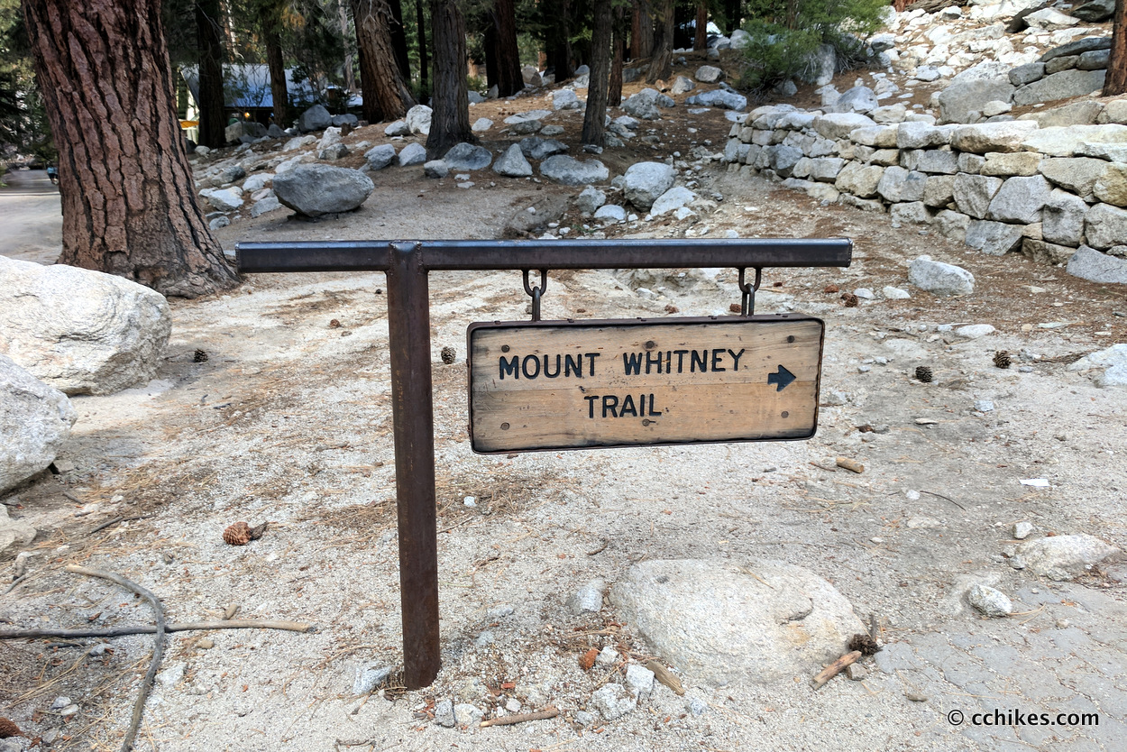
At a certain point, the JMT passes over the base of the summit and starts to descend to the Mt Whitney Portal. You have to take a nearly 2-mile side trail to the actual summit. Most people dumped their hefty backpacks to make for an easy final ascent. I had already shed some layers because of my body heat. I dropped my pack and figured I’d carry my puffy jacket for when I sat down at the summit. But I also needed by wool cap and a water bottle. And maybe my windbreaker. After a moment’s consideration, my arms were full of gear and I didn’t have a free hand to hold a trekking pole.
I thought to myself, “I wish I had a small bag to carry all of this stuff.” It took an embarrassingly long time to realize that’s exactly what my backpack was for. I was tired. So I put everything back in its place, strapped my pack back on, and started toward the summit.
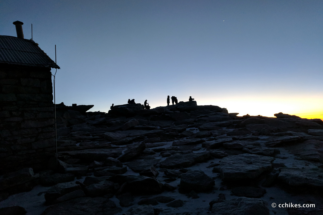
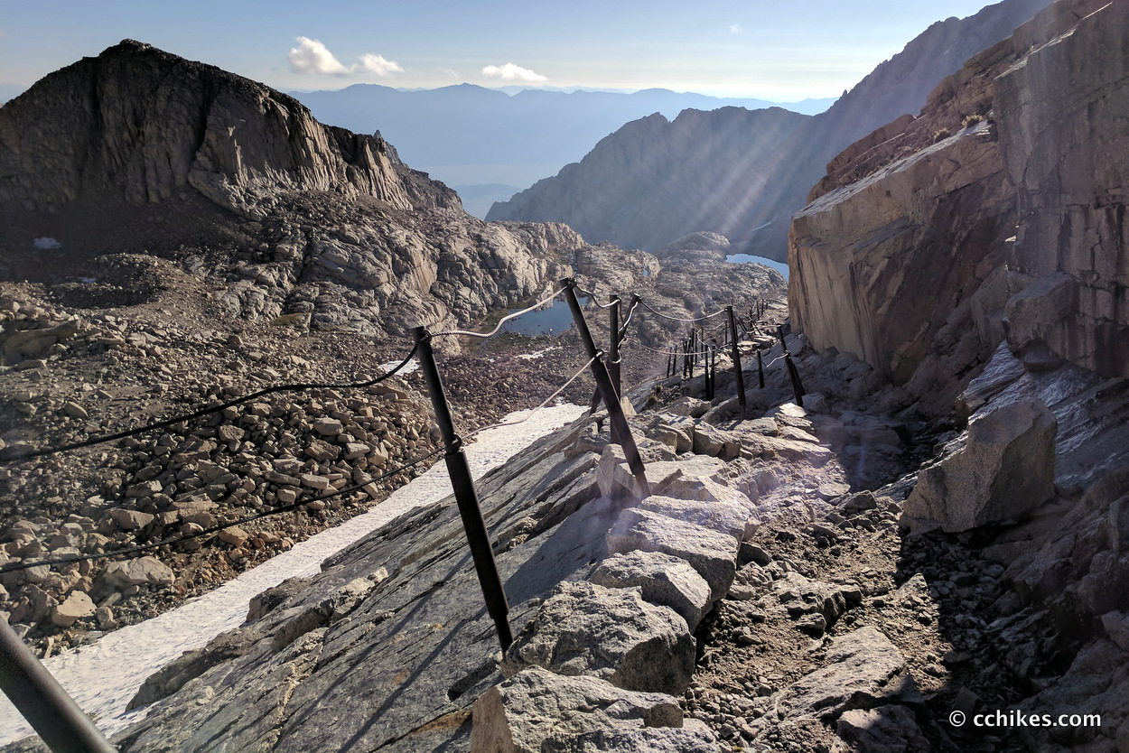
The trail was icy and covered in boulders. It was fairly easy to lose the pathway in the dim light at times. It was so dark that I couldn’t see beyond the edge of the trail. The drop-offs could have been 10 feet or 10,000 for all I knew. I realized later that an alarming number of them were sheer cliff faces.
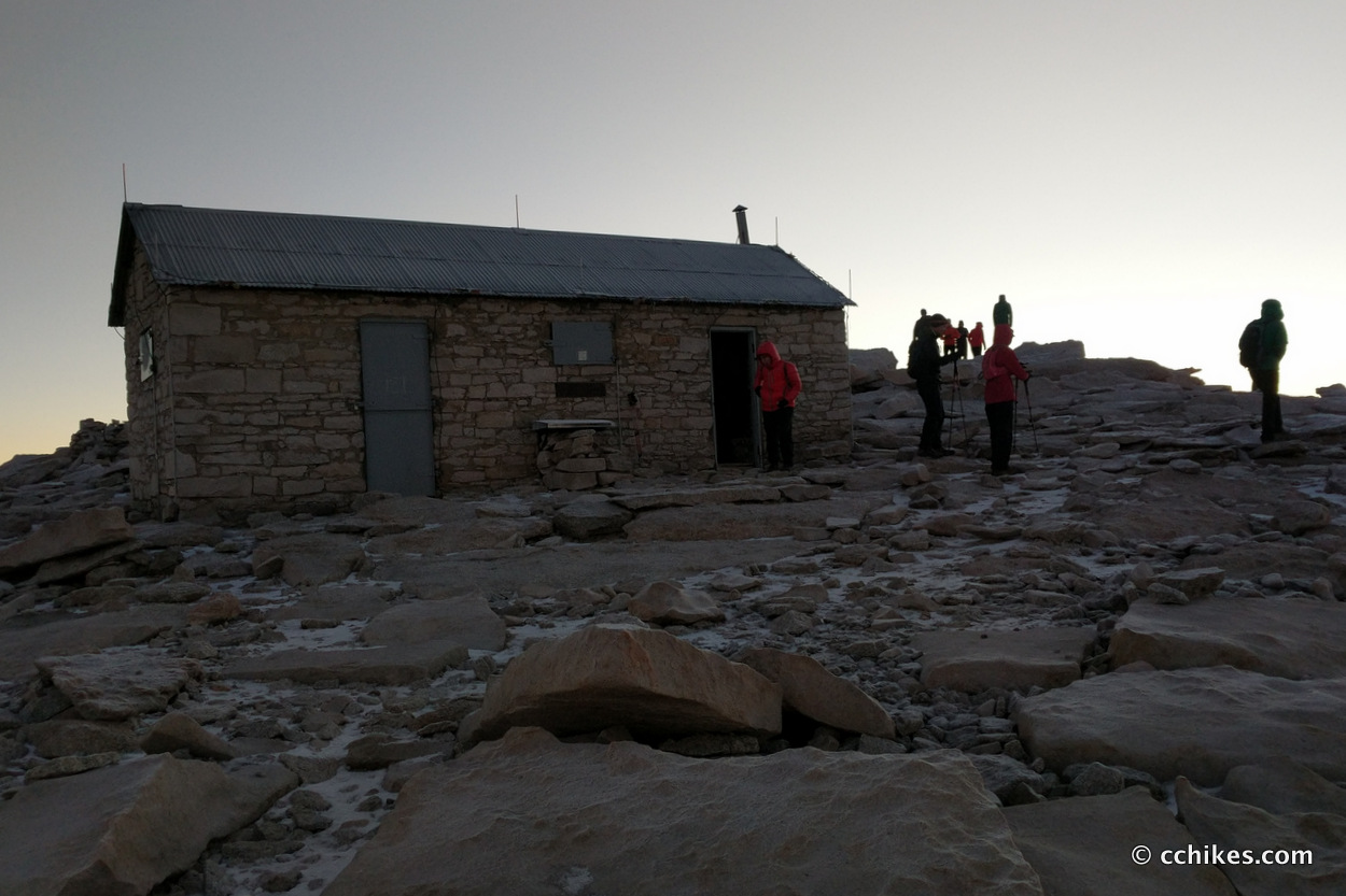
I finally spied the survey hut and realized I was at the summit. It was very cold. People were laughing out loud when they saw that I was wearing shorts, but I didn’t mind. I knew I’d be hot as soon as the sun was up and I started walking downhill. I have a layering system that works, and it doesn’t involve pants when I’m active.
There was an unreliable cell signal on top of the mountain. It seemed to be enough to let a thousand alerts through, but not enough for me to post anything online.
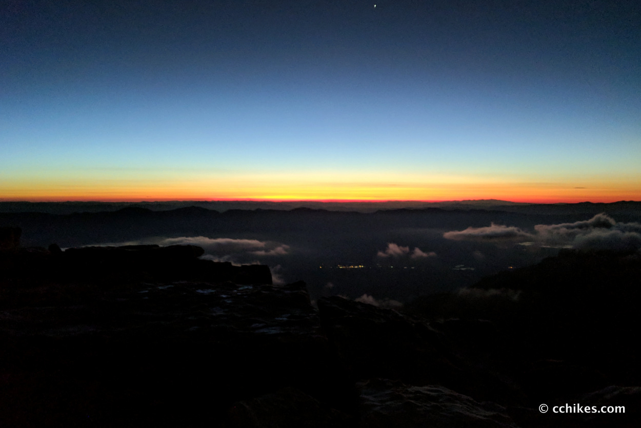
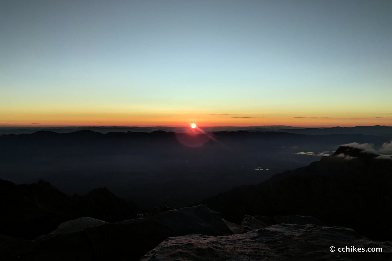
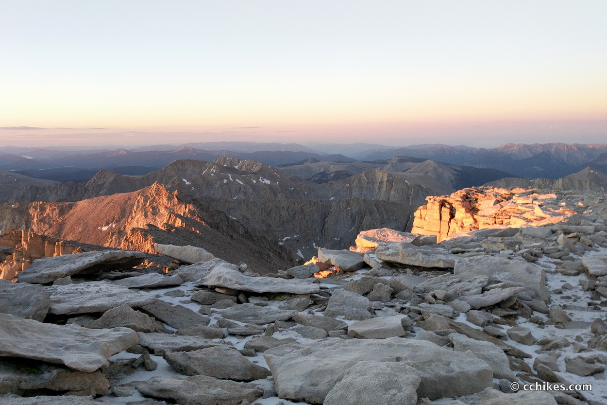
The sunrise was gorgeous. I had debated not doing the summit at all, much less a sunrise climb, but this was the right move. I will never forget it. There’s something special about standing above the clouds when the delicate, pink pastels start to stretch across the heavens. Colorful tendrils weave among and around everything in sight. Mists creep away as the sky takes on color and the stars begin to fade. You feel the warmth as the vibrant light grows.
I’ve experienced many sunrises and sunsets at elevation, but nothing in the southeast or anywhere else has even approached this experience. It’s something else entirely.
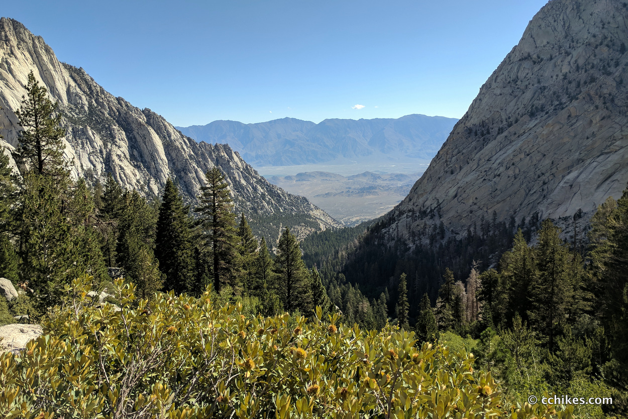
The JMT technically ends at the summit, but it’s not like you can ring a bellhop and have him carry your gear to the closest elevator. You have to backtrack almost 2 miles to the JMT intersection and then hike 8+ miles down to the Mt Whitney Portal.
The hike down the mountain is no joke. If you’re in any kind of pain, that pain will be exacerbated on the way down. My Achilles tendons flared more going down than they had going up.
I was shocked by the number of people who were doing the climb from the portal. Very few of them had overnight gear. That means they were doing 10+ miles straight up the mountain and turning around and doing 10+ miles back down in the same day. And most of these people did not appear to be in tip-top shape. I have so much respect for their efforts, but I wondered how many of them would need help before the day was over.
When I was maybe 3 miles above the portal, a ranger asked me for my permit for the first time on the whole JMT. I had carried the damn thing all the way from Tuolumne Meadows, so I didn’t mind putting it to use. She broke my heart when she informed me that the Whitney Portal Store no longer served hot food. The specter of a cheeseburger and fries had kept me going for days, and I don’t even like fries.
When I got to the bottom around 11:00 am, there was a pack scale for hikers heading up the mountain. I weighed my pack (without water but with food trash—including more than 1 pound of uneaten dinner from the night before) and it came to a little more than 15 pounds. On a weekend trip, that would have seemed heavy to me. But after dragging a full bear canister over so many mountains, it seemed very light. I guess context is key.
I stuck out my thumb and within 5 minutes had a ride. I hitchhiked with a couple from Minnesota to the small town of Lone Pine 12 miles away. They were kind enough to inform me of an all-you-can-eat pizza buffet and dropped me off right out front. Surprisingly, I think I ate more salad than pizza and used the cell signal to book 2 nights at a hotel directly across the street.
Within a few hours, I had eaten, showered, washed my clothes, and rinsed off my gear. I let everyone know that I was alive and had a newfound appreciation for everyday miracles like hot water on demand, cold beer on tap, and the magic of satellite television.
I continued to stretch each morning and night, but felt tight in my Achilles tendons and hamstrings for the next couple of days. Other than that, my body felt strong.
Navigate
Watch the video
Follow in my virtual footsteps as I make the 200-mile journey from Tuolumne Meadows in Yosemite National Park to the Mt Whitney Portal. Watch the entire video or jump ahead to specific days. You can find more information to help you plan your own JMT hike at cchikes.com/JMT17.


James Badham
Dude, you’re funny. You get bummed every time you have to cross water or go up a hill. Surely you looked at some topo maps before you left so you’d know what was coming before you got there. And you’re very fit, pulling 18-mile days, so no worries!