


Read about my complete John Muir Trail experience, including prep, gear, logistics, and post-hike impressions.
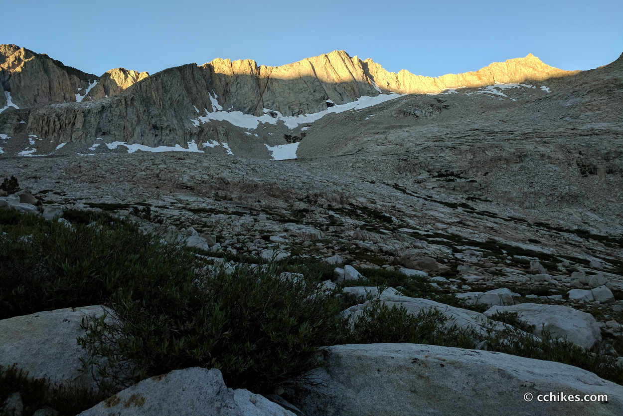
I woke up and cranked out the ascent toward Mather Pass. It was freezing on my side of the pass. Heading southbound, I always seemed to be on the shaded side of the mountains just after dawn. I could see the sun lighting the tops of the peaks, but I couldn’t get to that warmth until I summited. Then I usually swung from freezing to hot in the span of 5 minutes.
I was anxious to lighten my load. I failed to eat my lunch the day before, so I tucked my trekking poles under my left arm and ate some salami and cheese as I descended the sunny mountainside.
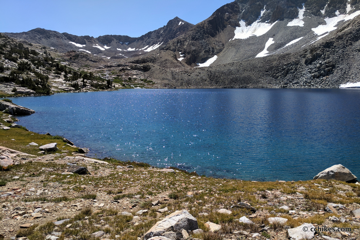
Doing 2 passes was unique to my trip so far. I knew where I was coming from and I could see where I was going. For the first time, I stood on top of a mountain just after dawn and said, “I’ll be just over there at sunset today.” There was stone behind me and stone ahead of me and a green valley between the two points.
It seemed so close, yet so far. I dreaded approaching the valley because I hated to give up my hard-earned elevation just to gain it right back. But that’s the game I signed up to play, isn’t it?
Eventually, I cleared the valley and started climbing Pinchot Pass. Pinchot was brutal. It was mile after mile of climbing a dusty granite staircase. My Achilles tendons hurt. My hamstrings hurt. The carbide tips on my trekking poles had eroded on the rocks and half of the plastic tip on my right pole had vanished completely. I was just plain tired and everything seemed to be going wrong.
I was in a bad mood. I had been in the wilderness for over a week and there was no reprieve. I had heard a rumor that there was a cell signal at the top of Pinchot, so I kept putting one foot in front of the other. When I reached the peak, there was no cell signal. Just more granite.
As usual, I decided to eat lunch at the summit. I swear I ascended the mountain alone. But not long after reaching the summit, I was surrounded by the largest crowd I ever saw on a mountaintop aside from Mt Whitney.
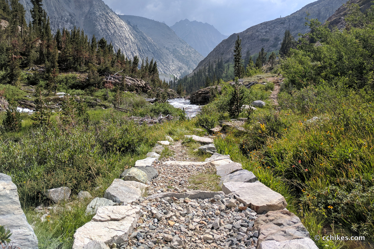
After the pass, I encountered around 8 miles of downhill walking. It wasn’t easy hiking. Much of the trail had been devastated by the record snowmelt. Trees were bent to the point of breaking. The trail was covered under granite boulders that rolled when you stepped on them. I found that I was tired and starting to roll my left ankle. That’s a big warning sign for me that I’m on autopilot and in danger of injuring myself.
I took a break while I filtered water and talked with a fellow JMT SOBO. She was resupplying at every opportunity, unlike me. She had recently resupplied at VVR and was looking forward to dropping by Onion Valley the next day. We traded some war stories and parted ways (I would see her on the summit of Glen Pass the next day).
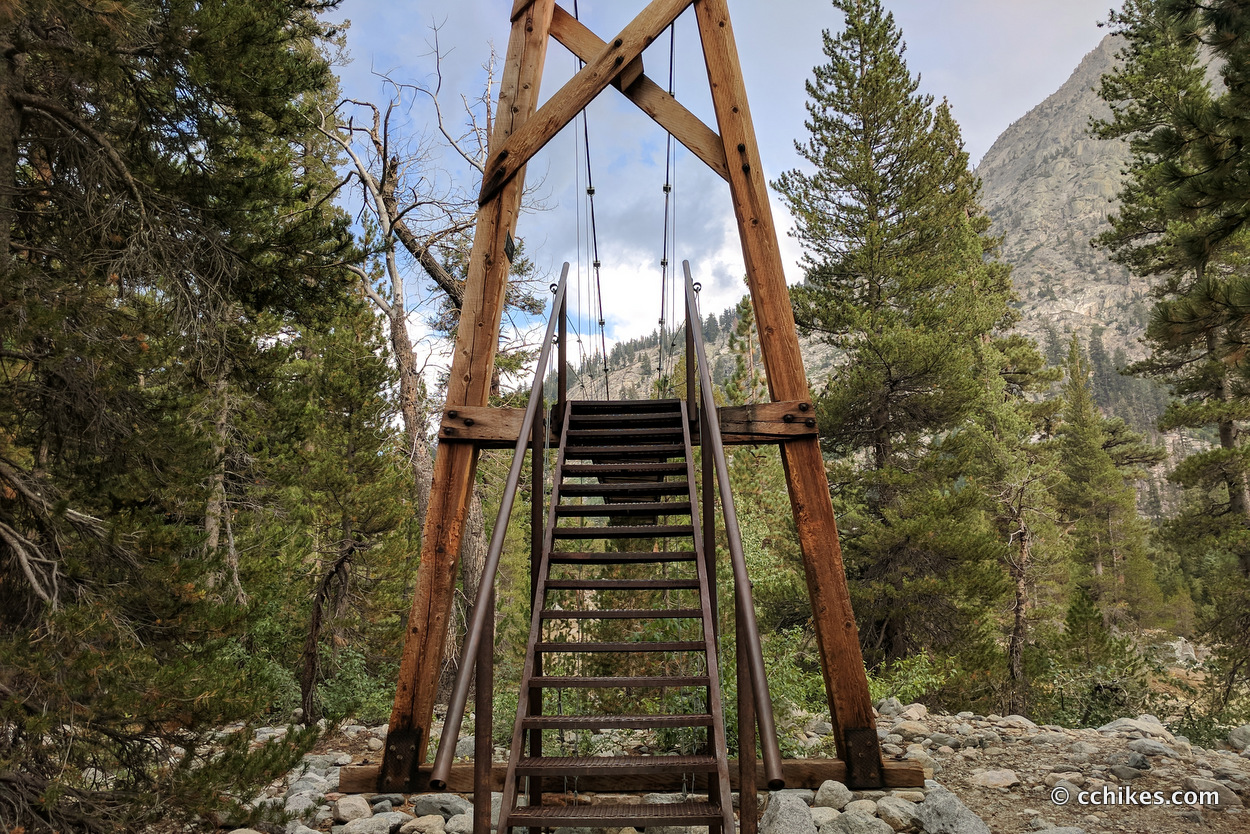
By the time I made it to the suspension bridge, I was beat. I decided to camp in the area and took the opportunity to bathe and wash my clothes for the second time. The water was very cold.
This was the first time I admitted to myself that I was ready to be done with my hike. I never thought of quitting; I just wanted to be finished already.
I was still moved by the majesty of the place, but the polish had rubbed off. I remember saying to myself, “when I wake up tomorrow, I’ll be able to say that there are only 2 days left!” Whatever keeps you going, I guess.
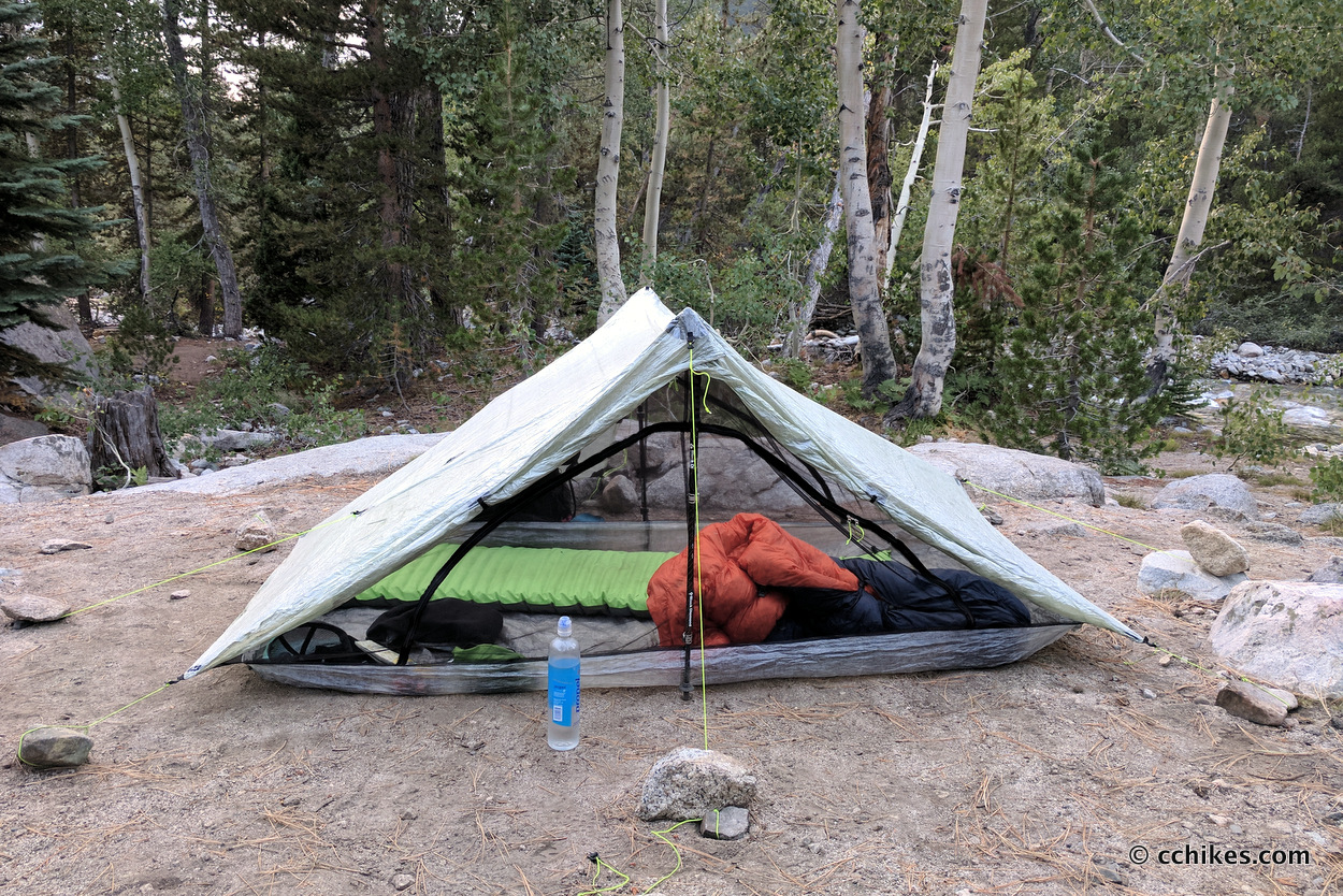
Campsite
Watch the video
Follow in my virtual footsteps as I make the 200-mile journey from Tuolumne Meadows in Yosemite National Park to the Mt Whitney Portal. Watch the entire video or jump ahead to specific days. You can find more information to help you plan your own JMT hike at cchikes.com/JMT17.


Leave a Reply