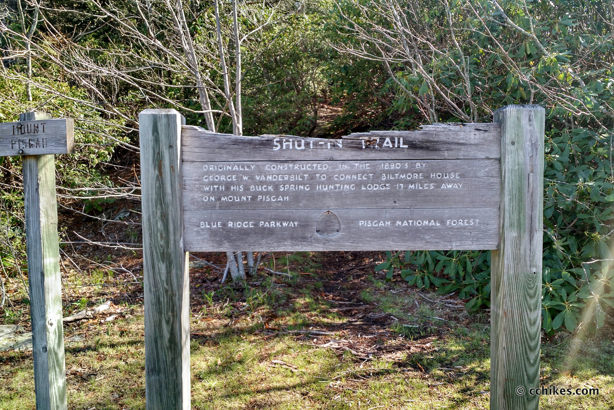


Mt Pisgah is a 5722-foot peak just off the Blue Ridge Parkway (mile marker 407.8) in North Carolina. The stretch of the Parkway between Highways 25 and 215 is very popular, but this particular area might be the most popular. It features an inn and campgrounds. There’s a restaurant and a general store and several restrooms that are open to the public. Between April and October, it can be hard to find a parking spot.
I’ve avoided this trail for years because of the crowds. It’s always seemed like less of a hike and more like a queue. But recent travels have opened up some free time for me, so I took a random Wednesday off work and headed to the mountains to do some of the more popular climbs.
There are several parking lots in the immediate area and finding the trailhead can be confusing. The map point below will take you to the correct place. You should have a cell signal if you’re on Verizon.
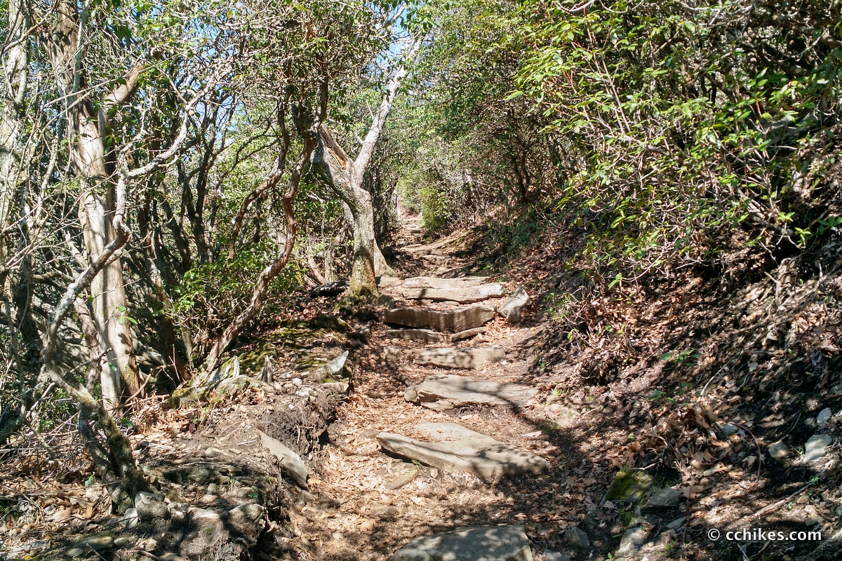
The trail is a 1.6-mile out-and-back, making it around 3 miles round trip. The first part of the trail is practically paved. Unless you’re in drought conditions, there will be water on the flat part of the trail. After that, it’s like walking an irregular stone staircase all the way up to the summit. I think you gain around 700 feet over the hike, so it’s moderately difficult if you’re in shape. If you’re not in shape (which describes most of the visitors in the busy season), it’s strenuous.
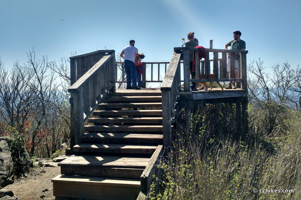
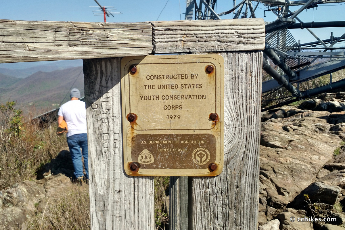
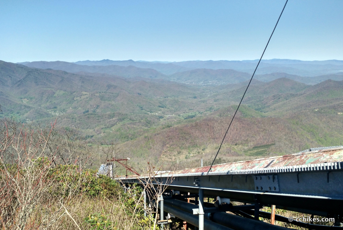
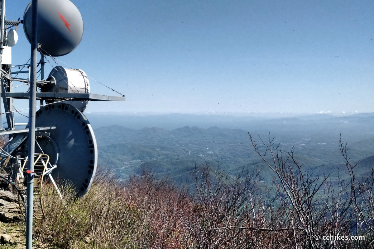
Once you reach the top, there’s an observation deck next to the cell tower. The view is beautiful, but I don’t think it’s as good as the panorama from nearby Frying Pan Mountain Lookout Tower.
After this, I headed over to Black Balsam Knob and then to Devil’s Courthouse.


Leave a Reply