
This area is a diamond in the rough. I really wish the forestry service would make this area more accessible to hikers. They already do a wonderful job of keeping these service roads passable, but a volunteer work weekend would make this location a must-visit for waterfall enthusiasts.
Navigate to the map point below. It will take you to the gated road that leads to the trailhead. There is good cell service in the area, which should make you feel more secure when you hear gunshots at random. Then again, I visited during deer season.
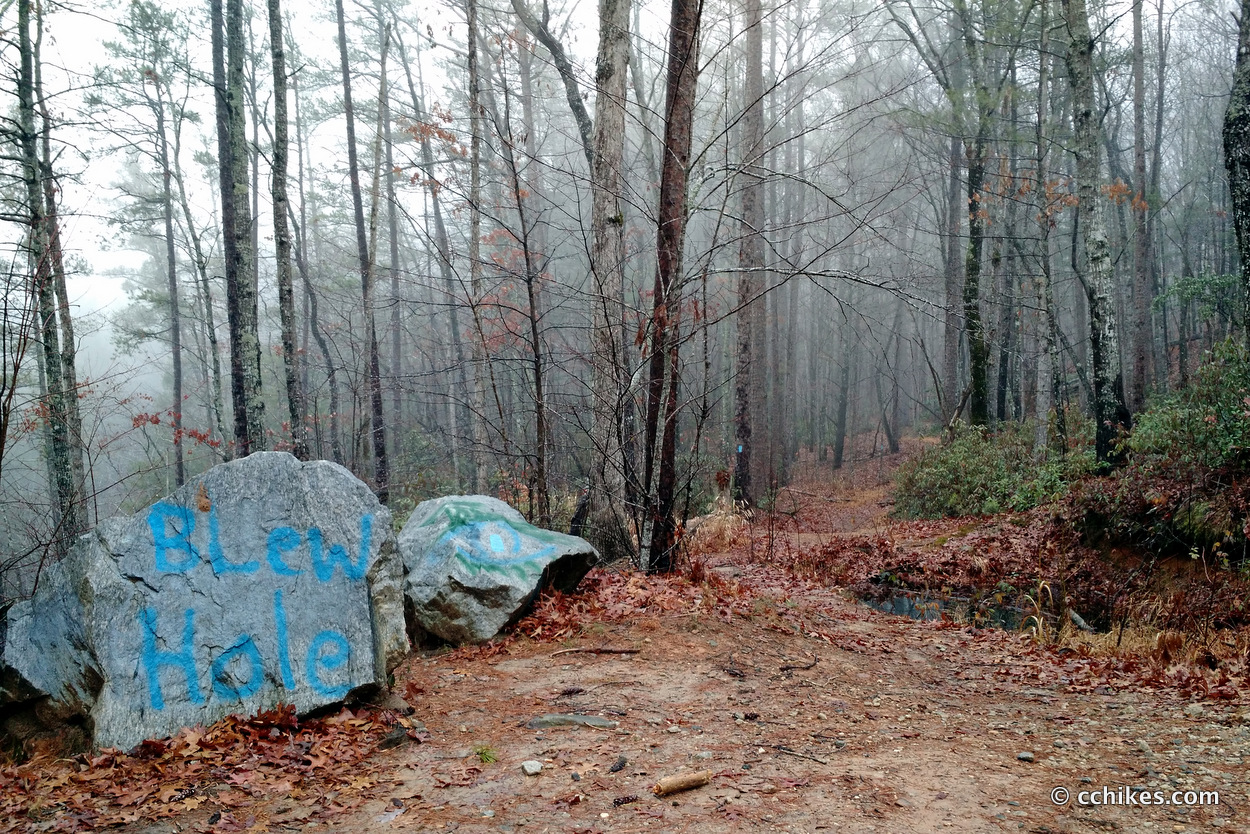
Some redneck has taken it upon him/herself to blaze the trail. There’s a reason this shouldn’t be done unofficially, and I’m not simply referring to leave no trace principles. This moron misspelled “Blew Hole” and then blazed a pathway directly to Cedar Creek Falls, which feeds into Blue Hole downstream.
Park at the gate and walk about ¼ mile until you see boulders blocking an old roadbed on your right. This is the correct path. Walk around the boulders and the large berm/pool and head down the trail.
The topography of the area can make the instructions a little unclear. You need to understand that that roadway is on the rim of a gorge. If you walk off the road to your left, you will quickly come to the cliff. Be very careful here. Understanding this fact helps you to realize that walking downhill is actually taking you further upstream. It’s odd, I know.
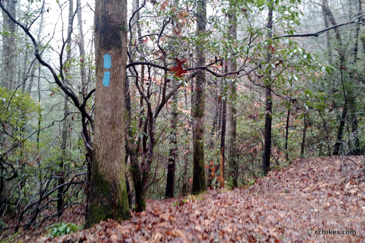
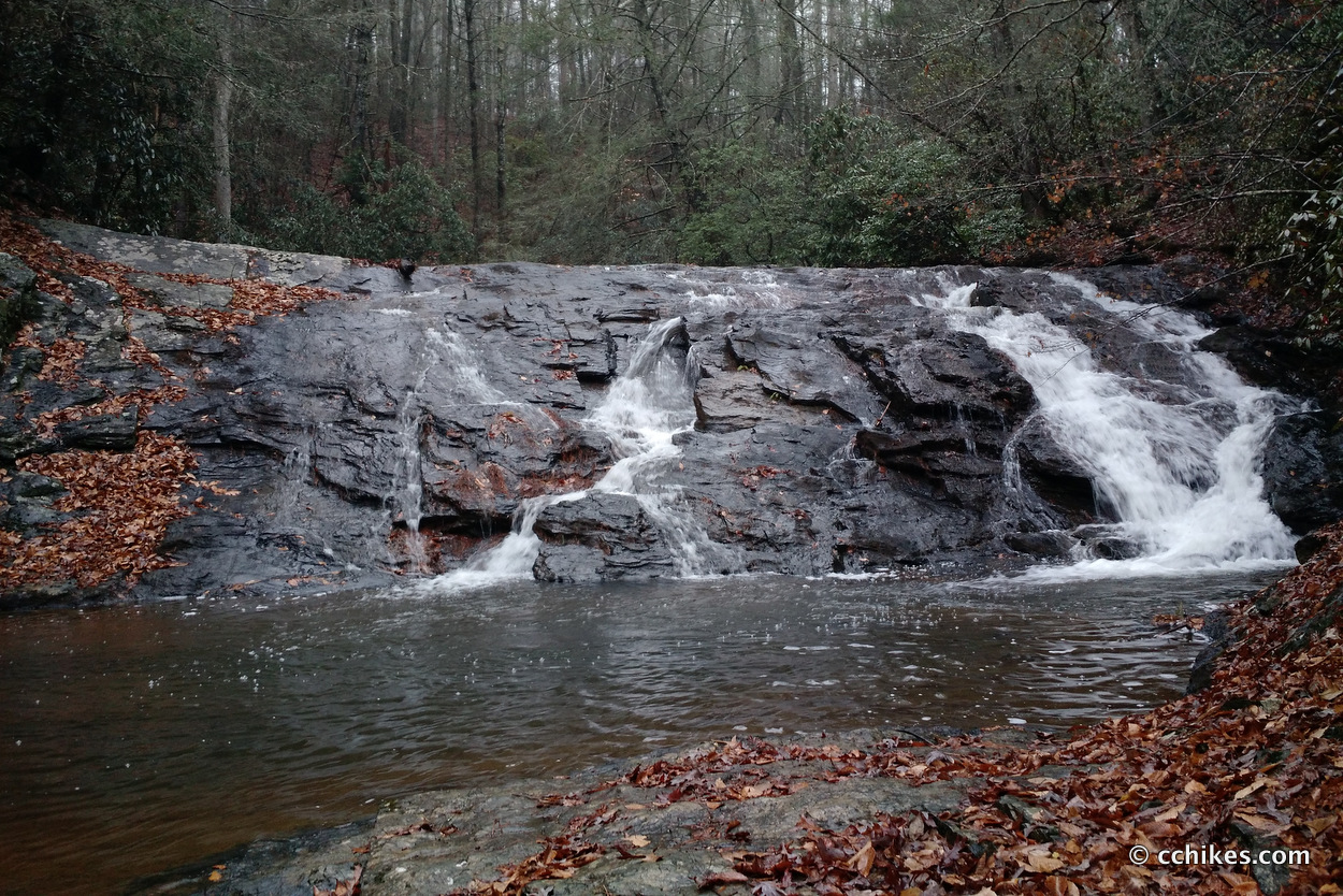
There are a couple of trails on your left that take you to the base of Cedar Creek Falls. The one that the redneck double-blazed is the easiest access point. If you continue down the road, you will see a little trail on your left that takes you to the swimming hole above the falls.
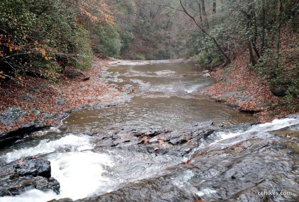
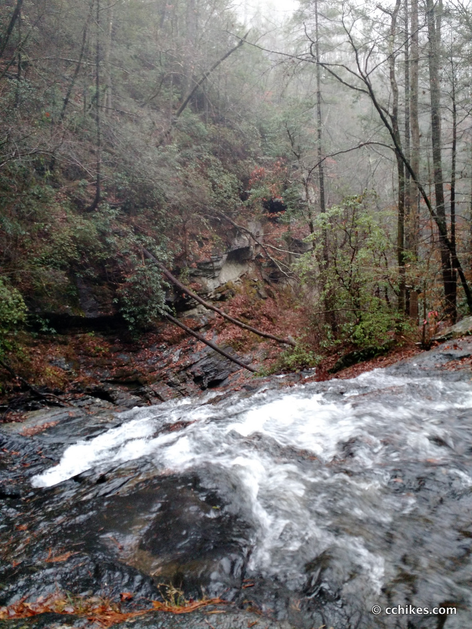
Below Cedar Creek Falls, the water falls off and narrows into a sluice. This sluice is Blue Hole Falls. The only way to see it is from the side/bottom of the gorge. To access that side, you have to cross Cedar Creek just below the falls and scramble down the hillside on the other side of the ravine.
It was raining when I was there. After nearly slipping and falling over the edge of Twin Falls earlier that day, I realized that it was foolish to try to negotiate the muddy hillside of a ravine near sunset. It’s really steep.
Pictures never convey height very well, especially on overcast days. Here’s a picture of the drop-off to the gorge.
I’ll drop by in better conditions to get pictures of Blue Falls from the bottom of the ravine.
Navigate
More
I learned about this waterfall from the book, Waterfall Hikes of Upstate South Carolina. This is just a few miles down the road from Chauga Narrows.
If you shop through any Amazon link on this website, you support me at no cost to yourself. Learn more in my disclosure.


Leave a Reply