

Despite growing up in Alabama, I’ve never really explored northwest Alabama. I’ve driven through the area to get to Memphis, but that’s about it. I was pleasantly surprised by the diverse flora and fauna in the Sipsey Wilderness. Hiking Sipsey ended up being a good excuse for me to get out of town when my home was being used for a girls’ weekend.
About the loop
Sipsey Wilderness is a 25,000-acre section of Bankhead National Forest in northwest Alabama. There are 65 miles of trails that can be used to piece together loops of varying lengths. This is one of the bigger loops you can make at 22+ miles, and it’s the perfect length for an overnighter or weekend trip.
There are several places you can park for this loop. Some of them are roadside, others are on gravel forestry roads, and a couple feature lots in public parks where you have to pay to leave a car overnight. I chose to park at Randolph, which is just off a free forestry road on the southwestern side of the loop. I also chose to hike counter-clockwise. The trails are: 202 > 209 > 207 > 210 > 223 > 208 > 206 > 201.
Orienteering
I relied on my own GPS map ↗ on my smartphone to track my progress on the trail. Many people don’t know this, but you don’t need an internet connection to ping GPS. It even works while your phone is in airplane mode. This GPS map showed me exactly where I was on the trail at all times. Feel free to copy this map or download the location data points and import them into your preferred GPS app. These step-by-step instructions will show you how to do that.
As you know, tech can malfunction, break, or run out of power. It’s prudent to take a contour map and a declination-correcting compass on your backpacking trips as well. You can also print your own series of maps if you have access to a color printer. That’s what I did.
If you’re interested in exploring Alabama, you could do a lot worse than to pick up a book like this.
If you shop through any Amazon link on this website, you support me at no cost to yourself. Learn more in my disclosure.

Day 1 (9 miles)
On the way into the forest, I drove to Kinlock Falls since it’s right off a gravel road. What a great little swimming hole.
I got to the Randolph Trailhead just after noon. It’s a small gravel lot with a sign board and map. There is no privy here, but there is one 6 miles further down the road at the Sipsey Trailhead and picnic area, which is a paid parking lot.
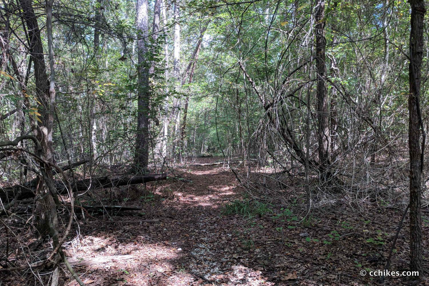
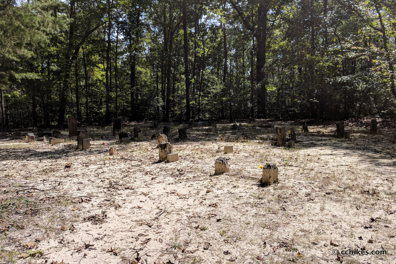
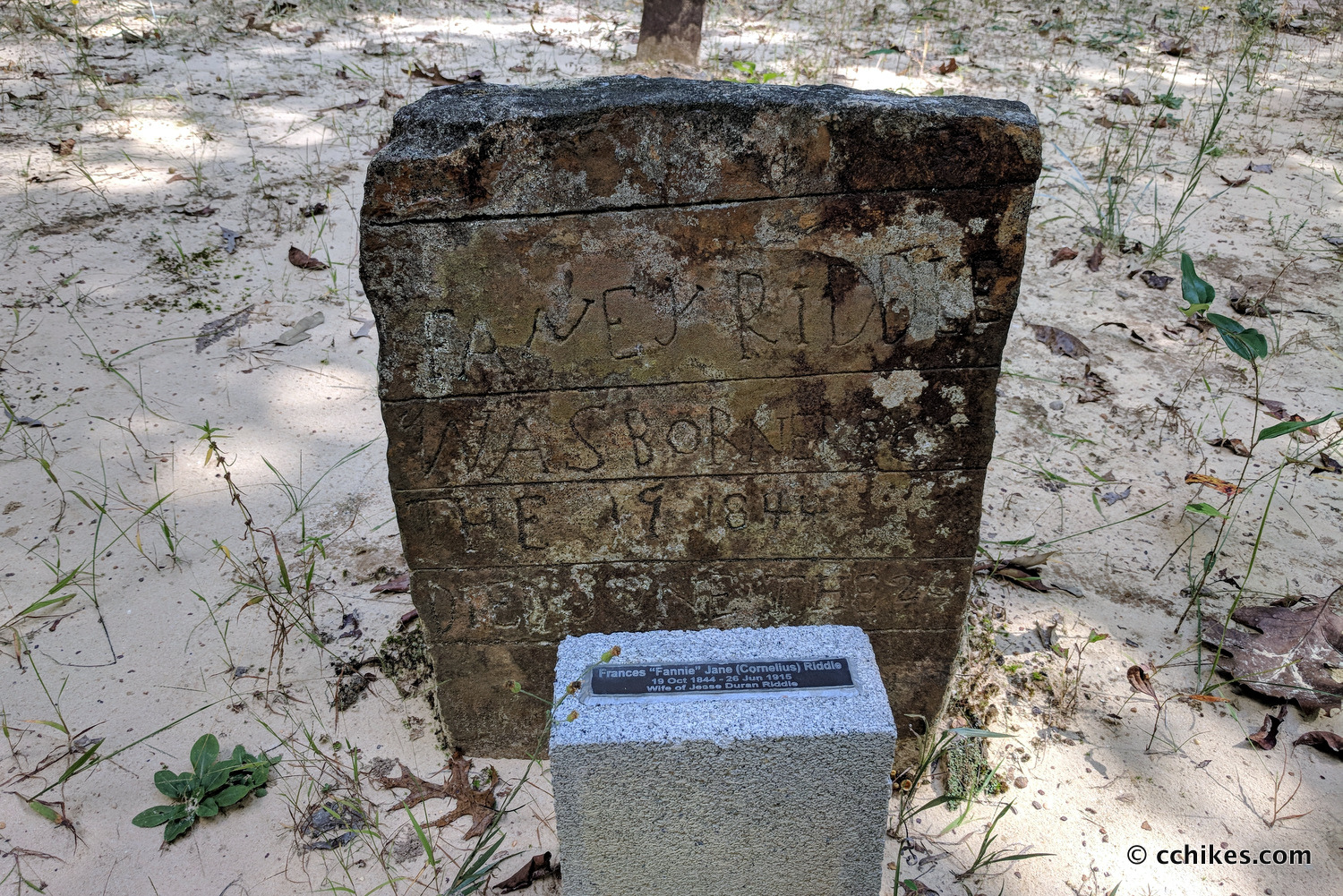
I wasn’t feeling very well and attributed it to being up late in Birmingham the night before. I decided to push through my discomfort and try to bang out some miles. The trail quickly spits you onto a gravel road. Wildlife was everywhere. I immediately spooked two whitetail deer. The road ends at a graveyard where a small berm blocks vehicles from continuing on the pathway. This section of the trail loses elevation gradually until you hit the Sipsey River.
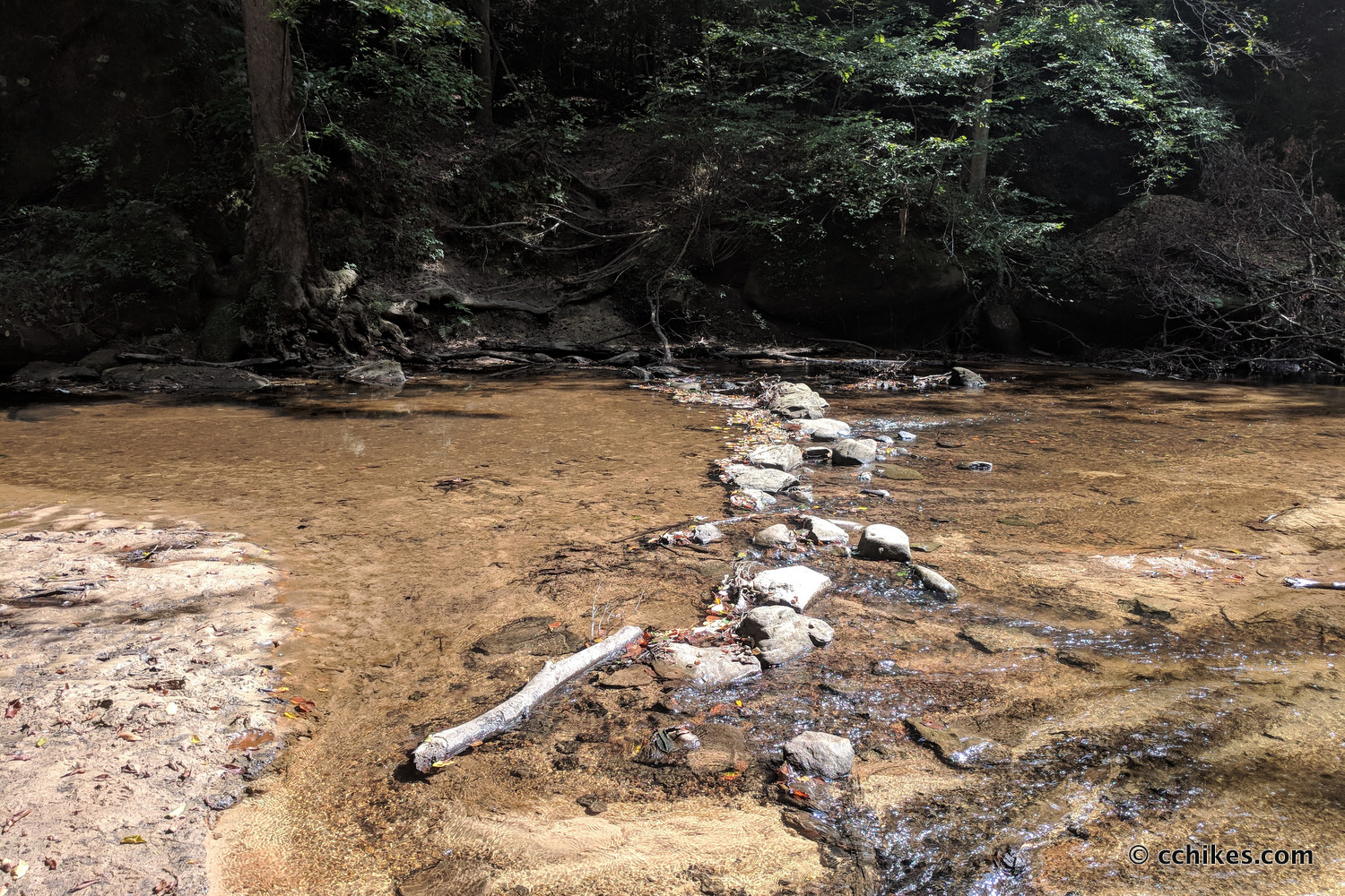
There are a couple of things to note. This trail is different than the blue line in the GPS map above. It follows the orange line instead. It’s the correct trail, but it’s been rerouted since some of those tracks were recorded. Just remember that you’re mostly walking straight and you have to cross the river. Ignore (or explore; whatever you prefer) all of the side trails that crisscross the main trail.
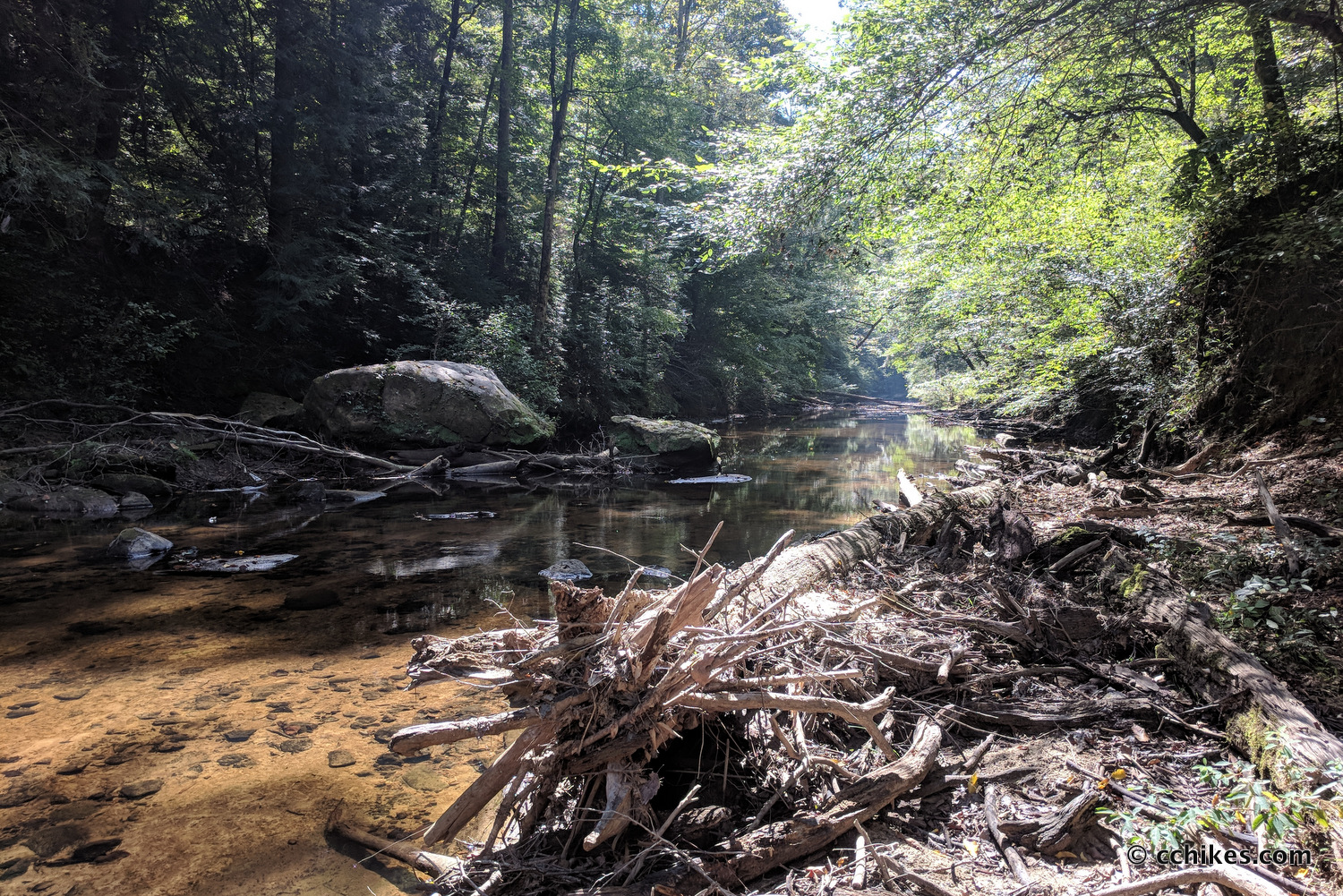
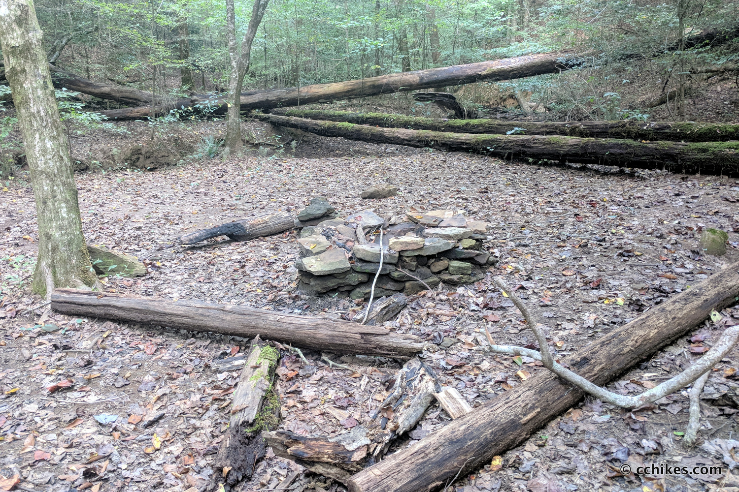
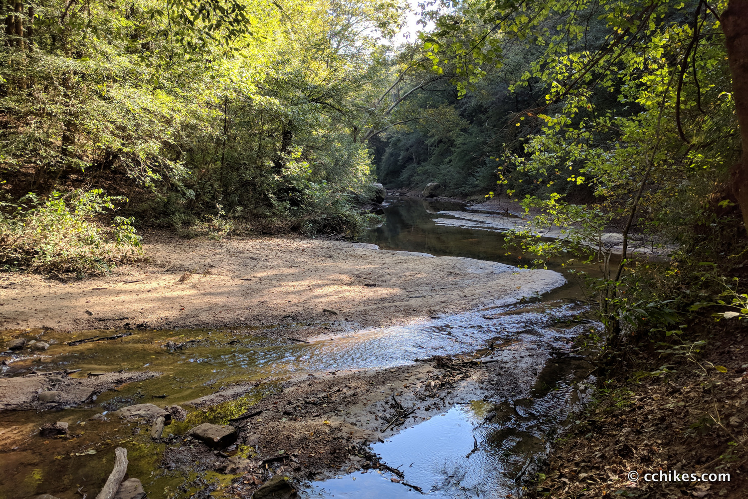
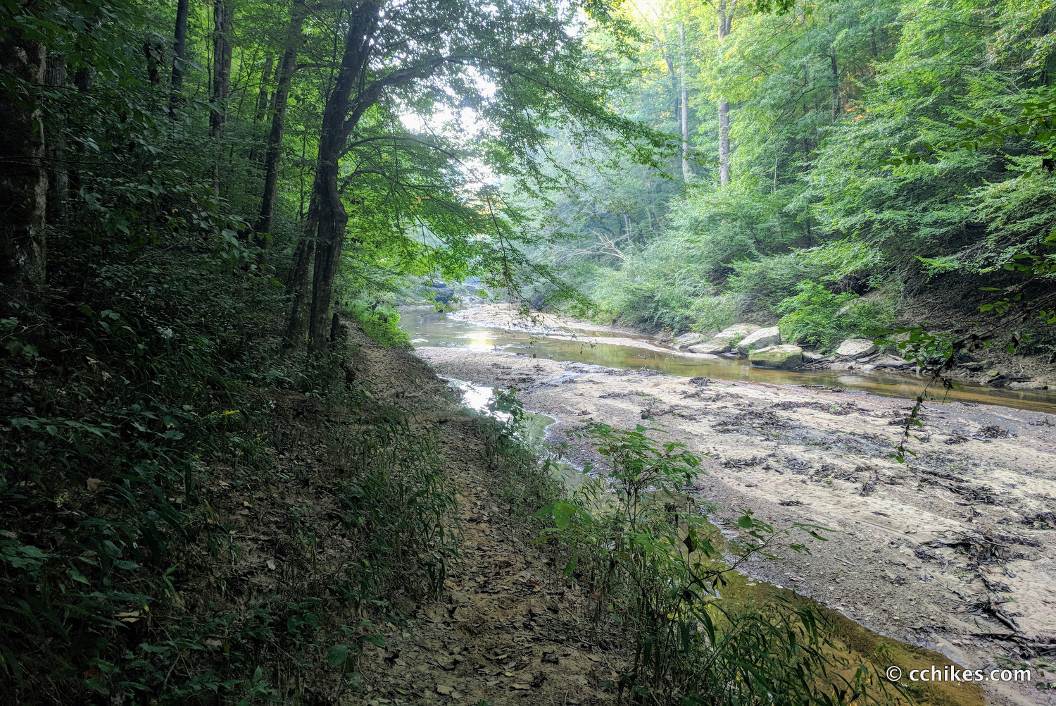
Once you cross the river, the trail is mostly flat. This area is very humid and very muddy. I was fortunate to hike it during a dry spell. It would have been slower going if I was slipping and sliding all over the place. Campsites abound, although they’re all close to the trail and the river.
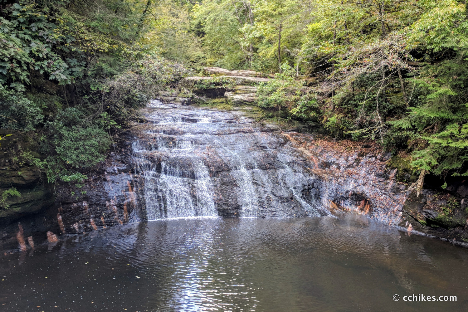
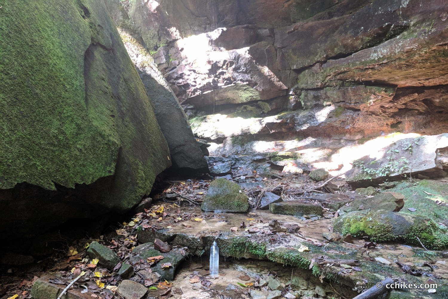
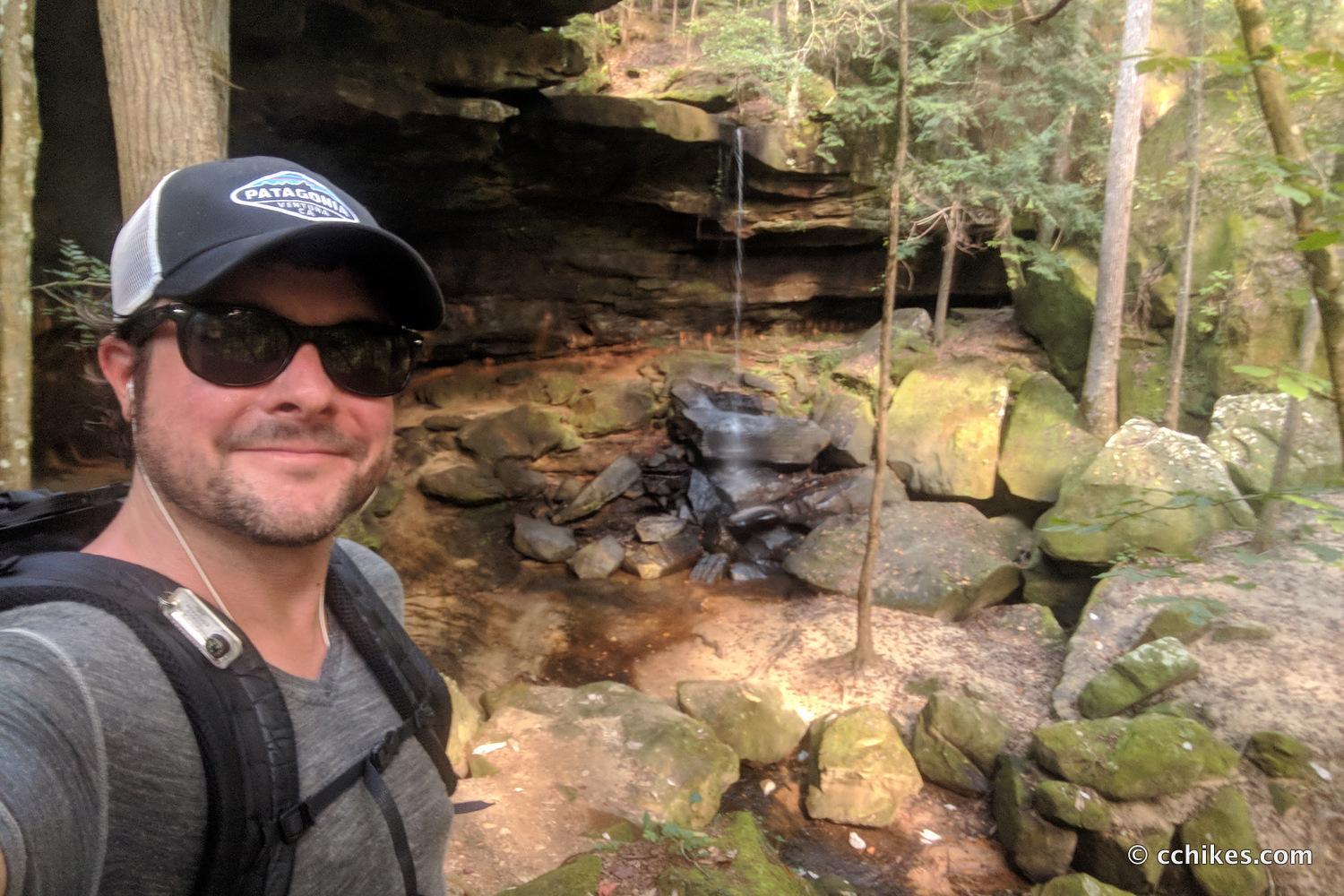
I was surprised how quickly I reached Fall Creek Falls. This meant I was almost done with trails 202 and 209 and was about to turn onto 207. Flat ground makes for fast hiking. You can tell how dry it was by the weak cascade.
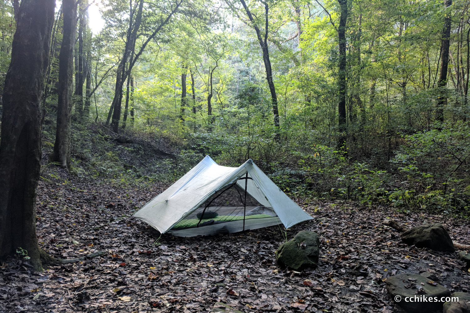
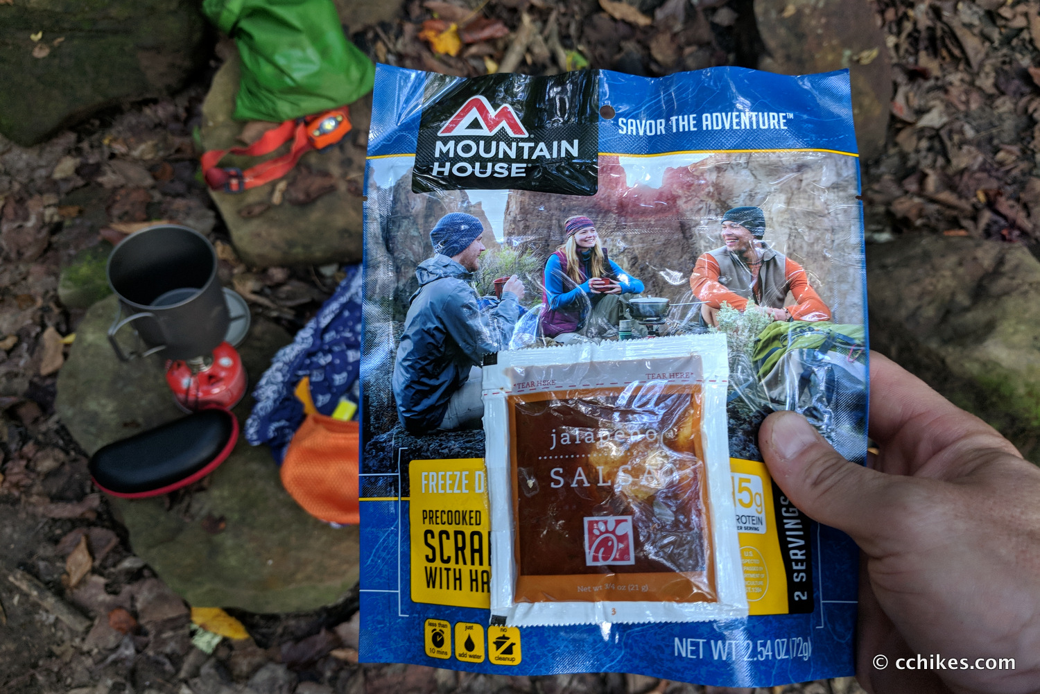
I was not feeling well (I was dehydrated and nauseous) and decided to make camp a little early before the trail ascended away from the river. I figured it was better to hydrate overnight than to ration my water higher in the mountains with no idea where the next water source would be. I didn’t feel like eating, but I forced down some scrambled eggs.
I only saw two people on this entire day, and that was when they were setting up their hammocks close to the second river crossing. I wasn’t surprised because that area was close to the Sipsey trailhead.
Day 2 (9 miles)
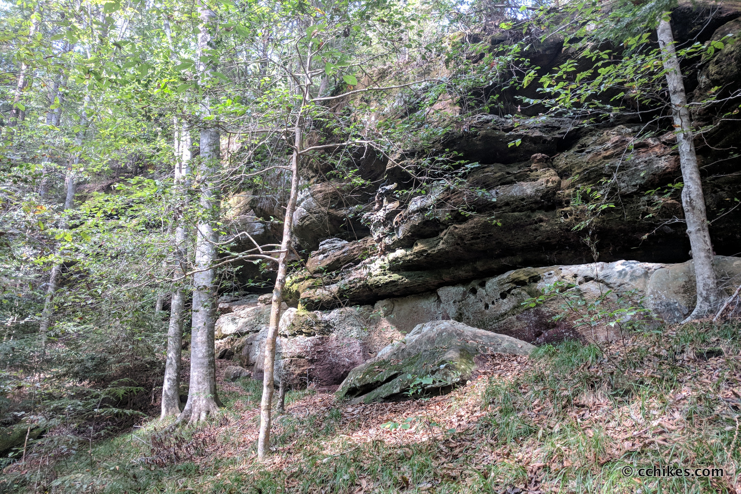
I was packed and hiking by 7:00 am. It was already very hot and muggy. I was still not feeling well but decided to push through it. The trail in this area is sandwiched between tall cliffs and the river. It made for pretty scenery in the dim morning light.
I started hiking above and away from the river when I accepted the fact that I was miserable. I was sweating like crazy and I felt terrible. I was almost halfway through the loop, so I thought that if I just kept going, I could be back at my car by early afternoon. But ahead of me was all of the elevation on the loop. It’s not too strenuous compared to what I usually hike, but it would be taxing in the heat and humidity. Behind me was relatively flat ground.
I’m not much of a quitter, but with a tired body and a long drive ahead of me, I decided to bail. I figured I could backtrack to the intersection of trail 209 and take 200 to the Sispey Trailhead. Then it was just a short 6-mile road walk back to my car. I felt very good about this decision and started on my way.
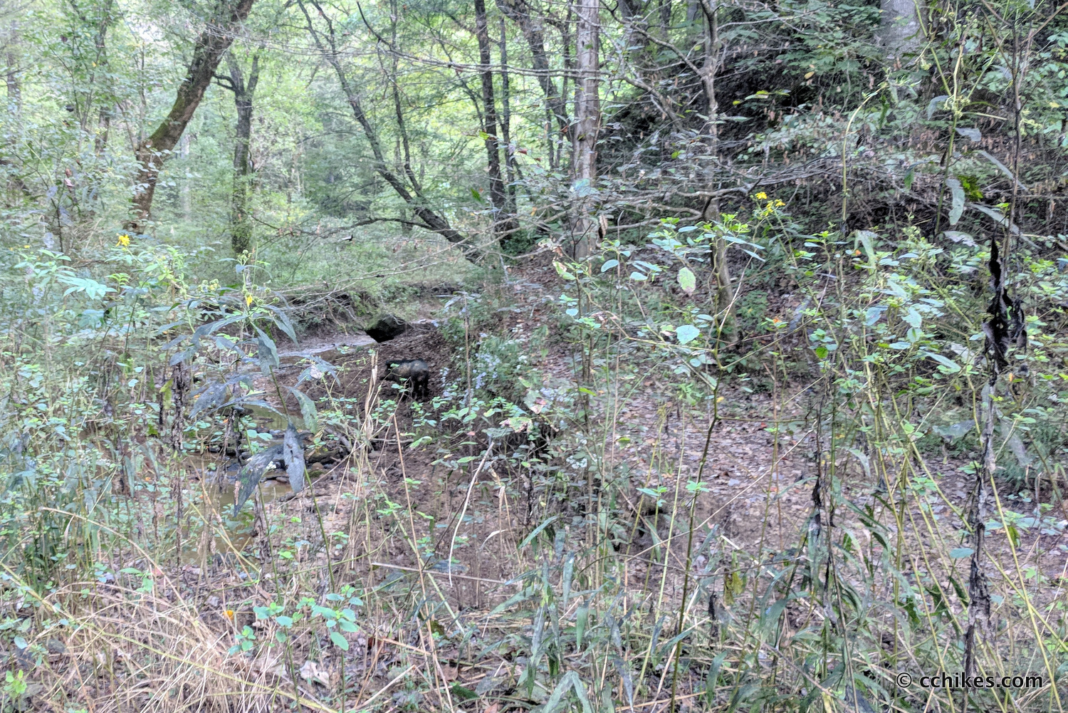
I was about to ford a creek when I realized I was trudging directly into a herd of wild boar. There were probably around 10 of them ranging from piglets to sows to absolute monsters. They took a look at me and scattered into two directions—around a bend in the creek and onto the trail ahead of me. The biggest boar stood guard in the creekbed and stared me down as the smaller hogs ran behind him. His large, sharp, white tusks were imposing.
The last thing I wanted to do was get between a sow and her young, so I decided to take a 5-minute break. I didn’t want to back away from the high ground where I was standing while that monster was eyeballing me, so I just stood there like a sentinel. I realized I would eventually have to dip down into the creek and cross to the other side. If that beast came barreling at me, I’d just have to deal with it. So I called forth my wits and calmly and carefully made my way to the other side.
Once over, I made noise as I walked to frighten the other hogs away. Then I booked it out of there. I must have run into a dozen people on my way out. I warned the people with unleashed dogs that there were boar in the area and took Trail 200 all the way to the road. Then I strolled back to my car and cranked the air conditioning.
Impressions
I live in South Carolina, so I’m no stranger to heat and humidity. This was another level of miserable. It should not be this hot in October. I also should have taken better care of myself in preparation for the hike, but what can you do? The point of all of this is to have fun. I was not having fun. So I left.
I thought the Sipsey Wilderness was pretty, but also pretty boring. It was green tunnel all around. I can get that on the Appalachian Trail whenever I want it. The river was nice, and it would have been fun to go when I had the leisure time to play in the water. I didn’t have that on this trip. If I was to go back, I would go with the goal of bagging all of the waterfalls in the area. I would view it as more of a camping trip than a backpacking trip, if that makes sense.
Either way, I’m grateful for what I did get to see and do, and for the fact that I didn’t have to fend off any of those feral beasts.
I listened to the first book of the Poseiden’s Children trilogy, titled Blue Remembered Earth. It was fantastic and really passed the time. I highly recommend it.
Navigate
More
Discover more loop hikes.
Discover more Alabama trails.


Leave a Reply