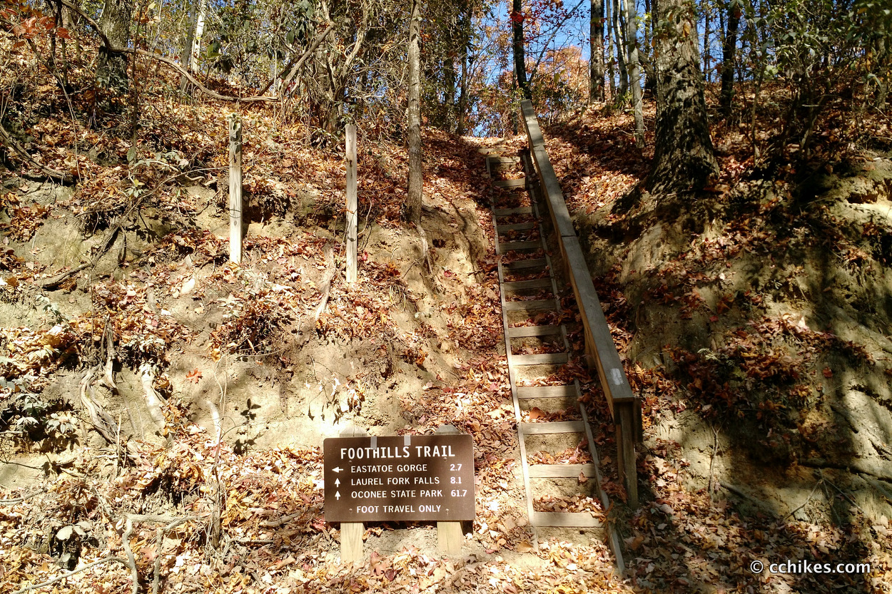


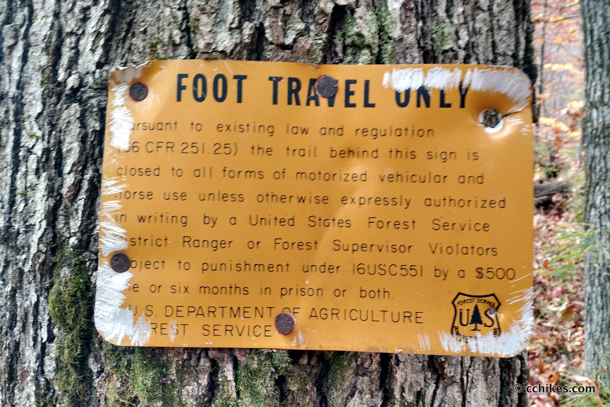

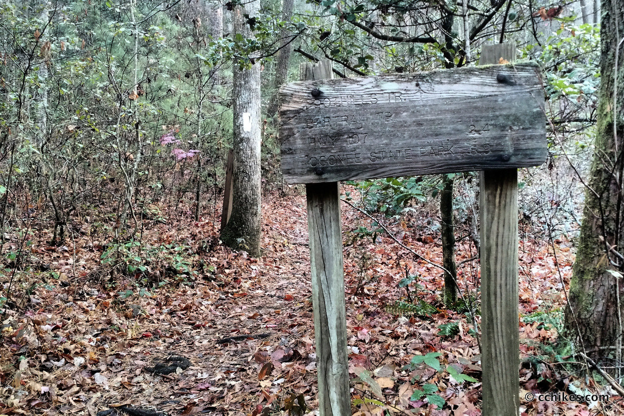

The Foothills Trail is a footpath between Oconee State Park and Table Rock State Park in upstate South Carolina. The white-blazed trail is 77 miles long and features everything from old logging roads to ridge walks to winding contours to wooden ladders and steep summits. It is set entirely in the foothills of the Appalachian Mountains, yet is overshadowed by more famous trails like the Bartram Trail and the Appalachian Trail. Even many of the locals have never heard of it.
I’ve spent the last several months shaking down my gear and this was part of that endeavor. I gradually built up my backpacking endurance by day-hiking, backpacking loops, and hiking the the Art Loeb Trail from end to end. The Foothills Trail was my final shakedown, and I feel very good about my gear and endurance at this stage.
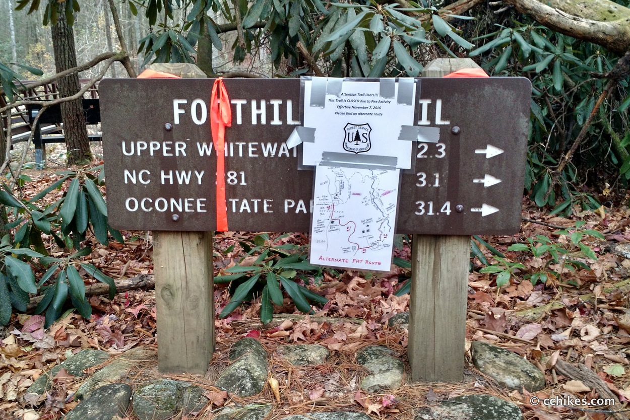
I had planned to section-hike the Foothills Trail by doing the highest elevation section (15 miles) near Table Rock a couple of weeks ago, but someone set the mountain on fire.
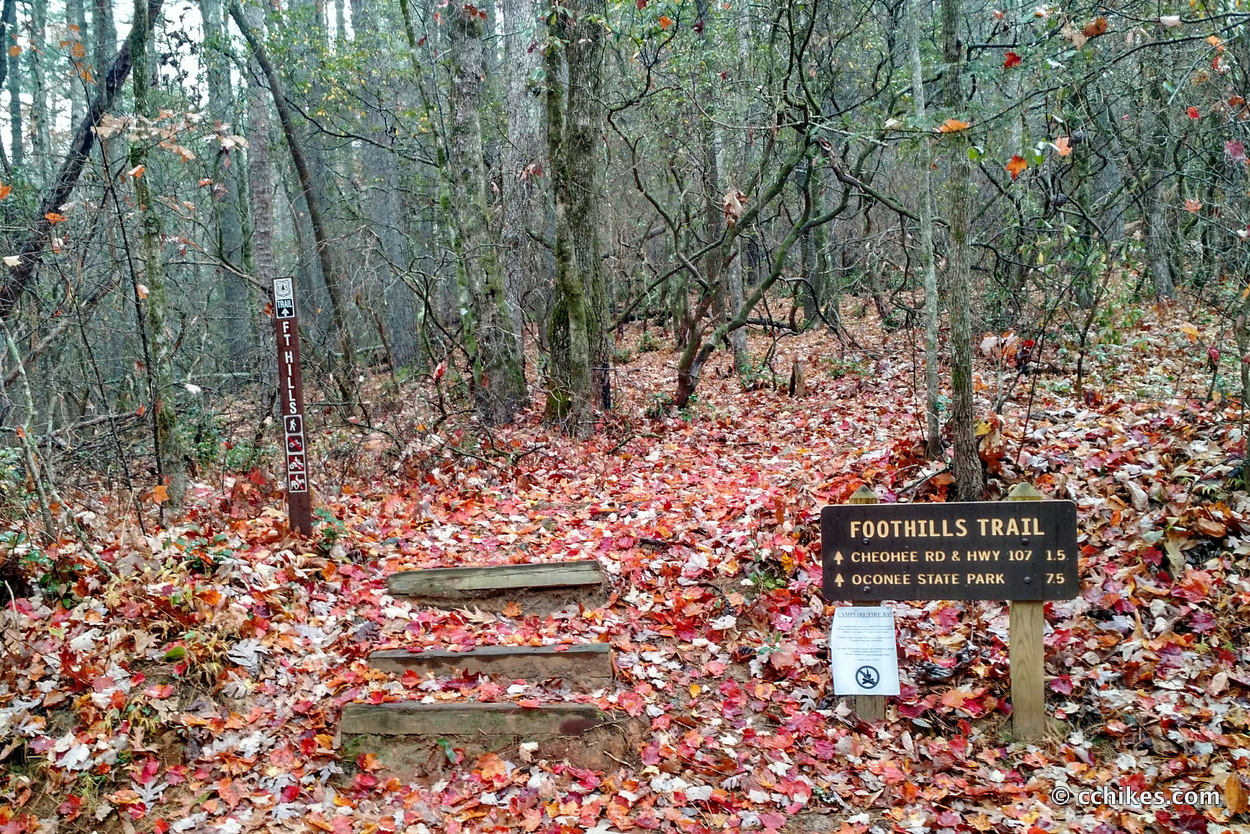
The fire is still smoldering and the trail is closed, so I kept to my plan and walked the remaining 62 miles westward from the Pearson Valley Access Area to Oconee State Park. I still have the remaining 15 miles to do and I’ll update this post when I finally finish it.
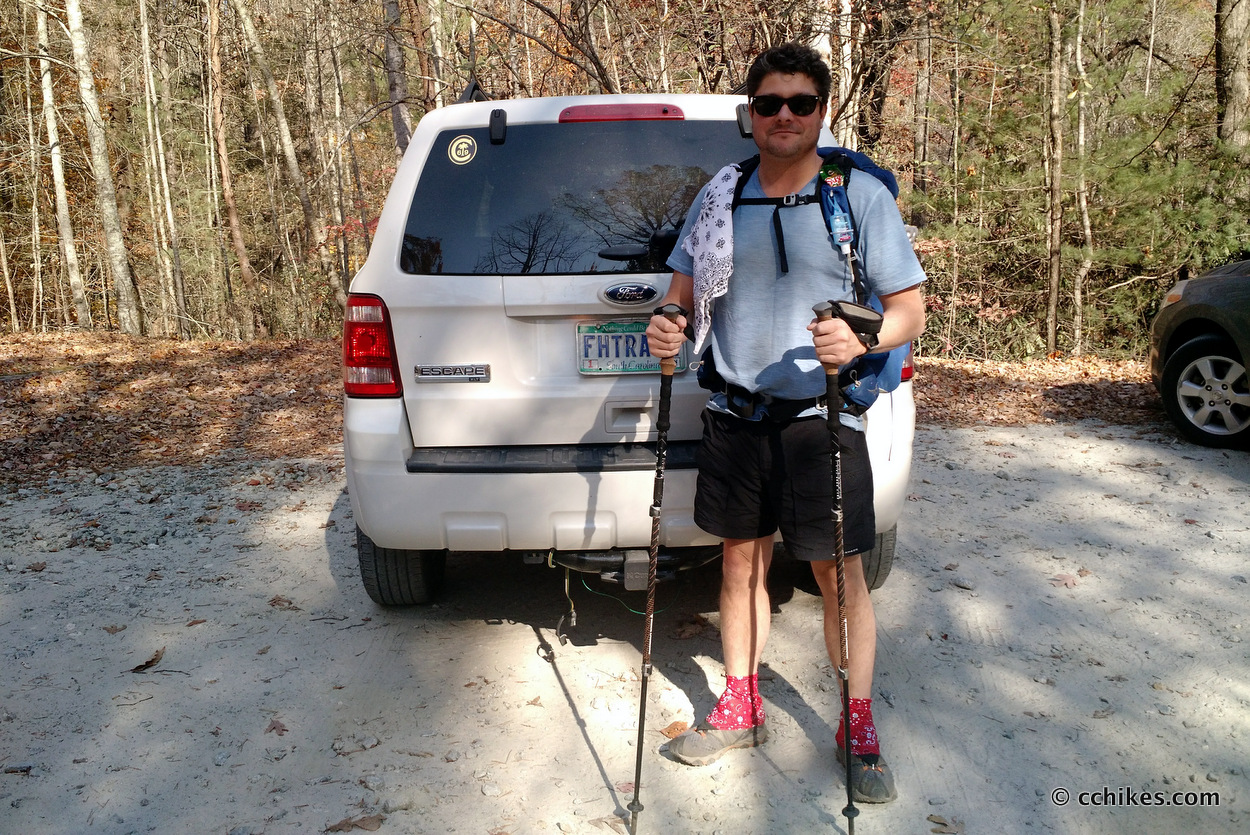
I allowed myself 5½ days to finish the trail and I surprised myself by finishing on my 4th day. The map point below will take you to the trailhead. Make sure to get your navigation app up and running while you’re still in civilization.
Orienteering
I relied on my own GPS map ↗ on my smartphone to track my progress on the trail. Many people don’t know this, but you don’t need an internet connection to ping GPS. It even works while your phone is in airplane mode. This GPS map showed me exactly where I was on the trail at all times. Feel free to copy this map or download the location data points and import them into your preferred GPS app. These step-by-step instructions will show you how to do that.
As you know, tech can malfunction, break, or run out of power. It’s prudent to take a contour map and a declination-correcting compass on your backpacking trips as well. This is the map and compass I own.
If you shop through any Amazon link on this website, you support me at no cost to yourself. Learn more in my disclosure.

Day 1 (10 miles)
The Executive Director of the Foothills Trail Board was kind enough to shuttle me from Oconee State Park, where I parked my car, to my starting point at Laurel Valley Access. On the way, he helped me cache food for the final 28 miles. That way, I didn’t have to carry all of my consumables for the first 34 miles.
I started with the goal of hiking around 8 miles to Laurel Valley Falls. I ran into another hiker headed in the same direction named Mike from South Florida. I thought we’d run into each other again, but we never did. I arrived at the Laurel Valley Falls campground at around 4:30 p.m. and realized that I had a lot of energy and another hour of daylight. So I hiked through the early valley sunset and made camp in the dark at Bear Creek Creek near a very dry Lake Jocassee.
I listen to audiobooks while I hike. On this day, I finished the last book in the highly entertaining All Souls Trilogy.
Day 2 (20 miles)
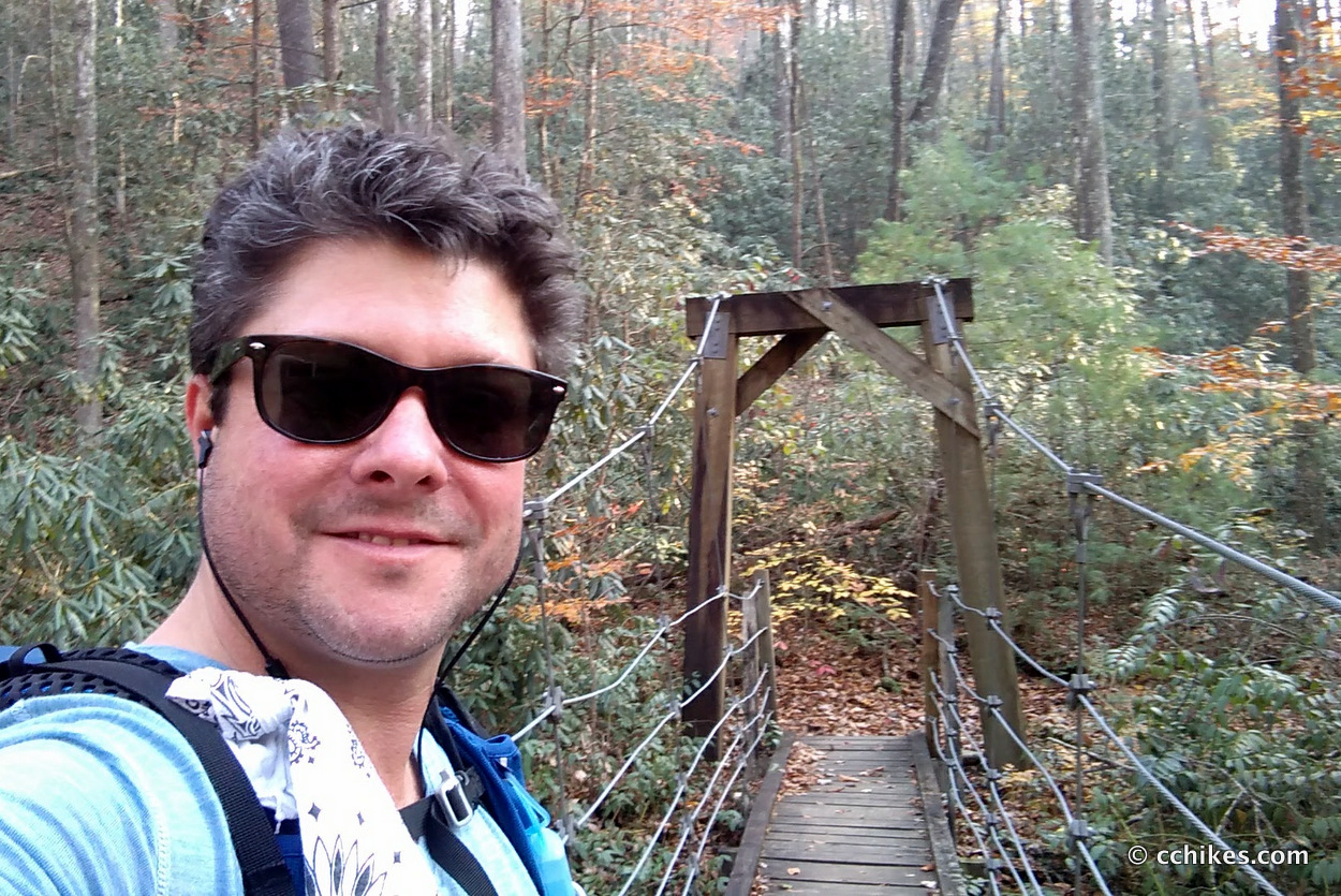
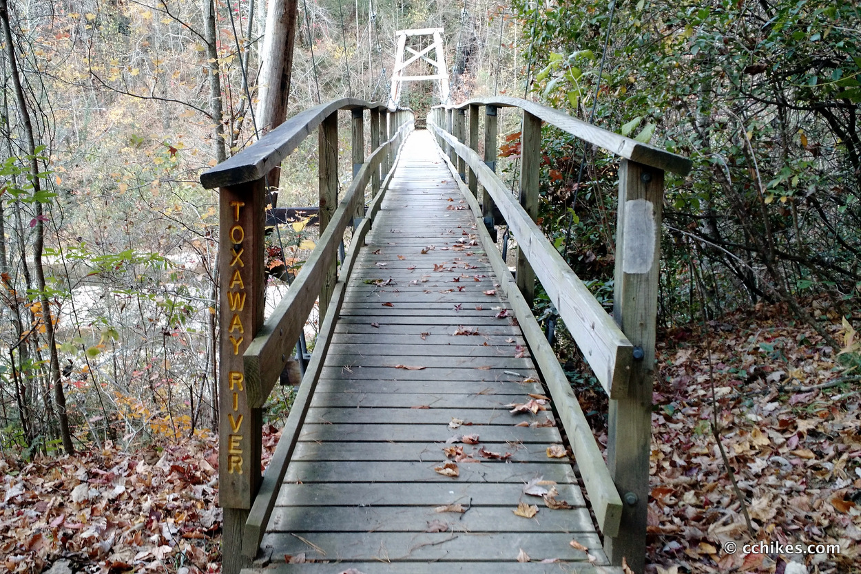
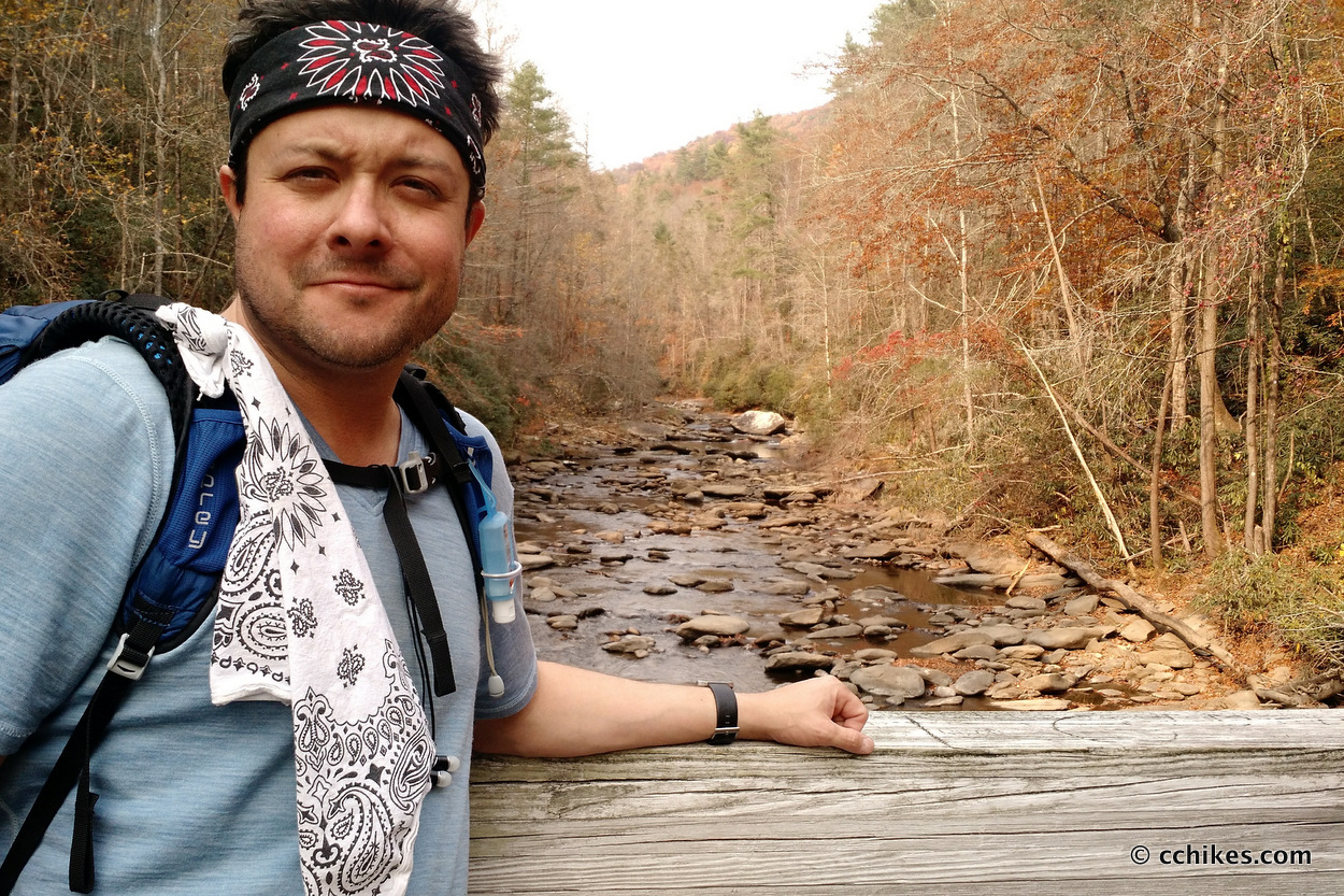
I packed up camp and made my way through the lakeside campgrounds and across the Toxaway River Bridge. My left knee felt like a rusty hinge and caused me considerable pain when dealing with steep elevation.
Next, I had to hike through Cane Brake and up to Bear Gap. This was an interesting climb. Most of the trail was on old logging roads that Duke Power used to survey the area before building the nuclear power plant. The upside to road walking is that the grade is always manageable. The downside is that switchbacks made for trucks are ridiculously long for hikers.
To add to the frustration, the trail split off the road and followed several pointless ups and downs that added unnecessary elevation and spit you back onto the road. Due to my knee pain, this was infuriating. But the more I walked on my knee, the more it numbed to the pain. Alternatively, the longer I rested, the more it hurt. The least bad choice was to stay in painful motion all day. I’ll have to talk to my doctor about this.
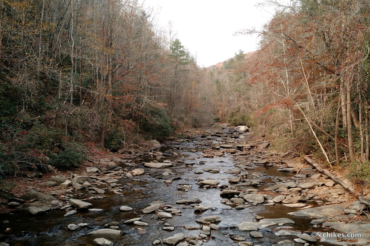
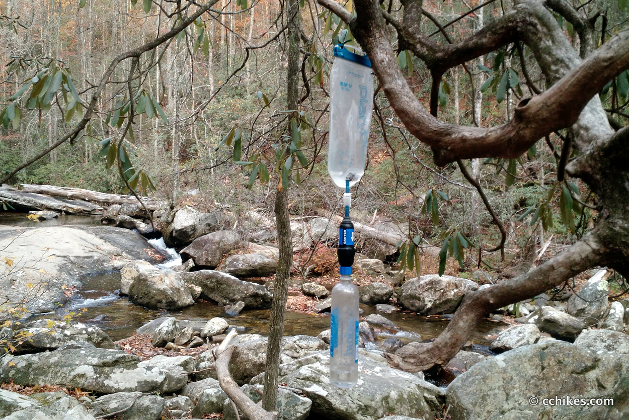
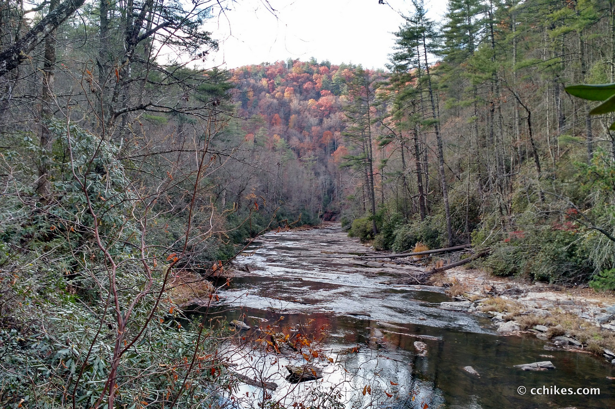
After some ridge walking (my favorite kind of hiking), the trail took me down to the Horsepasture River. This is in a corner of Gorges State Park and is the same river that feeds Turtleback Falls and Rainbow Falls. I filled my water bottles and set off to find a campsite before the sunset.
I should point out that my base weight for this trip was a little over 11 pounds. 2 liters of water weighs 4.4 pounds and the plastic bottles weigh a combined 3 ounces, which is roughly 40% of my base weight. So you’ll understand that I really feel that water weight. I hate carrying that much water, especially on a bum knee, but I planned to camp at elevation. This turned out to be a good move on my part. If I hadn’t have filled up, it would have forced me to night-hike downhill to find another water source.
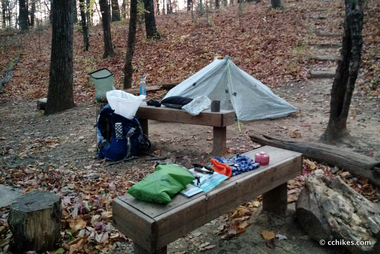
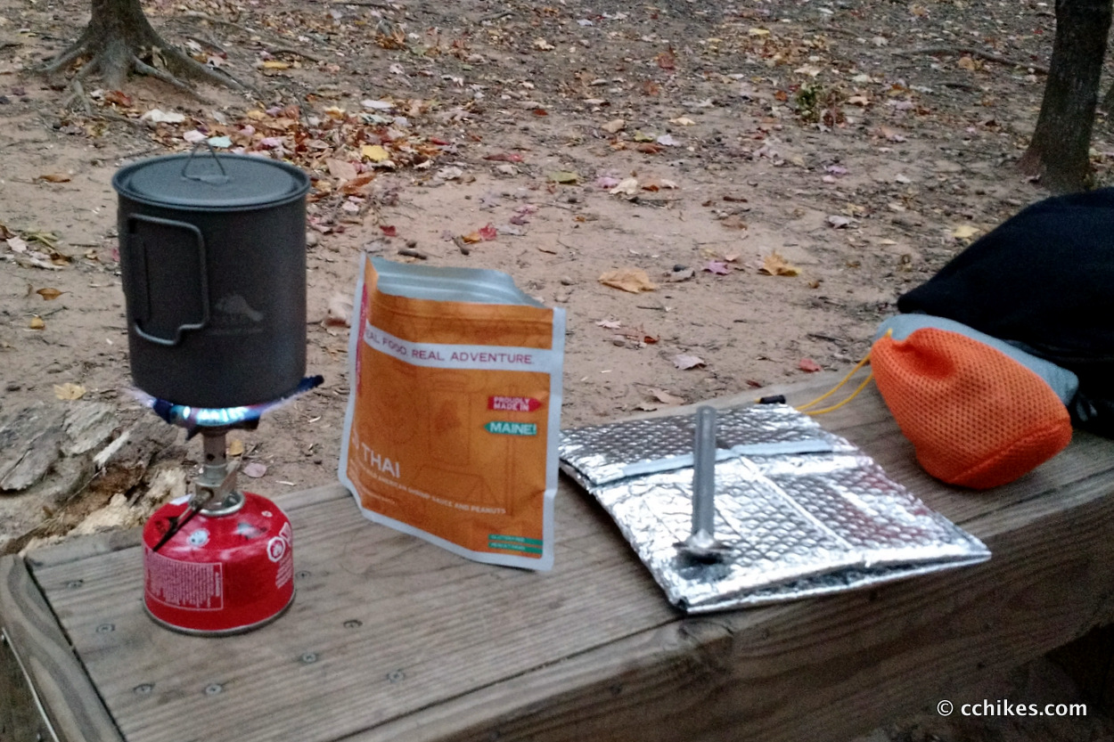
I made camp at a large established site. There were wooden benches that doubled as tables for my dinner prep. Sitting on anything flat at chair height in the wilderness is a special treat. I didn’t encounter anyone all day, so I serenaded the woods to my heart’s content and then fell asleep listening as Ender Wiggin drilled Dragon Army.
Day 3 (22 miles)
My knee felt better on this morning than the day before. I’ve been doing some yoga stretches before going to sleep on the trail (wide downward dog and pigeon pose are especially helpful) and I’ve seen a real benefit. I hiked down to the Whitewater River and refilled my water bottles. I knew I would be doing a lot of elevation on this day, but I didn’t appreciate exactly how much.
There was a detour at the base of Whitewater Falls and it took me a while to make sense of the re-route. I’ve already hiked most of that section, so I don’t feel like I missed much. Heyward told me that the detour mileage is about the same as the trail mileage, so I welcomed the road walking up to the highway. I just didn’t realize it would be so many miles of uphill road walking. This was easily the longest uphill section I’ve ever hiked. It must have been 5+ miles straight up from the river to the summit with no reprieve. My gym time has really paid off because I only needed to stop to catch my breath a couple of times.
Once I crossed the highway, I picked up my cache of food, second battery pack, and extra toilet paper. This is also the point when I realized that I was making better time than I had anticipated and might not need any of the food in the cache. I thought about leaving it and picking it up later, but the allure of hot breakfasts enticed me to stuff it all in my pack and start climbing again. I never got around to making any hot breakfasts, so that cache was dead weight on my back.
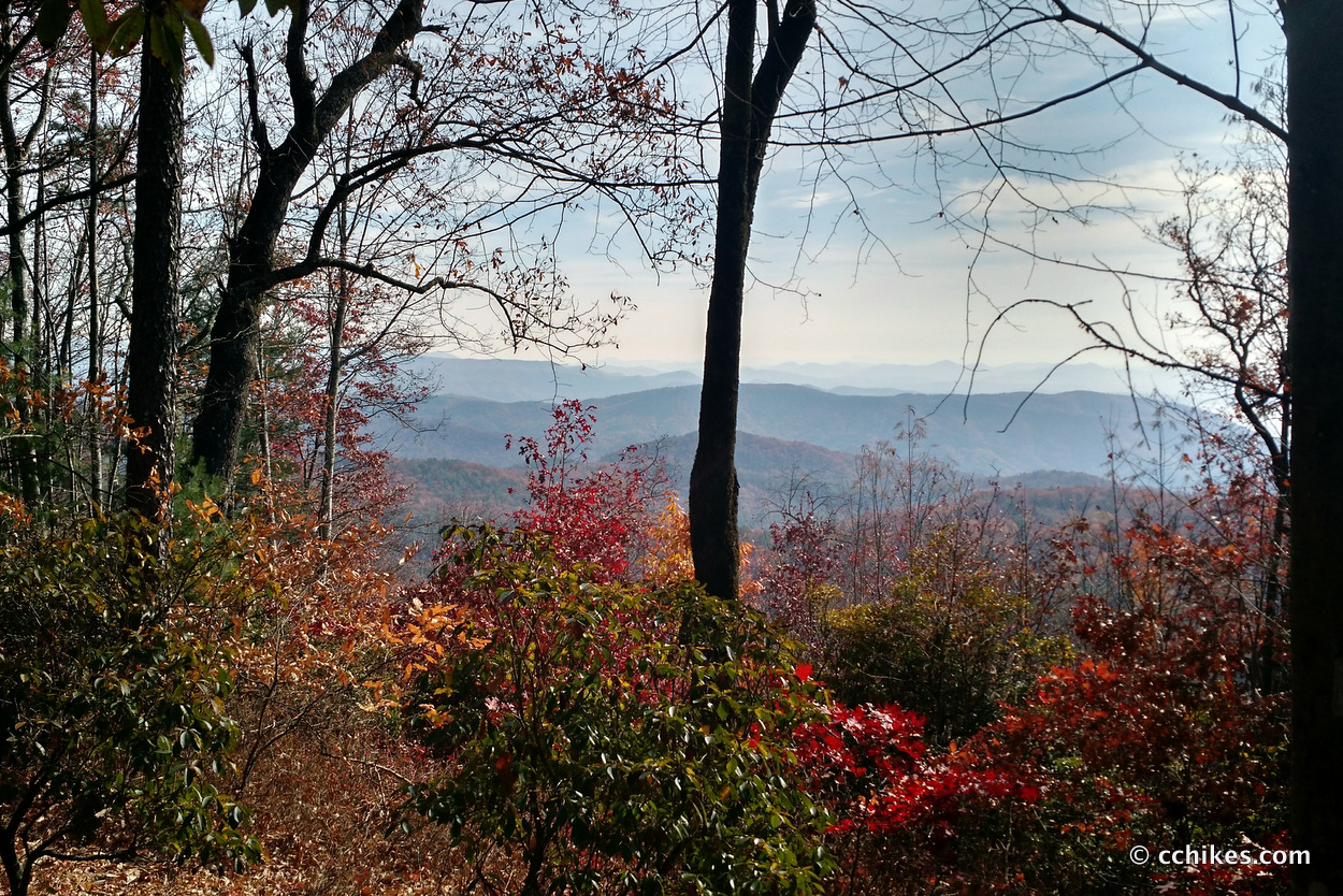
I wish I could say that the view from atop Round Mountain and Grassy Knob made the long climb worth it, but it didn’t. My reward was the subsequent miles of ridge and contour walking that followed.
Despite the knee pain that returned, I was really grinding out the miles. I was on autopilot when I made the arduous trek down the long staircase to Sloan Bridge. The hike up and out was just as hard. It reminded me of taking the stairs at the Dupont Circle METRO Station in Washington, D.C. You just lower your head and push through it. Every mountain must have a top, right?
I kept walking the contours and was shocked when I popped out at Fish Hatchery Road. I was making really good time. By this point, my knee was hurting very badly and I was out of Ibuprofen. Since I did the section between the Hatchery and Burrell’s Ford a couple of months ago, I decided to road walk around the trail. My knee pain usually abates when I walk an incline versus a steep climb (involving lifting my knees like stair climbing), and that came to fruition here as well. The road walk was actually longer than the trail, so I have no regrets.
By the time I reached the trailhead at the Burrell’s Ford parking lot, my knee pain was manageable again. By the time it became unmanageable, I was walking the shoreline of the Chattooga River and was unable to find a campsite as the sun was getting low. I filled my water bottles in anticipation of making a climb away from the river and limped along, using my trekking poles like crutches. I ran into the second human being at this point. He was a German using his Thanksgiving vacation to get outside and exercise. He wasn’t much for conversation so we parted ways.
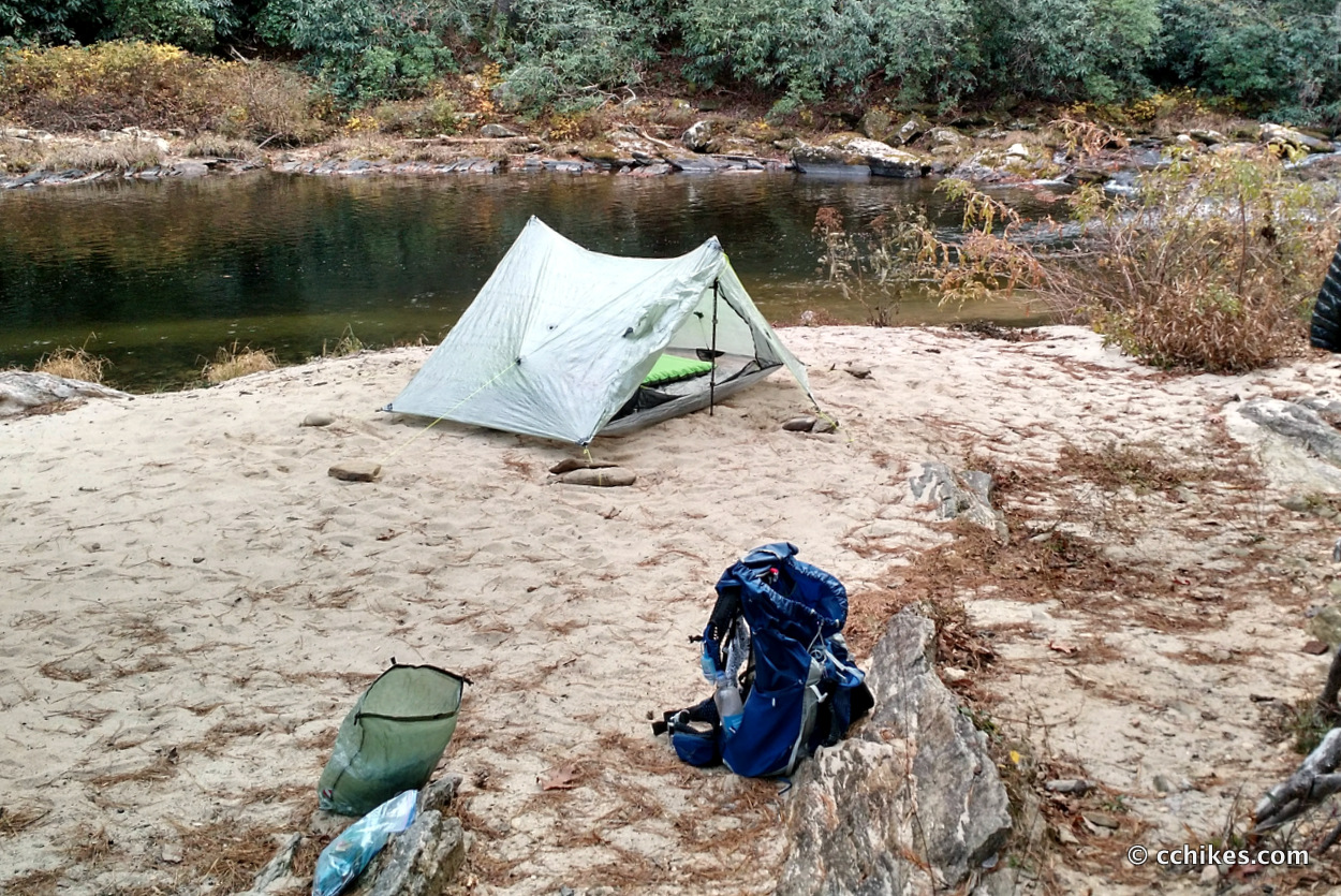
I reluctantly made camp on a sandbank along the river. I woke up terrified when it started raining hard around 11:00 p.m. Based on the forecast, I hadn’t even packed a rain jacket (saving me 6+ ounces). I had visions of the river suddenly flooding and forcing me to pack everything out at night in the rain. As luck would have it, the rain let up, the river never really rose, and I hiked out under clear skies on Thursday morning.
Day 4 (10 miles)
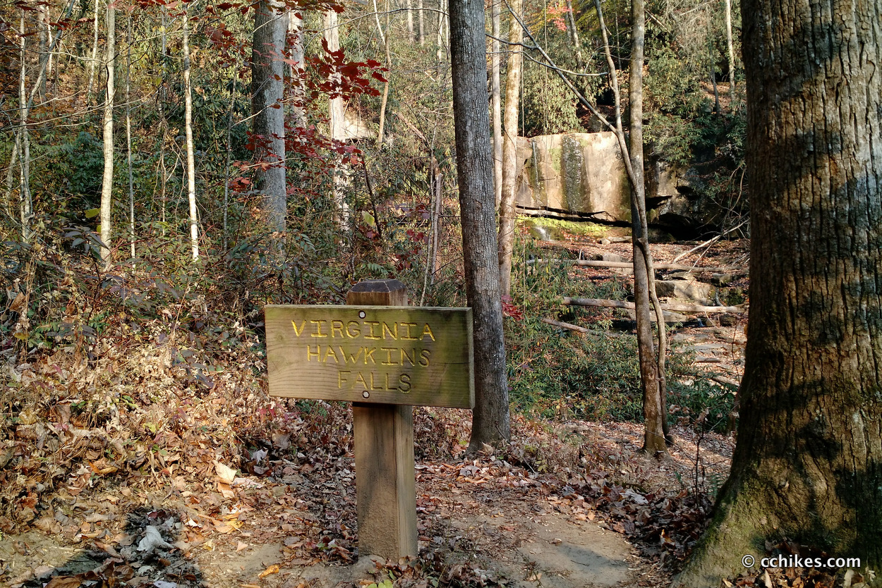
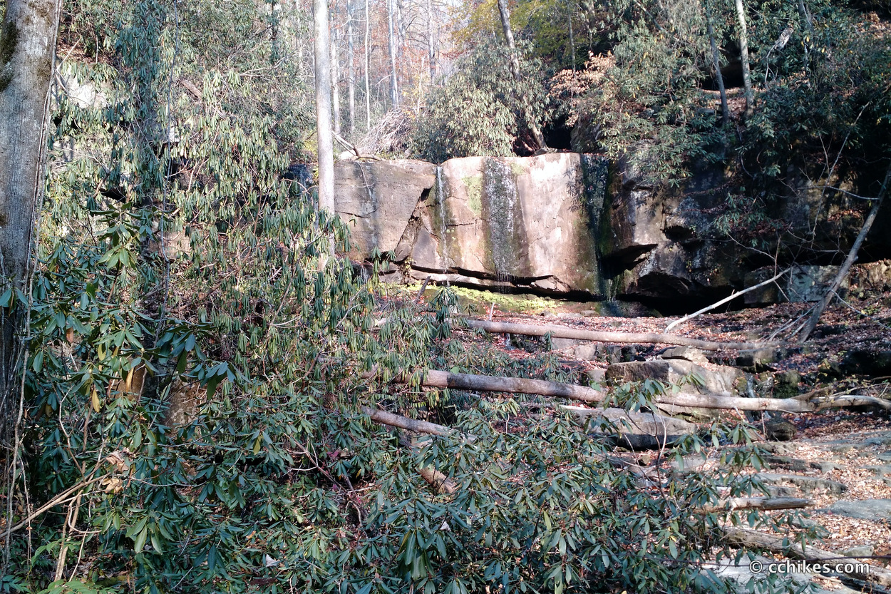
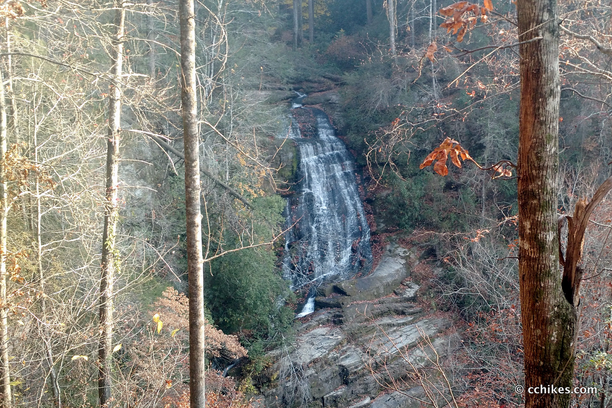
I woke up feeling pretty good and hit the trail happy to be dry. I knew that this final section featured the lowest elevation on the trail and I was eager to knock it out. This leg featured more river shoreline walking, a couple of waterfalls, and a lot of low contour and ridge walking.
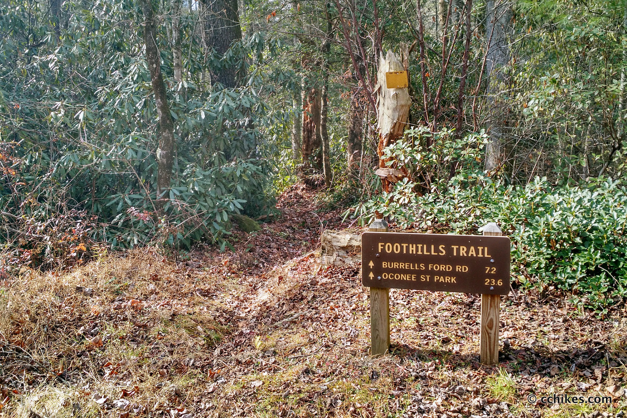
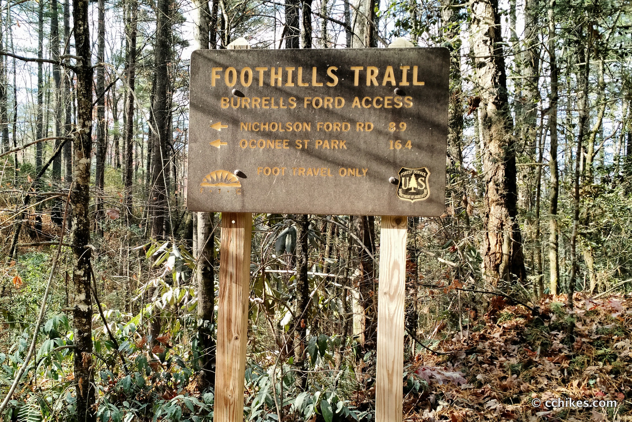
I stopped and talked to the third and last person I would see on the trail and got a feel for the remaining challenges. At this point, I had finished my re-read of Ender’s Game and moved onto The Third Gate. I walked along and watched with glee as the signs pronounced 8.9 to 7.5 to 6 to 4.4 to 2 miles to Oconee State Park. The end was in sight and I was ready to be done.
I finally popped out at the park, but there was no one around to take my photo. My total for the day was around 10 miles. I dreamed of an all-you-can-eat buffet, but since it was Thanksgiving, most places were closed. I ended up eating a ½-pound cheeseburger with a side of mac & cheese at Ruby Tuesday’s and it was a worthy Thanksgiving feast for me.
Impressions
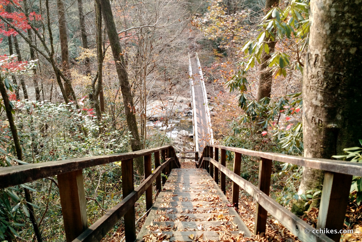
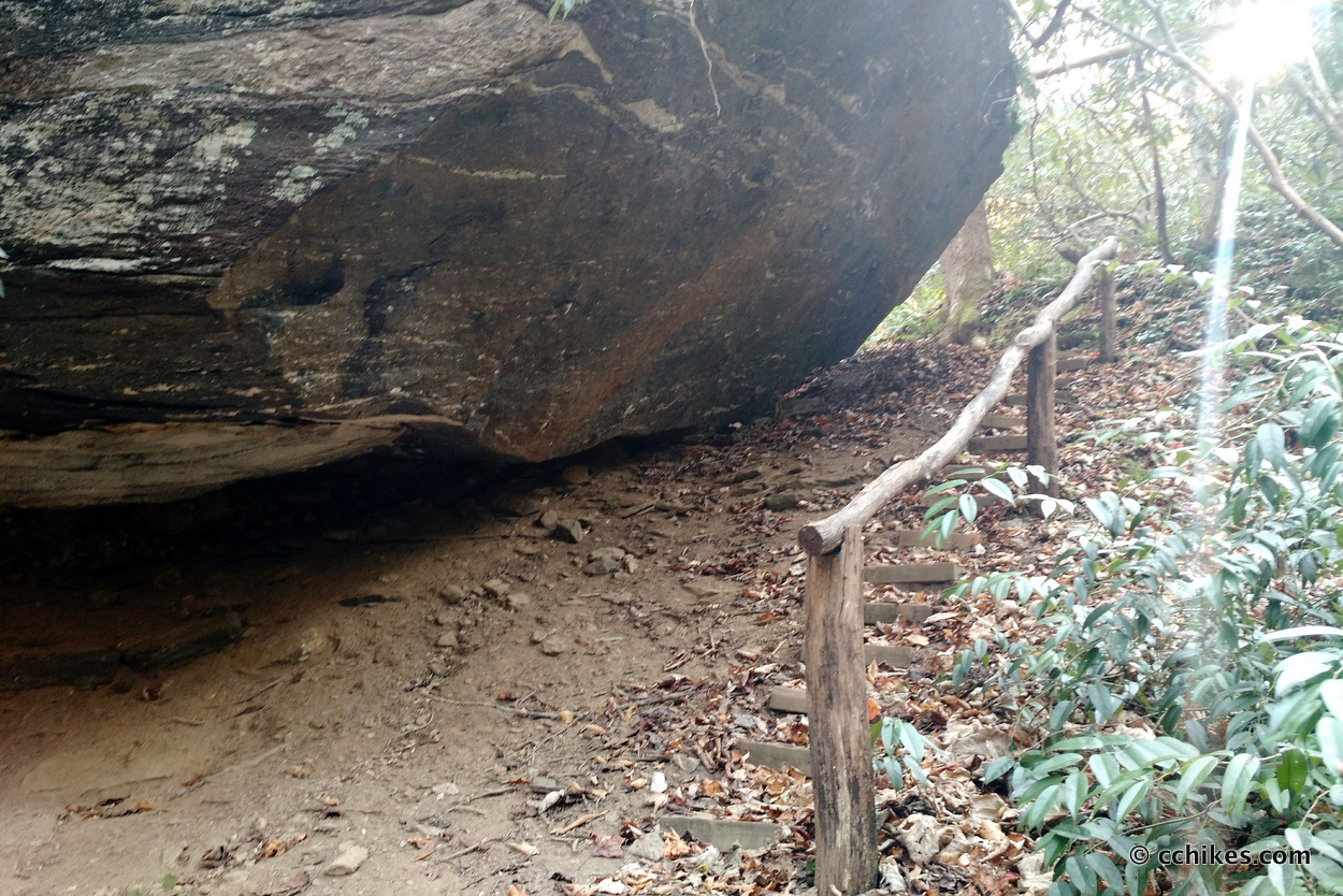
The Foothills Trail has it all—steep climbs, contours, ridges, ladders, staircases, bridges, flatlands, and vistas. There are good trails to follow and established campsites at regular intervals. The hike was challenging without being technically difficult, but I think you would be foolish to attempt this thru-hike without trekking poles.
If you are in good shape and can crank out 10-mile days on mountain trails without too much stress, then you can do this hike at your own pace. Thanks to scattered road access points, it’s easy to section-hike this trail as well. And because of the spur hikes off of the main trail, there are attractive opportunities to re-hike different sections with the intention of visiting all of the blue-blazed spectacles off the beaten path.
Navigate
More
Discover more hikes involving the Foothills Trail.
Discover more North Carolina trails.
Discover more South Carolina trails.
Discover more waterfalls.
Update (15 miles)
I finally got around to hiking the easternmost section of the Foothills Trail in March 2017. The fire damage was nowhere near as noticeable as I imagined it would be. Since it was only 15 miles, I was able to day-hike it. The improvement in my fitness since I first attempted the Foothills Trail is hard to overstate. I’m stronger, lighter, and enjoy much greater stamina. As you can see, I had to replace my hiking shirt and shorts with smaller sized replacements because of my weight loss.
I practically flew through this section despite it featuring the most elevation of the whole trail. Thanks to my knee compression sleeves, I experienced none of the pain that defined my Foothills Trail thru-hike the first time around. Some resting hikers went so far as to admonish me for seeming too chipper after the ascent of Pinnacle Mountain. I couldn’t help myself; I was having a great time!
Last time, I started at Laurel Valley Access and hiked west to Oconee State Park. I had planned to start at Laurel Valley again to hike east to Table Rock State Park. That would mean the largest elevation changes would feature descents. In the past few months, I’ve grown to love climbing, so I started at Table Rock and ended where I began. That way, I walked mostly uphill.
If you want to know how to get to Laurel Valley Access, use the map that takes you to Eastatoe Narrows. You’ll go right past the parking lot for the Foothills Trail. You can’t miss it.


Leave a Reply