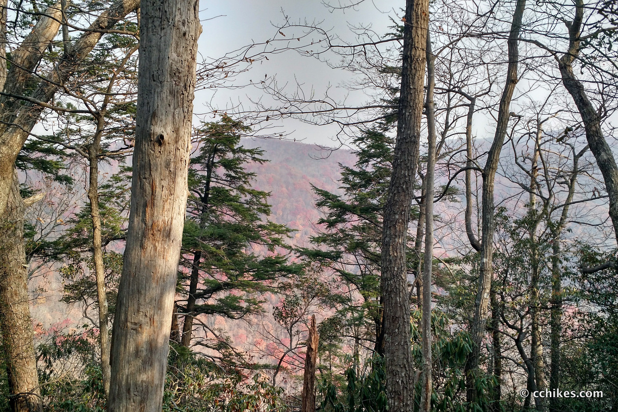

I finally got around to hiking the 4½ mile Coldspring Branch/Bill Kimball loop at Caesars Head. The western trails at Caesars Head (Raven Cliff Falls, Gum Gap, Dismal Loop, and the Foothills Trail connector) seem to get more attention than those east of US 276. Since the wildfires are still burning at Pinnacle Mountain and Table Rock, I decided to finally explore the eastern side of the road.
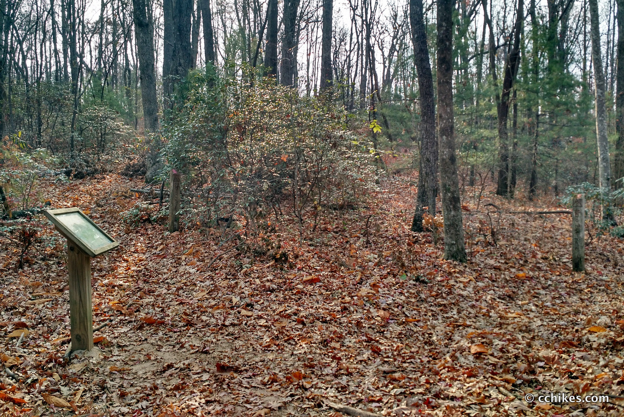
I parked at the Raven Cliff Falls lot and paid and registered as a hiker. There are no bathrooms in the lot, but there are facilities at the ranger station just up the road. There is also overflow parking further down the hill. The Coldspring Branch trailhead is in the southeastern corner of the parking lot. It features a pointless up and down before meeting back at the street at an old logging road gate. You can just walk up the road and start from there if you prefer.
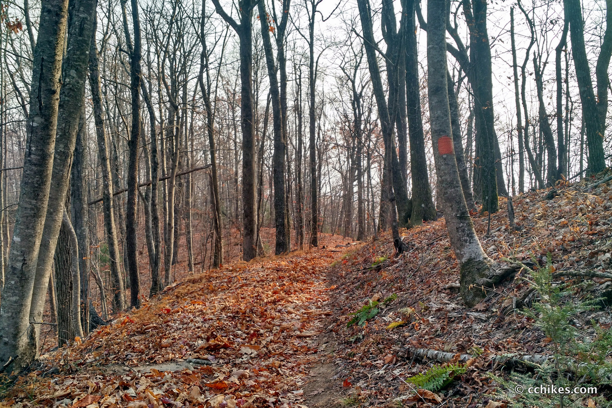
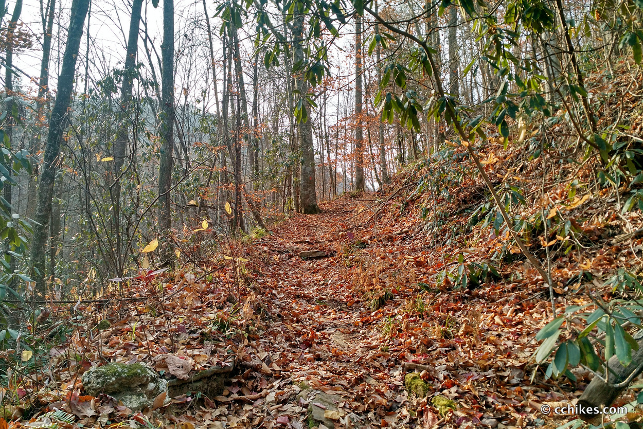
After a little ridge walking, the trail forks into a loop at the intersection of the Bill Kimball Trail. If you go clockwise at the loop, your hike will be 2/3 uphill. The downhill will be technical and steep, but the uphill will be moderate. If you go counter-clockwise, your hike will be 2/3 downhill, mostly on old logging roads. You will go uphill in the steep and technical sections. I went clockwise but would choose to go counter-clockwise in the future.
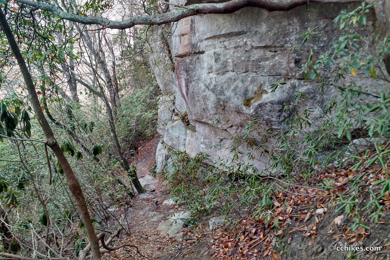
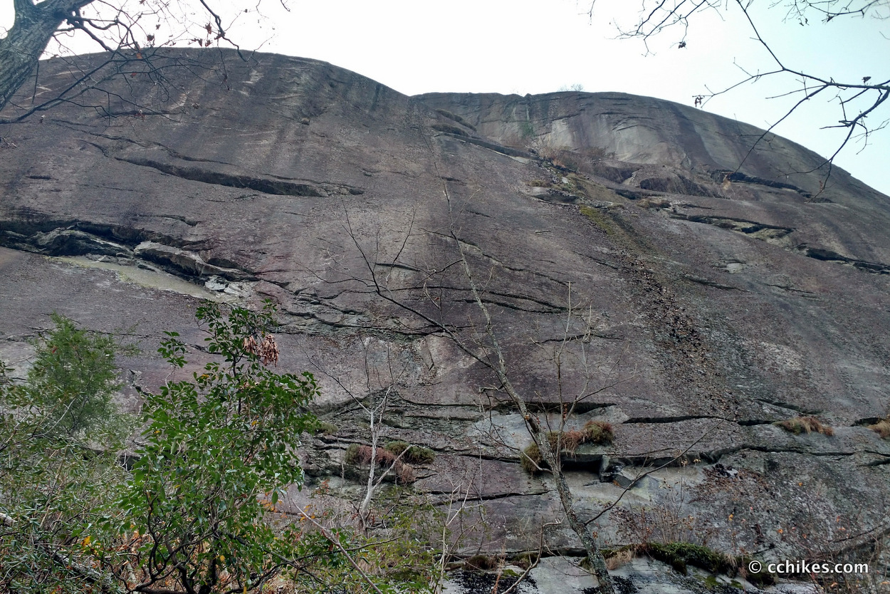
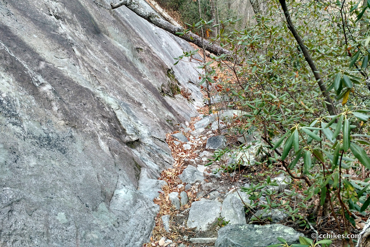
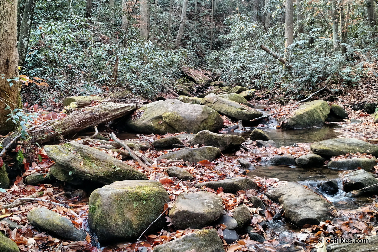
The technical sections of this hike are short, but very steep. Walking down them on freshly fallen leaves only made it more difficult. You will walk directly through a few creek beds, so plan to get wet if you’re hiking the trail in a rainy season. The spectacle here is definitely the bluff face of the mountain. Walking around the stone face is the technical part. If you go clockwise, you will reach this section very soon after starting the loop. If you go counterclockwise, it will be near the end. That’s another reason to go counter-clockwise—save the eye candy for last.
This was a fun and somewhat challenging hike. I saw kids as young as maybe 10 with their families and think it’s safe for anyone around that age or older. I would not bring small dogs, however, due to the challenge of navigating the steep areas.
Navigate
More
Discover more South Carolina trails.
Discover more loop hikes.


Leave a Reply