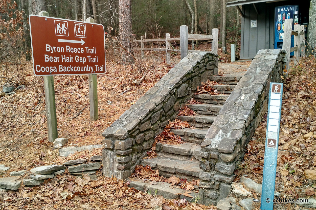


The Coosa Backcountry Trail in Vogel State Park in northeast Georgia features a 12.9-mile loop. The park stresses that this shouldn’t be treated as a day-hike, but I disagree with that. The elevation is moderate-to-strenuous for seasoned hikers, but I can see why casual hikers might find the trail to be much more strenuous and lengthy than they expected.
If I had planned ahead, I would have driven to the park straight from work on Friday afternoon, camped that night, and then hiked the entire trail on Saturday morning. But this trip was an impulse I had when I realized I had no desire to watch week 14 of college football. What an imbalanced and boring season it’s been. So I slept in on Saturday morning and casually drove the 2½ hours to the park with a mind to walk until sunset and then make camp anywhere that looked good.
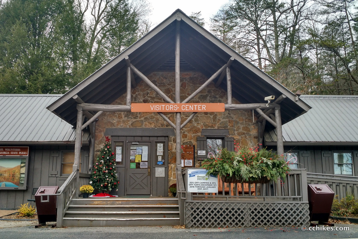
In order to use the trail, hikers must pay a $5 car fee and register. I took care of that at the ranger station.
Orienteering
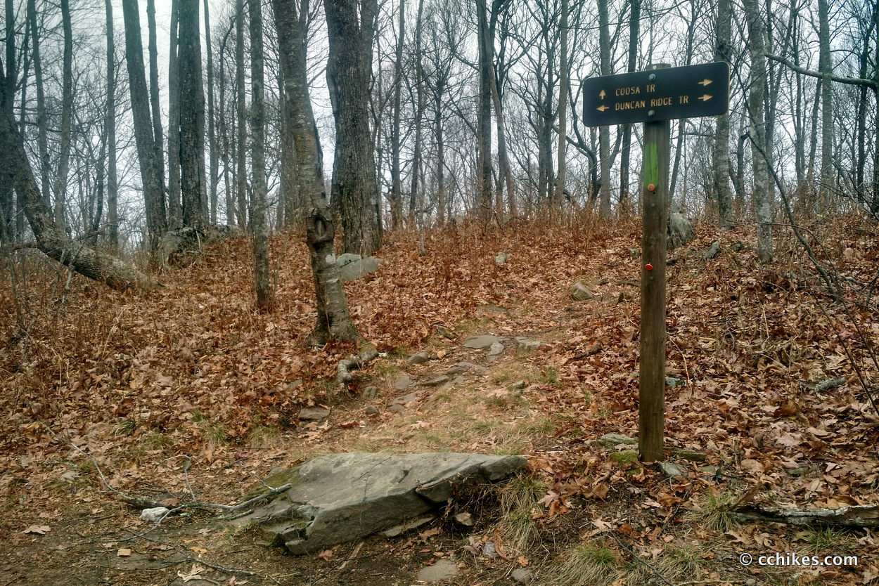
The park puts out a map that you can download. I also downloaded the GPS coordinates so I could compare my present location to the trail map at any time. The rangers were very helpful and circled dependable water sources and preferable campsites on my map. They recommended that I hike the loop counter-clockwise, so I did.
Day 1
 My goal was to hike around 8–10 miles on Saturday and knock the remaining miles out on Sunday morning. That didn’t exactly happen.
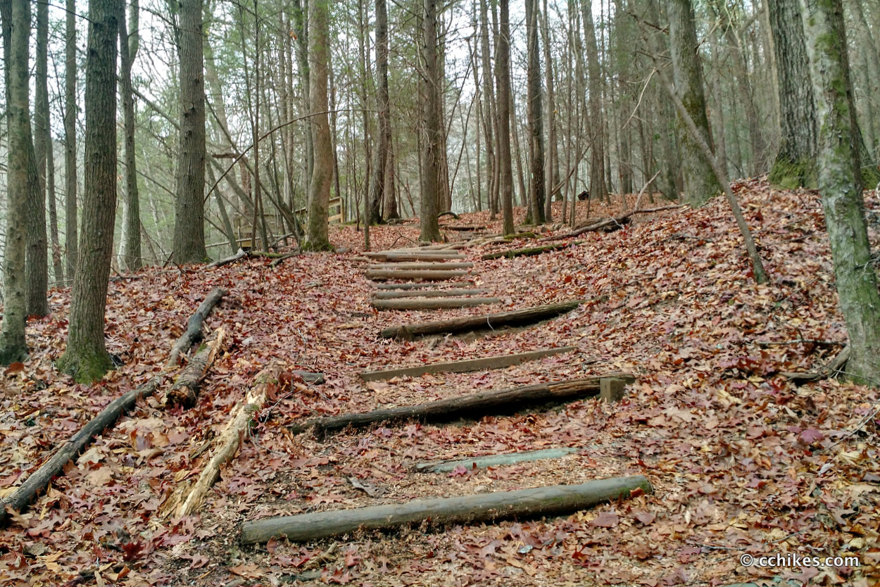
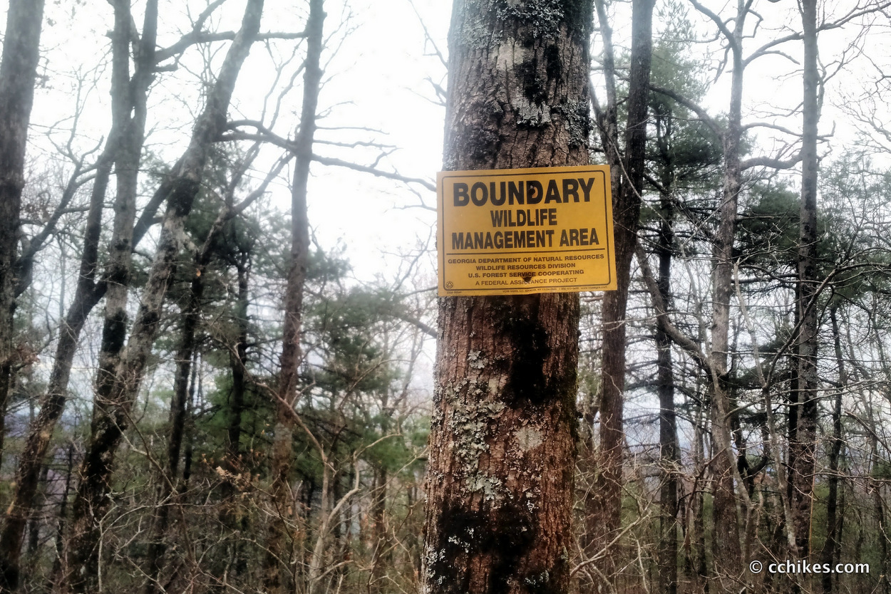
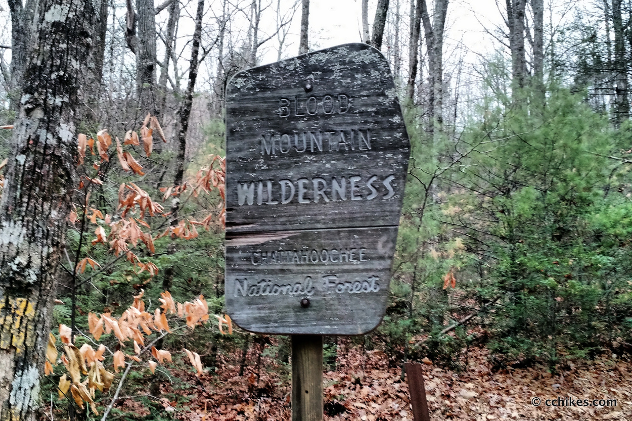
Vogel State Park is very close to the Appalachian Trail. Blood Mountain is the highest point in Georgia on the Appalachian Trail. Considering that this trail crosses into the Blood Mountain Wilderness, I figured I would be doing some elevation. I just didn’t realize how challenging it would be.
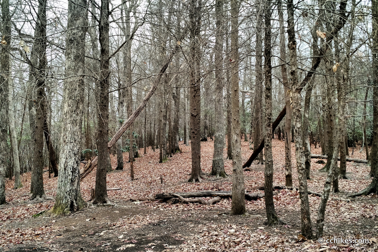
I recently wrote that the third day of the Foothills Trail featured the longest climb I’ve recently made at around 5 miles straight up. Well, I eclipsed that here with more than 8 miles of climbing with little reprieve. But it wasn’t just the duration of the climb that was challenging. It was the grade.
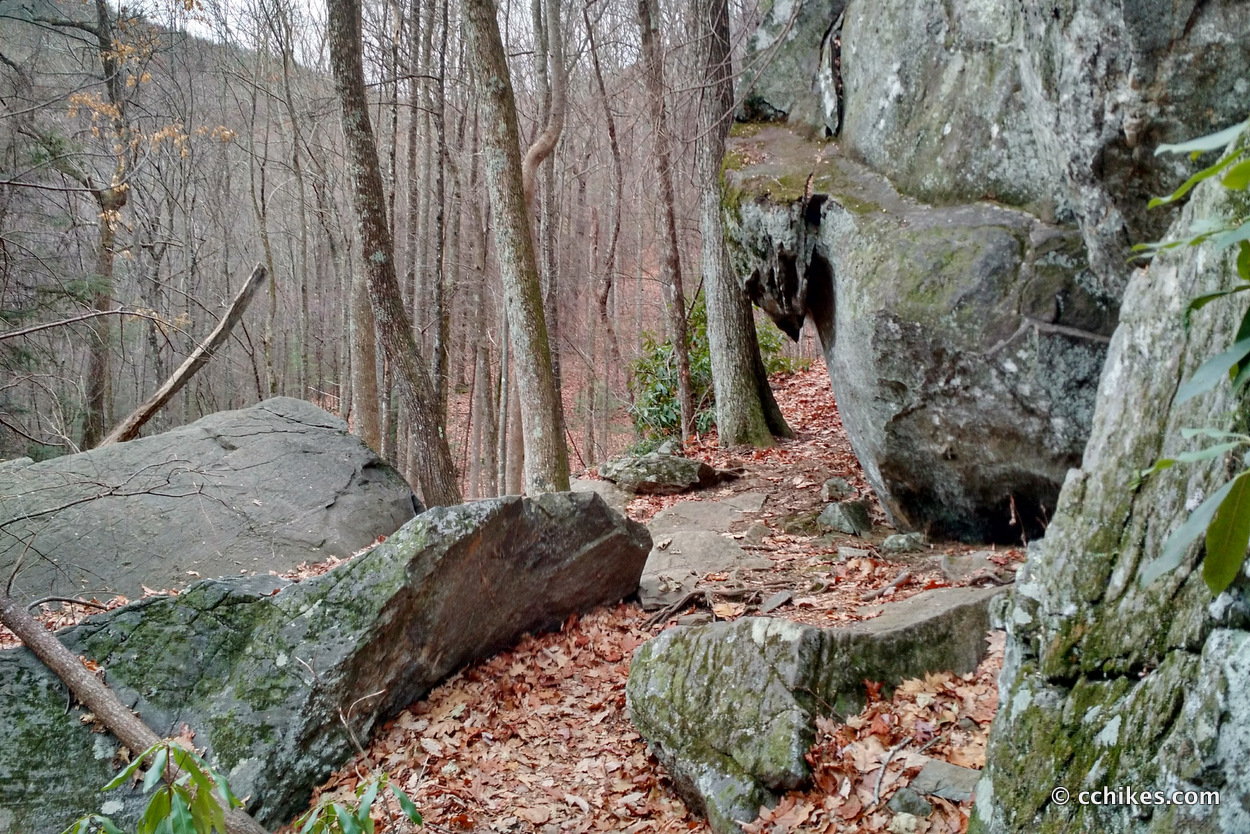
A good portion of the climb was on a 60°+ slope. Can you believe that? Try finding your footing on a freshly fallen bed of leaves on a grade that steep.
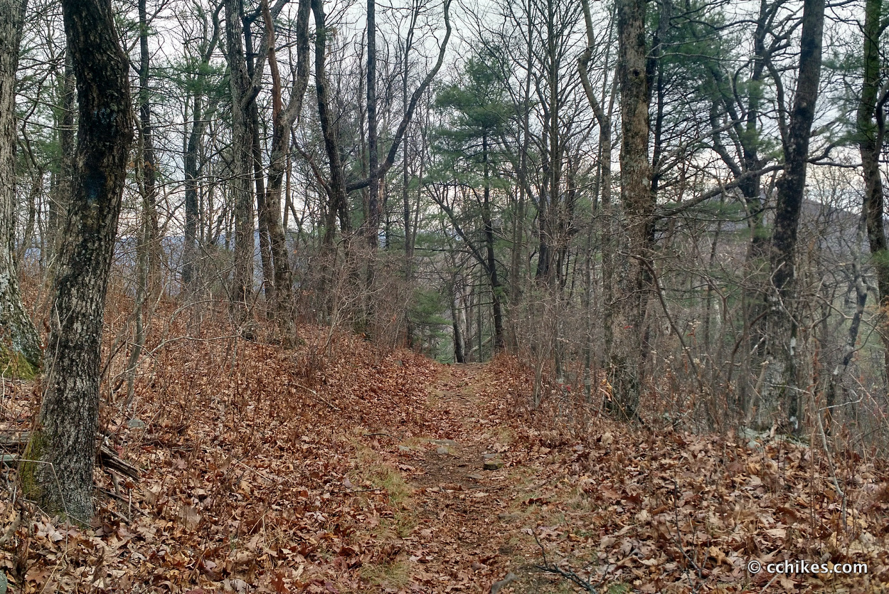
The ascent to Duncan Ridge features some false peaks that suck the enthusiasm right out of you. Just when you think you’re going to get a fun and relatively level ridge walk, the path curves around a bend and goes up into the overcast sky. When you finally reach the summit, there is no view worth photographing.
This climb was always going to be slow going, but I was made to feel even slower when a trail-running couple passed me on my way up the first steep slope. I listen to audiobooks when I hike and I walk pretty fast. I’m almost always the one passing people. Imagine my surprise when a guy flew around me on my right. I think I let out a little scream.
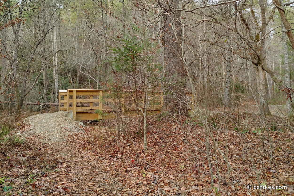
The problem with camping on a loop hike with such high elevation is that the water sources are all in the valleys. And the valley is usually close to the parking lot. I don’t like to carry a lot of water when I hike, especially uphill. By the time I encountered waterside campsites, I was only a few miles from my car. It was only around 3:45 p.m., it looked like it would rain, and the temperature was close to freezing. So I chose to walk out and drive home and spend my night in a warm bed. I don’t regret that decision at all.
Impressions
All in all, this is a fun hike if you’re the kind of person who likes elevation. I’m not sure I would do it again considering the trail to the summit of Blood Mountain is close by and more of a payoff (the summit features an original AT trail shelter built by the CCC in the 1930s), but I would definitely stay at the park again. Between the lake, cottages, trails, and mini-golf, this was a very cool and cheap destination.
I don’t think this particular trail is very kid-friendly. It might be good for large dogs, but probably not for smaller ones. There are several shorter, less challenging trails in the park that are better suited for families.
I started the trail at around 10:30 a.m. and finished a little before 5:00 p.m. That’s 13 miles in around 6½ hours. Statistically speaking, that’s very slow for me. I had to take several breaks to rest and stretch my left knee. I was practically using my trekking poles as crutches on the way down the mountain.
I finished the excellent audiobook, The Circle, on this hike. I highly recommend it for anyone who is ambivalent about the creep of web-based technology into our personal and professional lives.
Navigate
More
Discover more Georgia trails.
Discover more loop hikes.


Leave a Reply