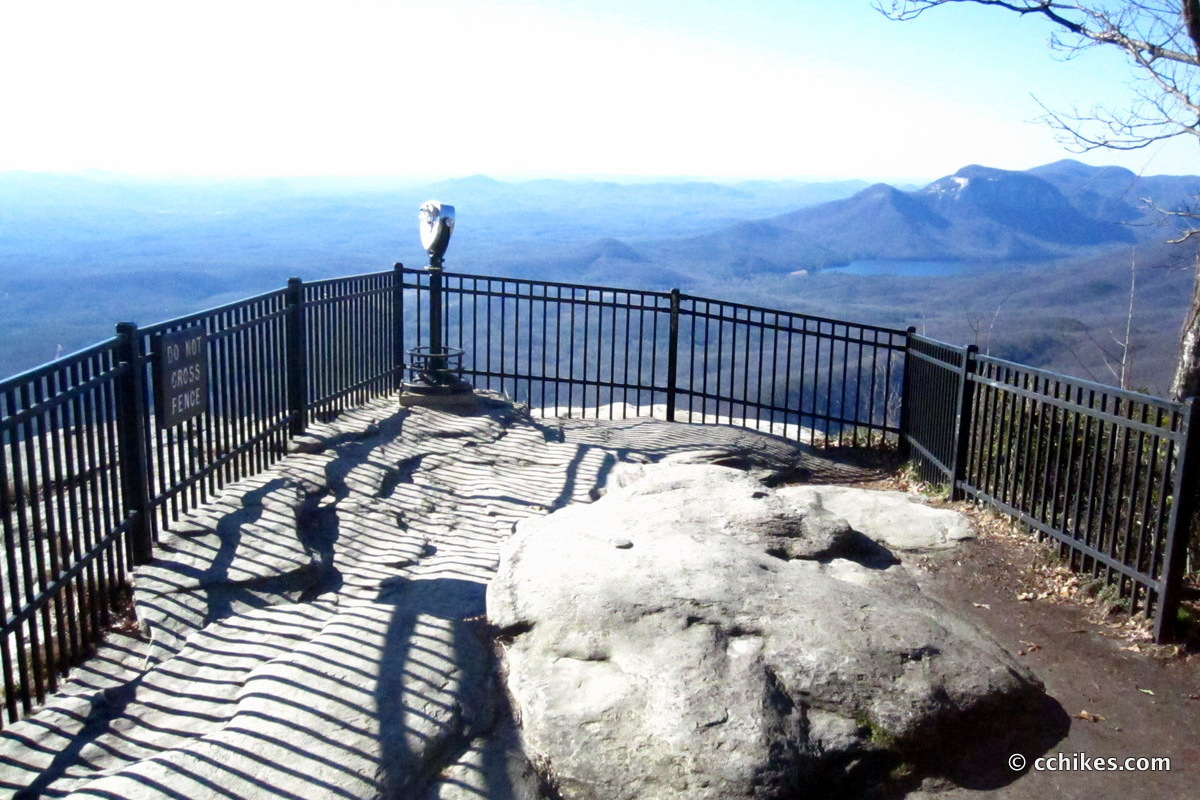
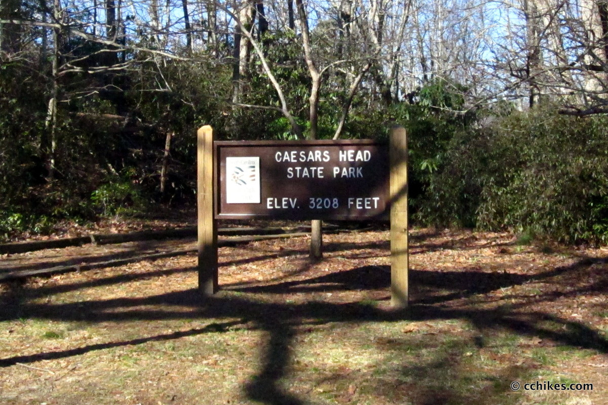

I drive over Caesars Head all the time on my way to Jones Gap State Park, Dupont State Forest, and Table Rock State Park. It’s near the border between North and South Carolina. HWY 276 runs right over the peak and there’s a ranger station with ample parking at the top. There’s an overlook that is right next to the parking lot. It’s not much of a destination in and of itself, but you should get out and stretch your legs if you’re driving by. You can just take in the view or you can do the very short hike around the park.
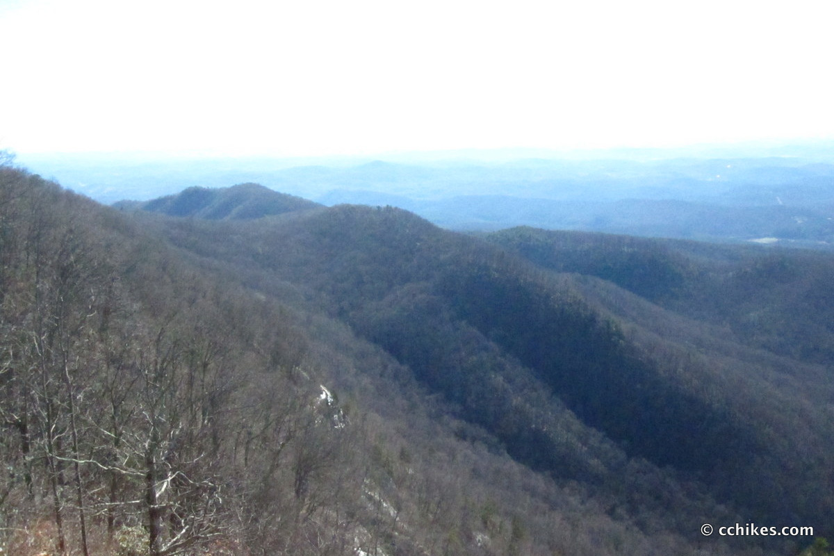
Caesars Head is part of the Mountain Bridge Wilderness Area and trails link all of the nearby attractions. It’s the most extensive trail system in South Carolina, so you can go long or short. Most of the trails are well blazed and hard-trodden. Elevation is the challenge on these trails, but it’s really not too tough, even for inexperienced hikers. If you have trouble with elevation, I highly recommend investing in some trekking poles. The plus-side of elevation is the prevalence of waterfalls.
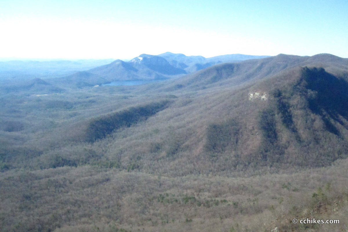
Raven Cliff Falls is less than a mile north of Caesars Head. On a clear day, you can get a gorgeous view of the Blue Ridge Mountain foothills. Visiting these two sites makes a good day trip.
Be careful of pedestrians and cyclists when driving around the area. The parking lot for Raven Cliff Falls overflows onto the roadside and there are lots of people walking into traffic while they look at their phones.


Leave a Reply