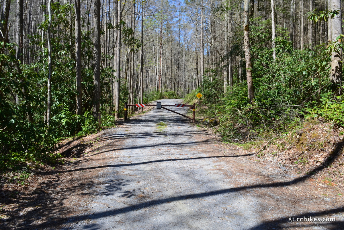

Hickey Fork Trail is in Pisgah National Forest, about 10 miles northeast of Hot Springs, North Carolina. It’s easily accessible by car, but you might have trouble using your GPS in the area. Make sure you screenshot the step-by-step directions in case you lose your signal. You turn off NC HWY 212 and onto Hickey’s Fork Road (SR 1310). You drive a little over a mile on the gravel road until you enter the forest and the road is blocked by a gate. There is room to park to the right of the gate. Don’t block the gate.
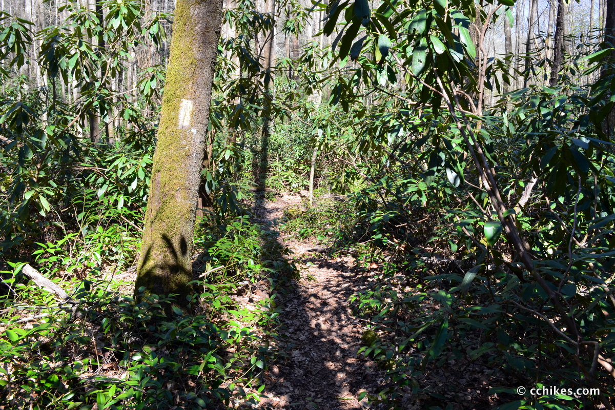
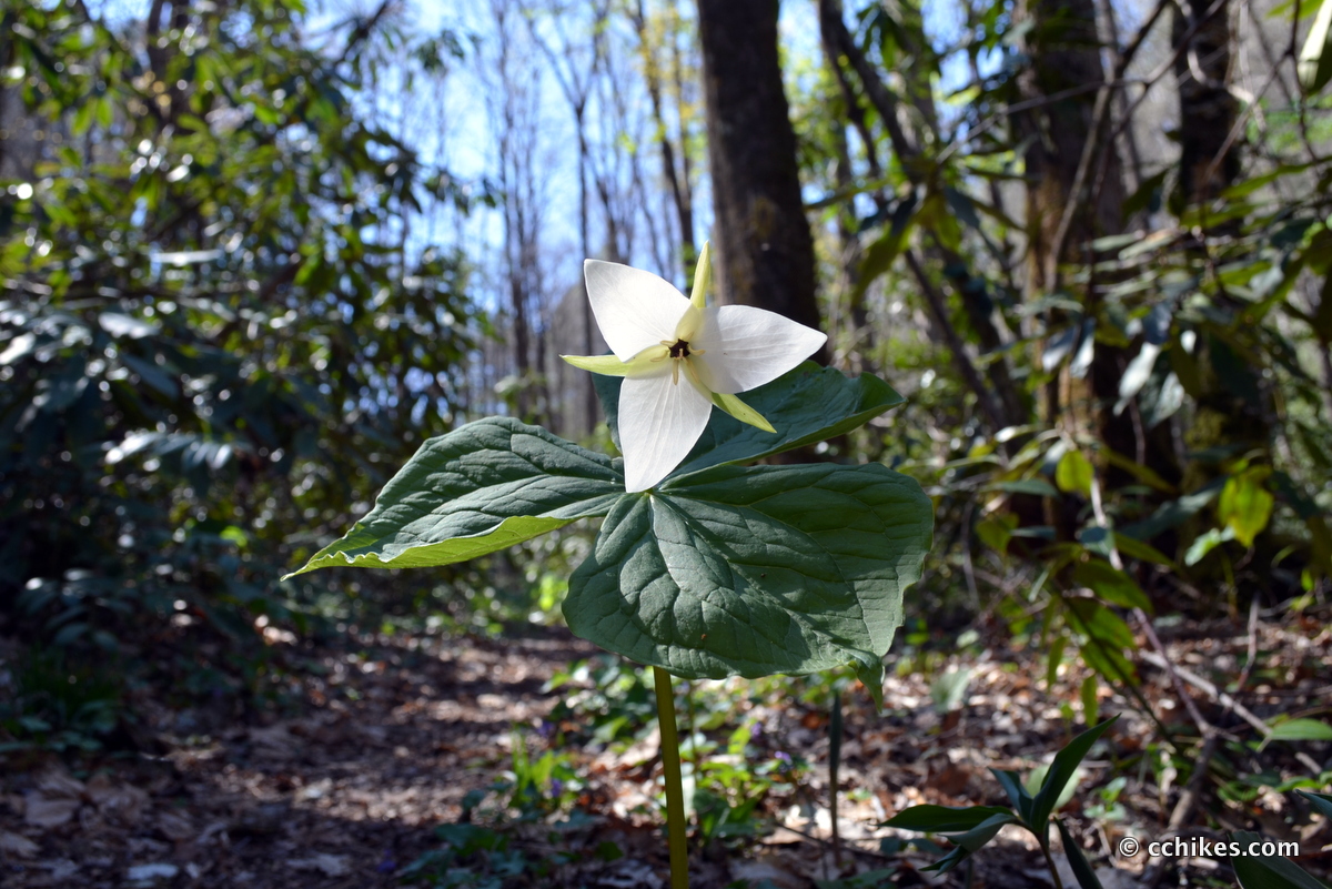
This is not a well-known trail. I was nearly licked to death by a bunch of dogs when I rounded a blind corner on the trail. The owners apologized profusely and said they had never run into anyone else out there before. Based on the overgrowth along the footpath, I had no trouble believing them. I’m not a fan of hiking in long pants, but this trail warrants it.
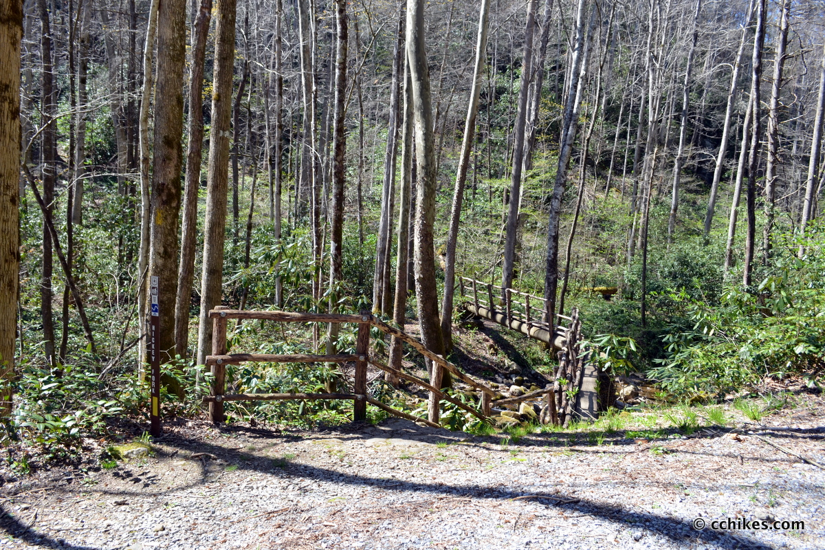
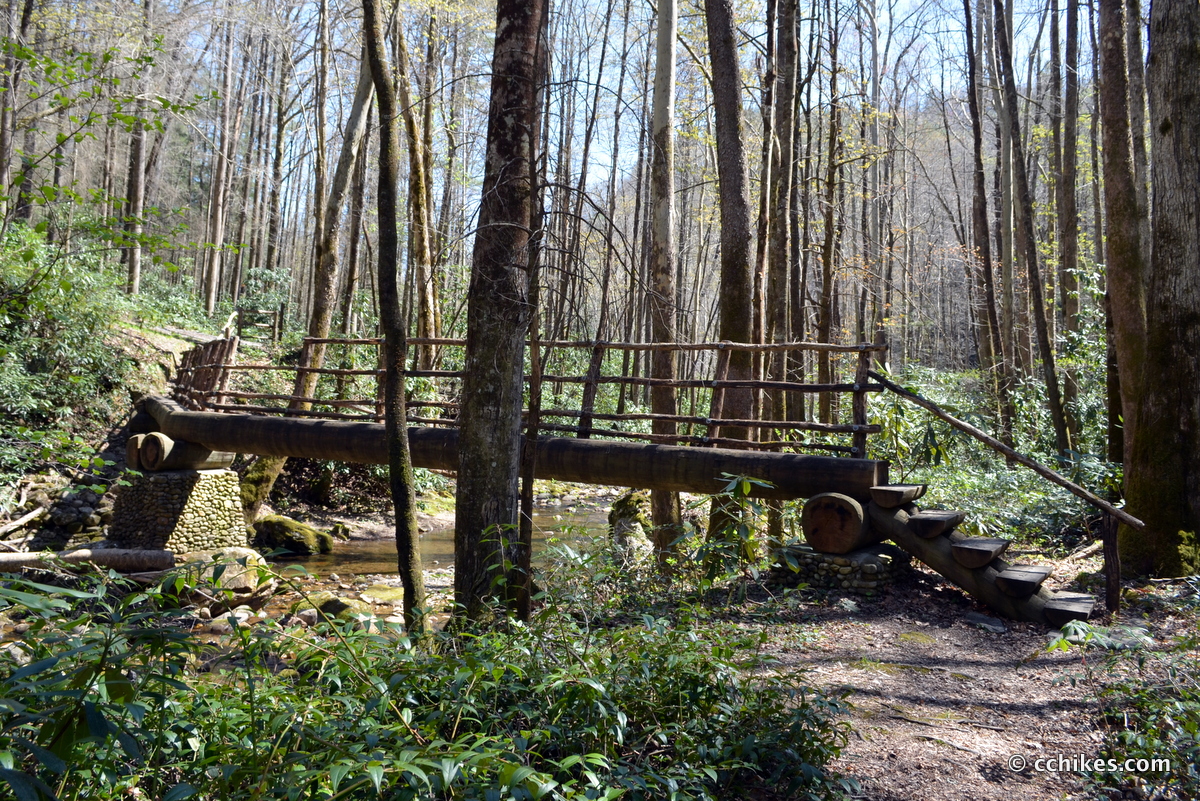
You go around the gate and walk a short distance up the road. The trailhead is on the left and the hike starts with a fun footbridge over East Prong Hickey Fork. The trip is worth it for this alone.
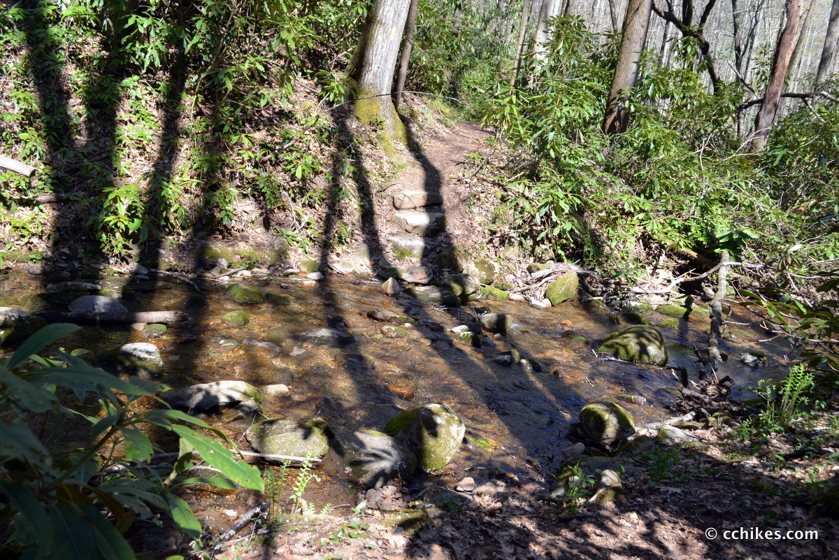
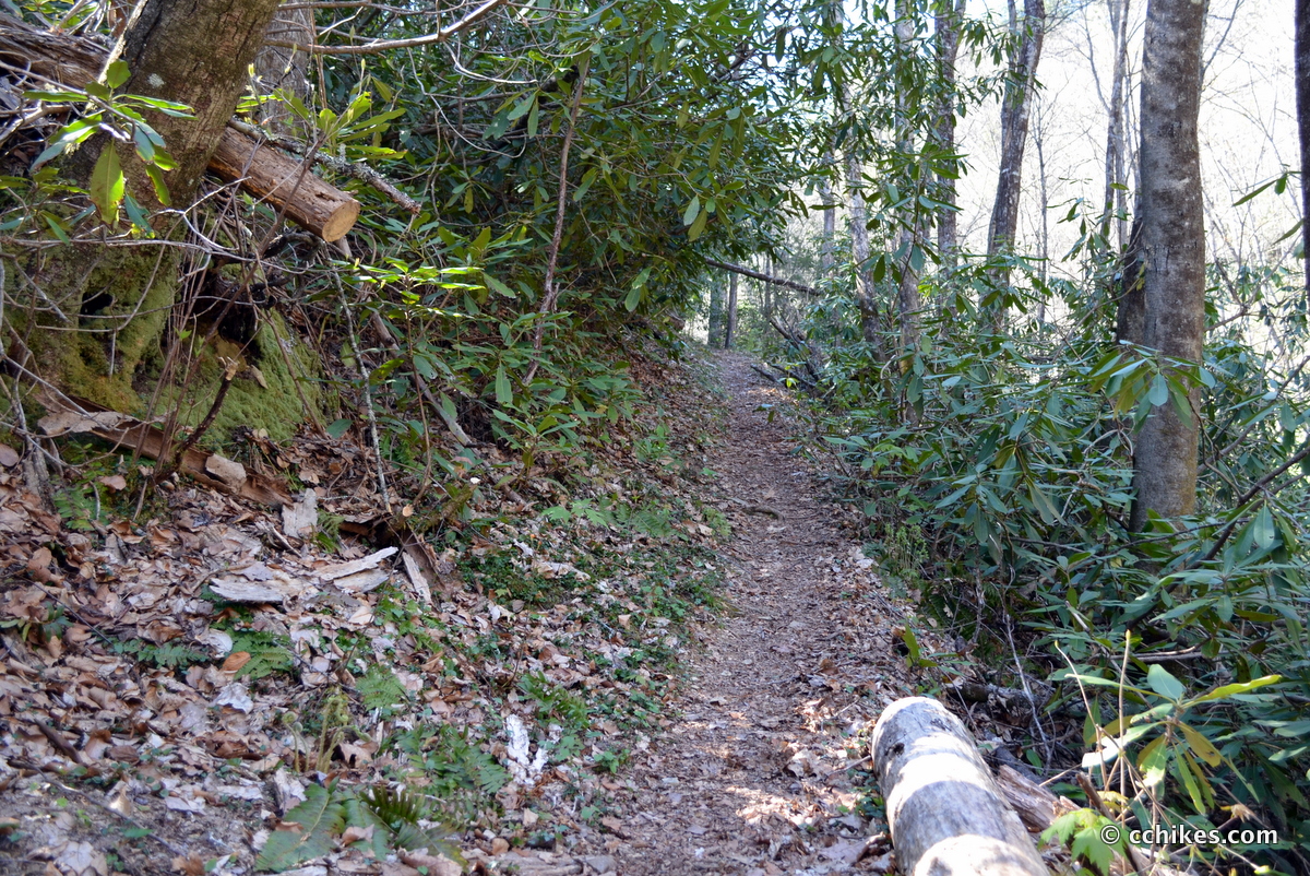
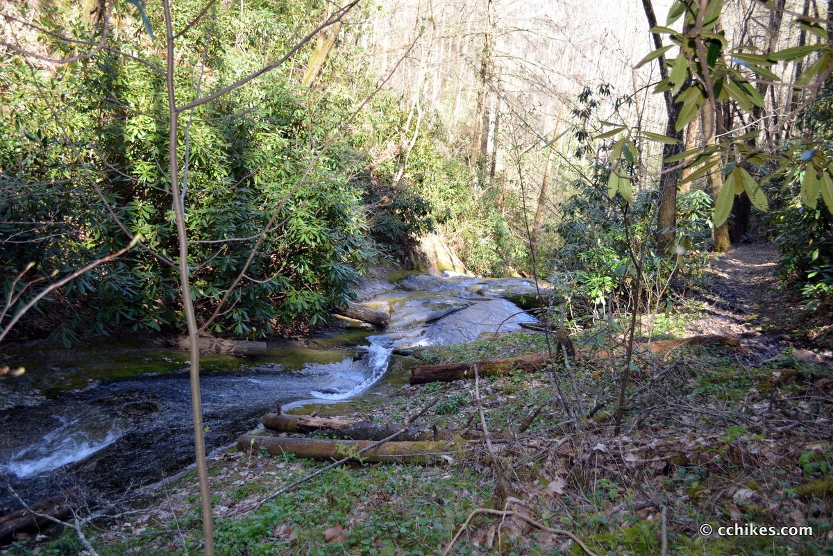
After that, you walk along the mountain contour and do a few switchbacks when it gets steep. The mountainside is pretty sheer at times, making this a questionable hike for small kids. You’ll also cross the water several times. If it has rained a lot recently, you should plan on getting your shoes muddy and wet. It’s a little over a mile to the falls. Around the half-mile mark, the elevation kicks in.
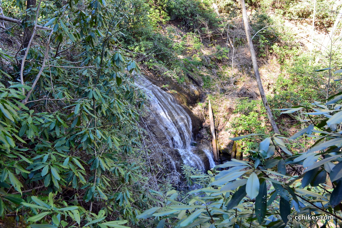
Honestly, this waterfall isn’t much of a spectacle. It’s more like a water slide for most of the trail. Even when it does break into 30-foot falls, you can’t really see anything because of the dense growth. As long as the falls are just a pretext for a bigger adventure, then you won’t be disappointed. If you’re really into photography, then you’re going to have to wade into the water to get decent shots of the falls—and I stress decent. It’s really dark in this forest.
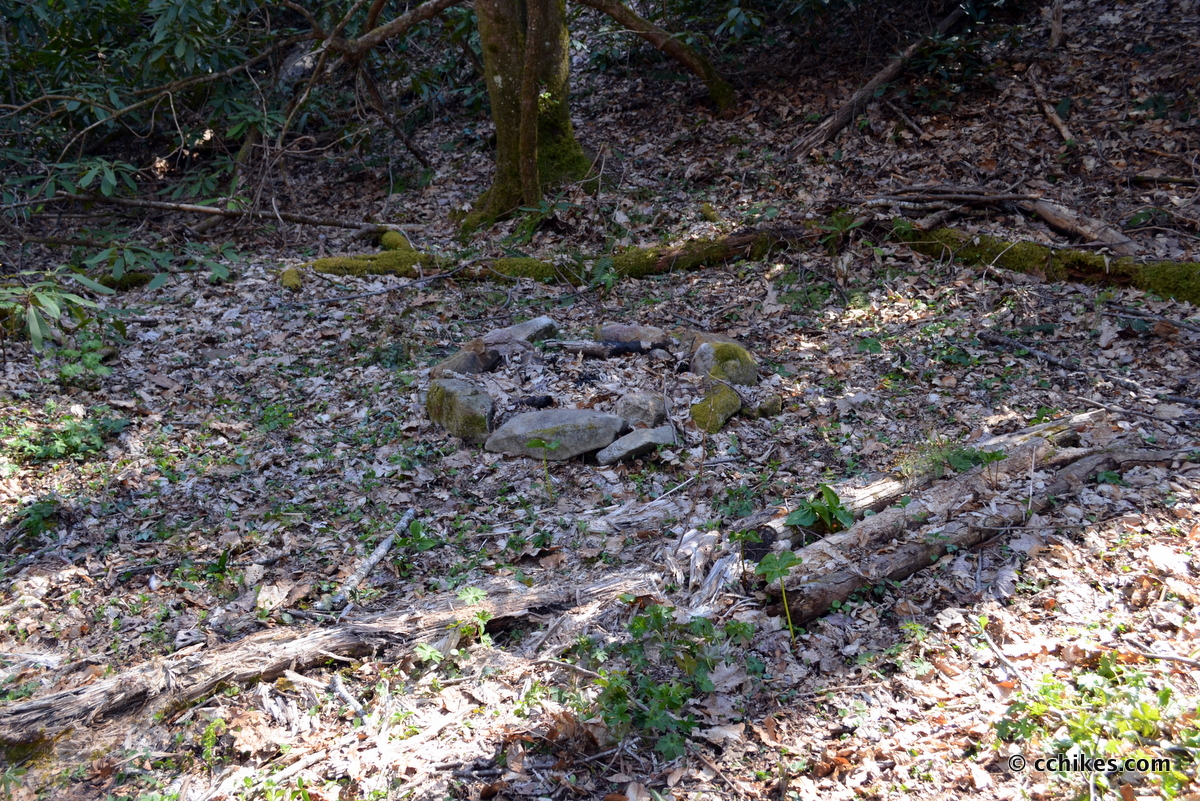
The dog-walkers/hikers told me that they always turn around at the campsite above the falls, so I did too. After the campsite, the trail gets steeper and intersects with other pathways before running into the Appalachian Trail (AT) near Camp Creek Bald. That means you could turn this hike into a several day affair as long as you have someone pick you up at a pre-planned destination. Max Patch, one of the most popular spots on the AT, is nearby. I should add that this area boasts picturesque trout fishing right off the road.
I learned about this trail from North Carolina Waterfalls: A Hiking and Photography Guide.


Winding Stairs Trail • C.C. Hikes
[…] falls that boasts a 75-foot cascade. The problem is that all you see are leaves. It reminds me of Hickey Fork Trail & Falls in the sense that it’s a lot of work for no real payoff. Plus, the falls aren’t really […]