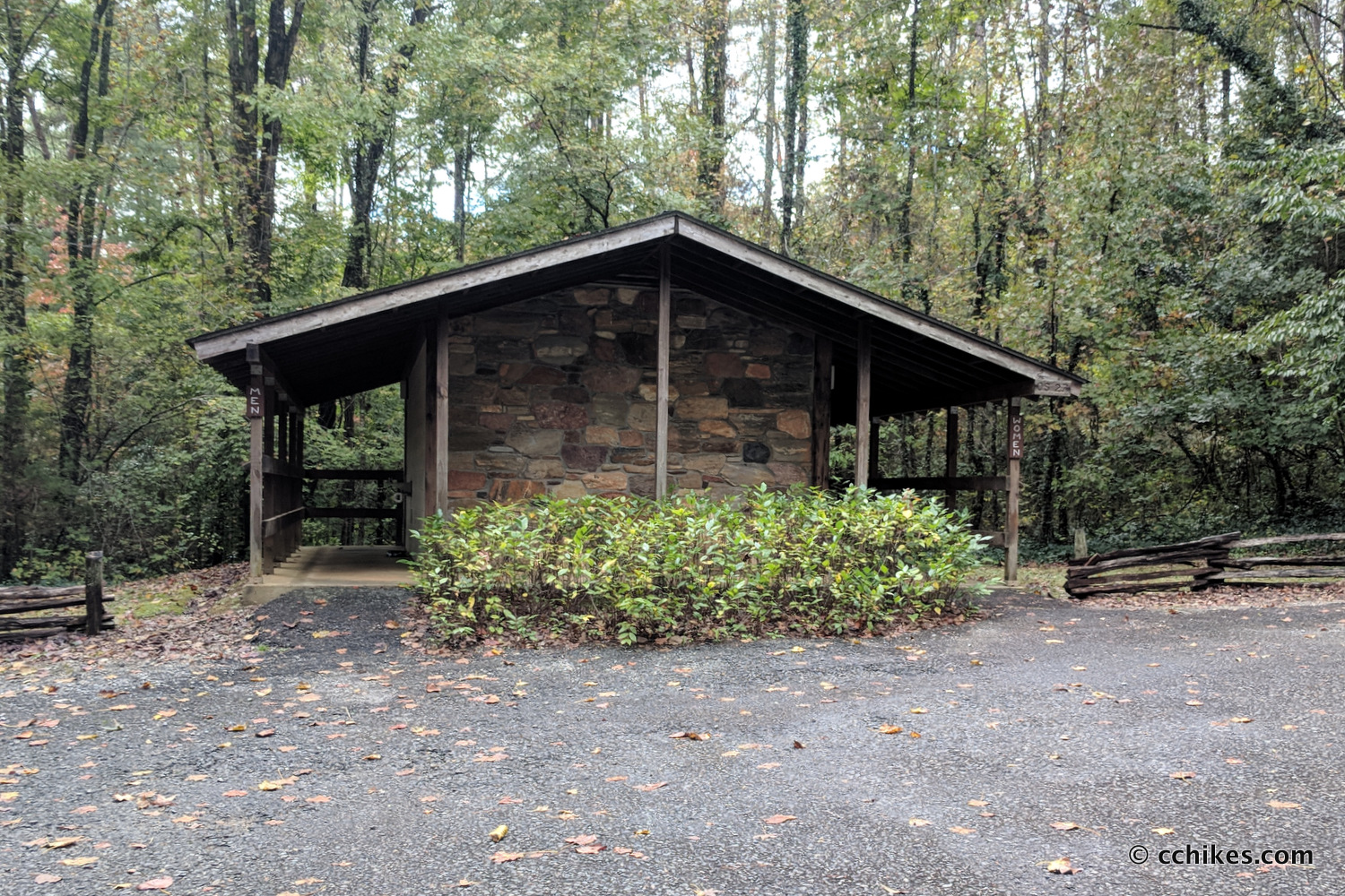
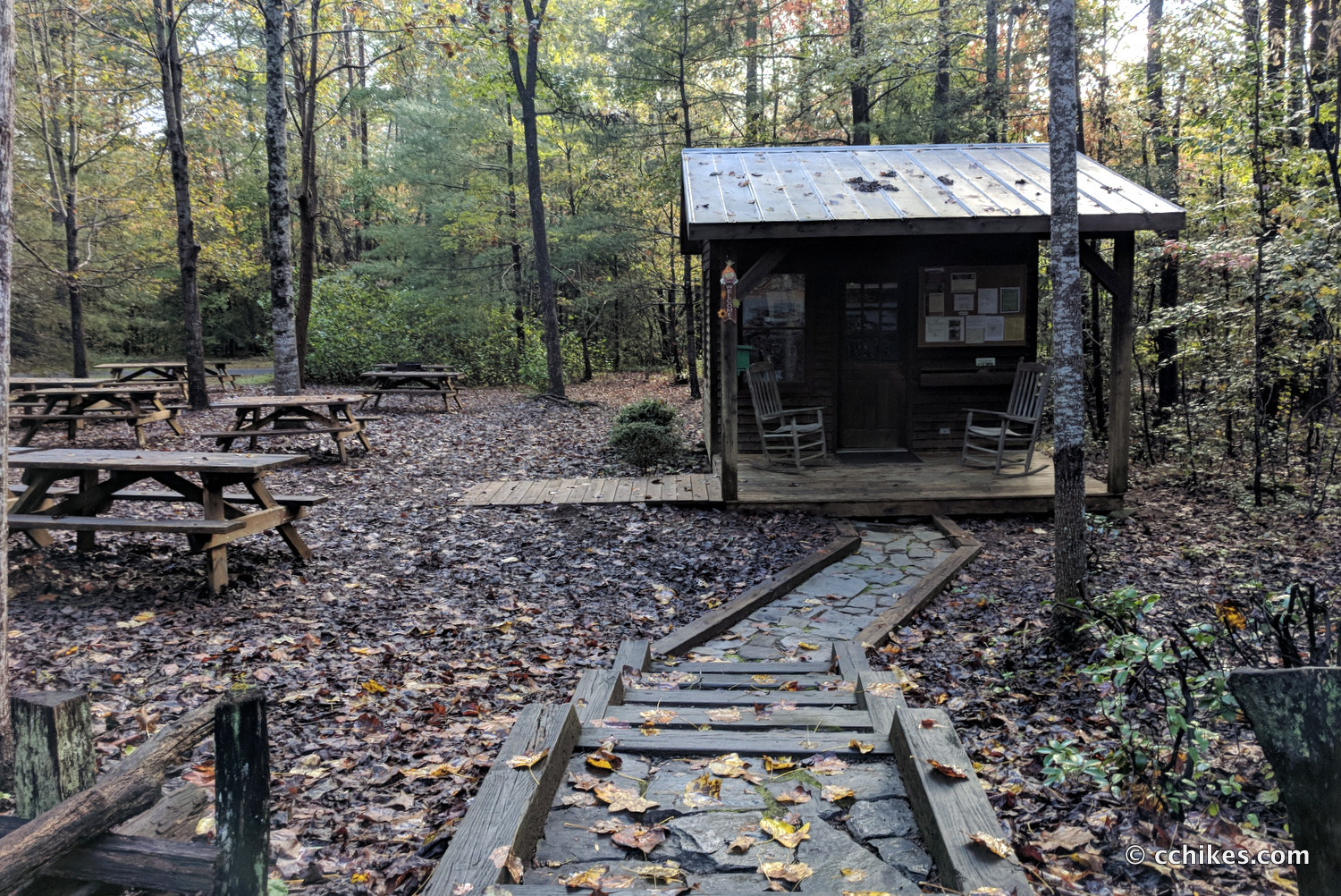

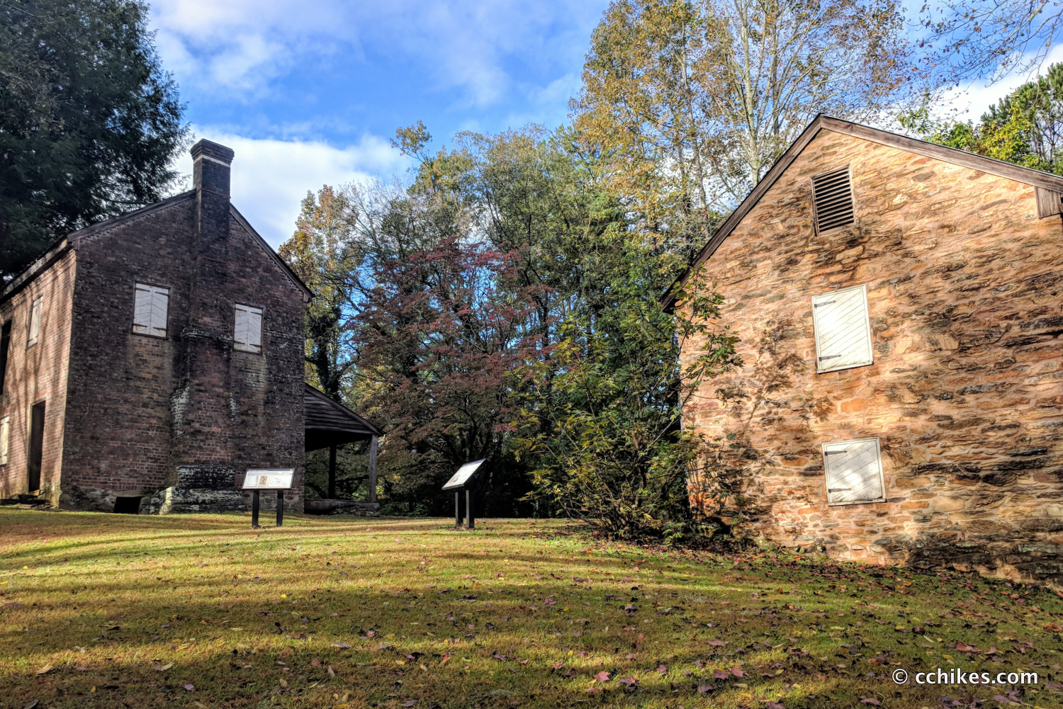

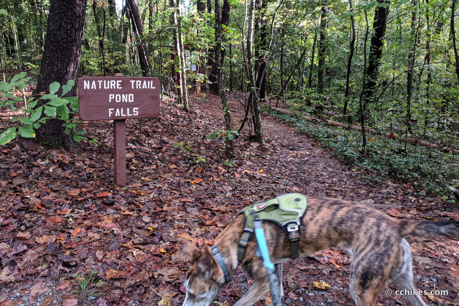
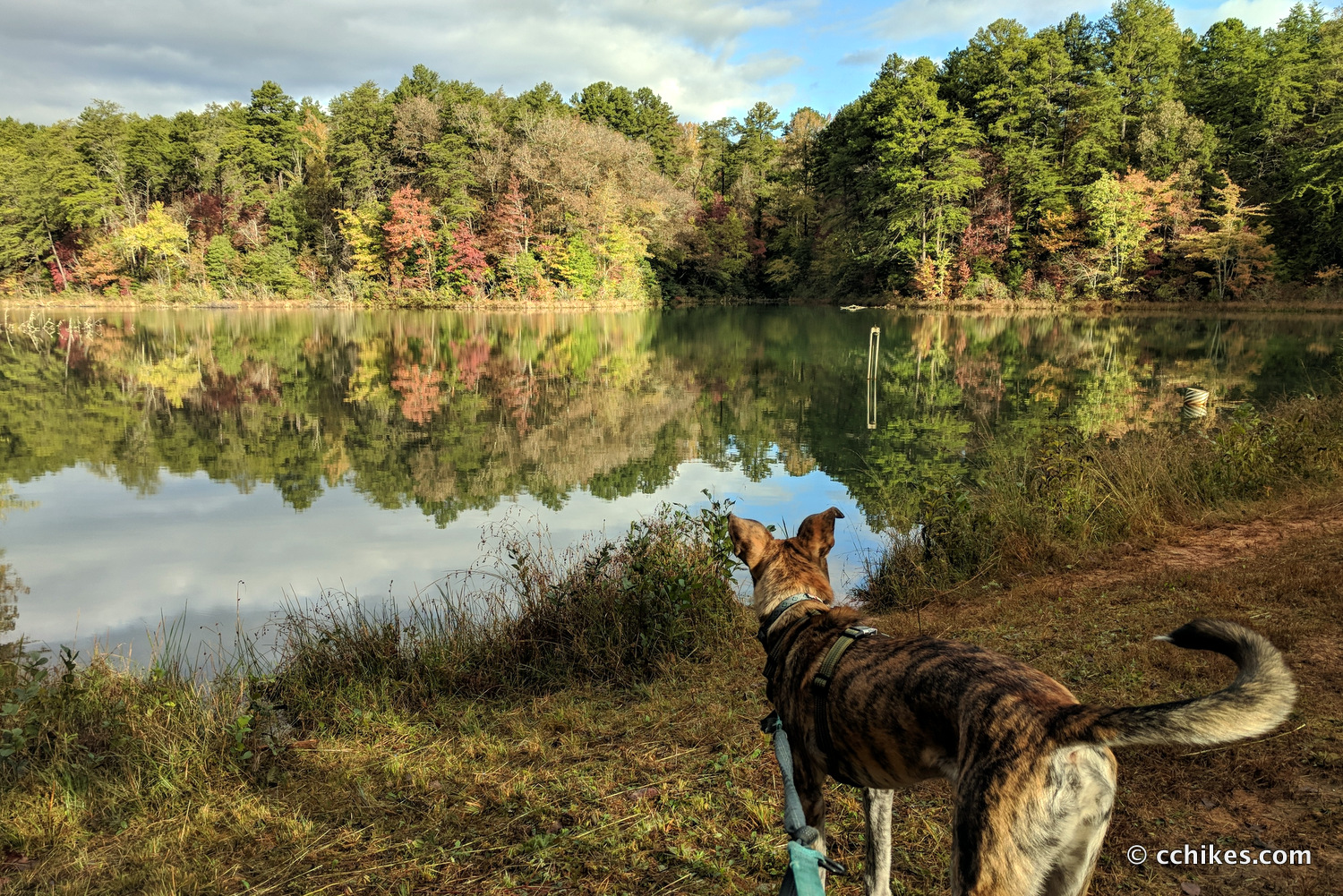
Oconee Station is a Revolutionary War era homestead located in northwest South Carolina. The site features a paved parking lot, picnic tables, restrooms, and a small lake. There is no fee to park at the site, but contributions are welcome. There’s a trail around the lake that connects with the nearby Oconee Station Falls trail. I had never been by the homestead, so I figured I’d drop by to do a 9-mile out-and-back hike that would take me past two waterfalls and into Oconee State Park.
This is an easy-to-moderate hike that is mostly flat aside from one long climb up the mountain. If that sounds contradictory, it’s because most of the hike is unusually flat. But there’s a 1½-mile section that climbs from the valley floor to the ridgeline and that part is fairly strenuous. But once you’re on top, it’s pretty flat again. Even when you’re climbing, it seems to level off to let you catch your breath.
Orienteering
I relied on my own GPS map ↗ on my smartphone to track my progress on the trail. Many people don’t know this, but you don’t need an internet connection to ping GPS. It even works while your phone is in airplane mode. This GPS map showed me exactly where I was on the trail at all times. Feel free to copy this map or download the location data points and import them into your preferred GPS app. These step-by-step instructions will show you how to do that.
This map actually contains several trails and waterfalls. The relevant starting point is located at the map point below. You can navigate to that. Once on the trail, use the map on your smartphone and it’s easy to follow along. Unlike so many trails that I post on this website, you should have a strong cell signal the entire hike.
As you know, tech can malfunction, break, or run out of power. It’s prudent to take a contour map and a declination-correcting compass on your adventures as well.
If you shop through any Amazon link on this website, you support me at no cost to yourself. Learn more in my disclosure.


Directions
Park at the Oconee Station lot. As you’re pulling into the lot, look to the left and you’ll see the trail. Walk around the homestead and then take the trail down the hill and across the street. You’ll see the lake. You can go left of the lake and follow the signs to the falls, but you can also take a short trail around the lake that meets back up with the main trail. I was trying to wear out a dog, so I took the long way whenever possible.
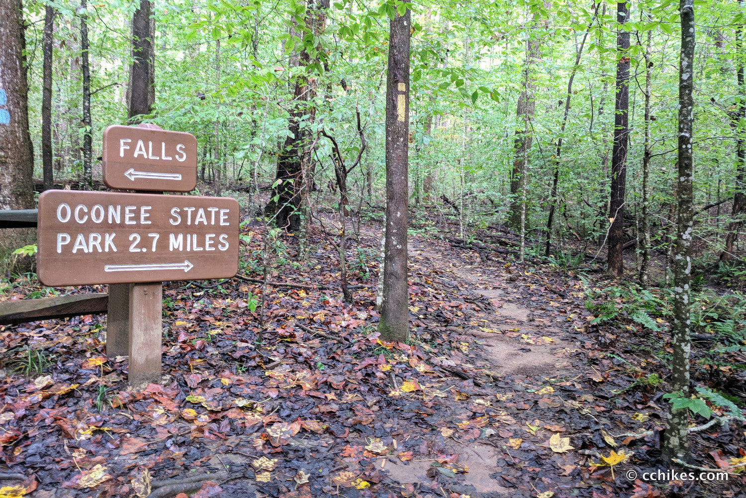
You’ll eventually see a sign that points you toward the falls. You’ll cross the street (just down the road from the pull-off for Oconee Station) and follow the blue blazes until you get to the falls. You’ll pass an intersection with the Palmetto Trail, which is what you’ll take to Oconee State Park after visiting the falls.
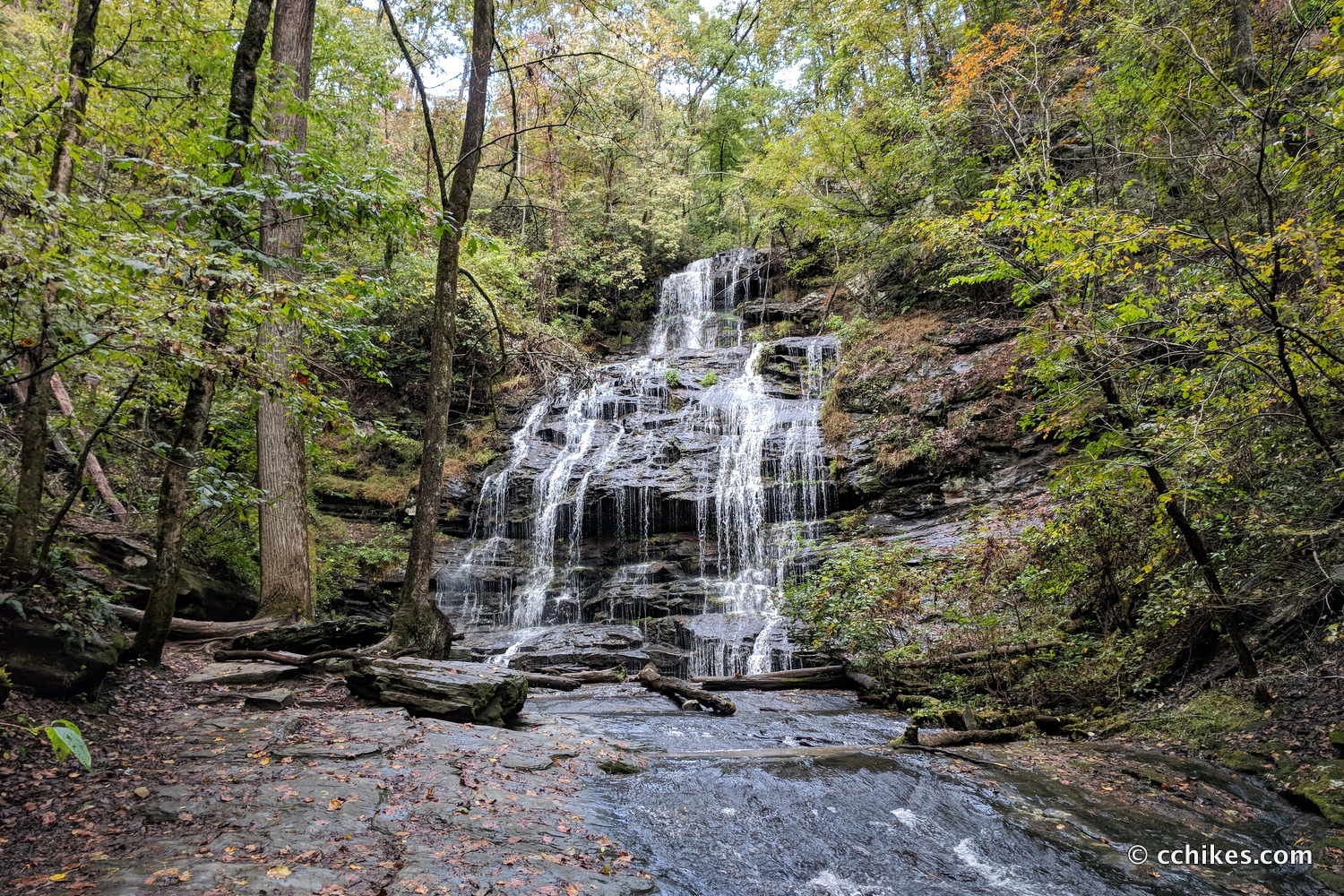
Oconee Station Falls is a 60-foot cascade that is very easy to access, so expect to see other people there unless you’re there very early in the day. There is ample room to explore the base and the top of the falls, but there’s no pool that would make this a fun swimming hole in the summer.
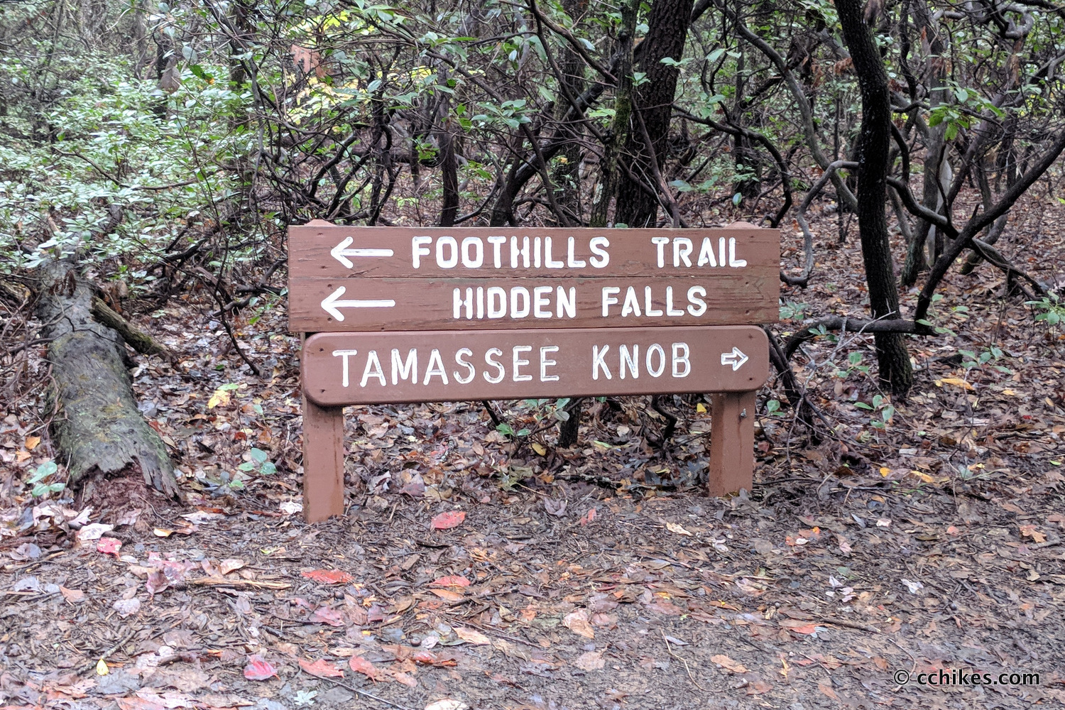
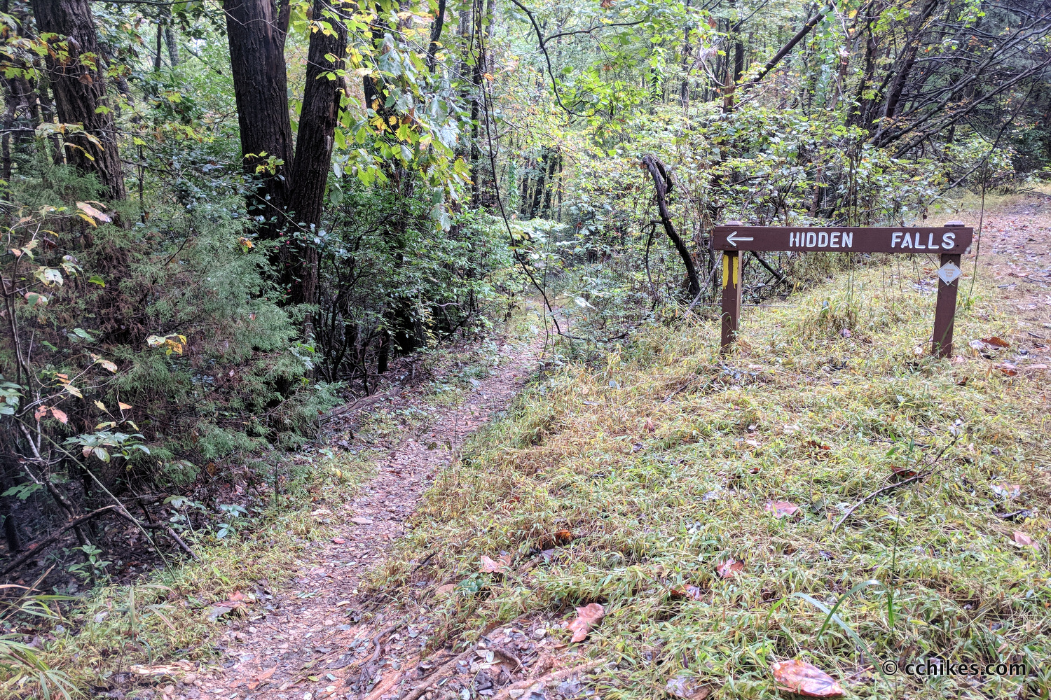
Backtrack to the Palmetto Trail and turn left to ascend the mountain. This is the only moderate-to-strenuous part of the hike. Just grind it out. If you’re there in the winter when the leaves are off the trees, the view will be nice. Remain on the trail until you enter Oconee State Park. You’ll eventually reach a trail intersection. You will turn right and be greeted with a sign for the Foothills Trail and Hidden Falls. Follow the instructions on the sign (white and yellow blazes). This trail will lead to a forestry road where you’ll turn right and walk until you see another sign for Hidden Falls on the left. Take that trail downhill until you reach the falls.
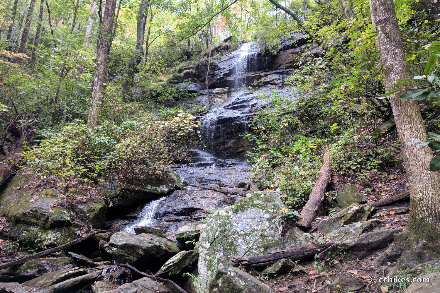
Hidden Falls is another 60-foot cascade. Unlike Oconee Station Falls, there isn’t much room to sit and relax. Take in the scenery, snap your photo, and walk back to your car at Oconee Station.
Impressions
This was a fun little hike. There are alternate trailheads that make the mileage shorter for both waterfalls, but I liked squeezing them into one hike. The dog and I were hiking for speed and this out-and-back hike was well suited to that task. Plus, we squeezed in a little history at the Oconee Station homestead. That’s always welcome.
This is near the Mountain Rest area of South Carolina. It is filled with waterfalls. You can use my GPS map above to piece together a weekend trip full of sightseeing and camping at Burrell’s Ford. You could also pick up this book to create your own getaways. I personally own this book and highly recommend it.


10 Underrated South Carolina State Parks that are Worth Visiting Any Time of the Year » City Travel Hub
[…] The enchanting Station Cove Falls at the Oconee Station (Source) […]