
Pilot Cove/Slate Rock Loop is a 7+ mile series of trails in Pisgah National Forest near Mills River, North Carolina. This area of the forest is much less popular than the traditional attractions along US 276 and the Blue Ridge Parkway. As such, it offers more seclusion. I visited on Memorial Day and only saw a few other people on the trail.
Official roadside campgrounds abound in this area and you can find many primitive campsites in the forest. This trail actually features two of the best primitive campsites I’ve encountered, and I’m ambivalent about sharing the locations. But since I’m 67% certain that I’m the only person who references this website, I’ll go ahead and link the GPS coordinates below.
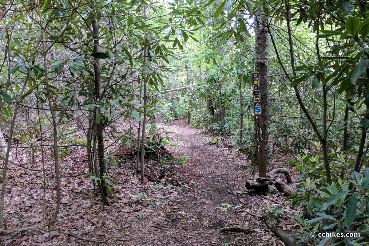
Neither Pilot Cove nor Slate Rock Trails and particularly noteworthy on their own, but they can be linked together to form a nice little loop hike if you incorporate ~2 miles of relatively level forestry road walking. You can start this trail at the northeast trailhead or the southeast one. I started at the southeast trailhead because that meant I steadily walked uphill for the first half of the trail and then walked downhill the second half. I also hiked the loop counter-clockwise.
To access the southeastern trailhead, navigate to the map point below. You will need to drive 5+ miles of forestry roads to access the trailhead. The gravel road is well graded and any car should have enough clearance. There is no cell reception except at elevation, so get your navigation app up and running while you’re still in civilization. If you’re coming from the east (I-26), you will pass the North Mills River Recreation Area before encountering the forestry roads. That park features bathrooms and other amenities.
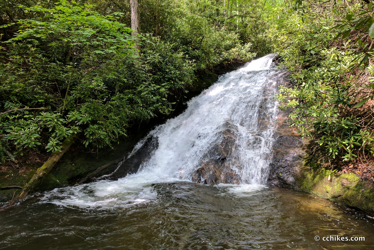
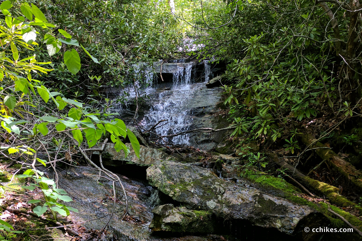
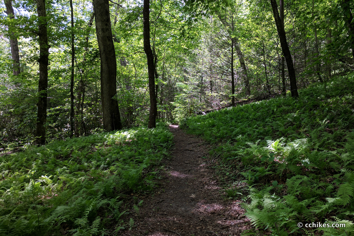
Park anywhere near the trailhead as long as you aren’t blocking traffic. If you park directly in front of the trailhead, you run the risk of getting blocked in by other visitors. Take the Pilot Cove/Slate Rock trail as it follows the stream. The trail steadily ascends the mountain. You will soon reach a small waterfall and swimming hole that is accessible via a steep embankment on your left.
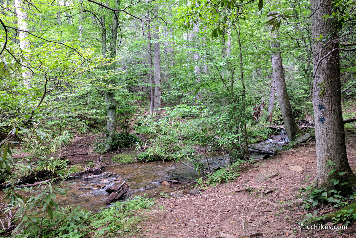
Not too far after that, you’ll reach an idyllic, grassy campsite that bisects the stream (35.39276,-82.70037, open in Google Maps). This area will hold several tents and hammocks. If that campsite turns out to be taken, there’s another great site further upstream (35.39647,-82.70841, open in Google Maps) that is even larger and features a metal fire ring.
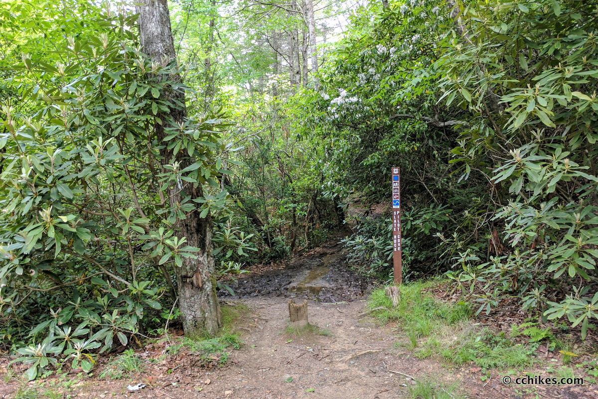
Eventually, Slate Rock Trail (blue blaze) crosses the stream to the left—see the picture above with the double blue blaze—and starts ascending the mountain in earnest. I should stress that this is only a moderate climb. At the summit, you can continue straight on Slate Rock or turn left on Pilot Cove Loop (yellow blaze). Both trails will take you to the same place. Pilot Cove Loop shortens the loop by over a mile and supposedly offers a cliff face overlook before reconnecting with Slate Rock just before the intersection with National Forest Road.
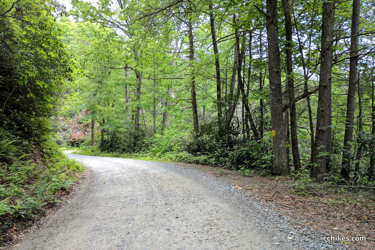
I wanted to do bigger miles, so I stayed on Slate Rock Trail and took it in a wider loop to the road. At the road, you take a left and walk back to the trailhead and your car. This walk is surprisingly flat and quite enjoyable.
The only issue you might run into is annoying biting insects in the warmer months, so bring some bug spray.
Navigate
More
Discover more loop hikes.
Discover more North Carolina trails.
Discover more waterfalls.


Leave a Reply