


I’ve been wanting to get in some big miles while the weather is unseasonably warm and sunny. I had plans in Asheville on Friday night, so I figured I’d just drive to a campsite afterward. That way I could hit the trail at dawn. I had a pretty simple loop in mind (it turned out to be around 24 miles). I planned to hike the Art Loeb Trail from Black Balsam Knob on the Blue Ridge Parkway north through the Shining Rock Wilderness to the northern terminus at the Daniel Boone Camp. Then I would take the Little East Fork Trail south to Ivestor Gap and back to the Art Loeb/Black Balsam parking area.
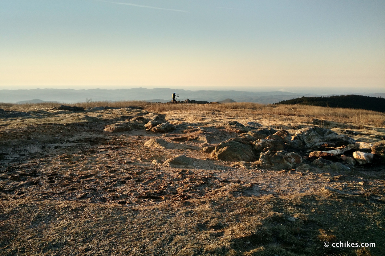
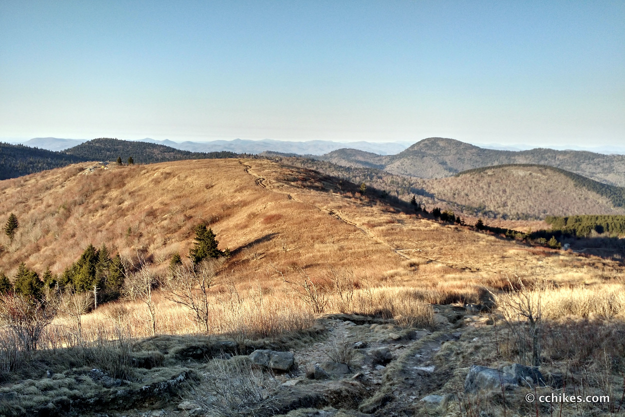
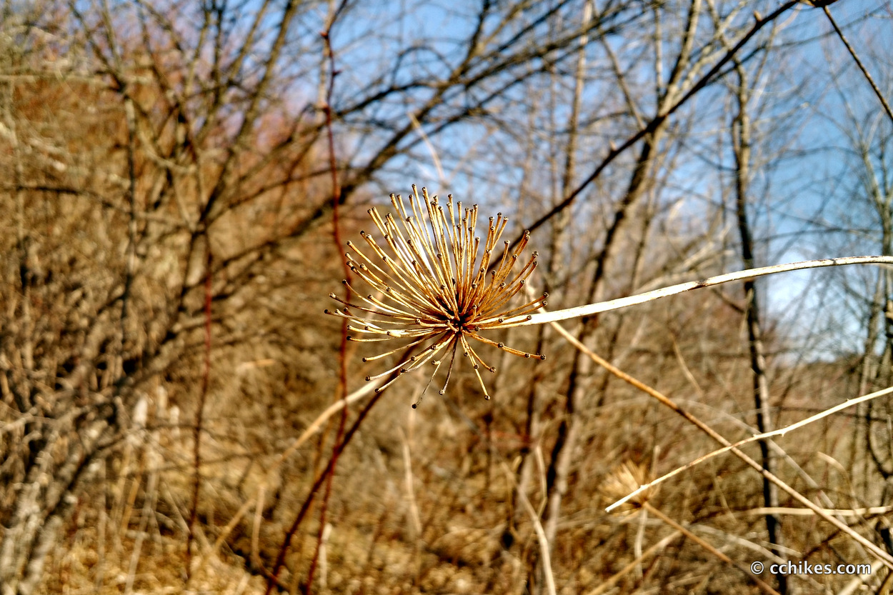
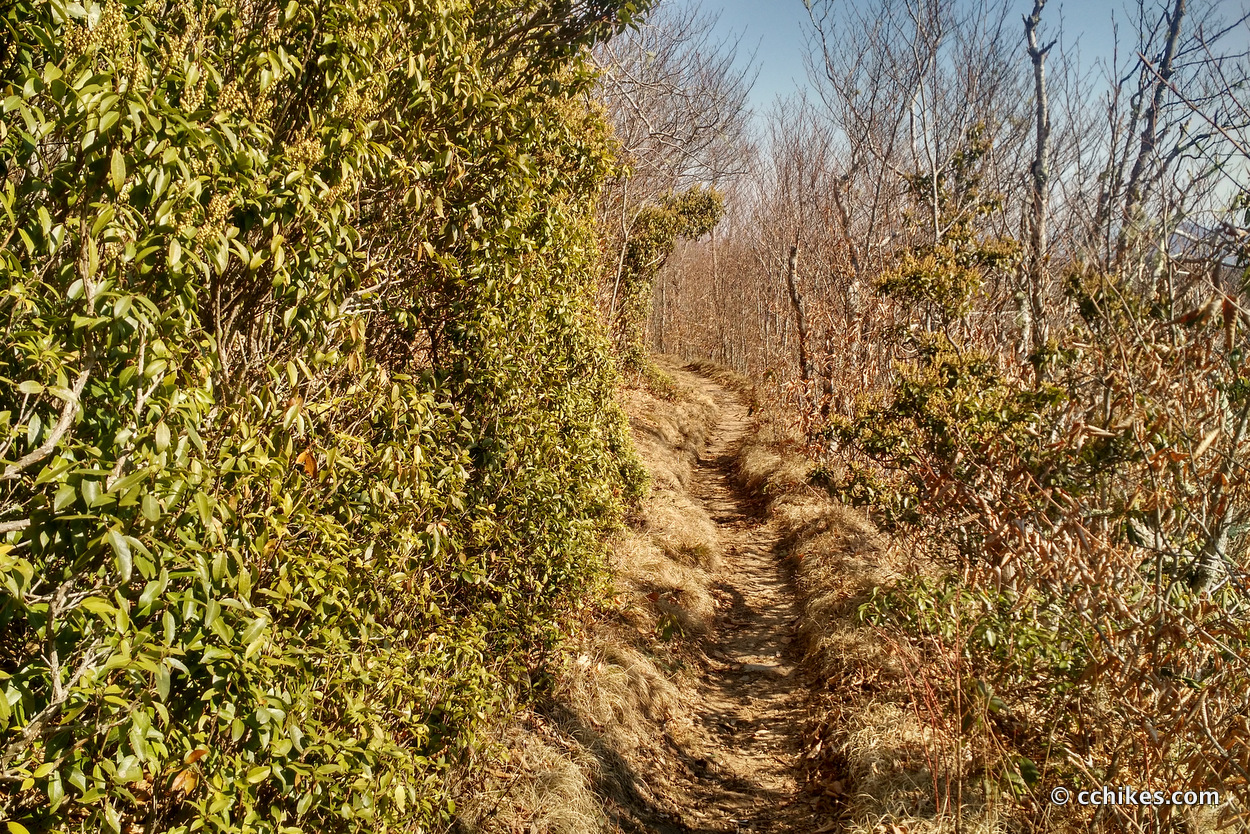
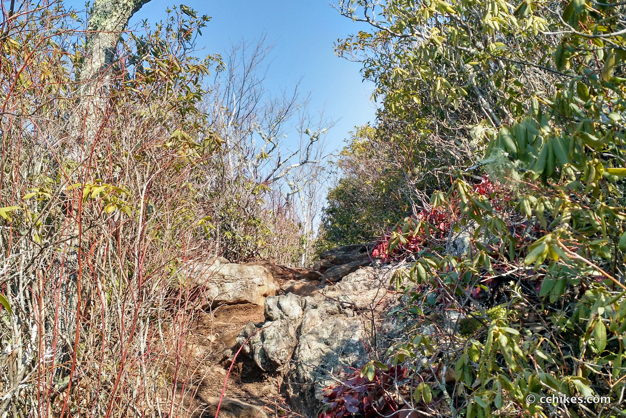
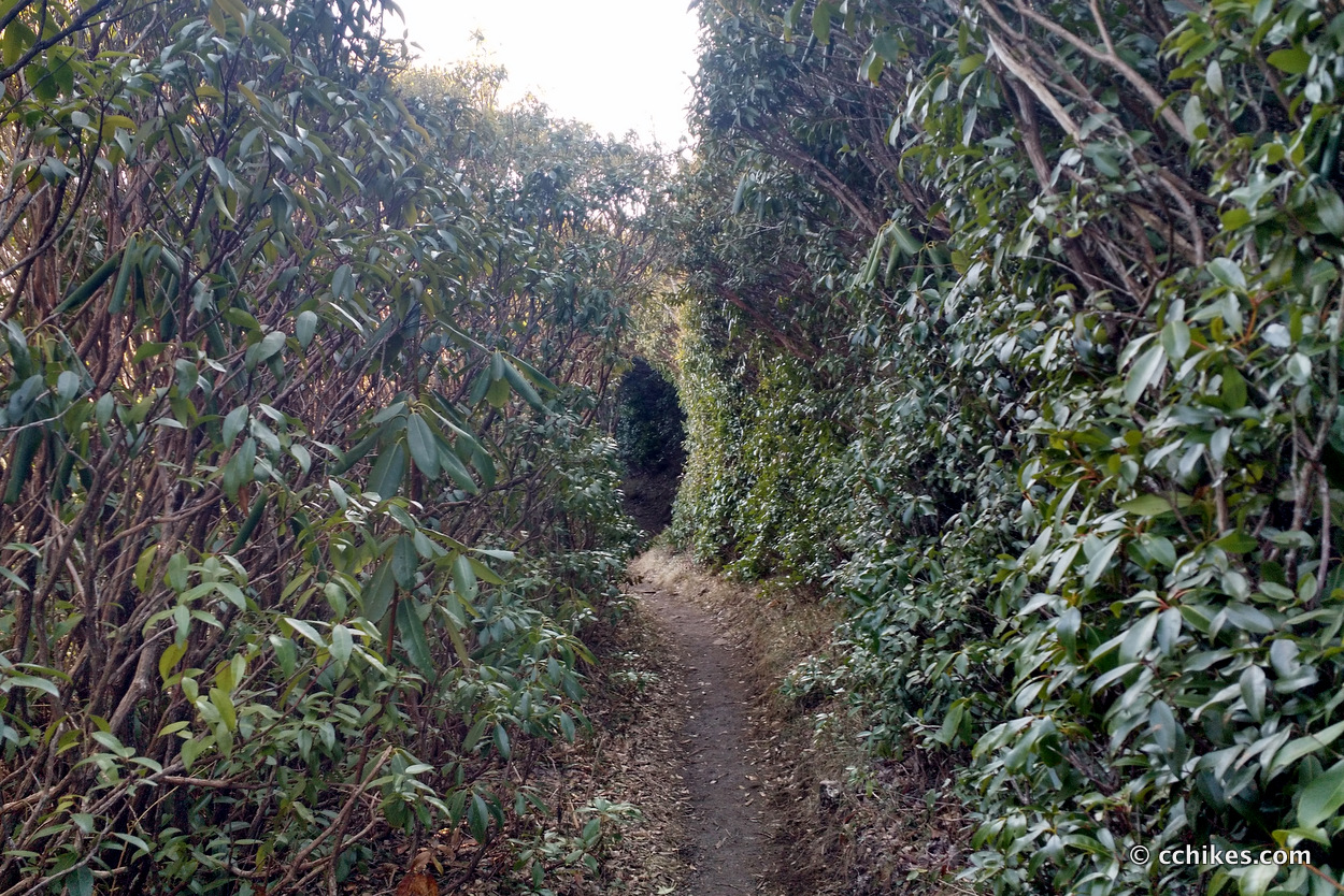
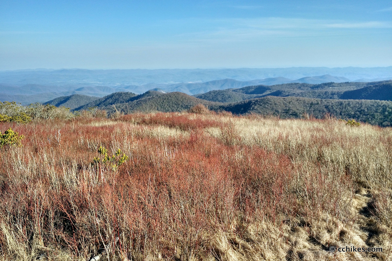
I think the section from Black Balsam (really Silver Mine Ridge a little farther south) past The Narrows to Deep Gap is the most picturesque hiking in North Carolina. It is absolutely stunning and the bald mountains allow for great panoramas. It’s rare that you get to see so much of the pathway that lies before you in the southeastern USA. It’s usually just green tunnel.
Orienteering
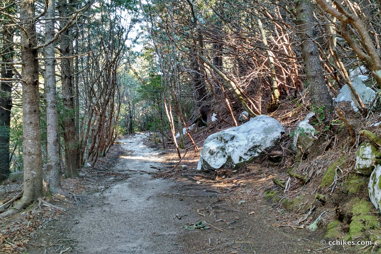
Shining Rock is a wilderness area. That means there are no blazes and very few signs. I relied on my own GPS map ↗ on my smartphone to track my progress on the trail. The loop is the red line. Many people don’t know this, but you don’t need an internet connection to ping GPS. It even works while your phone is in airplane mode. This GPS map showed me exactly where I was on the trail at all times. Feel free to copy this map or download the location data points and import them into your preferred GPS app. These step-by-step instructions will show you how to do that.
As you know, tech can malfunction, break, or run out of power. It’s prudent to take a contour map and a declination-correcting compass on your backpacking trips as well. This is the map and compass I used.
If you shop through any Amazon link on this website, you support me at no cost to yourself. Learn more in my disclosure.
![Pisgah Ranger District Map [Pisgah National Forest] (National Geographic Trails Illustrated Map, 780)](https://m.media-amazon.com/images/I/41tjCRmBDpL._SL160_.jpg)

Day 1
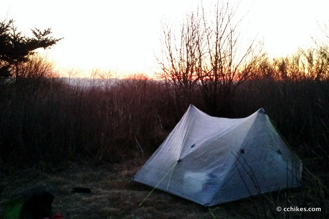
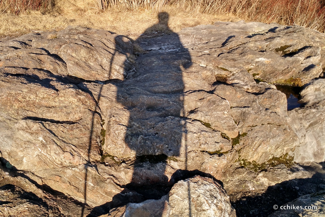
I drove to Black Balsam Knob around midnight and hiked until I found a campsite with some bush cover so it would help to cut the wind a bit. The temperature dropped to the lowest I’ve been willing to endure in a 20° rated quilt. I think it was in the mid-teens. It certainly felt that way.
This was a real test of my layering system. I wore two pairs of wool socks and ended up wrapping my wind jacket around my feet to warm my freezing toes. I never have cold feet, so this was a new experience for me. I crawled into my quilt and cocooned myself inside. After only a few hours of sleep, I was rearing to get moving just to warm myself up.
My kit held up well. I wasn’t exactly a comfortable night’s sleep, but I was never in danger of hypothermia. Some hot tea in the morning made the early chill of dawn more bearable.
Day 2
There’s not much to tell. I followed the loop and was amazed at how much easier the hike was this time compared to when I thru-hiked the Art Loeb Trail back in the fall. I’m in much better shape. Back then, I was frustrated, pained, and fatigued when drought turned my 12-mile day into an 18-mile day. On this day, I cranked out what I guess was around 24 miles in 11 hours without getting very tired. And this was a lot more elevation per mile because of the descent from Deep Gap to Daniel Boone Camp and the following ascent back up on the Little East Fork.
I planned to camp again on Saturday night around Shining Rock Gap, where the Art Loeb Trail and Ivestor Gap intersect, but it was only 4:00 p.m. and I knew I could make it to my car before sunset. If anyone had been with me, I would have camped and enjoyed the higher forecasted temperatures. But I wanted a big meal and a warm bed.
Note—I didn’t consume nearly enough calories on Saturday and almost fell asleep at the wheel as my body shut down on the way home. My Fitbit says I burned almost 6000 calories. I only ate around 2000. This is a recipe for disaster and I’m glad I’m learning the warning signs in a safe and familiar environment.
Impressions and advice
I really love this area. I don’t know the exact mileage of the loop, but I think this was in the lo-to-mid 20s. My Fitbit reported 56,000 steps on the trail. The last time I did that much was when I did 23 miles on the Foothills Trail. That’s probably comparable, but this felt like more. It felt good to grind out big miles considering the elevation.
Regardless of where you make camp on this loop, make sure you hike The Narrows (between Shining Rock Gap and Deep Gap) during daylight. You’ll spend more than ½ mile on the craggy backbone of the mountain. Some areas feature sheer cliff faces and unstable footing.
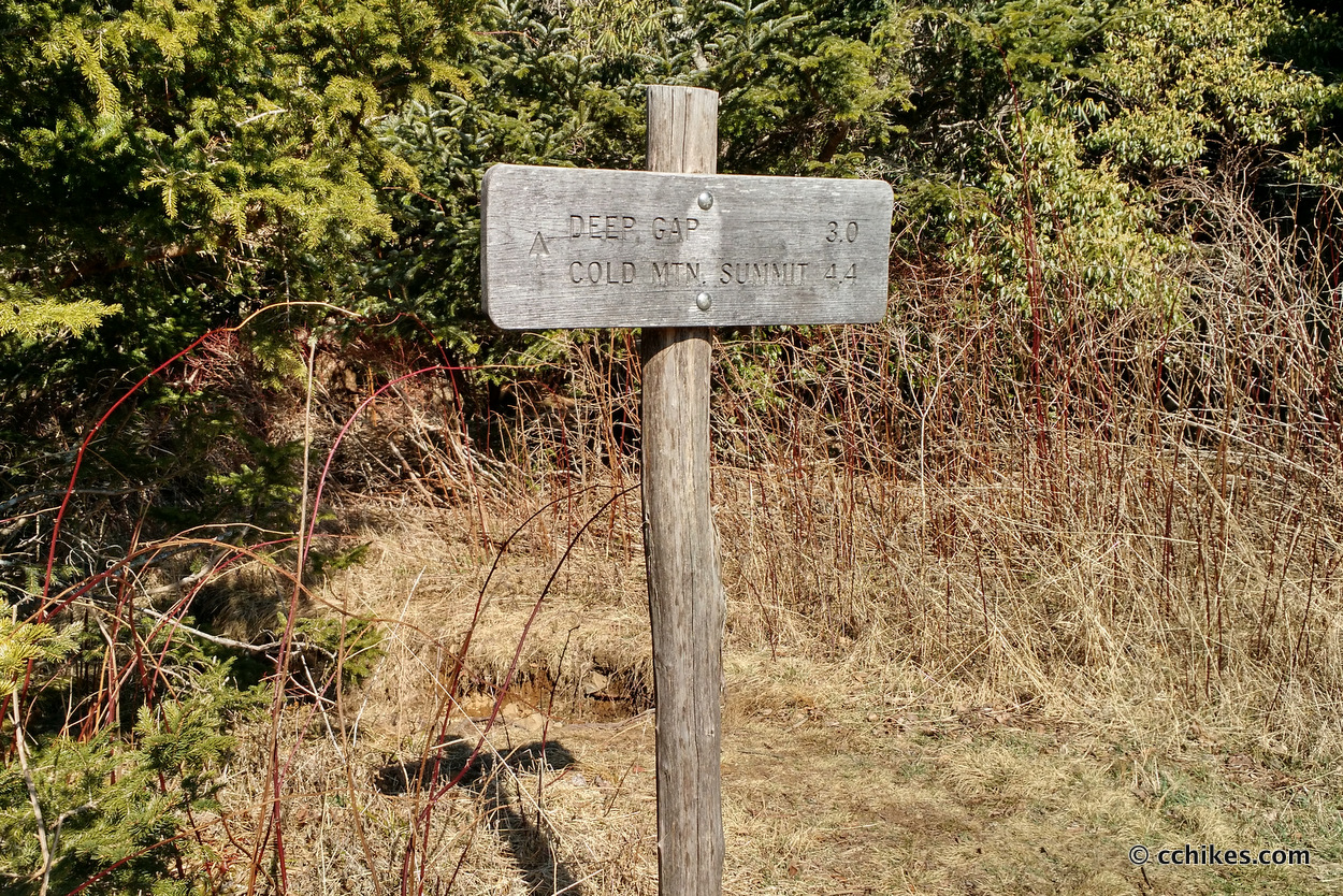
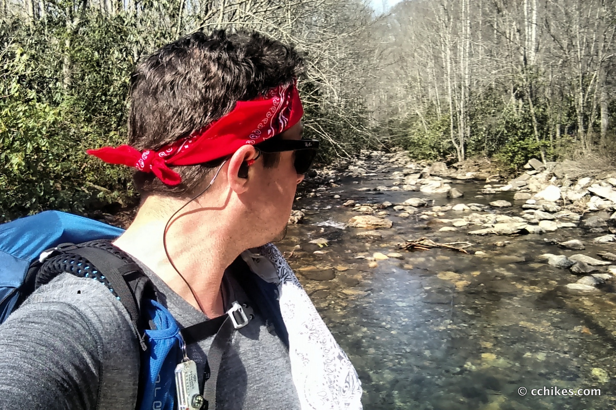
When you descend from Deep Gap to Daniel Boone Camp, there is no signage to tell you where to go to pick up Little East Fork. The road at the trailhead is Little East Fork. Turn left and then cross the bridge. Follow the gravel road uphill on the right side of the river until you see some signage about entering the Wilderness. You will have to regain all of the elevation you just gave up from Deep Gap, but at least it will be on old forestry roads. That means the grade will be mild but ceaseless until the summit. You follow the river and cross it several times until the widest crossing and then the trail takes you up a dirt road trail to the left, just past a campsite. This was confusing for me. The paper map was crucial.
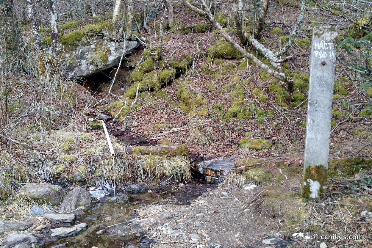
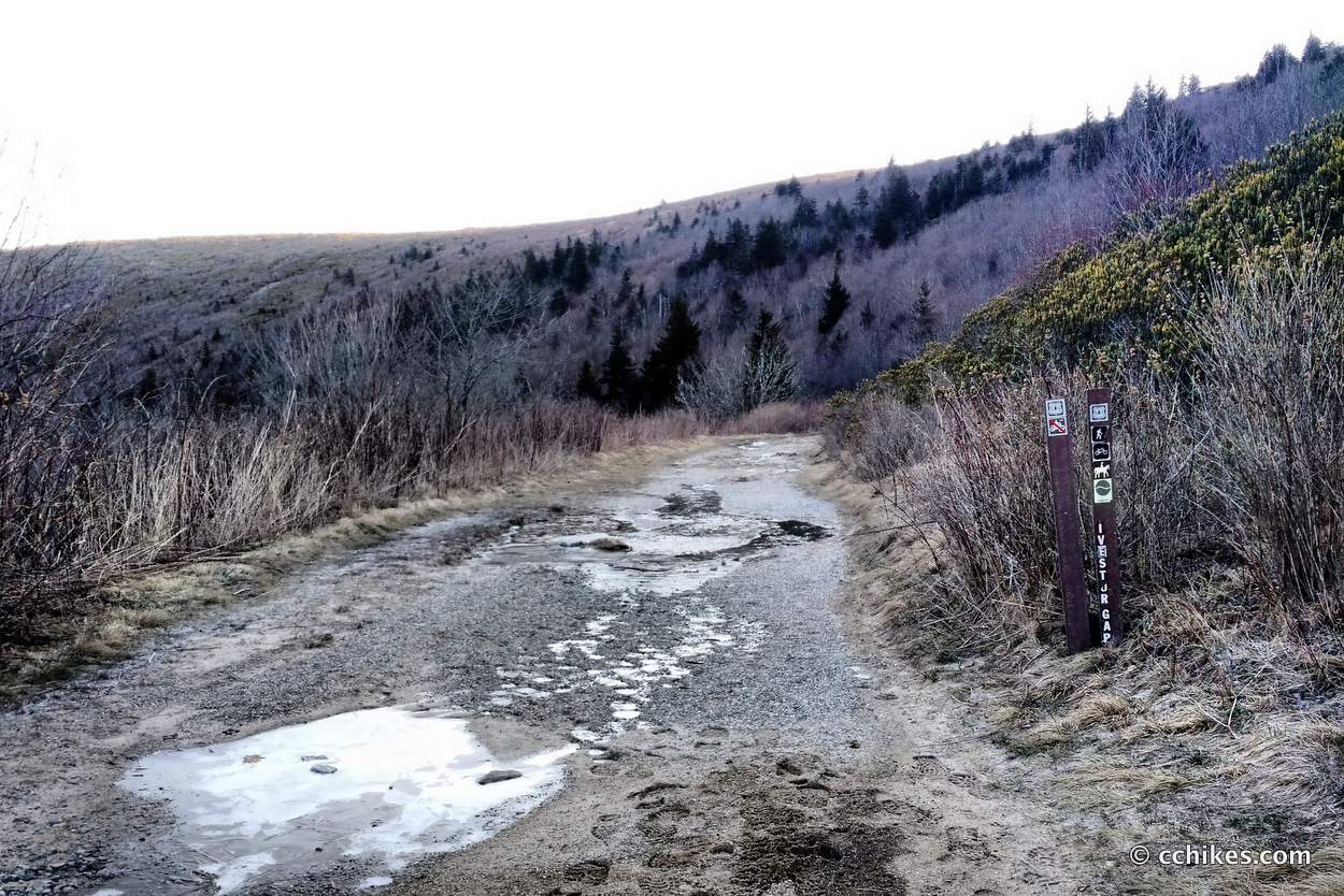
I started at the Art Loeb trailhead and hiked counter-clockwise. If you want to hike clockwise, there’s a parking lot with privies at the trailhead for Ivestor Gap. There’s also a natural spring accessible via a PVC pipe that you can’t miss just past the gate. See the photos above. Do not count on this water during a drought.
Even though I started at the Art Loeb trailhead at the base of Black Balsam Knob, the map below will take you to the Ivestor Gap trailhead. It’s confusing because the lot is called the Black Balsam trailhead, even though everyone hikes Black Balsam Knob on the Art Loeb Trail. On your way to the lot, you’ll pass the parallel parking for the Art Loeb Trail and Black Balsam Knob. You can’t miss it. Park there if you want or park in the bigger lot by Ivestor. This way, you have both options.
You could do this hike with kids and make it much shorter and easier just by closing your loop at Shining Rock Gap. That would erase almost all of the strenuous elevation. I’m not sure about the total mileage (I think it would be between 12–14 miles), but that would make for a great weekend hike. You could camp on Friday night in the woods next to the Ivestor Gap parking lot and then hit the trail in the morning. Crank out 8–10 miles and camp in the Wilderness. Then walk to the car early on Sunday morning. That would leave lots of playtime at camp and seem less like exercise.
A bear canister is required in the Shining Rock Wilderness. I carry the Bear Vault 450 when I must and can cram in a weekend’s worth of food for 2 people. Also, burn bans are usually in effect, but that doesn’t stop most campers from making fires.
Navigate
More
Discover more sections of the Art Loeb Trail.
Discover more North Carolina trails.
Discover more loop hikes.


Leave a Reply