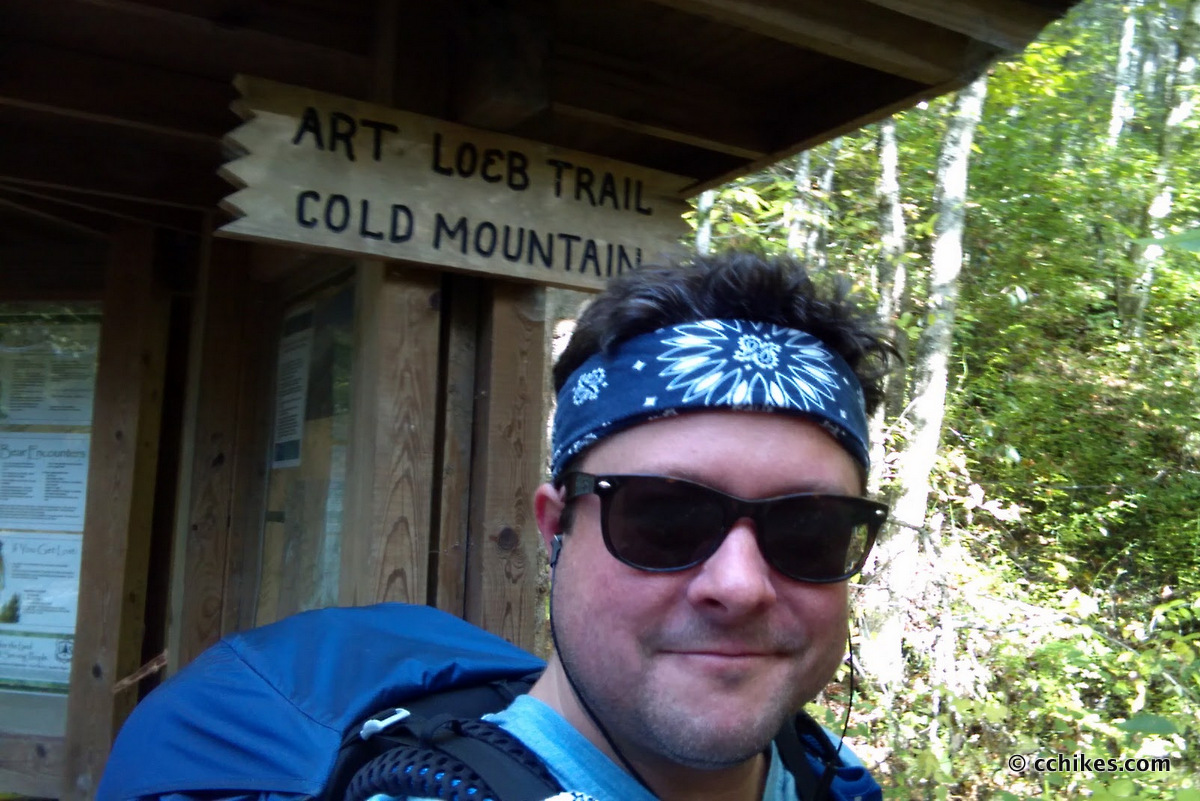


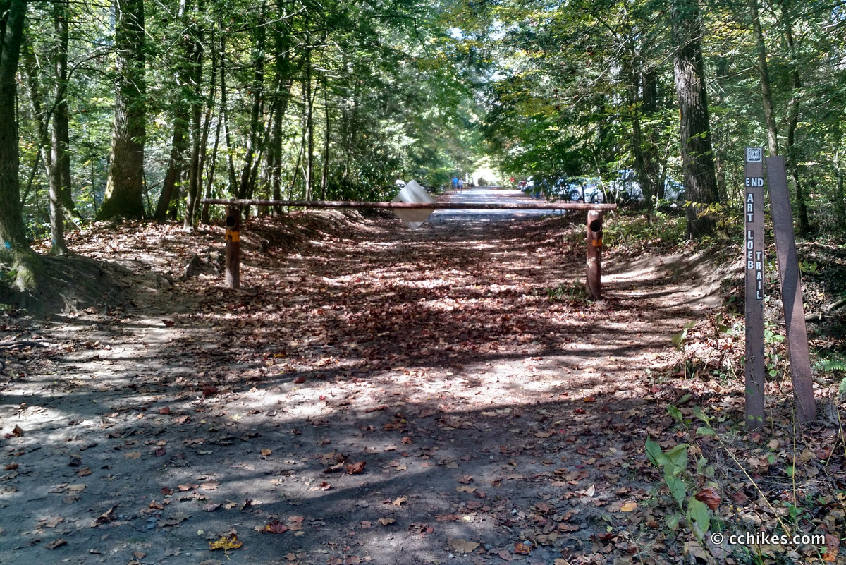
The Art Loeb Trail is a 30.1-mile pathway through Pisgah National Forest that crosses four 6000-foot peaks and winds around the base of a fifth at Cold Mountain. I’m still shaking down my new gear, so I thought this would be a good test.
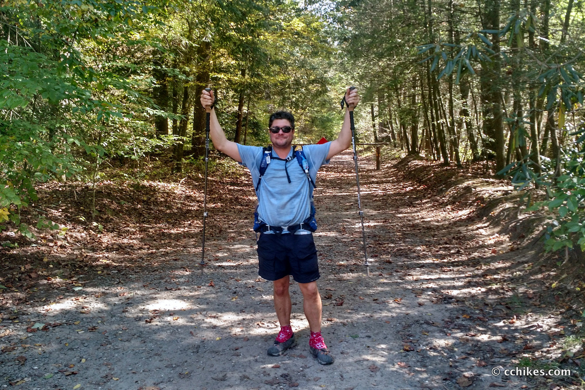
I allowed myself 3 days and nights to complete the hike, but I really hoped to complete it in 2. Well, 2¼ actually. I decided to hike from north to south so that I lost some elevation along the way. You know, path of least resistance and all that. I left work after lunch on Thursday so I would have the whole afternoon to get to the trailhead. It took me 1½ hours to reach the the southern trailhead at Davidson River Campground where I parked my car. From there, I took a 1½ hour shuttle by Pura Vida Adventures to the northern trailhead at the Daniel Boone Boy Scout Camp. It was an expensive service, but I wanted to hike alone and that’s a lot of driving to ask a friend to do when they’re not invited to tag along.
The Art Loeb Trail is divided into four unequal sections. Once I was dropped off at the starting point, my plan was to hike the first section—a steep 3.8-mile climb to Deep Gap—to spend the night. I planned to hike the next two sections—6.8 miles through the Shining Rock Wilderness to Black Balsam Knob and then another 7.2 miles over Pilot Mountain to Gloucester Gap—on Friday. That would only leave the final section—a 12.3-mile walk around Cedar Mountain back to my car—for Saturday. Then I could spend Sunday at Fall For Greenville.
Orienteering
I relied on my own GPS map ↗ on my smartphone to track my progress on the trail. Many people don’t know this, but you don’t need an internet connection to ping GPS. It even works while your phone is in airplane mode. This GPS map showed me exactly where I was on the trail at all times. Feel free to copy this map or download the location data points and import them into your preferred GPS app. These step-by-step instructions will show you how to do that
As you know, tech can malfunction, break, or run out of power. It’s prudent to take a contour map and a declination-correcting compass on your backpacking trips as well. This is the map and compass I own. The declination is around -6.4° depending on where you are on the trail.
If you shop through any Amazon link on this website, you support me at no cost to yourself. Learn more in my disclosure.
![Pisgah Ranger District Map [Pisgah National Forest] (National Geographic Trails Illustrated Map, 780)](https://m.media-amazon.com/images/I/41tjCRmBDpL._SL160_.jpg)

Day 1
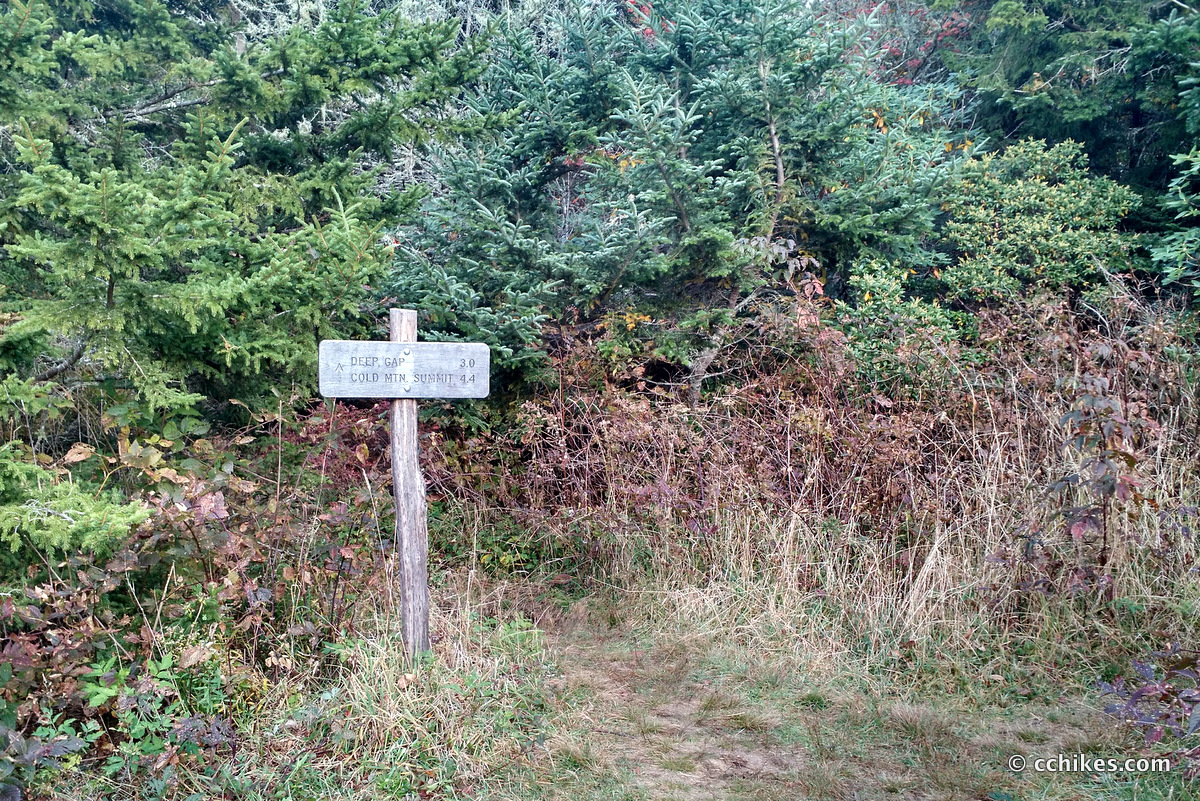
I mostly stuck to the plan. I got to the trailhead Thursday afternoon at around 4:00 p.m. and hiked the four miles straight up to Deep Gap. I ran into some northbound hikers who were spending their last night on the descent into the campground. I asked about the water situation and they recommended that I backtrack to a very low-flowing creek bed to fill my supply for the night and the next morning. I took their advice and hauled 2 liters (4.4 pounds) of water up to Deep Gap. I’m not used to carrying more than a liter or so of water, so could feel this extra weight as well as the heavy bear canister that is required in the wilderness.
Day 2
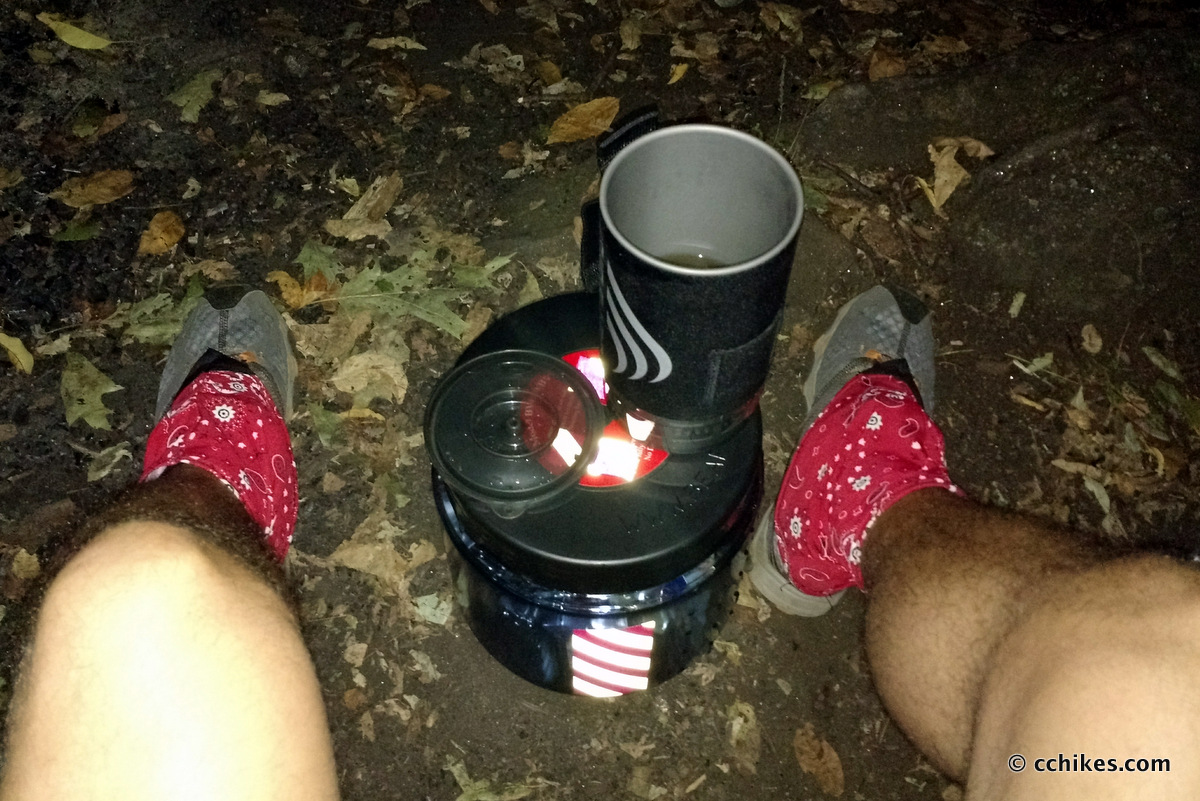
Like I said, there are few trail signs, blazes, or any other indicators that you’re on the correct trail. I was ready to hike out at 6:20 on Friday morning, but I couldn’t find the trail. When you’re dealing in feet rather than in miles, a map is pretty useless. Of course the map tells you which direction to go, but how do you know which trail to follow when there are dozens of them in the same area?
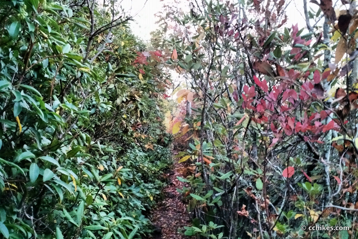
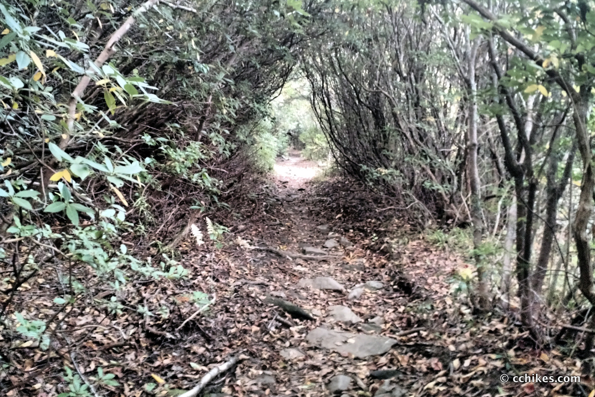
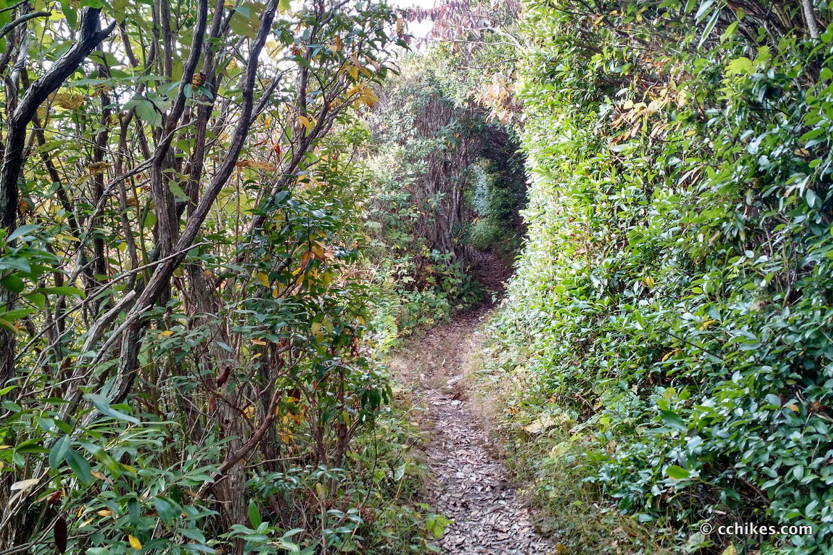
I sat down and brewed some herbal tea to warm me up until the sunrise. It was around 7:00 a.m. when there was enough light to pick up the correct trail toward The Narrows. After more climbing, you finally reach the stony ridgeline. It’s like walking on the backbone of a stegosaurus. This was strenuous, but also very fun. You walk over craggy boulders and through tight hedges. When you get a view, it’s truly awe-inspiring.
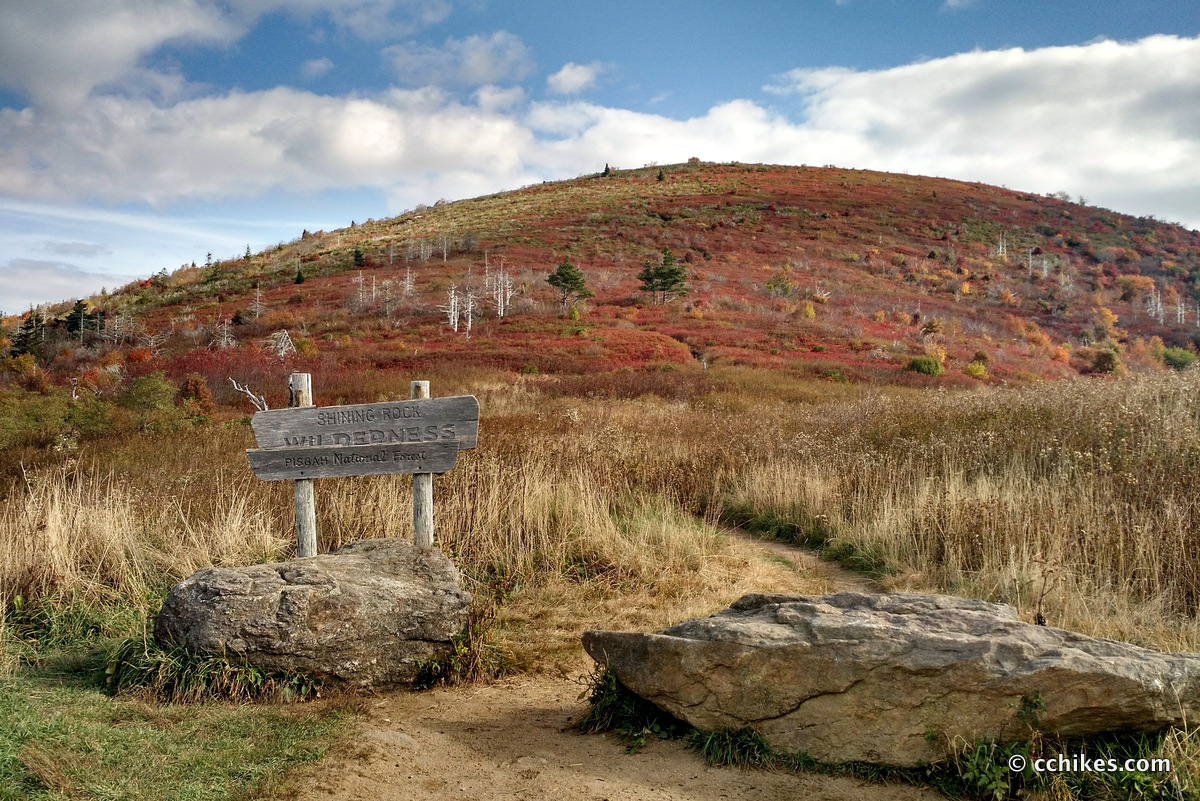
After The Narrows, the trail opens up into a wide path for the first time. The forest is dense and shaded regardless of how bright the sun is shining. Large quartz outcroppings remind you why it’s called the Shining Rock Wilderness. I ran into a couple more northbounders eating breakfast in their sleeping bags. They pointed me to the next water source and remarked that it was pretty low. They were right. I had to use rocks and leaves to form a trickle I could use to fill my dirty water bag. I walked out with 2 liters of water.
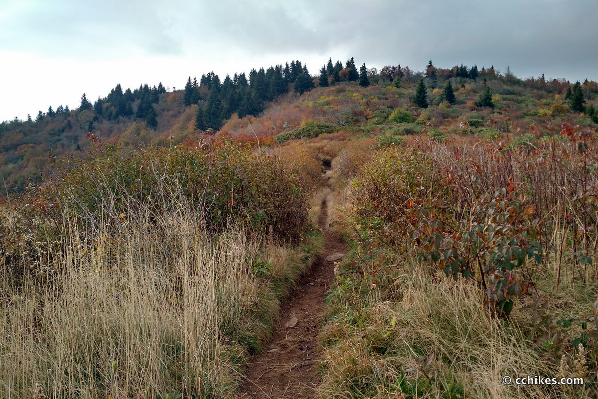
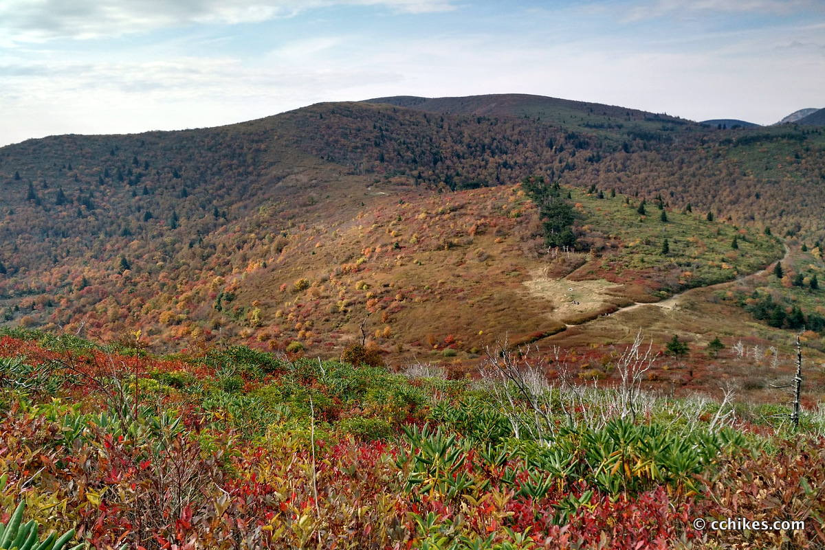
It’s strange how you suddenly pop out of the thick-canopied forest and onto the grassy highlands. It’s a stark contrast, kind of like going directly from night into daylight. It’s jarring, really.
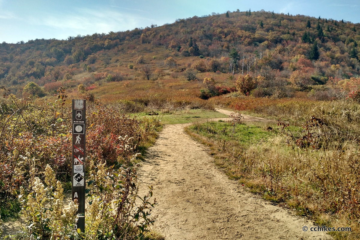
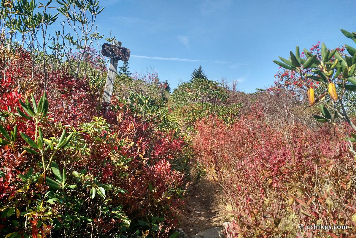
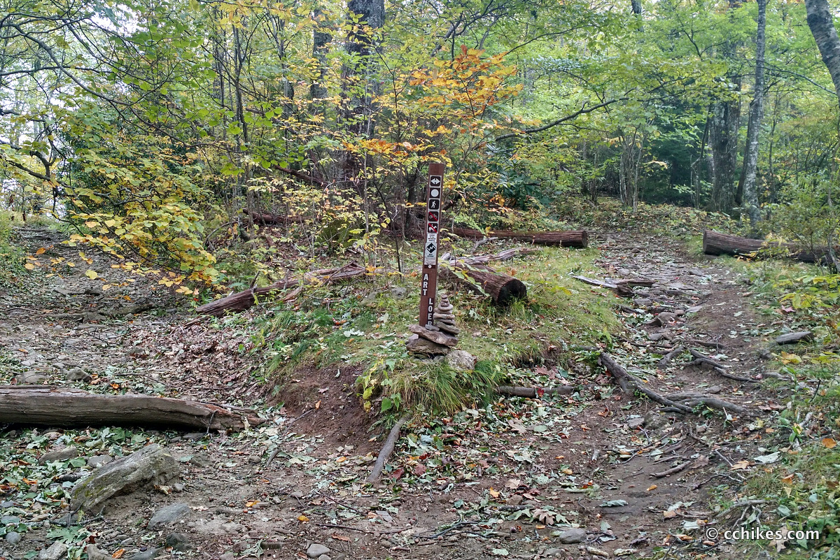
This begins what I think is the best part of the trail. You walk up and over the ridge lines of many of the bald peaks that dot the horizon. The trail can get very confusing in this area. It’s a wildly popular camping area, so there are many pathways and no blazes. You need a map to know where to go and GPS helps to confirm whether or not you are on the correct trail.
I hiked down a mountainside thinking, “this trail really needs some maintenance.” When I reached the valley, I turned around and saw that a sign read, “trail closed due to erosion.” Then I looked to my right and saw a nice, wide pathway that must have been the official trail. There were other times when I was walking up the trail and noticed another group walking a parallel trail in the opposite direction maybe 20 feet to my left. Which of us was on the official trail? How are we supposed to know? With so many pathways so close together, even GPS can’t help.
Thanks to the confusing trail network, I somehow took the bypass around Black Balsam Knob and missed the summit entirely. It wasn’t until I reached the road that I realized I’d hiked down the approach trail that I’ve walked dozens of times. I couldn’t find the water source, but I received some trail magic in the form of a cold water bottle from a day-hiker. In retrospect, this good deed might have saved my hike.
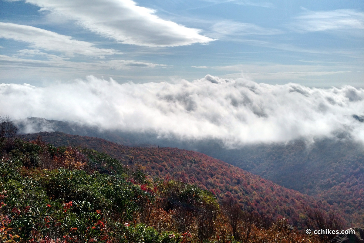
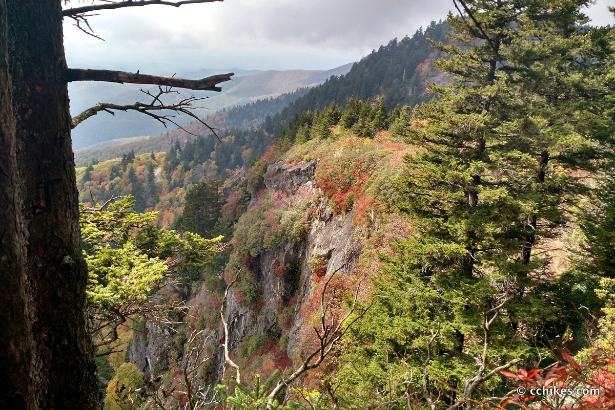
I finished the second section of the trail and stopped for lunch at the Silvermine Bald Overlook high above the Blue Ridge Parkway. This was one of the best and most secluded views I enjoyed on the entire trail. It’s only 20 feet away from the Art Loeb Trail, but it’s just past a hard left turn and most people miss it. Ironically, this overlook is not far from the street, but Black Balsam and Sam Knob act like black holes sucking in the day-hikers. I never saw anyone else in the 30 or so minutes that I lingered there.
From Silvermine Bald, the Art Loeb Trail trail descends very steeply to and across the Blue Ridge Parkway at Shuck Ridge. From there, it continues descending until you reach the second Deep Gap. This is where I planned to refill my water and relax for a while. Unfortunately, the spring was dry. After speaking with some northbound section-hikers, I realized that I would have to hike another 5 miles—including up and down Pilot Mountain (5095 feet) on a bum knee—to access the next water source.
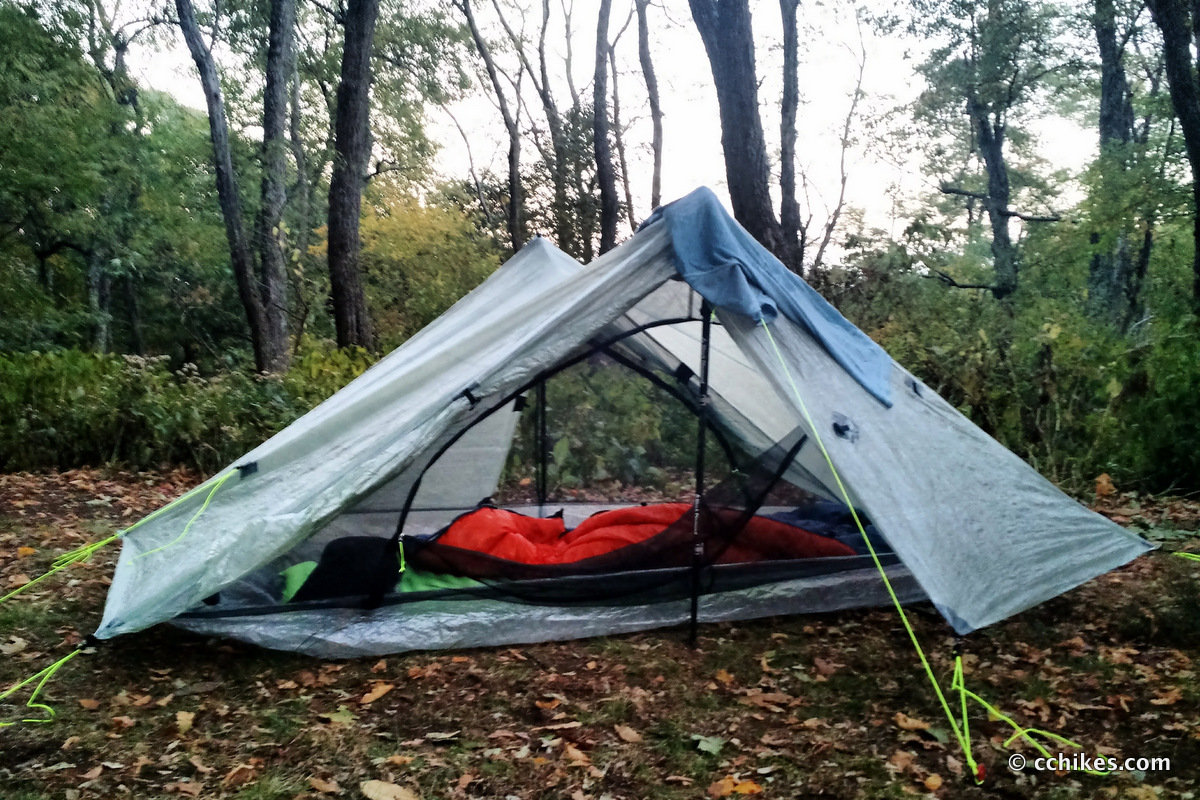
Around Gloucester Gap, the trail continues descending and then crosses several forest roads. My knee hurt so badly that I considered bailing out. I immediately hated myself for even considering quitting, so I swallowed half of the Ibuprofen in my first-aid kit and limped along. That helped me to drag myself over another mountain and finally to the shelter at Butter Gap. I had been out of water for several hours and immediately drank a liter and filtered another two for the night.
I was so exhausted that I couldn’t eat. My body simply wanted to sleep and heal. I put my rehydrated meal back in my bear canister and went to bed. As luck would have it, my knee hurt too badly to sleep more than 30 minutes at a time on Friday night. I tossed and turned, but there was nothing I could do to alleviate the discomfort. I had to ration my remaining pain medication for the hike out on Saturday morning. When I finally got hungry enough to eat that night, it started raining. I hunkered down and listened to some music until Saturday morning.
Day 3
By the time I had broken camp at sunrise, I was absolutely famished. I finished my dinner from the night before and then cooked the dinner I had saved for Saturday night. I knew I needed the calories. I only had 8 miles remaining, but I was already pretty tired. I took my medicine and then set off.
I walked back up to the ridgeline and around Cedar Rock Mountain. I was surprised when the trail suddenly spit me out at Cat Gap Loop. I hadn’t realized I was making such good time on my bum knee. I felt invigorated and that motivated me to push on. I ran into several other northbounders. It was fun to flip the script and be the thru-hiker who only had a few miles left.
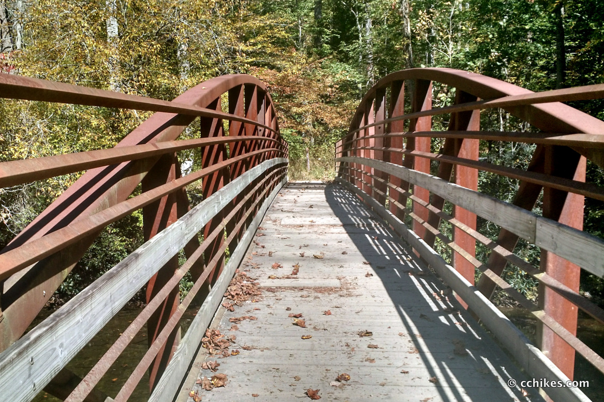
The last couple of miles down Shut-In Ridge were a cakewalk. The final half mile is a flat gravel road that follows the Davidson River. Once off the elevation, my knee felt much better. I was racing women with strollers to the parking lot.
Impressions
All in all, this was a great hike. I can see why people call it a mini-Appalachian Trail. It features green tunnels, rocky ridges, grassy knolls, and wildly diverse flora ranging from dark coniferous forests to sunlight-speckled tunnels of rhododendron and mountain laurel. That said, the southern half of the trail is mostly green tunnel. I think the true majesty lies in the northern half of the trail.
If I was to backpack part of the Art Loeb Trail again with friends, I would leave a car at either the Black Balsam Knob parking lot or on the side of the Blue Ridge Parkway at Shuck Ridge. Then I would start my hike at the Daniel Boone Campground. I would walk through Deep Gap on Cold Mountain and across The Narrows. That’s about 7 miles. I would camp in the woods by the water source. That way, the first thing I would see in the morning when I walked out of the forest would be the grassy balds. Then I would ridge walk all the way past Black Balsam to Silver Mine and down to the Parkway.
That would be around 15 miles split evenly over two days. It would feature what I think are the best parts of the Art Loeb Trail and it could be knocked out in a weekend.
Navigate
More
Discover more hikes involving the Art Loeb Trail.
Discover more North Carolina trails.
Update
It turns out I tore a small part of my meniscus tendon on this trip. That and the drought made for a very difficult hike. I stubbornly avoided the doctor until after thru-hiking the Foothills Trail a month later. The doctor told me to try wearing a knee compression sleeve to see if it alleviated my discomfort. I was incredulous but thought I’d give it a shot before paying for surgery.
The sleeve worked so well that I bought another one for the other knee and have worn them on every hike since then. My knee got much better over the next 6 months with steady exercise. I felt so much better in fact that I successfully thru-hiked the entire Art Loeb Trail in one day (13 hours) a mere 7 months after my experience chronicled here.
In the time since then, I’ve used sections of the trail to piece together many loop hikes and know the area very well. If you have any questions, leave them in the comments below and I’ll try to help.


Mark Fugel
Hi Chad. Great hike…thanks for sharing your experiences. We are planning a hike N to S of the ART in late October. We will have 2 cars which we want to move as we hike so we always have a bail out…I have a bad knee also. Can you safely park the car on the BRP? What parking spots on the way down make the most sense do you think? Any help is appreciated.
Chad Chandler
You would need to call the Blue Ridge Parkway Rangers to ask about parking your car where the Art Loeb crosses the Parkway. There’s room for a couple of cars to park there, but I’d worry about getting towed at night. Plus, there’s overnight parking nearby where the Art Loeb intersects with the MST just south of Black Balsam Knob, next to Graveyard Fields. You could park there. The nearby parking lot for Investor Gap/Sam Knob has a privy and a water source, and that’s only around 1/3 mile from the Art Loeb Trail.
As far as bailout points go, your best bets for leaving cars are around Black Balsam Knob (GPS) and the Pisgah Center for Wildlife Education (GPS)—the intersection of the Art Loeb and Cat Gap Trails on your map.
There’s not a very a good place to bail between Daniel Boone and Black Balsam other than taking the Ivestor Gap Trail (a flat, rocky, old roadway) out of Shining Rock. After that, there are several places where you could hitchhike out with hikers and mountain bikers. For example, you’ll have several foresty service road crossings between Pilot Mountain and Butter Gap. You’re not supposed to park a car there if I remember correctly, but a car would come along in less than an hour if you really needed to get out.
FYI—I put a lot of links in this response because each post has a map point you can navigate to that’s close to the Art Loeb Trail. Best wishes on your hike!
Nora
Hey Chad! I used your review of the Standing Indian loop a few weeks ago and had a great time. I’m planning a north to south hike of ALT next weekend. I’m trying to make sure I fully understand the bear canister regulations – are they required for the entire trail, or just Shining rock Wilderness? If not for the entire trail, would it be feasible to hike through the cannister required section if I started mid-late morning Friday? I always just hang my food and just trying to save money and not buy/rent a cannister since I’m already paying for a shuttle to drop me at Daniel boone. Thanks!!
Chad Chandler
Bear canisters are only required in Shining Rock Wilderness. You exit Shining Rock where the Ivestor Gap Trail meets the Art Loeb Trail north of Tennent Mountain. That’s maybe 12 or 13 miles south of the northern trailhead. There are many campsites in the copses and grassy knolls between the Shining Rock sign and Black Balsam Knob. If you can get that far on your first day, then you don’t have to bring a bear canister. That said, there aren’t a lot of great places to hang a bear bag properly until you cross the road south of Black Balsam and enter the forest.
Vanessa
Hey CC, Wow, you’re post makes this trail seems easy!. My daughter (13) and I JUST got home( like today) from hiking it N to S. We hiked to Deep Gap, camped and explored Cold Mountain, then hiked and camped just below Black Balsam on the MST portion, then hiked and camped at the Butter Gap junction, then finally made it to the end and our car. We found it to be very challenging, exhausting but rewarding. There were honestly a few tears shed. It is truly amazing and kind of CRAZY that you can do it that quick. Makes me feel like I need to be in better shape, I found this trail to be pretty darn hard!!
John Moeller
Chad, we hope to camp at Deep Gap one night and somewhere around Ivester gap another night. How does one make a camping plan without knowing about water? Is there water at Ivester Gap? Thanks! John
John Crowe
Looks great , Congratulations on your through-hike
…I’m thinking of a south to north… I am wondering what your pack weight was and what food did you take? Cheers
Chad Chandler
John, you will find similar information to what you’re looking for here. This was from my prep for a thru-hike of the John Muir Trail in California in 2017:
Timothy Crenshaw
Planning to do the Art Loeb in March with a friend and was looking for good blogs / information. I am just now realizing this is 7 1/2 years old but it still seems relevant. Thank you for the article! After looking around your site I realize, “This is the same guy with the Linville Gorge story!!” I love The Gorge and think of your writings and experiences often when I am on the trail.
Does Art Loeb compare to The Linville Gorge at all? Thanks again!