
I’ve been meaning to hike to the top of John Rock for a while. It’s a side trail in the middle of Cat Gap Loop, which I hiked a couple of months ago. This was purely impulsive. I realized on Friday afternoon that I didn’t have any plans for that night. Auburn didn’t kick off against Ole Miss until Saturday night, so I loaded my pack and headed to the Pisgah Center for Wildlife Education to camp. I parked by the Davidson River trailhead (back left corner of the parking lot) and hiked a quarter mile or so until I found a campground.
The place was packed. I wasn’t on completely flat ground, so I spent half the night waking up pressed against the wall of my tent and scooting my sleeping pad back into the center. My tent is made of cuben fiber, which is like teflon in terms of friction. The weather was supposed to be unseasonably warm, so I packed my summer quilt. That proved to be a mistake as well. You live and you learn, I guess.
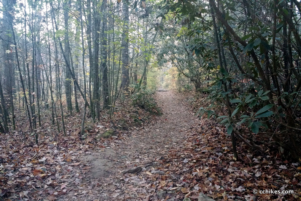
I hit the 5-mile trail around 8:00 a.m. on Saturday morning and was on the cliff face by 10:00 a.m. The last time I hiked Cat Gap Loop, I did it counter-clockwise. I still think that’s the better way to go if you’re climbing to the summit. But if you’re going up to John Rock and taking the Cat Gap Bypass (avoiding the very steep climb to the peak), clockwise is definitely the way to go.
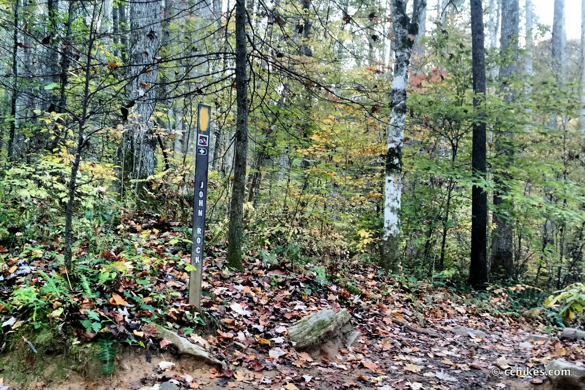
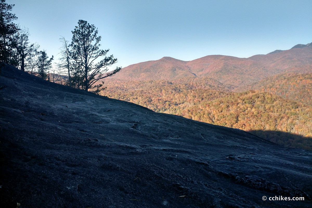
You hike on Cat Gap Loop until you see the trailhead for John Rock. The best view from the cliff will come before the summit. There is a sign warning visitors to leash their dogs. From there on, there are many pathways to the right that go to the cliff. Have fun exploring. Here’s the view from the cliff face.
The trail continues over the summit and starts descending. It’s pretty steep in places. You will eventually come to a trail junction. The John Rock spur ends at the intersection of the Cat Gap Bypass and the Cat Gap Loop. Take the bypass unless you want to summit Cat Gap. I’ll warn you that there is no view from the summit and the hike is steep. The bypass follows a contour (meaning it’s level ground) until it intersects with the loop again. Take the loop back down to the parking lot.
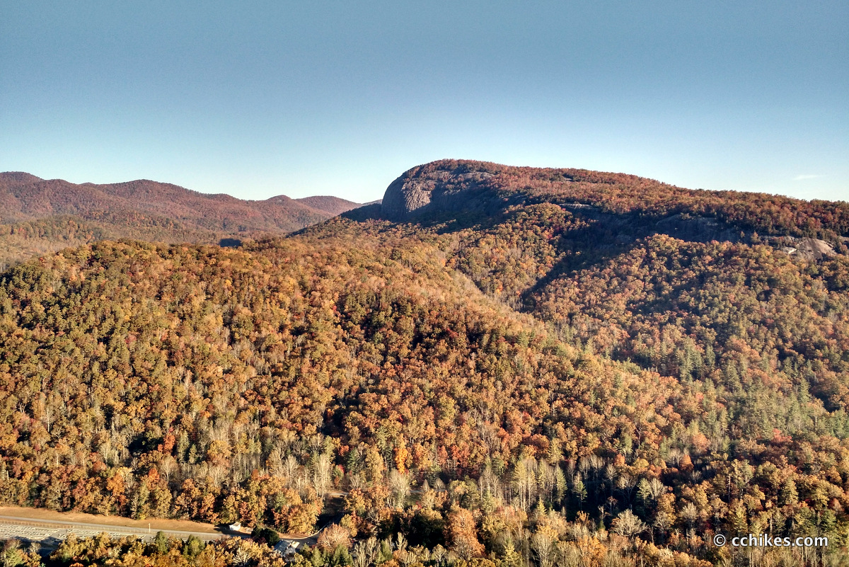
I really flew up this trail. I know I’m in better shape now than I was was when I first hiked Cat Gap, but I was surprised at how relatively easy climb was. Sadly, having summited nearby Looking Glass Rock a few weeks ago, I found John Rock a little underwhelming. Looking Glass is the rocky peak on the horizon. It is truly majestic. These two hikes are very similar, but the reward is much better at Looking Glass. That said, it’s much more difficult elevation than the path up to John Rock.
This part of Pisgah National Forest is filled with a network of trails you can combine to form all kinds of multi-day treks and loop hikes. I was in this same area a few weeks ago when I hiked the Art Loeb Trail. That trail intersects with Cat Gap at the summit.
In retrospect, I realize that I sprained my left knee on my second day on that trail and ended up hiking around 11 miles in pretty bad pain. The pain stayed with me for weeks. This hike was a test of my knee and I’m pleased to say that it held up well. I think that using trekking poles to minimize the strain on my joints has been key to my recovery and I highly recommend them.
While Looking Glass Rock is a better reward for uphill hiking, this is the better place to spend the weekend. There are lots of campsites along the Davidson River and there is a vast network of linked trails. You can choose your own adventure, so to speak. Plus, you can set up camp close enough to the parking lot and the Ranger Station to use the facilities.


Leave a Reply