


There are lots of ways to get to Shining Rock. The 4.3-mile Ivestor Gap Trail is probably the easiest way in terms of difficulty. The Art Loeb Trail is probably the most rewarding in terms of beauty. The 4-mile Shining Creek Trail is somewhere between those two in difficulty and beauty. Then there’s the 3.4-mile Old Butt Knob Trail. It’s in a different category altogether.
Most people who explore the Shining Rock Wilderness don’t know about the Old Butt Knob Trail. It’s difficult to find even if you’re looking for it. Considering that it climbs 2500 feet to Chestnut Ridge in just over a mile, Old Butt is definitely the most strenuous way to get there. It can be combined with the Shining Creek Trail to make an 8.4-mile loop. If you like climbing, then this is a loop for you.
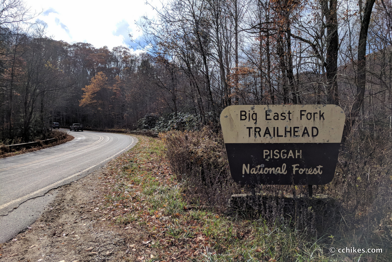
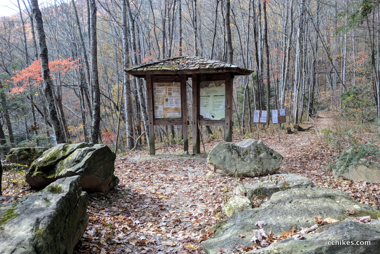
There is a gravel parking area on the western side of US 276 where you can park. The map point below will take you straight there. There’s overflow parking across the street. This is in the Shining Rock Wilderness, so there are no blazes.
Orienteering
I relied on my own GPS map ↗ on my smartphone to track my progress on the trail. Many people don’t know this, but you don’t need an internet connection to ping GPS. It even works while your phone is in airplane mode. This GPS map showed me exactly where I was on the trail at all times. Feel free to copy this map or download the location data points and import them into your preferred GPS app. These step-by-step instructions will show you how to do that.
As you know, tech can malfunction, break, or run out of power. It’s prudent to take a contour map and a declination-adjustable compass on your backpacking trips as well. This is the map and compass I use.
If you shop through any Amazon link on this website, you support me at no cost to yourself. Learn more in my disclosure.
![Pisgah Ranger District Map [Pisgah National Forest] (National Geographic Trails Illustrated Map, 780)](https://m.media-amazon.com/images/I/41tjCRmBDpL._SL160_.jpg)

About the loop
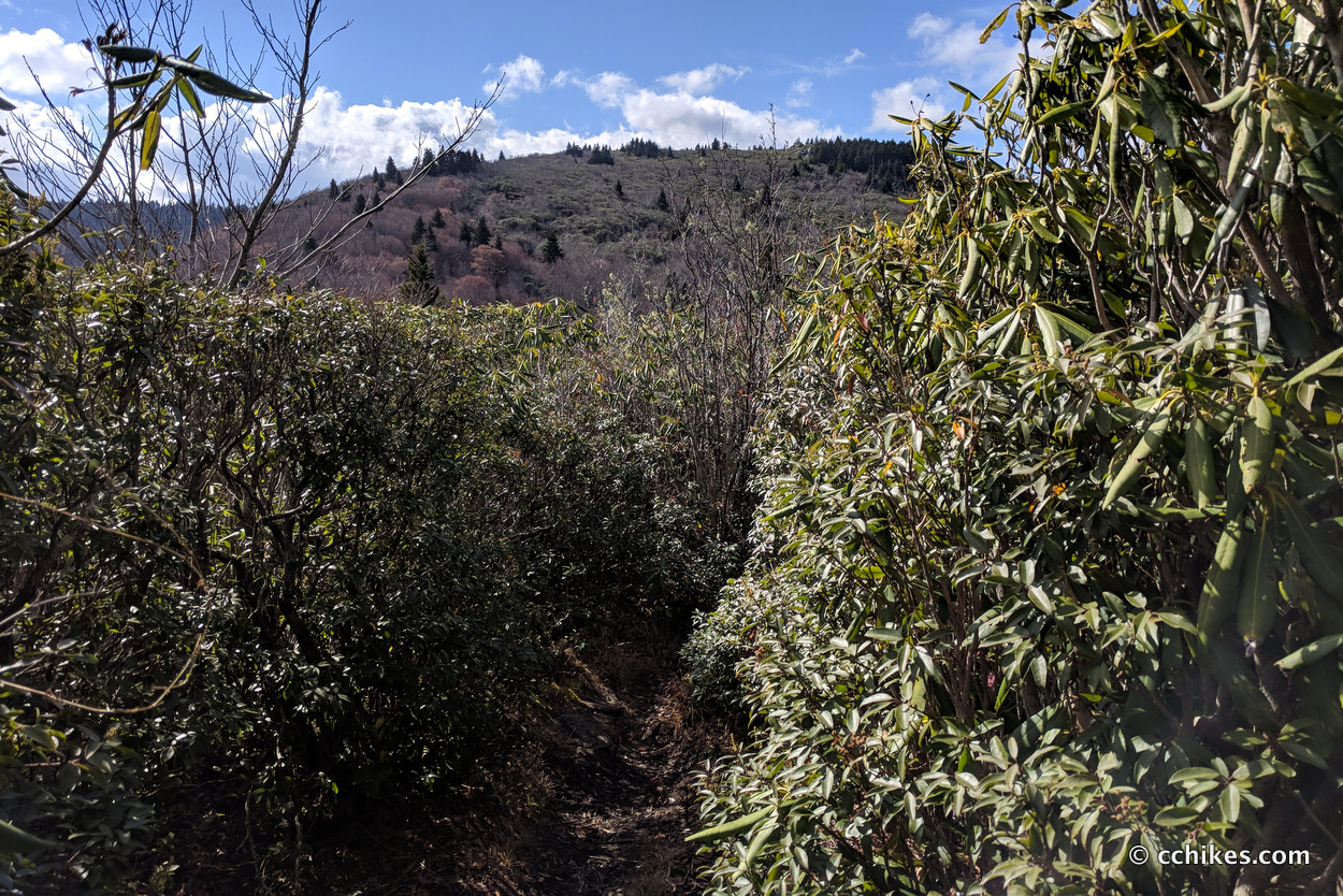
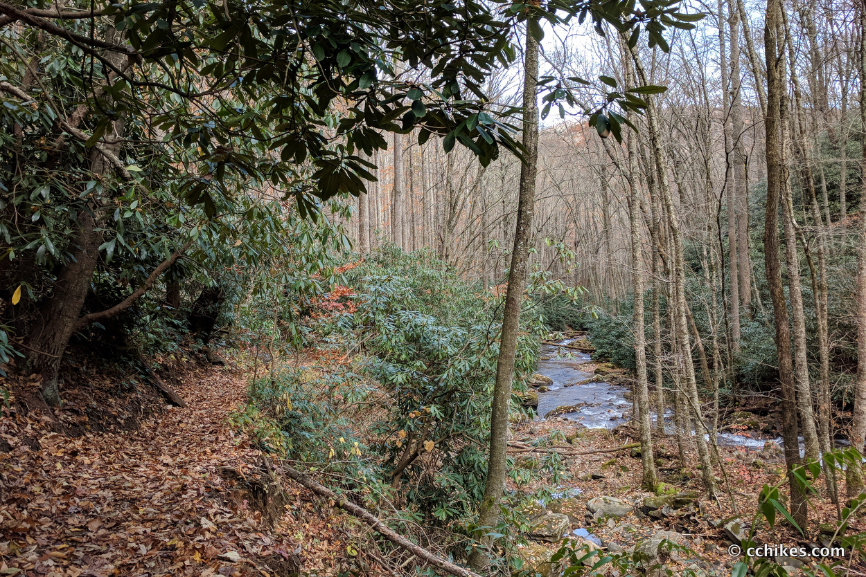
You start at the Big East Fork Trailhead and take the Shining Creek Trail. The trail rises above the creek and there are many campsites down near the bank. There is almost no signage in the Wilderness. It can be hard to know which trail to take at times. If there is a fork with two similarly trafficked pathways, the unofficial trail will usually have a downed tree or branches across the walkway. Avoid those trails.
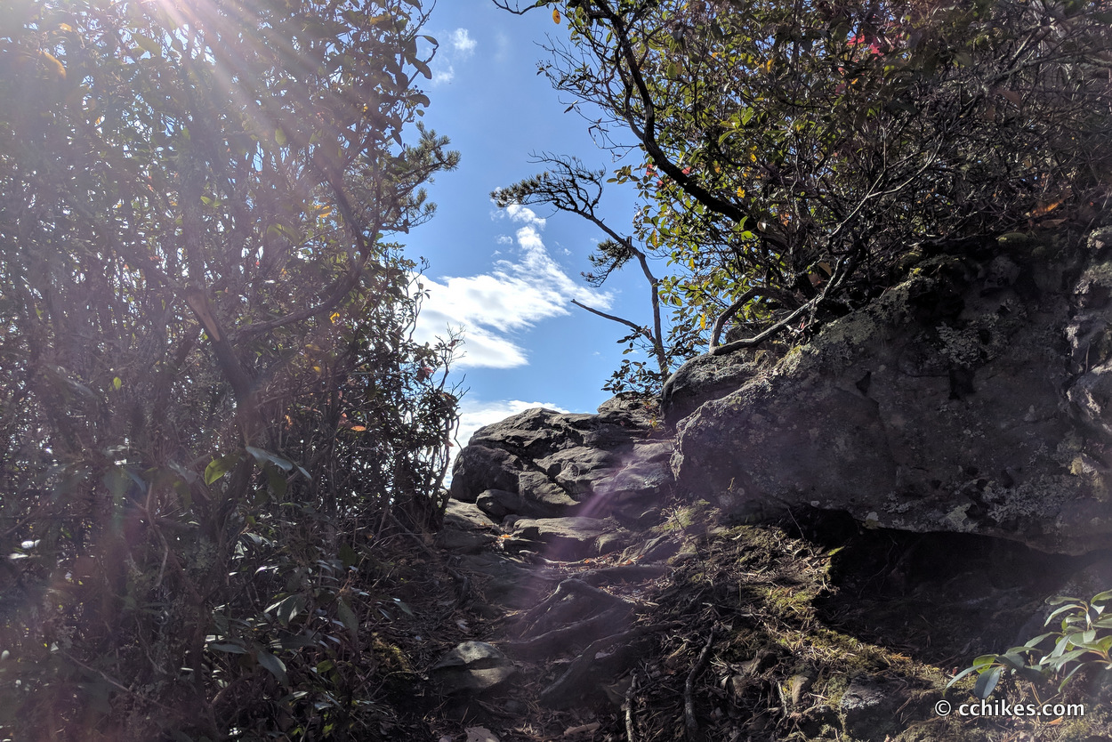
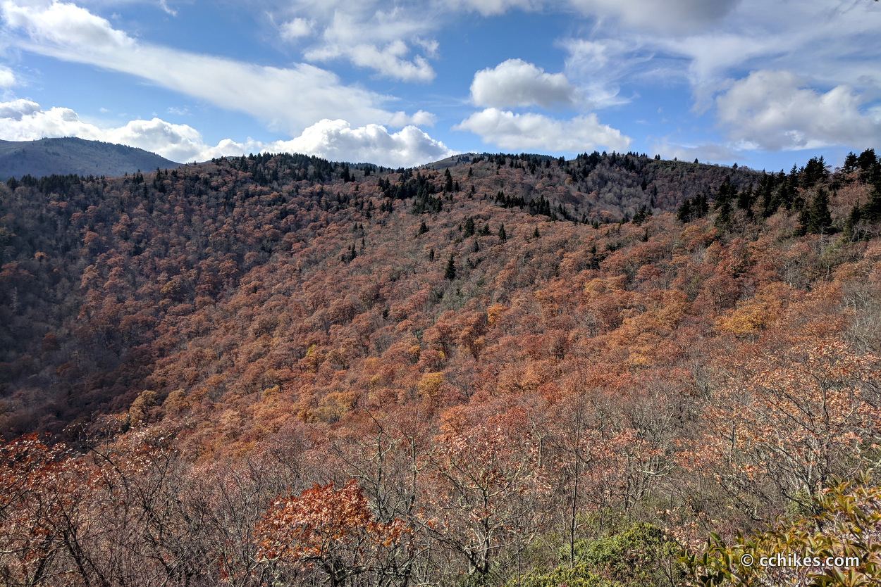
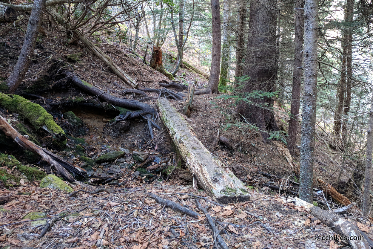
After about 3/4 of a mile, the Old Butt Knob Trail splits off on the right. It goes straight up the mountain. The first mile or more of this trail is strenuous to say the least. Your heels will barely touch the ground. The climb to the first summit is relentless, but eventually features some fun overlooks and boulder scrambles. There is no water on this trail, so fill up before you start your climb.
I really enjoyed this trail. It’s like a miniature version of the Black Mountain Crest Trail (Mt Mitchell) in that there’s a steep, strenuous ascent for the first ¼ of the trail and then you rise above some summits and walk the backbone of the mountain.
See the point (blue dot ↗) where you finish the arduous climb and start walking the ridge.
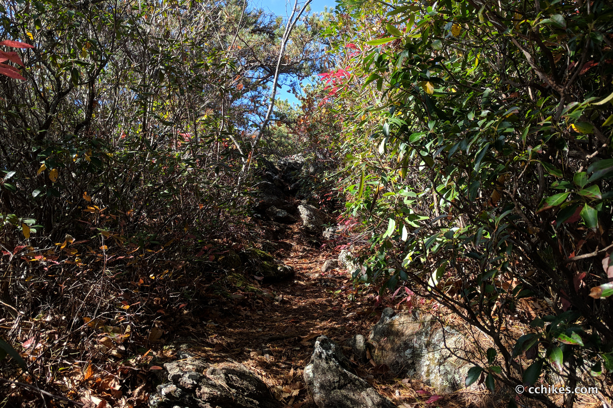
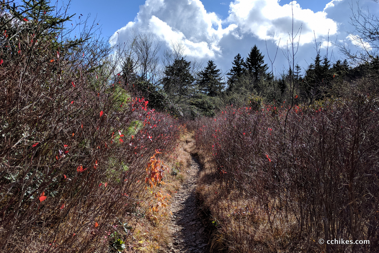
Ridge-walking is a more moderate task and more rewarding than making the climb. There are small ascents and descents, and you can see your complete remaining hike from some of the overlooks.
The Old Butt Knob Trail is not heavily trafficked, so the GPS map comes in very handy. There were a few times when I lost the trail and had to pinpoint my location to see where I went wrong. Once you get close to Shining Rock Ledge, you just have to wing it. There are so many side trails that it doesn’t really matter how you get to the Art Loeb Trail. It just matters that you get there.
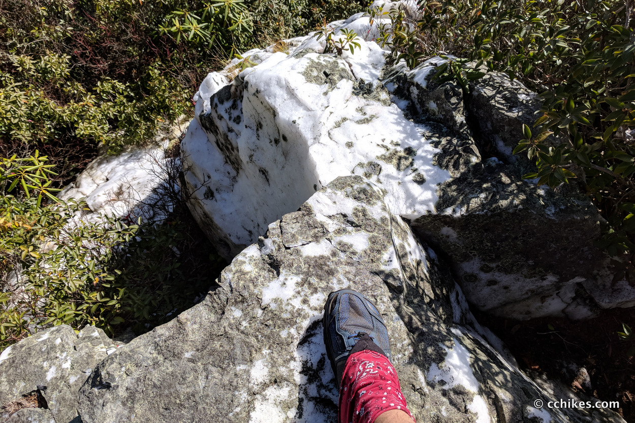
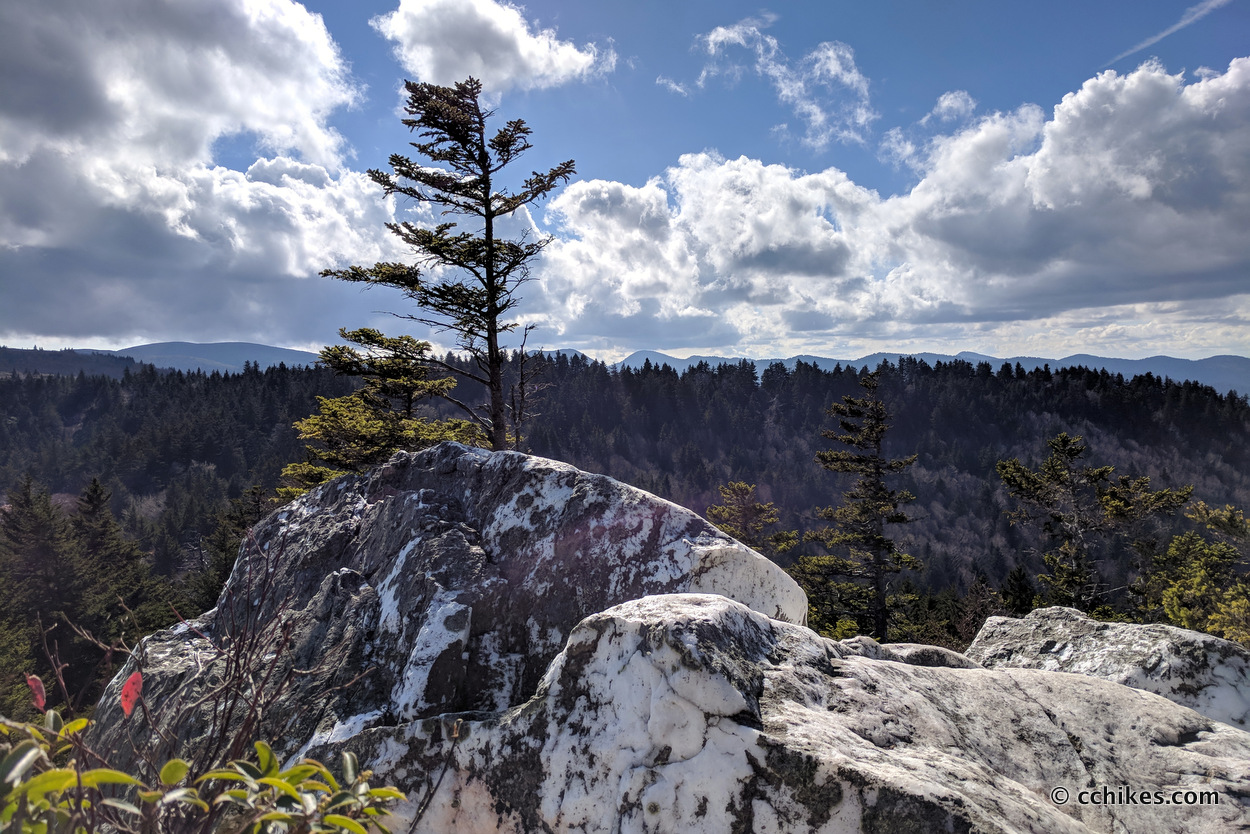
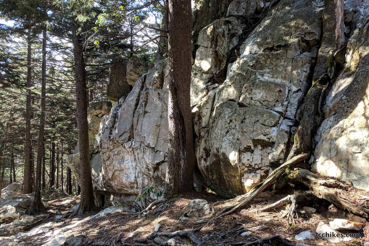
Have fun exploring the white, quartz outcroppings and climb up on the big boulders. The views from the top are gorgeous.
Work your way along the Art Loeb (the most obvious trail) until you encounter the Shining Creek Trail. There is a sign. This area is congested and can be confusing. Make sure you don’t accidentally take the Art Loeb Trail back toward Tennent Mountain and Black Balsam Knob. Or worse, make sure you don’t walk toward the Daniel Boone Boy Scout Camp and Cold Mountain.
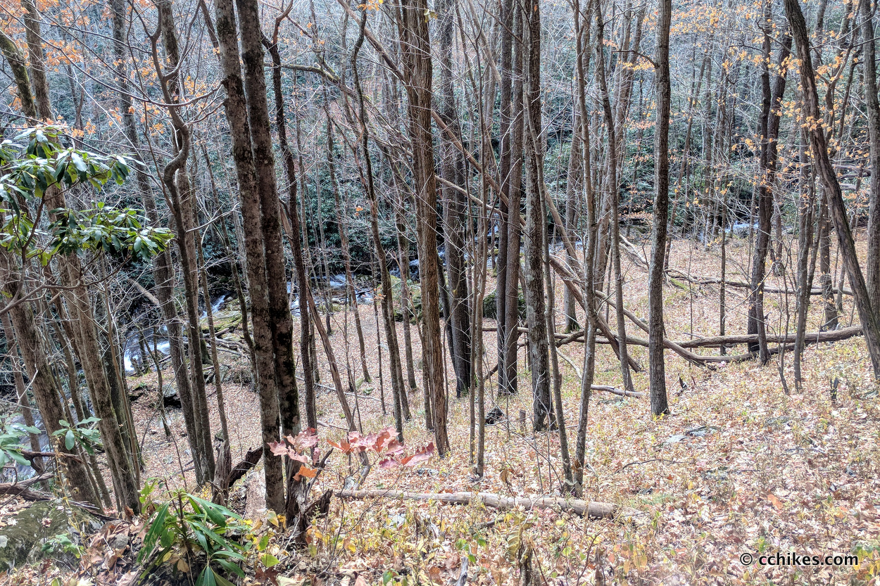
The top half of the Shining Creek Trail is rocky and sometimes steep as it follows the creek. This section involves moderate to strenuous hiking. The lower half is an old, overgrown forestry road and involves easy to moderate hiking. That said, it’s not the easiest hike in the area. These trails are not very popular, especially juxtaposed to the overcrowded Art Loeb and Ivestor Gaps Trails. Expect to eat some cobwebs and climb over a few blowdowns. This section of the loop mostly follows Shining Creek, so there’s ample water the whole way back to your car.
Impressions
This is a fun loop if you’re into climbing, but the views are not great compared to other climbs in the area. Only do this loop if you’re already in good shape and you want to challenge yourself. If you’re into climbing and want a better payoff, spend your day Looking Glass Rock, John Rock, or Mt Pisgah.
Due to the strenuousness of this loop, and the lack of blazes/signage, I recommend that amateur and novice hikers do an out-and-back hike on the Shining Creek Trail and avoid the Old Butt Knob Trail altogether. Bring trekking poles for safety. I’m pretty experienced and I rolled my ankles three times on this hike—mostly from slipping on the freshly fallen leaves. And bring a headlamp in case the steep sections of this loop push your day hike into the night.
It took me 2½ hours to climb Old Butt Knob Trail and play around Shining Rock ledge. It took me another 1½ hours to hike down Shining Creek Trail back to my car. This was a fun little 4 hour, 8+ mile hike.
Navigate
More
Discover more loop hikes.
Discover more sections of the Art Loeb Trail.
Discover more North Carolina trails.


Leave a Reply