


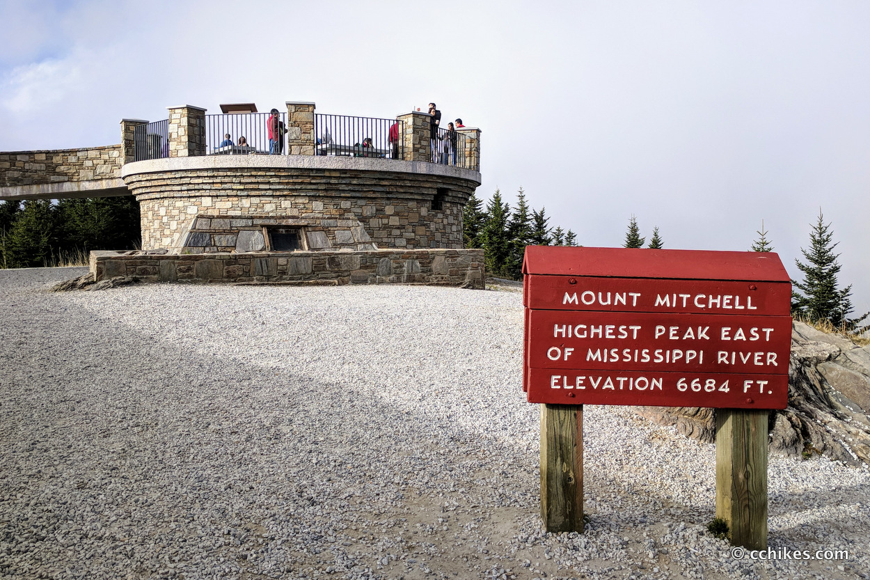
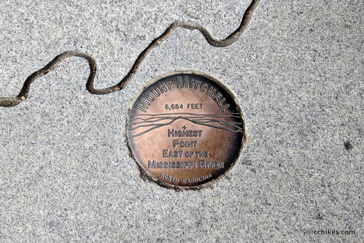
Mt Mitchell is the highest summit east of the Mississippi River. The area offers the standard features of a state park (stores, restrooms, picnic tables, campsites, restaurant, etc). Like Clingman’s Dome, the vast majority of visitors drive to a parking lot just below the summit and walk to a viewing area at the top. Others hike the Mt Mitchell or the Camp Alice trails from the valley to the summit. But there’s a much more interesting way to approach the mountain.
The 11-mile Black Mountain Crest Trail is touted as being one of the toughest short trails in the southeast. It climbs from the trailhead at Bowen’s Creek near Burnsville to a ridge that connects 10 mountains that are near or above 6000 feet in elevation. This includes 5 of the 10 highest peaks in the eastern USA.
Orientieering
I relied on my own GPS map ↗ on my smartphone to track my progress on the trail. Many people don’t know this, but you don’t need an internet connection to ping GPS. It even works while your phone is in airplane mode. This GPS map showed me exactly where I was on the trail at all times. Feel free to copy this map or download the location data points and import them into your preferred GPS app. These step-by-step instructions will show you how to do that.
As you know, tech can malfunction, break, or run out of power. It’s prudent to take a contour map and a declination-correcting compass on your backpacking trips as well. This is the map and compass I used.
If you shop through any Amazon link on this website, you support me at no cost to yourself. Learn more in my disclosure.
![Linville Gorge, Mount Mitchell Map [Pisgah National Forest] (National Geographic Trails Illustrated Map, 779)](https://m.media-amazon.com/images/I/51I0rTcUZQL._SL160_.jpg)

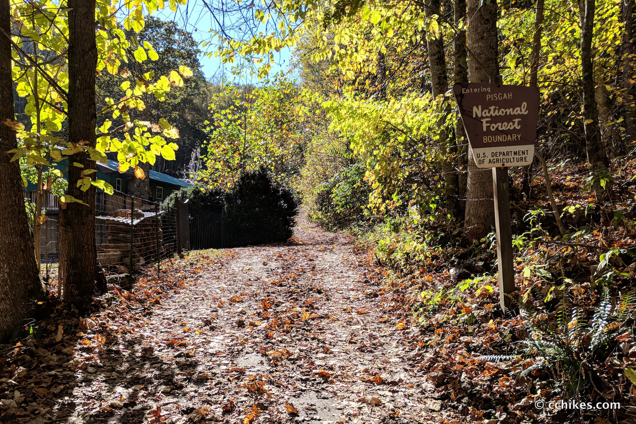
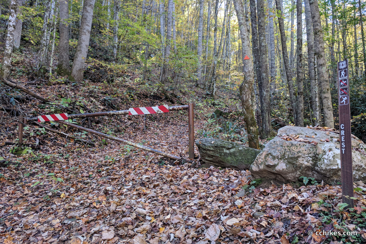
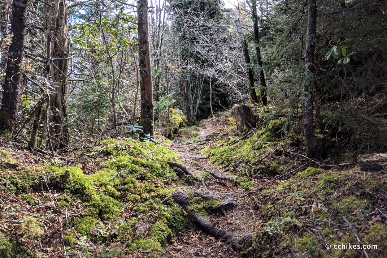
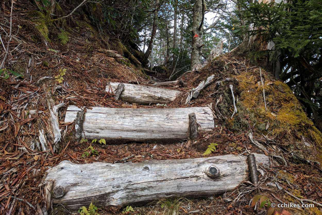
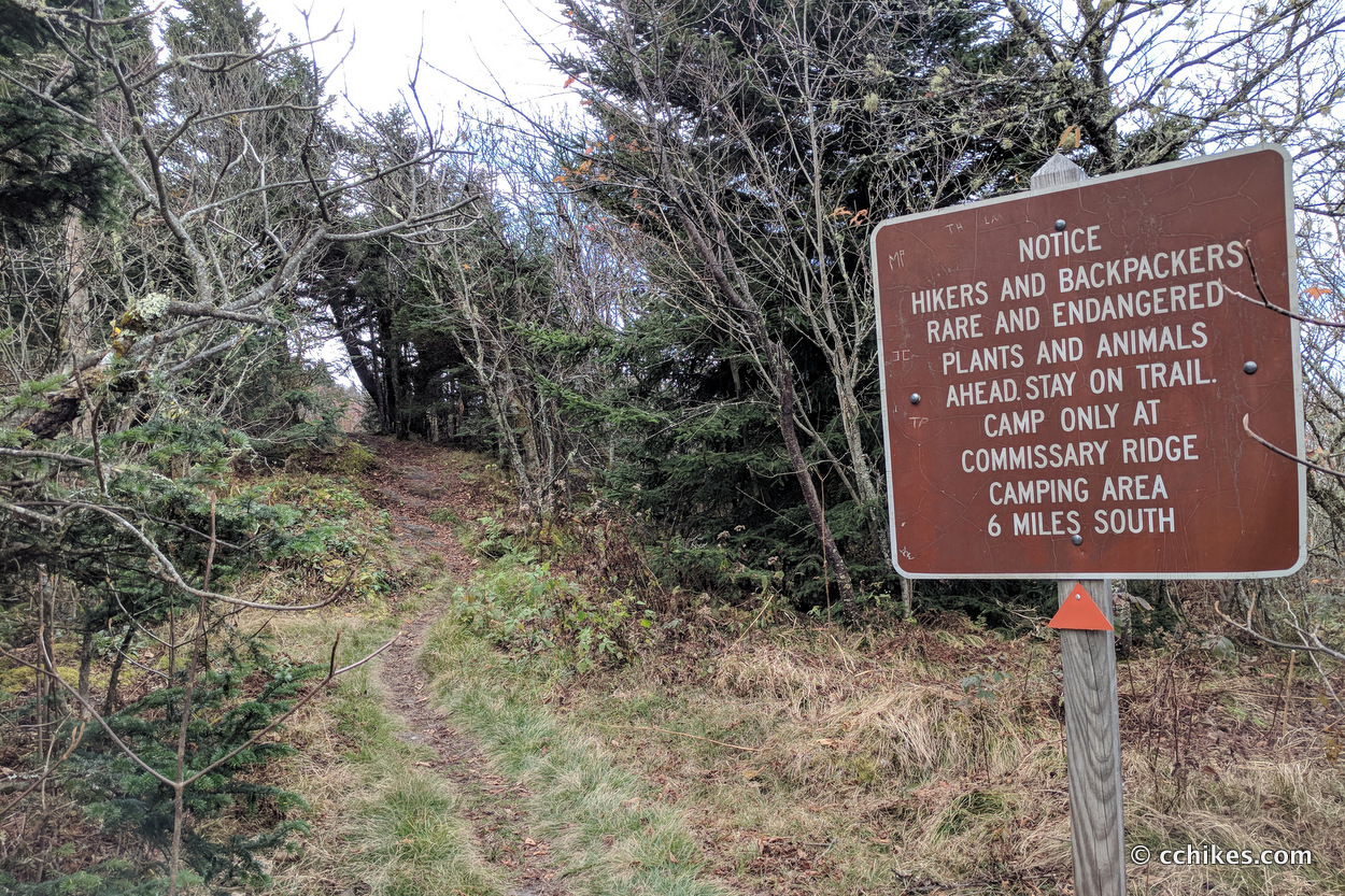
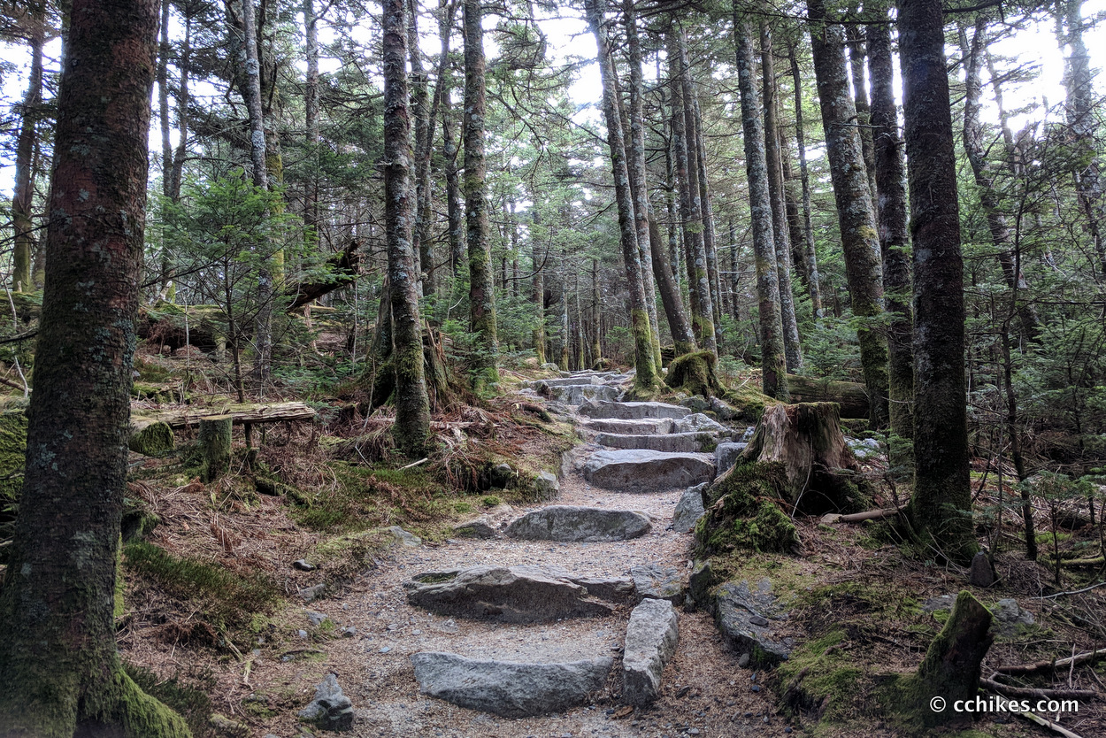
The Black Mountain Crest Trail is very well maintained. It is blazed with red for most of the trail until the Mt Mitchell State Park boundary. Then the name changes to the Deep Gap Trail and the color changes to orange. But it’s the same footpath.
Every time the trail split or got confusing, I could see another blaze. This GPS map is more for checking your progress than navigating. The trail doesn’t cross the summits of all 11 mountains. You should also print or screenshot the table below to aid with navigation.
Mountains
The mileage is measured from the Bowlens Creek trailhead. You can navigate to it via the map point below. There is surprisingly good cell service in the area (I use Verizon), but it’s wise to get your navigation app up and running early on your drive.
Since you’re on mobile, it may help to view this table in landscape mode.
| Mountains | Miles | Elevation | Summit | Views |
|---|---|---|---|---|
| Bowlens Creek Trailhead | 0 | 3058 | ||
| Junction with Celo Knob Trail | 4.1 | 6153 | The main trail does not go over the summit (side trail) | No |
| Percy’s Peak | 4.4 | 6150 | The main trail does not go over the summit (bushwhack) | No |
| Gibbs Mountain | 4.9 | 6108 | The main trail does not go over the summit (bushwhack) | No |
| Winter Star Mountain | 6.7 | 6211 | The main trail goes over the summit | Yes |
| Deer Mountain | 7.4 | 6110 | The main trail does not go over the summit (bushwhack) | No |
| Potato Hill | 8.1 | 6472 | The main trail goes over the summit | Yes |
| Yellow Marker for Cattail bushwhack | 8.5 | 6535 | The main trail does not go over the summit (bushwhack) | Yes |
| Balsam Cone | 9.1 | 6601 | The main trail goes over the summit | Yes |
| Big Tom | 9.8 | 6579 | The main trail goes over the summit | No |
| Mt Craig | 10 | 6652 | The main trail goes over the summit | Yes |
| Mt Mitchell | 10.8 | 6684 | The main trail goes to the summit | Yes |
Hiking
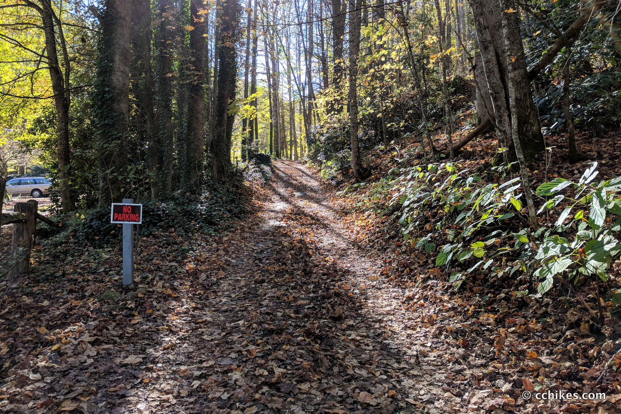
I left my car at the summit of Mt Mitchell and was shuttled to the trailhead. The map point below will take you to Water Shed Road near Bowlen’s Creek. The starting point can be a little confusing. There’s no apparent trail marker from where you park your car. There’s just a gravel road that climbs uphill to the right of a private house. This is the road to the trail. Do not drive on this road nor block it. Park in the space to the right of the road and then walk until you reach this rickety bridge.
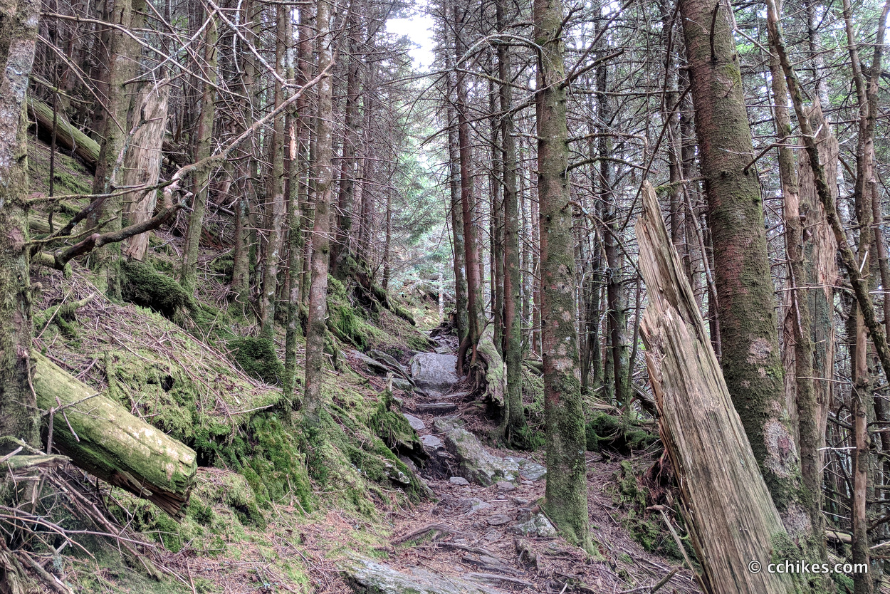
Just after the bridge, you will see the actual trailhead. You will climb over 3000 feet over the next 4 miles. This part of the trail is an old forestry road, so the grade isn’t too bad. There is a campsite after a couple of miles, but no other flat ground until you reach the summit. This is the toughest part of the hike and is mostly green tunnel. But the climb is worth the spectacle from the ridge just below Celo Knob.
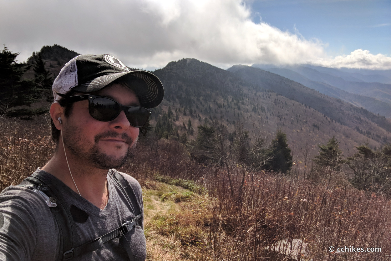
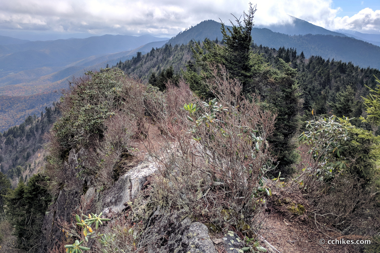
From that vantage point, you can see most of the peaks you will be summiting. It took me almost 2 hours to get to this point (view this point on the map ↗). This video shows you the ridgeline. Sadly, Mt Mitchell is enveloped in a cloud.
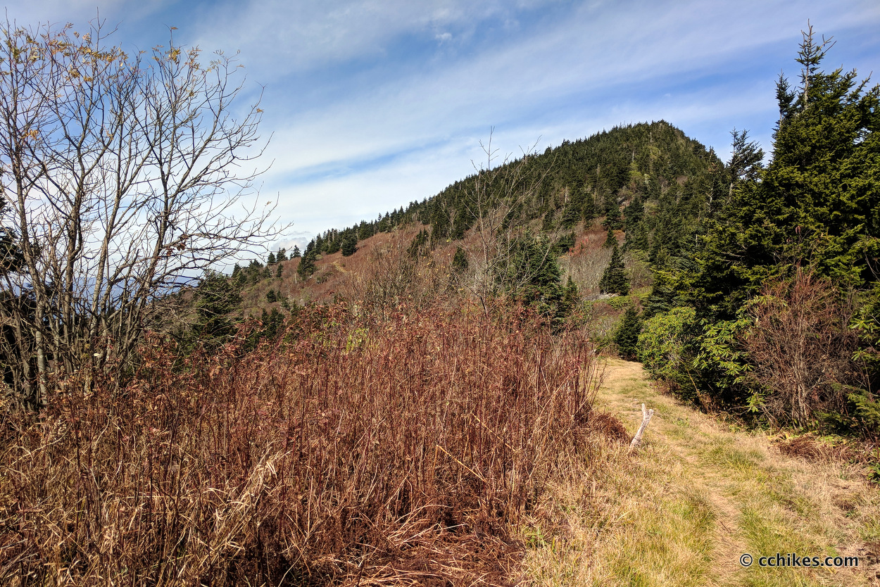
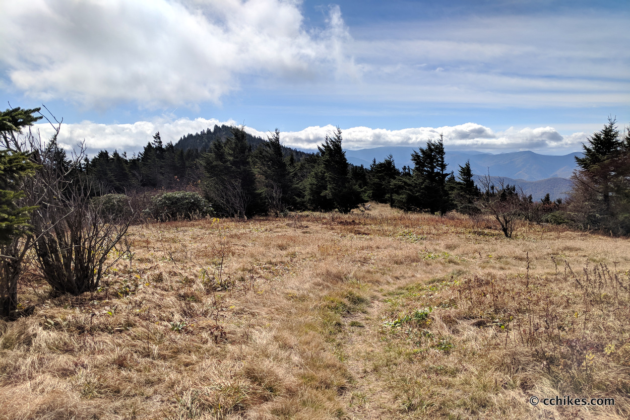
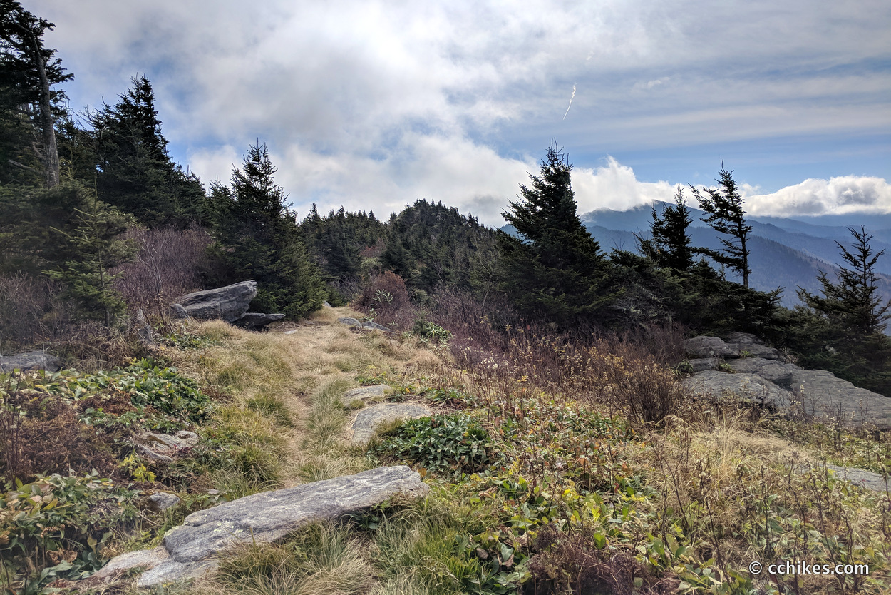
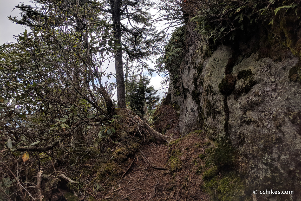
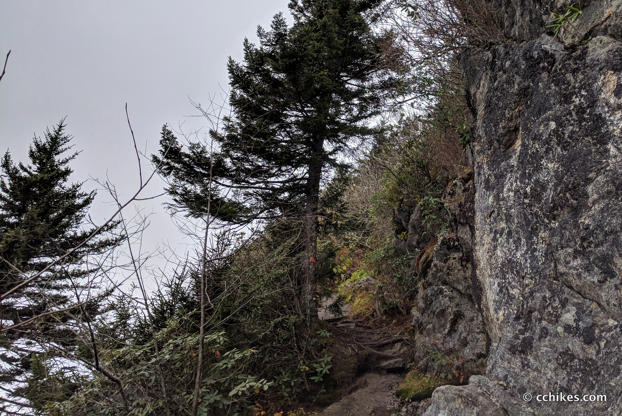
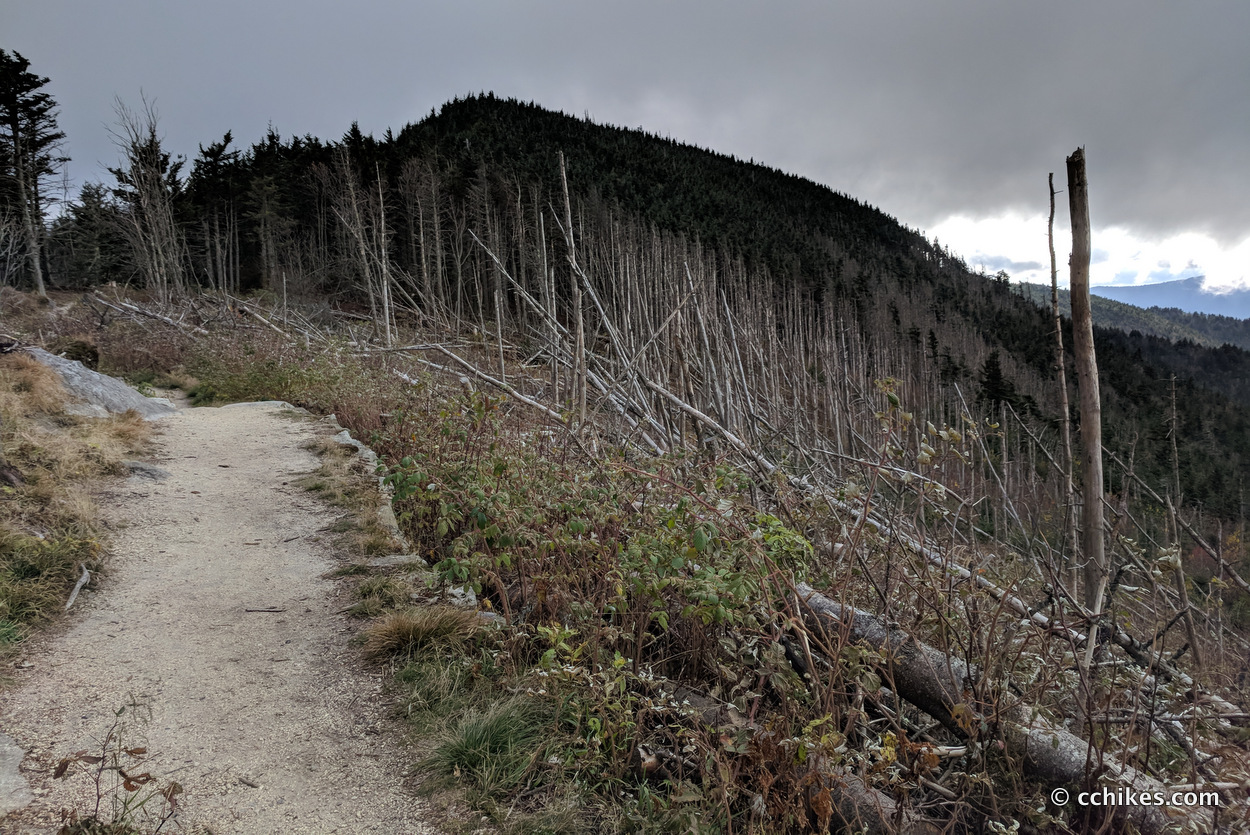
Once you’re on top of the mountain, you just walk the ridgeline all the way to Mt Mitchell. The view is gorgeous. You go over and around grassy balds, tunnels of rhododendron, rocky crags, and dense copses of black firs. The trail rises and falls with the backbone of the mountains. It’s a lot of fun to explore.
There are some flat, grassy ridges, and short downhill walks from one summit to the base of the next, but you’re walking uphill most of the time. Water is sparse in the second half of the trail, so fill up whenever you can.
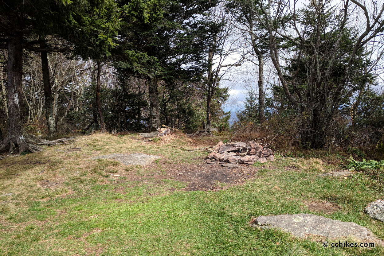
After you make the climb from the valley to the ridge, you never go more than a mile without encountering an established campsite. If you want to break up your hike, it’s easy to do. Just remember that backcountry camping is not allowed once you cross into Mt Mitchell State Park. The last place to legally camp is at Deep Gap, a flat area where the Colbert Ridge Trail intersects with the Black Mountain Crest.
Apparently, there’s a water source near a rock overhang down the hill just off the Colbert Ridge Trail. I had been filling up as I went and didn’t explore the area, so take that with a grain of salt. I used my homemade gravity-fed water filtration system.
This is not a crowded trail. It’s actually a little jarring going from the grace and solitude of the trail to the cacophonous crowd near the summit.
Impressions
Frankly, the hiking on the Black Mountain Crest Trail is not very difficult once you get to elevation. The walk up to the ridge is definitely strenuous, but the hiking from there to Mt Mitchell is labeled strenuous more for the dangers inherent in ridge-walking than the strain on your body.
If you’re in good shape and enjoy climbing, then it’s really not that difficult. For all the talk about how this trail is the “Death March of North Carolina,” I cranked it out in 6 hours with frequent breaks to take in the views.
The climb up the mountain is like a longer version of the Pinnacle Pass and Rim Of The Gap trails at Jones Gap/Caesars Head in upstate South Carolina. Walking the ridge is reminiscent of the northern half of the Art Loeb Trail, specifically the section called the Narrows. If you can do those trails, then this one will not pose too much of a challenge.
The major difference between this trail and the aforementioned ones is that it is relentless. On most day hikes, there’s usually a point where the dragon is slain and the quest becomes easy. You know that for every step up, there will be a step down. Not so on the Black Mountain Crest Trail. Another thing that makes this trail difficult is the lack of switchbacks. Most of the elevation is in a straight line. That put you on your toes and keeps you there.
If you’re thinking about doing this with friends and/or children, I would recommend climbing to the ridge on the afternoon of the first day and camping at elevation. That way the hardest part is behind you. Then I would spend the next morning making my way to the summit. I’d get some pictures at the top and then drop by the restaurant on the way back down the mountain. It would make for a fun weekend.
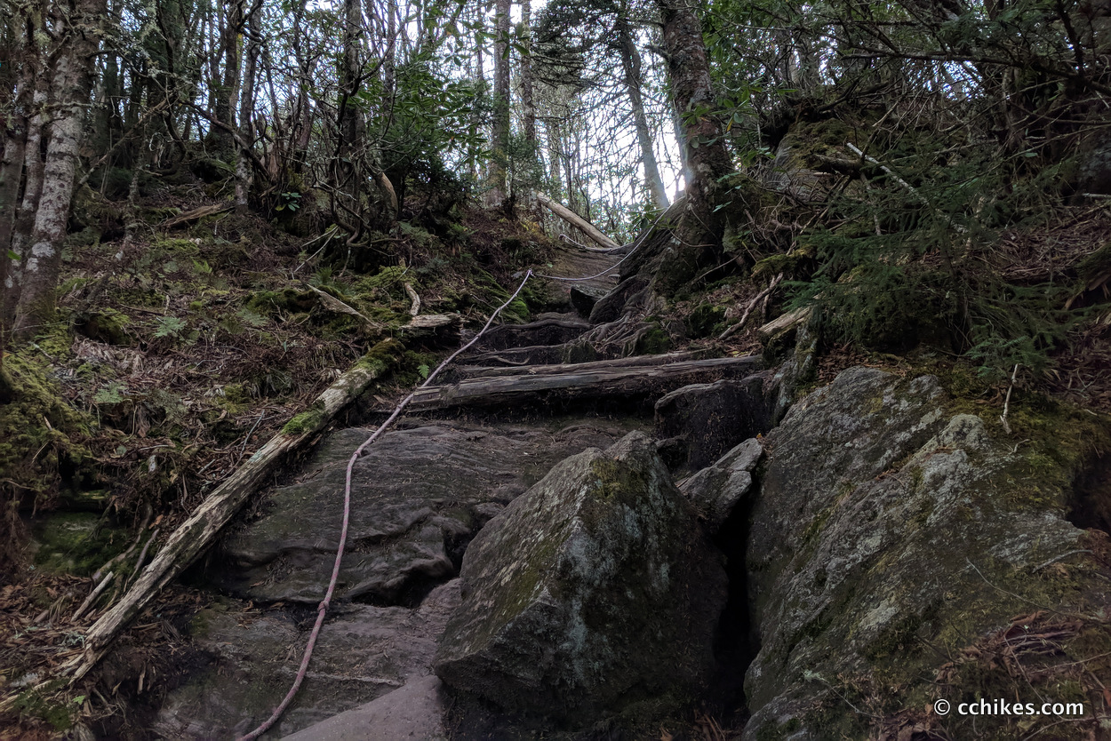
Like I said before, some of the ridge follows rocky crags—several of which are steep. Some parts even feature ropes to help you scramble up the trail. You will want to bring trekking poles on this hike. Depending on the time of year, you’ll probably want some bug spray too.
Navigate
More
Discover more North Carolina trails.


Elite Lawncare and Fence
Hey folks! ? Just stumbled upon this awesome read about the Black Mountain Crest Trail to Mt Mitchell. ⛰️ Did you know it’s considered one of the toughest short trails in the southeast? ? The trail climbs from Bowen’s Creek to a ridge connecting 10 mountains above 6000 feet! ? The hike is filled with stunning views, grassy balds, and even rocky crags. ? Who’s up for the challenge? ? Also, love the tip about using GPS even without internet! ? #LocalAdventure #BlackMountainCrestTrail #HikingGoals ?
Elite Lawncare and Fence
Just stumbled upon this article about the Black Mountain Crest Trail on Mt. Mitchell, and wow, it’s like taking a virtual hike through our backyard! ? The way the author describes the scenery and the challenge of the trail makes me wanna lace up my boots ASAP. ? Has anyone from our tight-knit community tackled this trail recently? ? I’m curious to hear your stories and recommendations! ?♂️?♀️ Let’s share our local wisdom and inspire some fellow adventurers! ⛰️✨