


Jones Gap State Park in upstate South Carolina is a real gem. It’s part of the Mountain Bridge Wilderness Area along with Caesars Head State Park and a trail network connects the two parks. There’s even a spur that connects to the Foothills Trail at Table Rock State Park, so you could conceivably walk all the way to Oconee State Park. Well, technically, you could take the Foothills Trail to the Chattanooga Trail to the Bartram Trail to the Appalachian Trail and walk to Maine, but I digress.
Jones Gap requires visitors to pay $5 per car to park and hikers must register at the trailhead. The ranger station features bathrooms, a store, and a fireplace. Camping is allowed by permit only. It’s a very strict park system, but the recent wildfires in the area have given me a newfound respect for the rules.
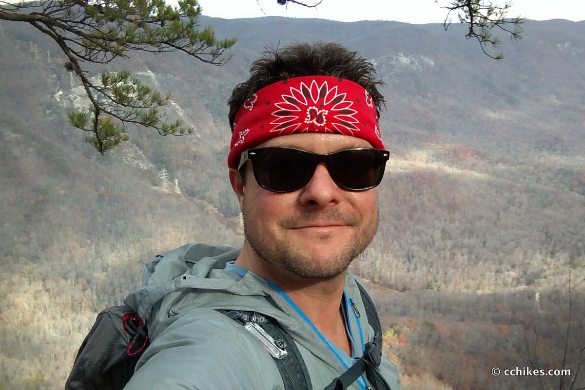
I woke up feeling good on a Sunday morning and thought I’d get some miles in. I crossed the waterfalls in the area off the list years ago. Now that I’m in better shape, I’m tackling some of the longer and harder trails in the area.
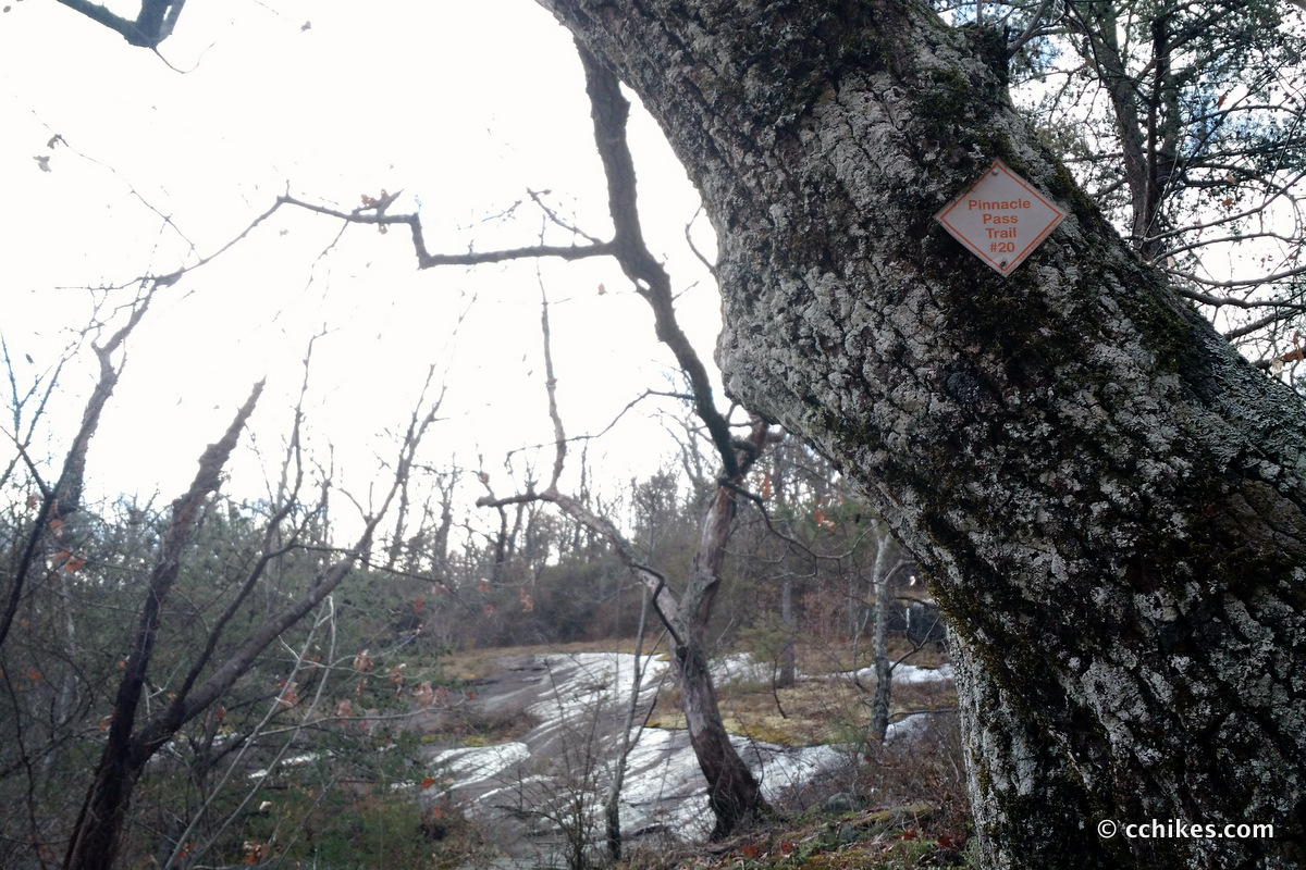
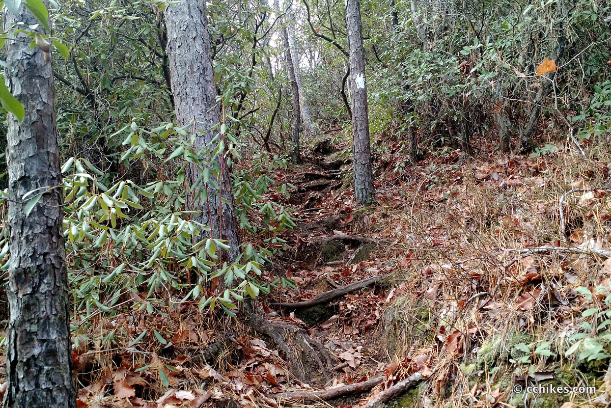
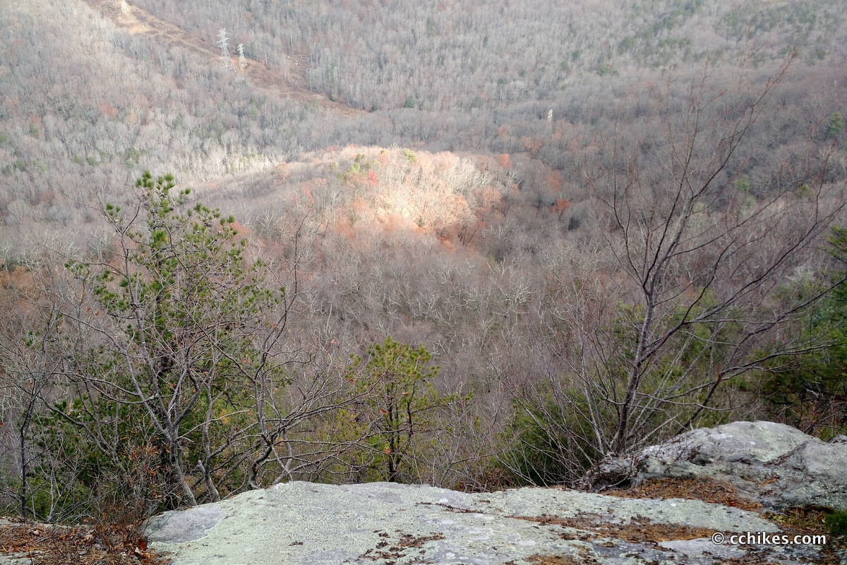
One of my favorite things to do outdoors is ridge walk. There’s a great ridge trail called Pinnacle Pass at Jones Gap. Getting up onto the ridge was a real challenge, but the view from the overlook was impressive. Then I got to ridge walk for a long time before gradually descending the mountain on the Rim of the Gap Trail.
Orienteering
I relied on my own GPS map ↗ on my smartphone to track my progress on the trail. Many people don’t know this, but you don’t need an internet connection to ping GPS. It even works while your phone is in airplane mode. This GPS map showed me exactly where I was on the trail at all times. Feel free to copy this map or download the location data points and import them into your preferred GPS app. These step-by-step instructions will show you how to do that.
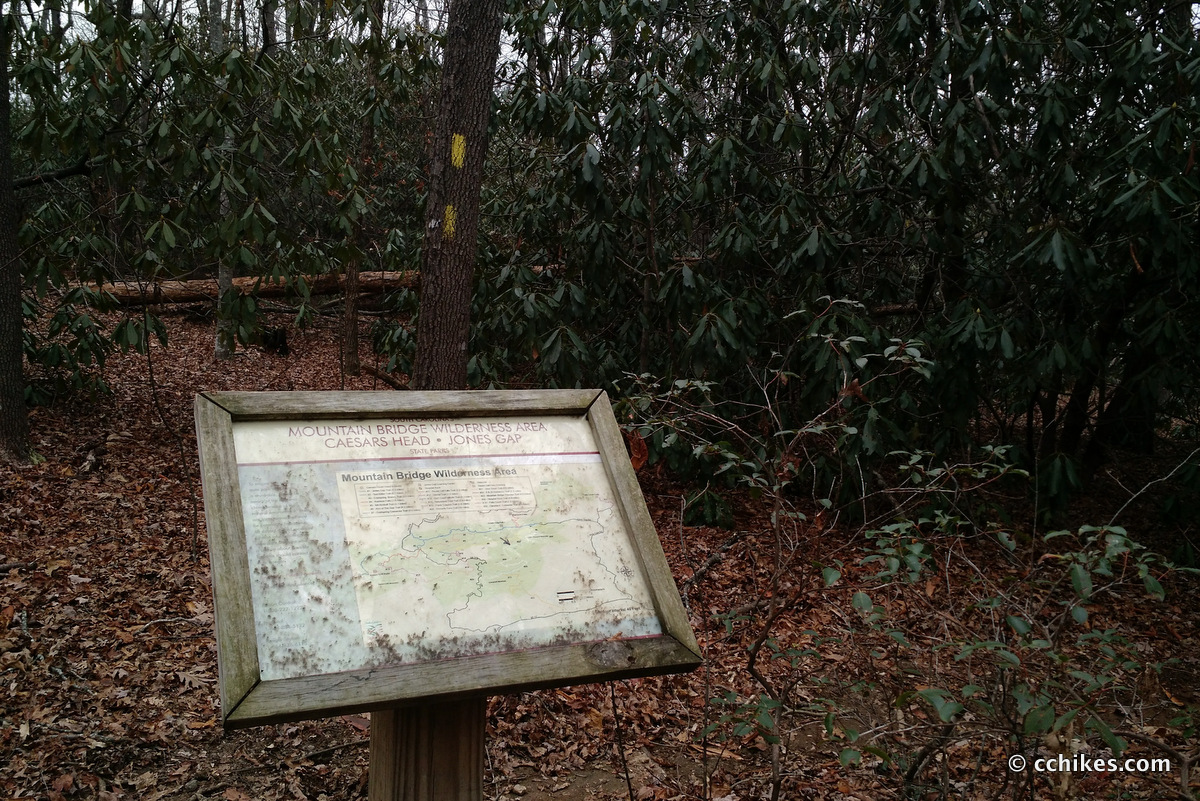
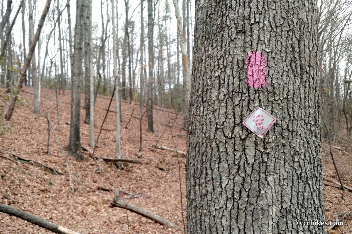
The trails in Mountain Bridge are very well marked. Beyond blazing, there is a signboard with a map of the entire trail system at every major juncture. But there are side trails and spurs that can get a little confusing, so you should have some kind of map. You can buy a paper map at the ranger’s office for a couple of bucks.
As you know, tech can malfunction, break, or run out of power. It’s prudent to take a contour map and a declination-correcting compass on your backpacking trips as well. This is the map and compass I own.
If you shop through any Amazon link on this website, you support me at no cost to yourself. Learn more in my disclosure.


About the loop
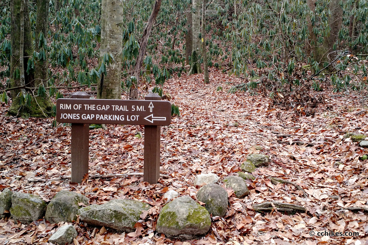
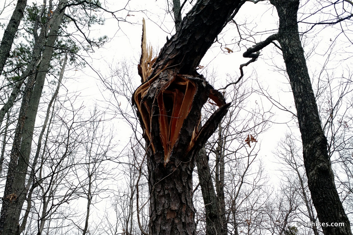
The loop starts on the yellow trail (#6) just across the river from the ranger station and then turns left onto the white trail (#20). This trail climbs the mountain and then follows the ridge. The climb is technical and taxing. You can make this a 6-mile loop by taking the purple connector (#22) or an 8-mile loop by turning right onto the pink connector (#21). This is an old logging road with many downed trees you have to maneuver around. You eventually run back into the yellow trail (#6) and take it down the mountain and back to the trailhead.
Impressions
I thought this was a fun hike, but the only real spectacle is the view from the overlook. The rest of the ridge is thick with trees, boulders, and rhododendron/mountain laurel (one day I’ll learn how to differentiate between the two). Do this trail if you want a steep climb and like the green tunnel. If you don’t, then opt for one of the shorter waterfall hikes in the park.
I finished the 8-mile loop in a little over 3 hours (somehow I kept pausing my Fitbit Blaze and throwing off my workout time) and listened to The Atlantis Gene while hiking. I felt very strong even after hiking the Raven Cliff Falls loop the day before. I thought about heading up into Pisgah National Forest to do some more miles (it was only around 12:30 p.m.), but I needed to battle the crowds at the mall before Christmas got any closer.
Update
I’ve hiked these trails a few times now. I used Rim Of The Gap to piece together a loop around Caesars Head in February 2017 and I did this exact same loop in reverse in May 2017. It’s definitely easier to ascend on Rim Of The Gap and then descend on Pinnacle Pass.
Navigate
More
Discover more South Carolina trails.
Discover more loop hikes.


Leave a Reply