
Daniel Ridge Loop is one of the more enjoyable trails I’ve hiked in a while. The hike is in Pisgah National Forest near Brevard, North Carolina. It didn’t hurt that the temperature dropped into the mid-60s, which is rare for early September. The loop is around 4½ miles and features a waterfall at the beginning or the end depending which way you go on the loop. I went clockwise because my guidebook said that the elevation was more gradual that way. The book was right.
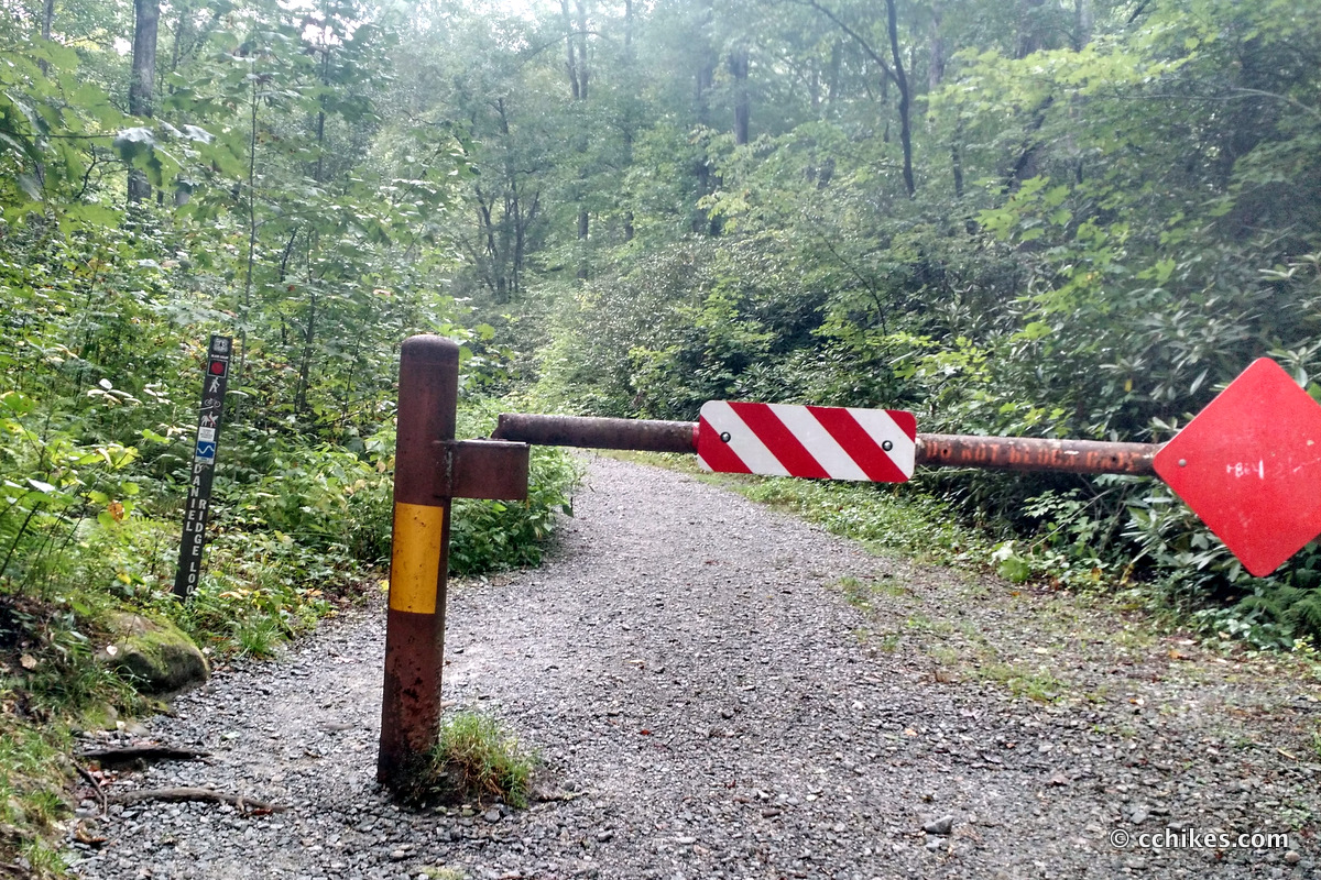
This is less of a trailhead and more of a gated gravel road. There are no restrooms nor information boards/maps. There is very limited cell signal if you use Verizon. If you use anything else, you will have no reception. Park at the gravel lot.
About the hike
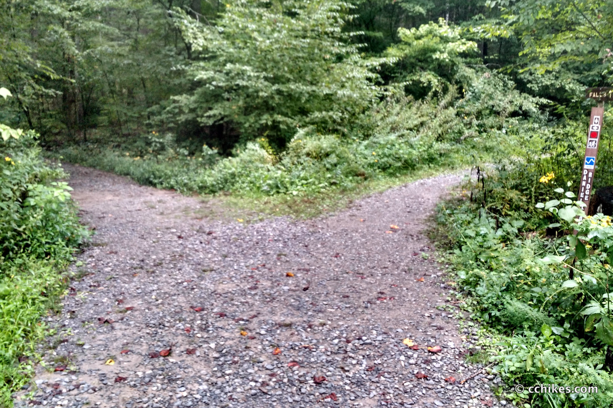
Walk around the locked gate and follow the roadbed. There are lots of campsites on the left and right that attract fly fishermen and weekend campers year-round. Walk until you reach the fork in the road.
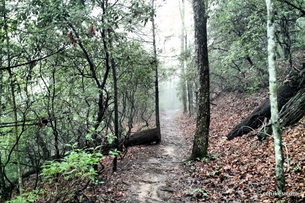
If you just want to see the waterfall, then go right and you’ll be there after +/-200 hundred yards of easy walking. If you want to do the loop, then I recommend that you bear left at the fork and save the waterfall for last. Going this way, you will walk uphill for the first 3 miles. The elevation is gradual and there are switchbacks when necessary. You start on an old gravel road and the trail eventually narrows onto dirt, loose rocks, and roots. Trekking poles help tremendously for balance and to aid in climbing.
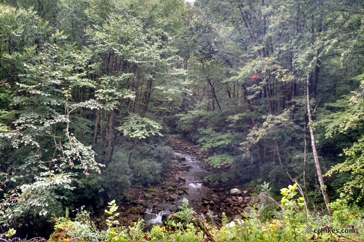
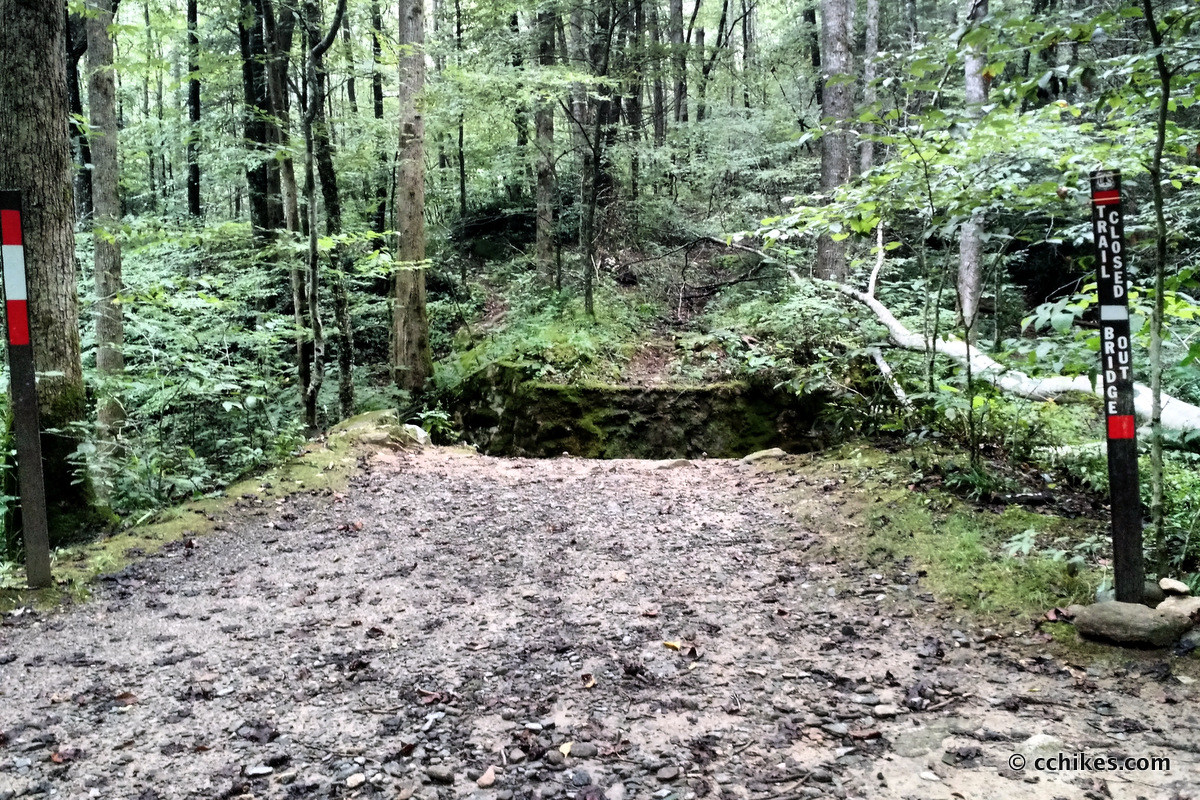
You mostly follow the river. You’ll pass an old breakwater that was part of a now-defunct fishery. You’ll intersect with another trail (Cove Creek Trail) by a washed-out bridge. It’s all a lot of fun to see. Just make sure to follow the red blazes or you might get off-trail. The trail could be better marked, in my opinion.
You’ll wonder how much farther it is until you start heading downhill. When you can no longer hear the river, you’re almost to the top. There are no vistas at the summit. That said, following a contour is a different kind of fun. On the way down, you’ll realize why you chose the long way up. The way down is steep. If it has rained lately, the path will be slick and muddy.
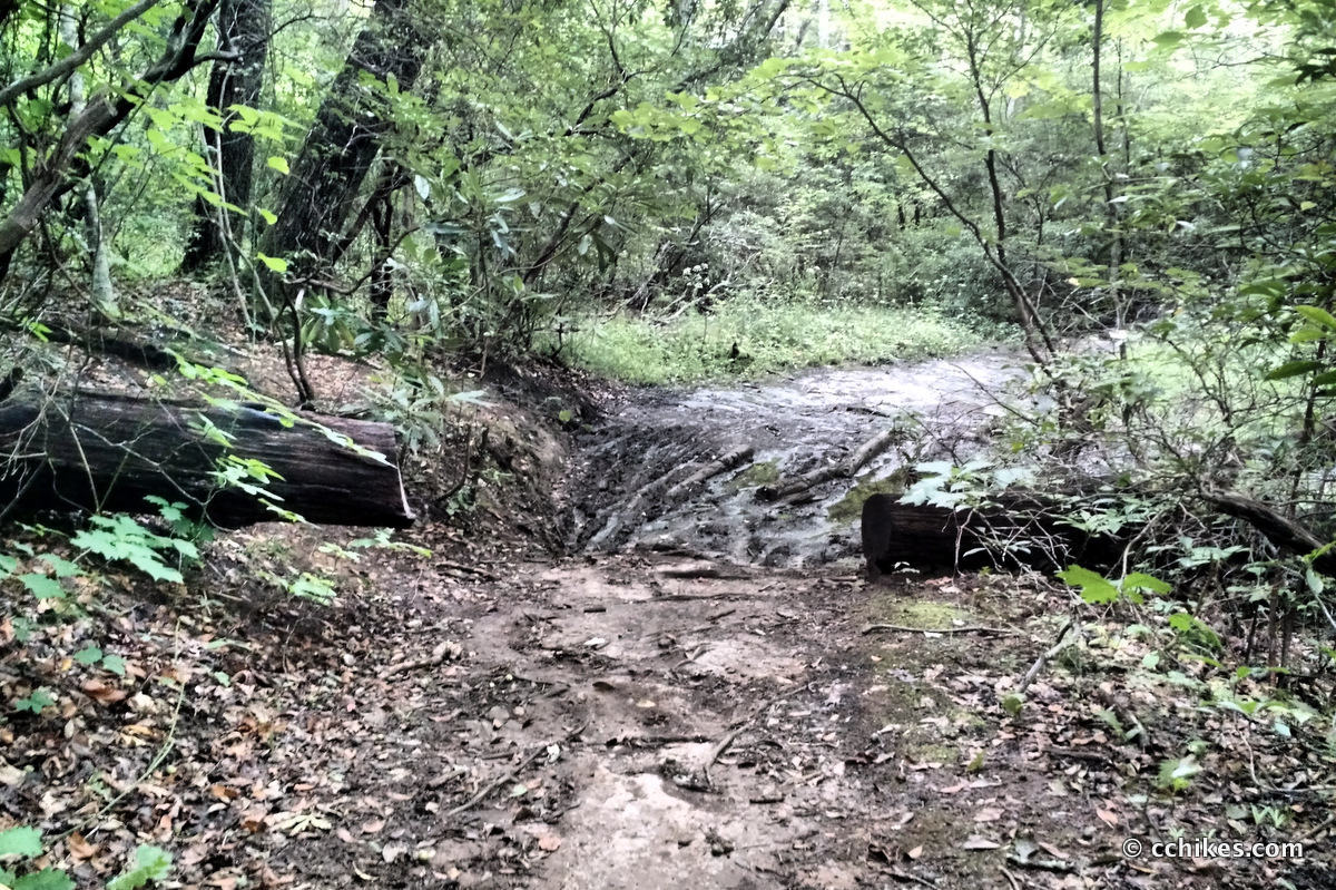
You’ll eventually come to a large mud puddle. There is a path to the left that goes around the puddle. Take it! I tried to walk around the puddle at first. When my trekking pole sunk halfway into the puddle, I realized that it made sense to backtrack. I can’t imagine the horror (or glee) of mountain bikers who must leap into the puddle only to be stopped dead in their tracks by the deep mire. Could you imagine losing a shoe in that gunk?
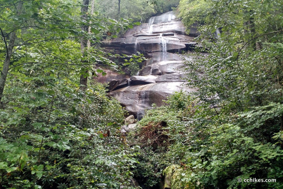
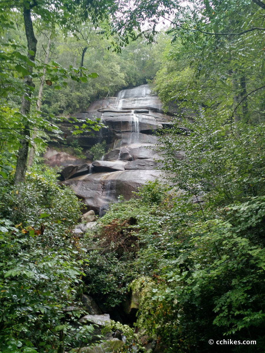
You’ll cross some log bridges and eventually pass the top of the falls. You can’t see anything. If I had been listening to headphones, I would have missed it completely. Eventually, the loop spits you out onto a gravel road. There is no signage here. Continue straight/left to reach the base of the falls. It’s an impressive 150-foot cascade. I’m told that it dries to a trickle when there has been little rain.
I guess that’s the trade-off; you can have a dry hike with meager falls, or robust falls and a muddy hike. I seem to have gotten the worst of both worlds as it had just started raining.
To get back to the parking lot, simply turn around and walk back toward the trail. Stay on the gravel road and then take a left at the original fork to head back to your car.
Impressions
I really enjoyed this hike. The elevation is challenging without being too draining. The downhill is challenging, but not really dangerous. I might go back and hike this in the other direction when it’s colder and less wet. If you’re planning this hike in warm weather, bring bug spray. I recommend Ben’s 100.
This hike is very close to Cat Gap Loop and Moore Cove Falls.
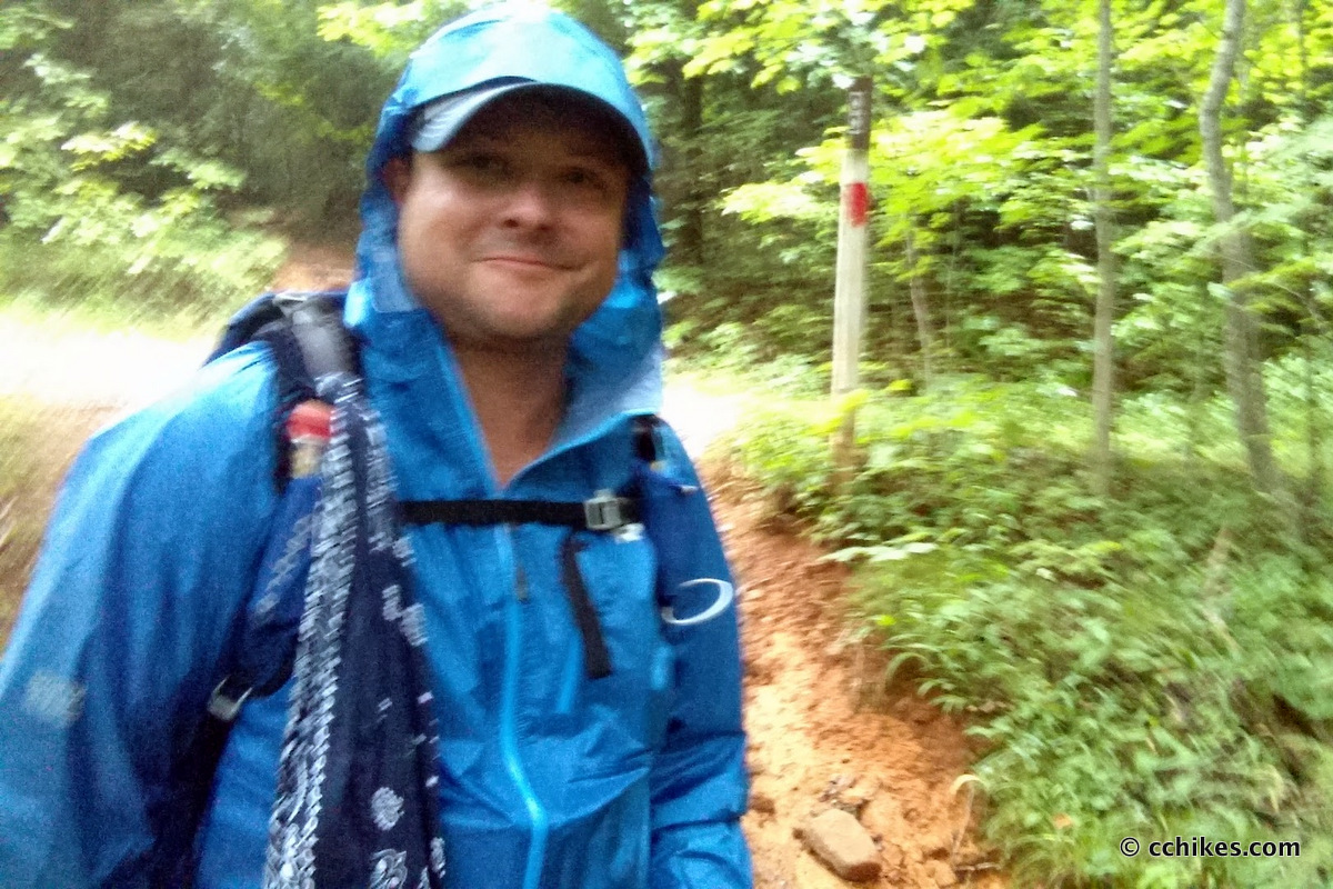
Sorry about the blurry photos. It started raining and I didn’t want to pull out my DSLR. So we’re left with bad cell phone pictures taken in a misty environment with low light. Here’s a better view of the area after a snowstorm in January 2017.
Update
I went back and hiked this trail two months later in the opposite direction (counter-clockwise). The steep section was not nearly as bad as I remember. I know I’m in better shape now than I was then, but this was really easy. I hiked the entire loop in 83 minutes, including a brief respite at the falls.
You basically pick your poison—majority uphill clockwise with an easy grade, or majority downhill counter-clockwise with a steeper uphill. There’s another benefit to going counter-clockwise. Most mountain bikers go clockwise, so you’ll see them coming toward you. I only encountered one biker who was going the same direction as me.
Navigate
More
Discover more North Carolina trails.
Discover more waterfalls.
Discover more loop hikes.


Leave a Reply