


I’ve been meaning to visit the Cataloochee Valley in Great Smoky Mountains National Park (GSMNP) for years. I tried to spend a weekend there in the fall of 2016, but wildfires resulted in temporary road and park closures. I’m not a big fan of camping in freezing weather, so I figured it would be late spring of 2017 before I could try again.
Last Thursday afternoon, I realized that I had an unexpected 4-day weekend and no plans that I couldn’t break. An unusual January warm spell provided highs in the 60s and lows in the 40s, so I called the GSMNP office on a whim and inquired about what was open.
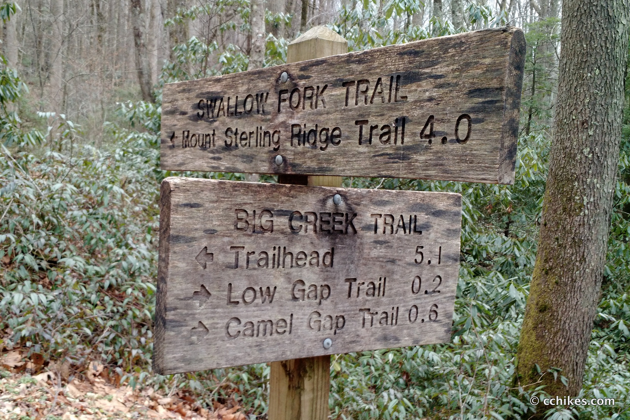
There had been a winter storm only a week prior and I had no idea what conditions were like in the mountains. The ranger went out of her way to explain what roads were closed due to snow and what parts of the park were inaccessible by car. Together, we pieced together a 35-mile weekend loop hike starting and ending at Big Creek Camp.
I’m used to parking at a trailhead and walking until the sun is setting and I spot an established campsite. But GSMNP imposes a permit system intended to minimize overcrowding in the park. I had to register and pay for permits for 2 nights ($4 per night) at certain campsites in the park. This restriction severely limited my flexibility in planning. However, it probably saved me from overexerting myself as well.
Like I said, I did this on a whim. If I’d known that I’d be hiking all weekend, I wouldn’t have cranked out so many miles on the treadmill during the week. I felt that fatigue on the very first mile of the trail.
Orienteering
I relied on this contour map and declination-correcting compass.
If you shop through any Amazon link on this website, you support me at no cost to yourself. Learn more in my disclosure.


About the loop
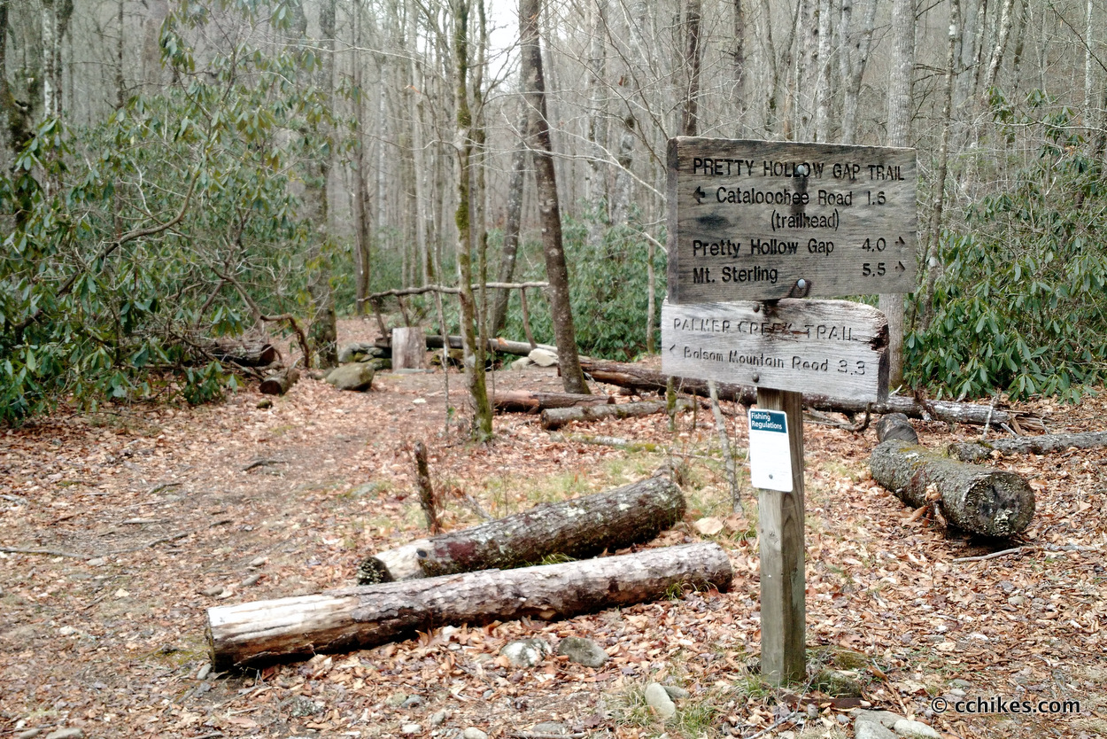
I originally picked this park because of the red section that includes the Little Cataloochee Trail. That’s the picturesque glen with the parochial buildings and herds of elk. But I planned this on impulse and didn’t properly understand the kind of elevation I would be tackling.
Add in the occasional rain and uncooperative mud and I had no problem convincing myself that I can come back and hike the Little Cataloochee Trail in optimal conditions. Plus, that would be less of a grind and better suited to a group camping trip.
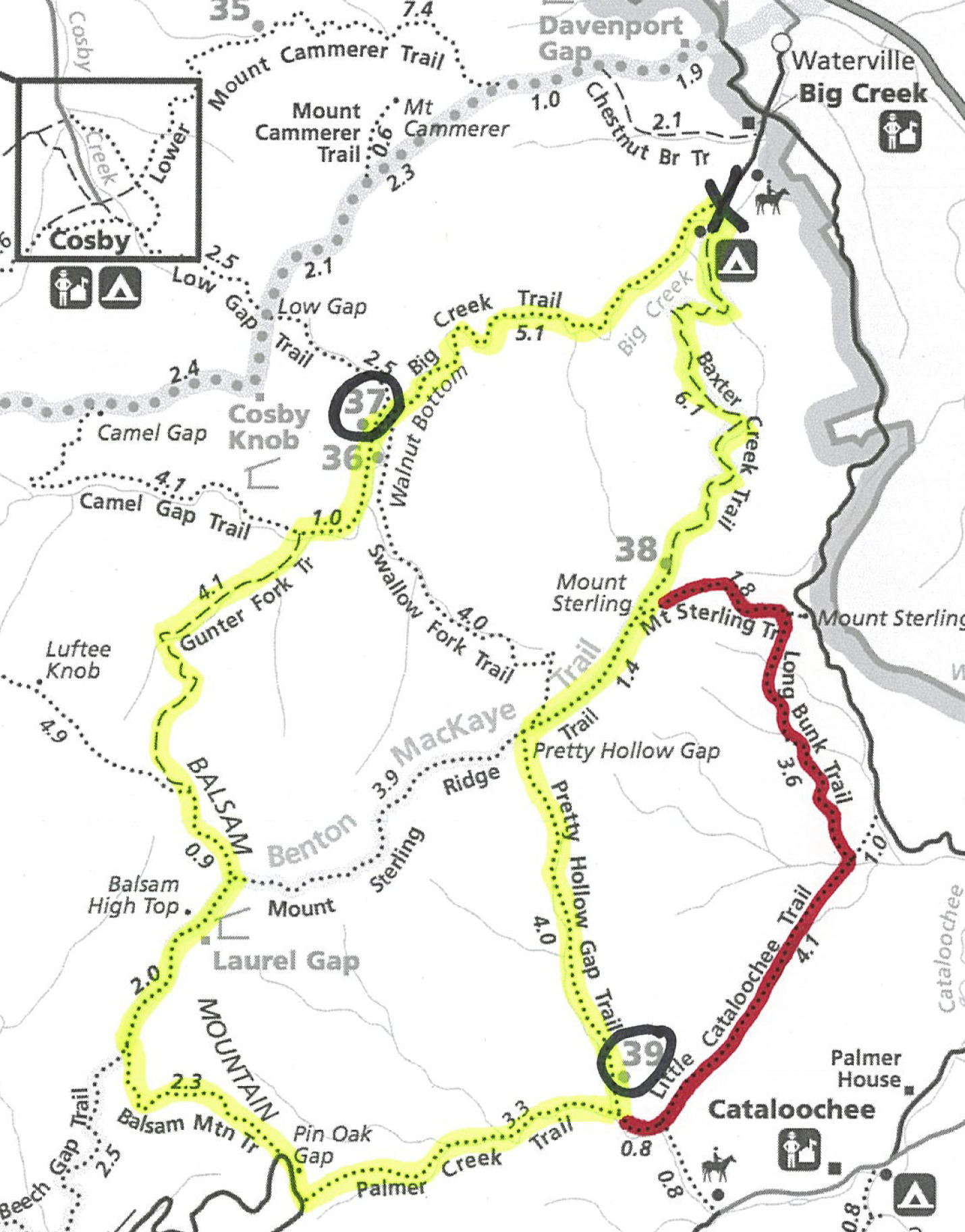
Day 1 (5.2 miles)
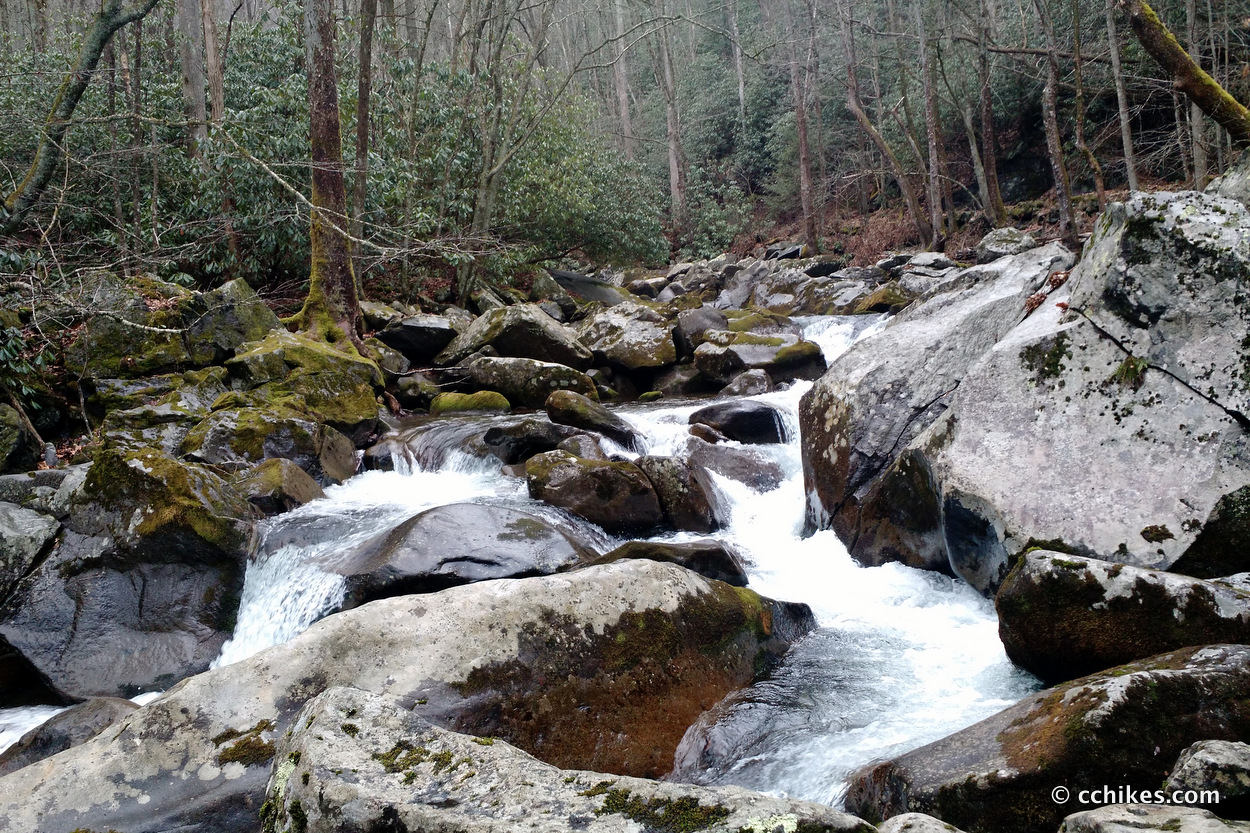
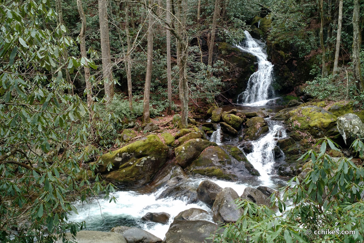
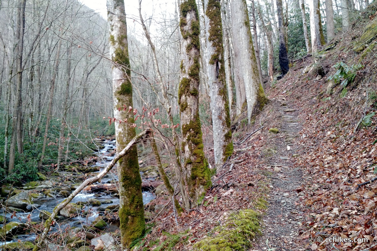
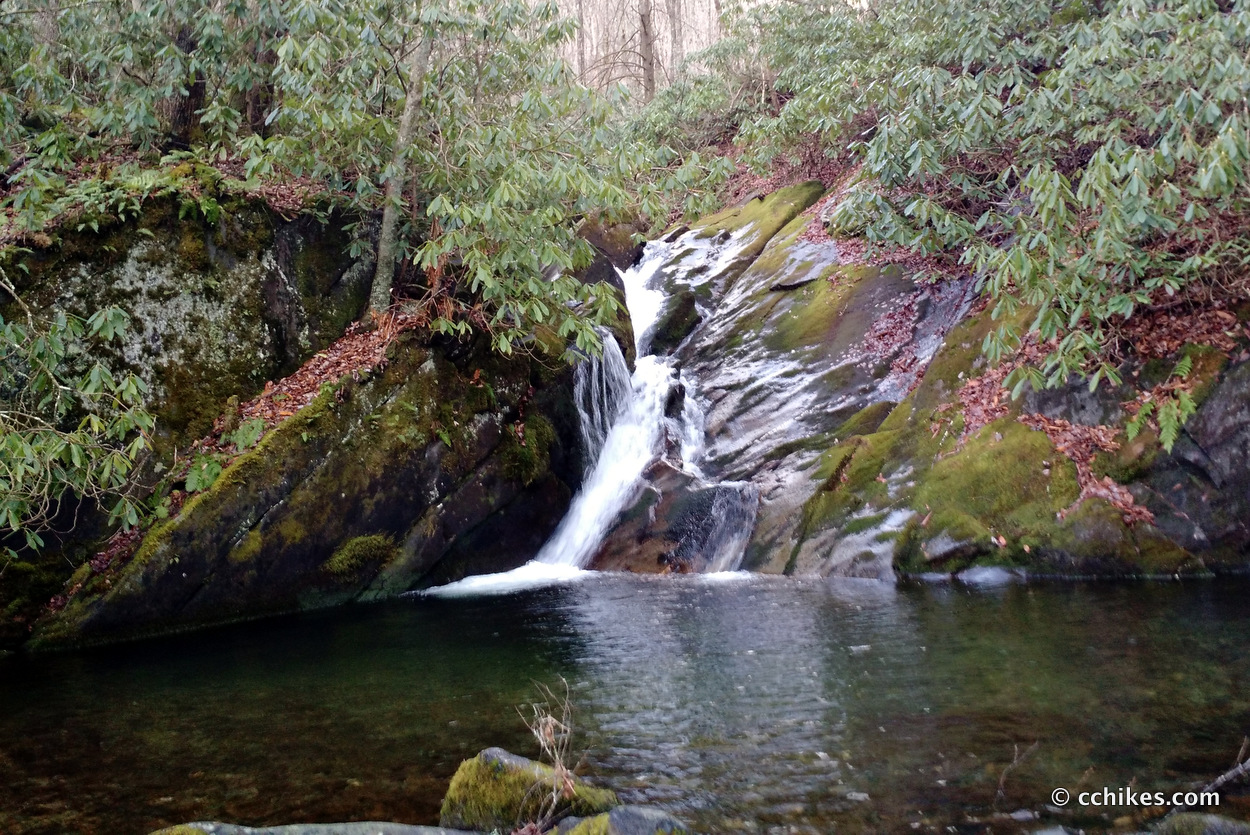
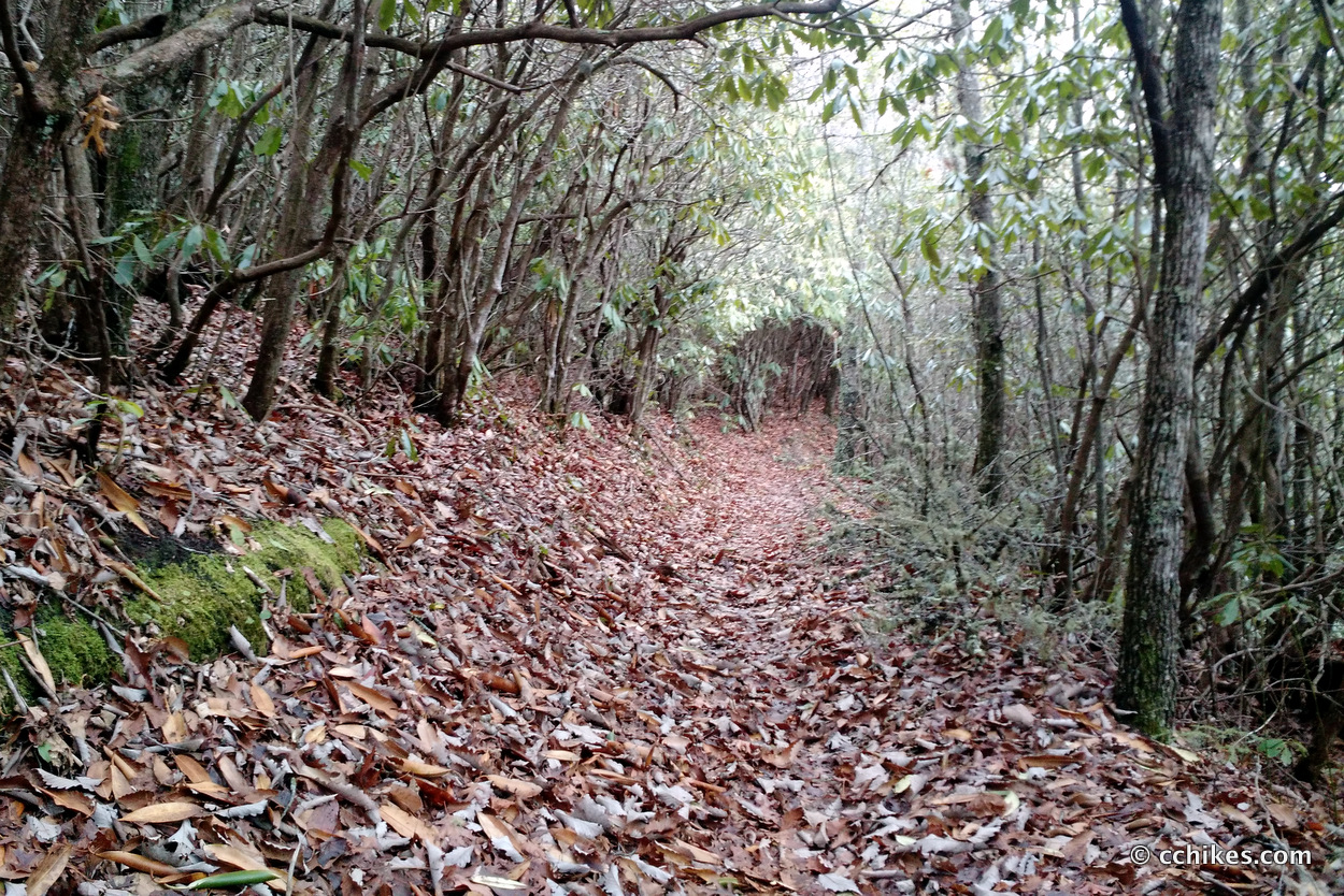
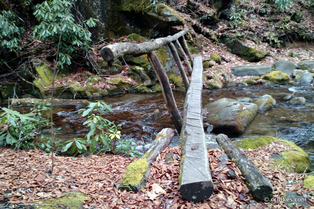
Since I only had 5 or so miles from the trailhead to my campsite (37) on Friday, I took my time getting to the park. I arrived after lunch and hiked the Big Creek Trail through a misty rain. As you might expect, the trail follows Big Creek upstream, crossing it a few times. You’re never far from the water. There are several waterfalls along the way.
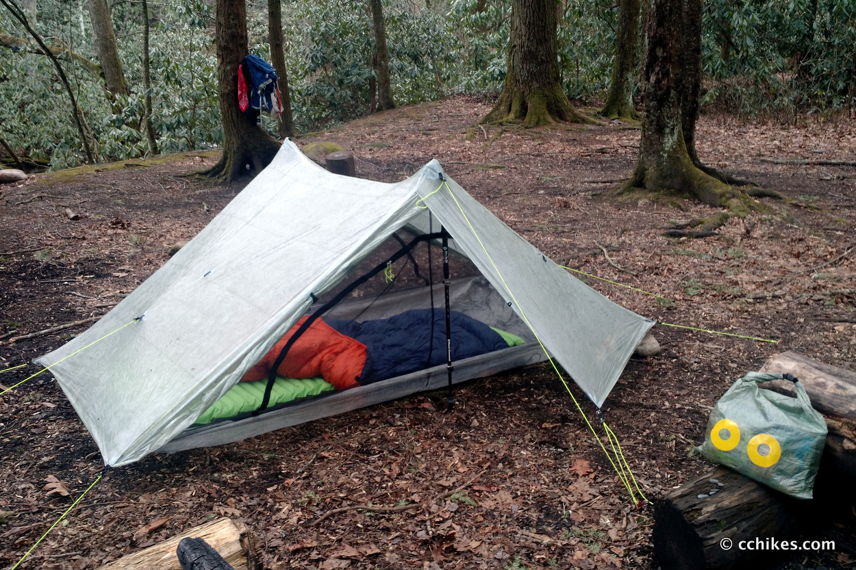
This entire section of the hike is steadily uphill as you make your way out of the valley. The campsite is huge. It must have been 5+ acres. There were steel bear cables and fire rings. I’m not a stick burner, so I set up camp close to the water and relaxed while I finished listening to The Well of Ascension, the second book in the Mistborn Trilogy.
Day 2 (14.5 miles)
The Big Creek Trail continues over 175,862 downed trees, or so it felt like. It continues following the water and there is wildlife everywhere.
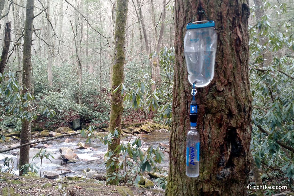
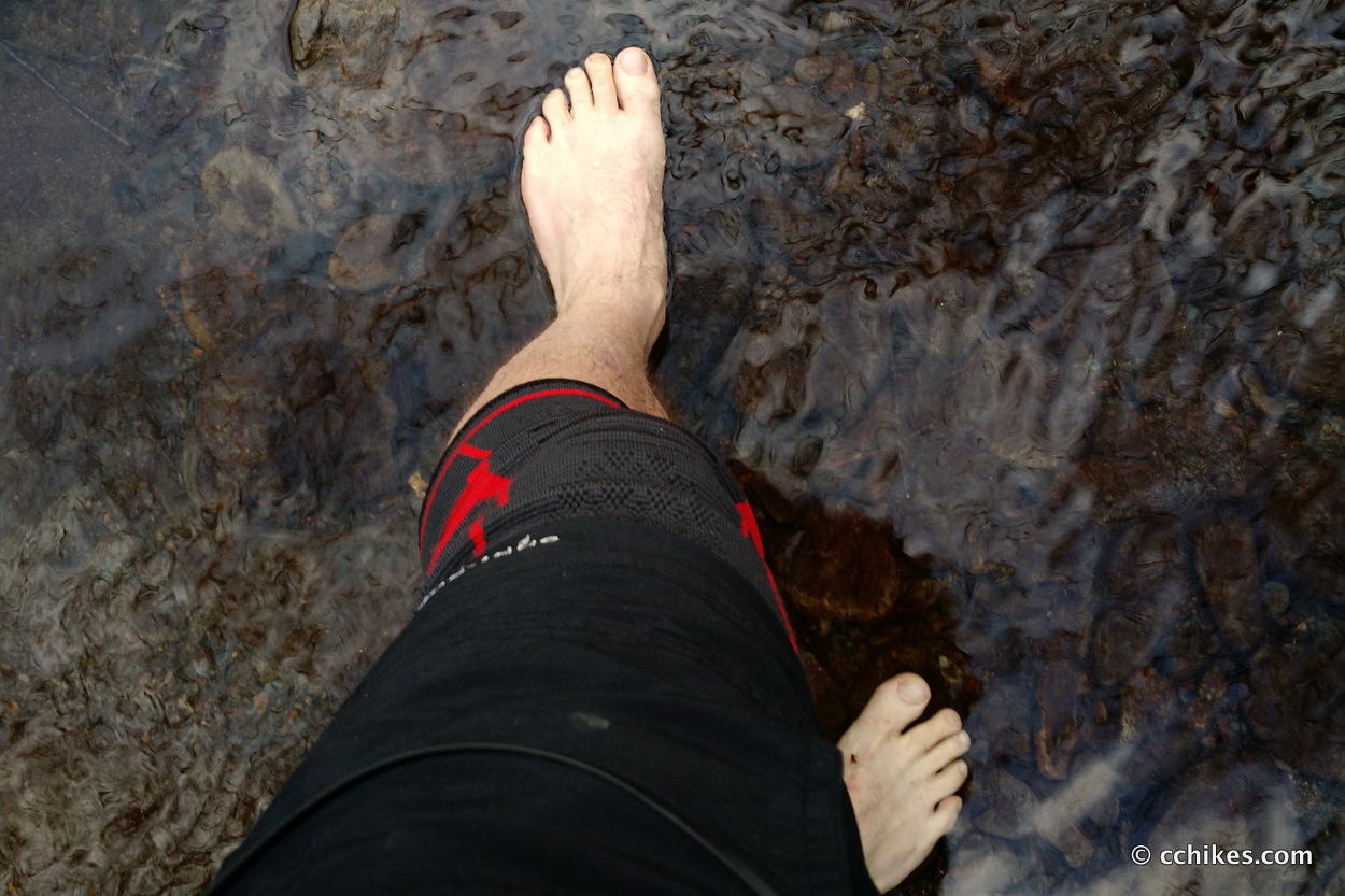
The Gunter Fork Trail follows and crosses the water continually for over 4 miles. The entire hike is uphill on a gradual grade. Depending on the rain and water levels, you may or may not have to get your feet wet. I only had to take my shoes off once to ford, but I probably should have just walked straight through with shoes on considering how wet the day was. I eventually had wet socks and shoes anyway.
The Balsam Mountain Trail is tough. It’s probably the hardest elevation I’ve done since the Pinnacle Pass/Rim Of The Gap Trail in Caesars Head, South Carolina. Actually, I would say it was harder than that, but easier than the Coosa Backcountry Loop in north Georgia.
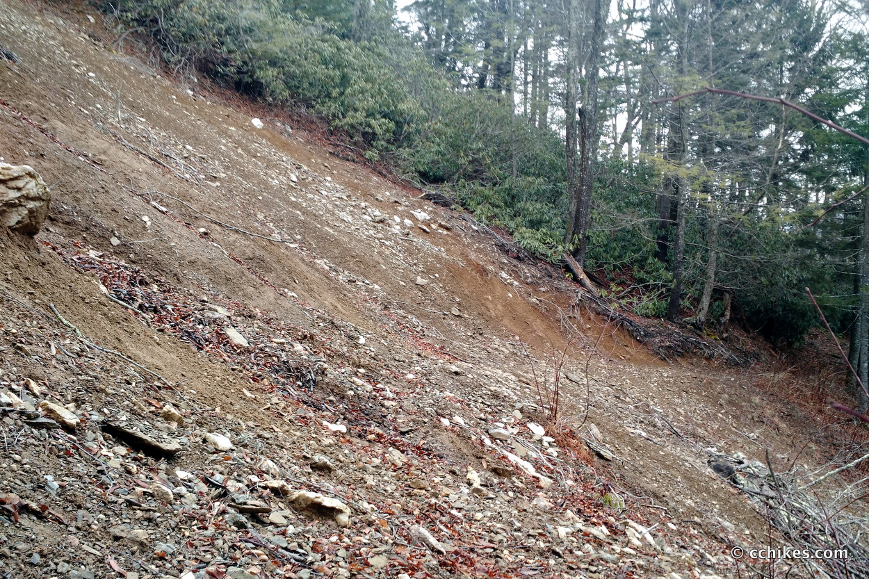
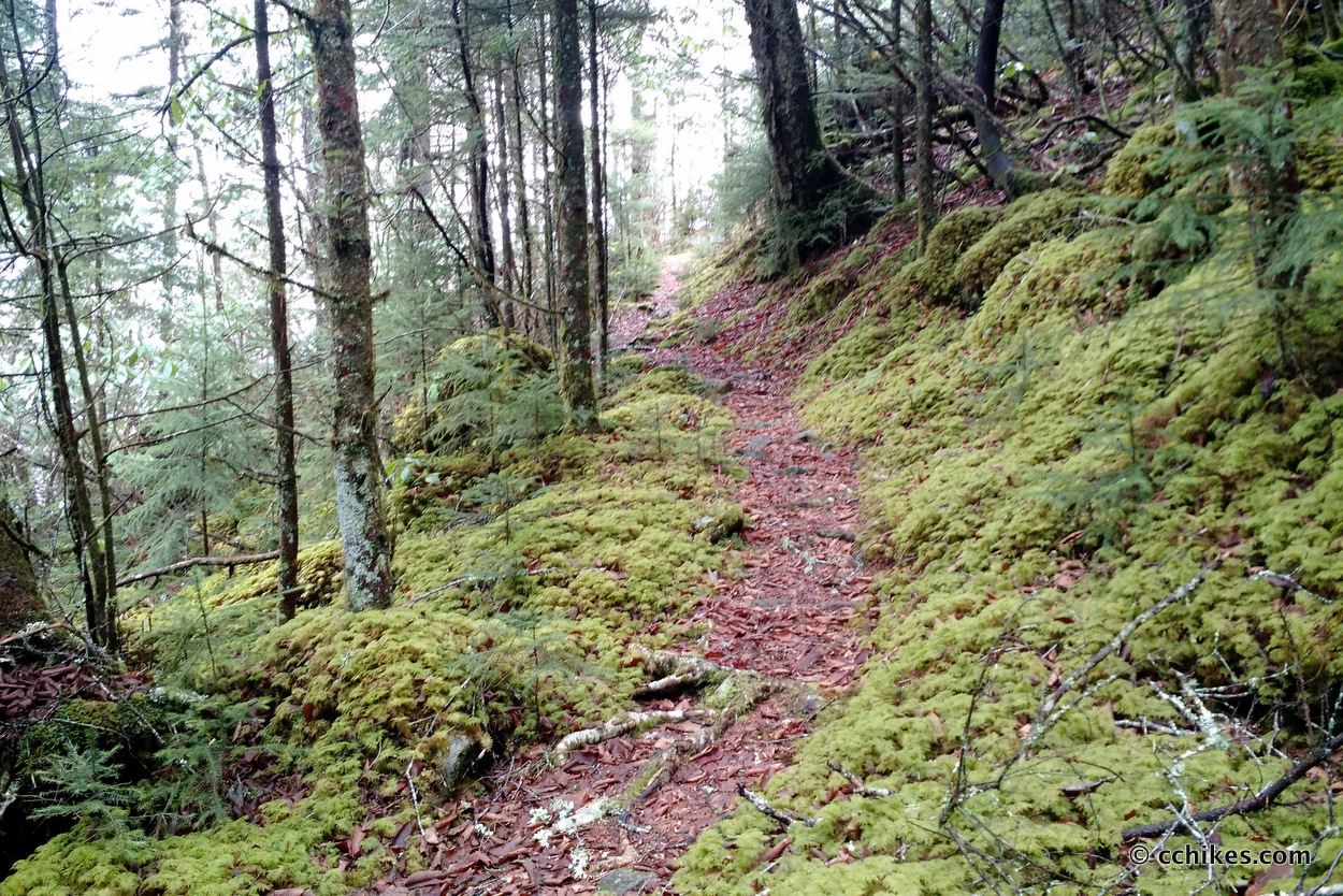
Much of the trail featured contour hiking, which I love. Unfortunately, those contours featured briar bushes, which I hate. The trail also crosses some scary rock and mudslides. At high elevation, the briars finally disappear and that dark, mossy forest that GSMNP is known for emerges.
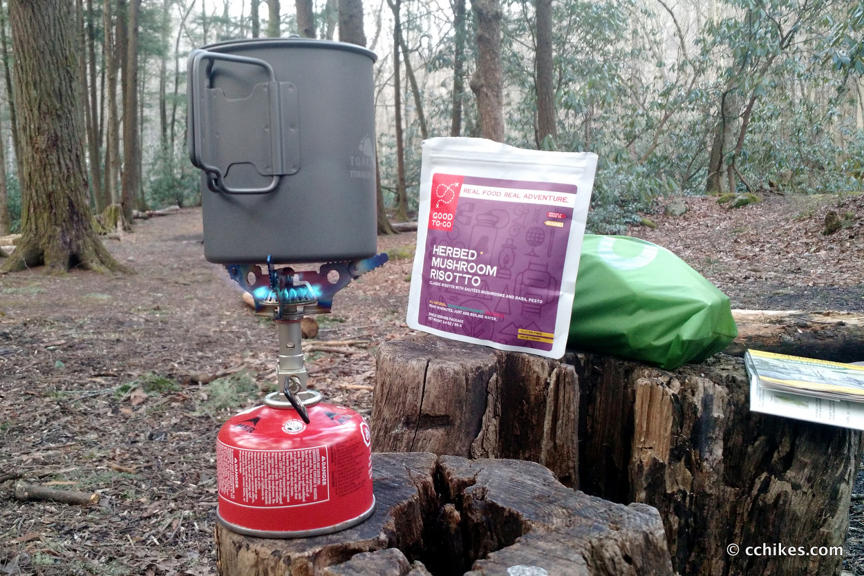
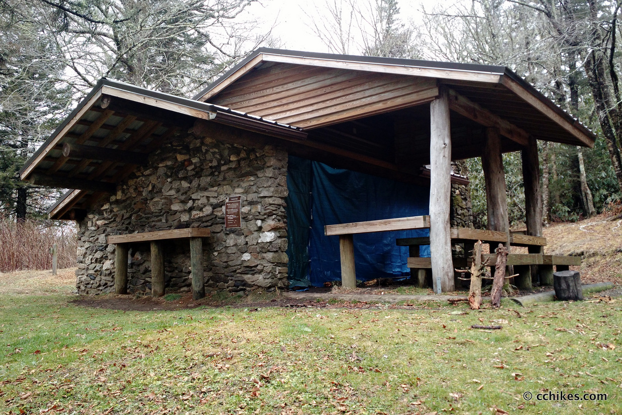
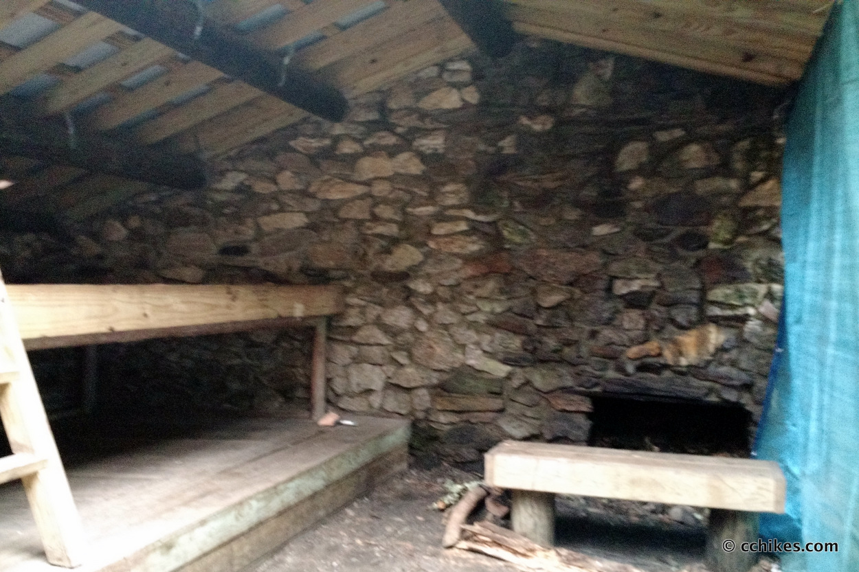
By the time I reached the summit, I was exhausted. I ate some snacks and then welcomed the very brief downhill walking. I passed the Laurel Gap shelter with its welcoming tables and fireplace and promised myself that I’d move on and stop at the Palmer Creek Trail intersection to eat a proper lunch. I use food as a motivator.
The Palmer Creek Trail brought me back down to the valley and into my campsite (39). This is a terrible camp. Who planned this? It’s on a hill. Even though I was the only person there, I searched for half an hour for a proper place to pitch my tent. I can say with 100% certainty that I picked the best ground at the site. Even that spot had a slight grade and I had to reposition my sleeping pad all night.
Day 3 (11.7 miles)
It was dark and rainy when I decided to break camp at 7:00 a.m. I knew I had to climb Mt. Sterling whether I took the Little Cataloochee Trail or not. In the end, 11.5 miles seemed much easier than 15.5 miles for my last day. I chose the shorter route. I had dreams of changing into dry clothes and eating real food.
The climb up the mountain was tough. I was tired from a week of long, hard workouts, but my knee braces kept my pain in check. I started The Hero Of Ages, the third book in the Mistborn Trilogy, to keep my mind off the climb.
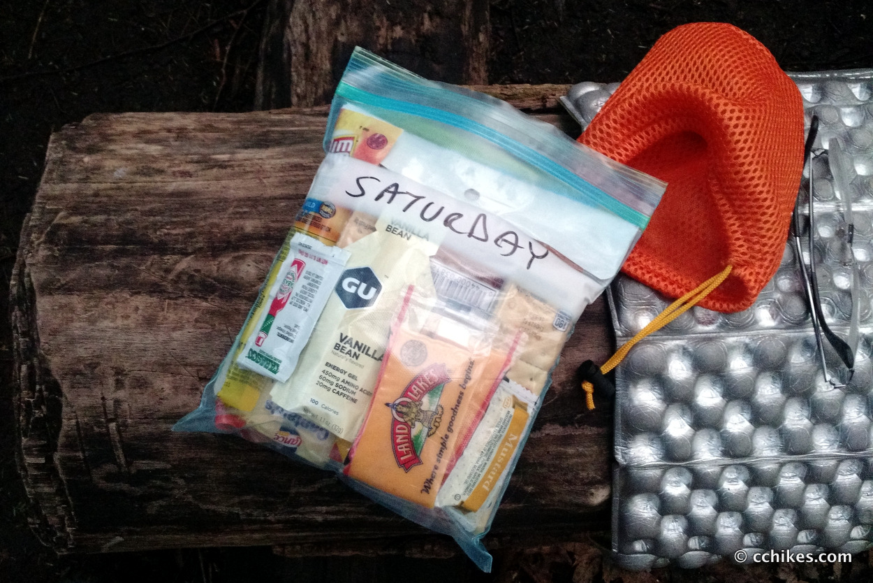
It’s odd to feel fatigued and slowly piece together that your body is running out of energy. You suddenly realize that a body is simply a machine and that machine needs to be fueled. I shoved some crackers in my mouth and promised myself I could eat the last of my summer sausage and cheddar cheese when I reached the fire tower on the summit.
The last 6 miles were all downhill. I think I made it down in 1 hour and 45 minutes. I passed several groups of masochists climbing Mt. Sterling in the rain. They were the only people I encountered on my entire weekend trip.
Impressions
I underestimated the elevation in GSMNP. I feel like I walked uphill 80% of the time I was there. I like climbing, so I’m okay with that. I just can’t make the elevation loss/gain numbers work out in my head.
Only on the way home did I remember that I had been hiking near Clingman’s Dome, the highest point on the entire Appalachian Trail. If I had it to do over again, I would break this hike up a little better.
- I would arrive very early on Friday morning and hike 12 or so miles to Laurel Gap. That would be a lot of climbing, but I’d have the whole day to do it.
- On Saturday, I would hike 17 or so miles to Campsite 38 on top of Mt. Sterling. That sounds long, but most of the day would be downhill or on flat ground. Only the last 5½ miles would be hard. And it would be very hard. I’d have to haul my camp water up the mountain.
- All I’d have to do on Sunday morning is walk 6 miles downhill to the parking lot.
The park is beautiful. I plan to go back in late spring or summer to take advantage of the many swimming holes in the park. I’ll probably spend Friday night at one of the Cataloochee group campgrounds and then spend all day Saturday hiking around the valley.
Navigate
More
Discover more trails that involve the Appalachian Trail.
Discover more North Carolina trails.
Discover more loop hikes.
Discover more waterfalls.


Leave a Reply